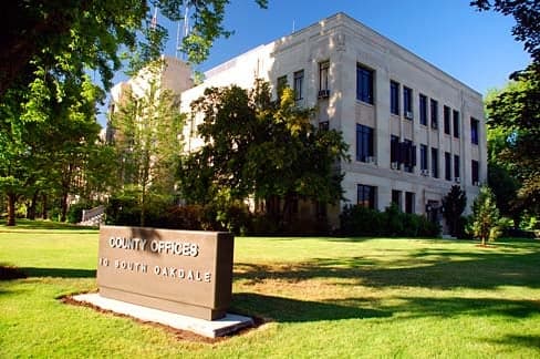
Photo: Wikipedia
Strategic Assessment of Jackson County
Workable tactical position. Some exposure to population density or targets, but generally defensible in a crisis.
What does the Strategic Assessment tell us?
Our Strategic Assessment grades tactical survivability of an area. Major population centers, military targets, fallout zones, natural disasters, and border exposure all drive risk — lower exposure means a more defensible position in a crisis.
This is heavily inspired by Joel Skousen's Strategic Relocation book. Highly recommended you checkout the book ($)What does this tell us?
Our Strategic Assessment grades tactical survivability of an area. Major population centers, military targets, fallout zones, natural disasters, and border exposure all drive risk — lower exposure means a more defensible position in a crisis.
This is heavily inspired by Joel Skousen's Strategic Relocation book. Highly recommended you checkout the book ($)Strategic Pillars

Key Distances
Strategic Assessment Analysis
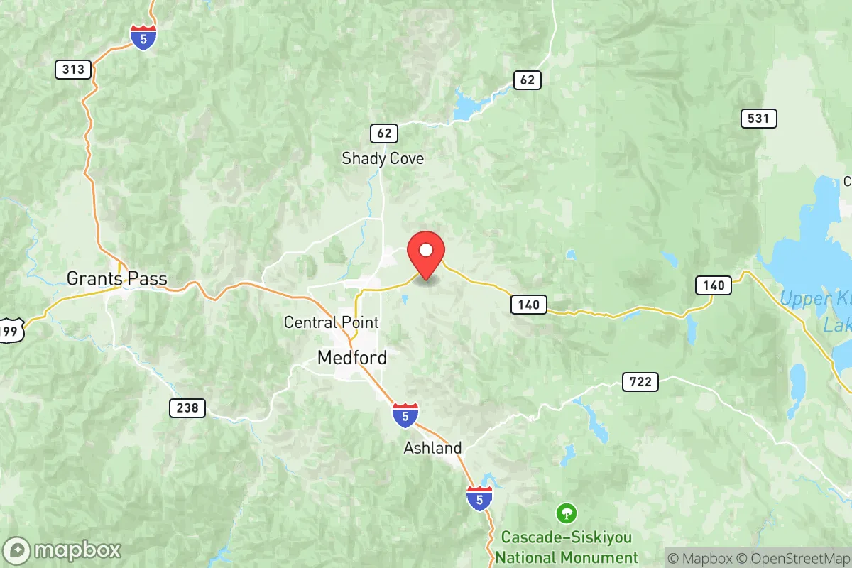
Jackson County, Oregon, offers a compelling mix of geographic isolation and practical self-sufficiency that appeals to relocation-minded readers prioritizing resilience. Anchored by the city of Medford and surrounded by the towns of Ashland, Talent, and Central Point, the county sits in the Rogue Valley, a natural bowl shielded by the Cascade Range to the east and the Siskiyou Mountains to the south. This positioning provides a buffer from coastal tsunami risks and major metropolitan fallout zones, while still maintaining access to critical infrastructure like Interstate 5 and the Rogue Valley International-Medford Airport.
Geographic position and natural advantages for long-term stability
The Rogue Valley’s topography is a double-edged sword, but for resilience-minded relocators, the advantages are significant. The valley floor sits at roughly 1,300 to 2,000 feet elevation, which avoids the extreme wildfire risks of higher mountain slopes while still offering defensible terrain. The surrounding mountains create a natural barrier that limits easy access from the coast or the Willamette Valley, making the area less vulnerable to cascading disruptions from a major event in Portland (about 280 miles north) or the San Francisco Bay Area (about 350 miles south). The region’s water supply is robust, fed by the Rogue River and its tributaries, including the Bear Creek and Applegate River systems. The Rogue River itself is one of the few undammed major rivers in the Pacific Northwest, meaning water flow is less dependent on aging dam infrastructure. The area’s Mediterranean-like climate—dry summers and wet winters—supports year-round agriculture, with the Rogue Valley being a known producer of pears, wine grapes, and hay. This agricultural base is a tangible asset for food security, as local farms and farmers’ markets in Medford and Ashland provide direct access to fresh produce without relying on long supply chains.
Risks, exposures, and proximity to fallout-relevant landmarks
No location is without risk, and Jackson County faces specific vulnerabilities that a strategic assessment must address. The most immediate natural threat is wildfire. The 2020 Almeda Fire, which destroyed over 2,500 structures in Talent and Phoenix, demonstrated how quickly a wind-driven fire can move through the valley floor. The county’s wildland-urban interface is extensive, and homes in areas like the foothills of the Siskiyous or near the Rogue River are at elevated risk during dry summer months. Earthquake risk is moderate but real; the Cascadia Subduction Zone could produce a magnitude 9.0 quake, and while Jackson County is inland enough to avoid tsunami inundation, shaking could damage older infrastructure, particularly in downtown Medford and Ashland’s historic districts. Man-made risks are lower than in major metropolitan areas, but the county does host the Rogue Valley International-Medford Airport, which could be a target in a conflict scenario, and the nearby Oregon Institute of Technology in Klamath Falls (about 70 miles east) has research facilities. The closest major military installation is Camp Rilea near the coast (about 200 miles northwest), and the nearest nuclear facility is the Trojan Nuclear Plant site (decommissioned) near Rainier, Oregon, roughly 200 miles north. The absence of major refineries, ports, or high-value industrial targets within the county itself is a net positive for fallout risk, though the I-5 corridor could be a chokepoint for evacuation or supply movement during a crisis.
Practical resilience for a relocator: food, water, energy, and defensibility
For a relocator focused on self-sufficiency, Jackson County offers several practical advantages. Water access is strong: the Rogue River and its tributaries provide reliable surface water, and many rural properties have wells tapping into the Rogue Valley aquifer. The county’s average annual rainfall of about 20 inches in the valley floor is sufficient for rain catchment systems, though storage is critical during dry summers. Food production is viable: the growing season runs from April to October, and the valley’s fertile soils support orchards, vineyards, and vegetable gardens. Local food infrastructure includes the Rogue Valley Growers & Crafters Market in Medford and the Ashland Food Co-op, which strengthen community food networks. Energy resilience is mixed: the county is served by Pacific Power, with some rural areas relying on propane or heating oil. Solar potential is excellent, with over 200 sunny days per year, and net metering policies allow for grid-tied systems. Off-grid solar setups are common in more remote areas like the Applegate Valley or near the town of Jacksonville. Defensibility is terrain-dependent: the valley floor is open and accessible, but the surrounding mountains offer natural chokepoints and retreat options. The county’s population density is low—about 100 people per square mile in the valley, dropping to under 10 in the mountains—which reduces competition for resources during a crisis. The presence of the Rogue River-Siskiyou National Forest to the west and the Cascade-Siskiyou National Monument to the south provides public land for foraging, hunting, and emergency shelter, though legal access and fire restrictions apply.
The overall strategic picture for Jackson County is one of balanced resilience. It avoids the high-risk exposure of coastal zones and major urban centers while retaining access to transportation, healthcare, and supply chains via Medford and I-5. The wildfire risk is real and demands proactive mitigation—defensible space, fire-resistant construction, and an evacuation plan—but the county’s natural resources, agricultural base, and low industrial target profile make it a strong candidate for a relocator seeking a sustainable, self-reliant lifestyle. For a conservative-leaning audience valuing preparedness and community, Jackson County offers a defensible, resource-rich environment that rewards planning without requiring extreme isolation.

* Values derived from national, state, county, city and local statistics and may differ in a specific area. Last updated: 2026-06-16T23:52:10.000Z
Narrative content on this page is AI-generated and may contain mistakes. Verify any details that matter before acting on them.
ReloMaps may earn a commission from affiliate links at no extra cost to you.

