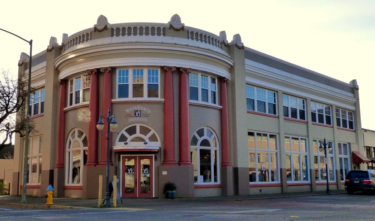
Photo: Wikipedia
Strategic Assessment of Coos County
Workable tactical position. Some exposure to population density or targets, but generally defensible in a crisis.
What does the Strategic Assessment tell us?
Our Strategic Assessment grades tactical survivability of an area. Major population centers, military targets, fallout zones, natural disasters, and border exposure all drive risk — lower exposure means a more defensible position in a crisis.
This is heavily inspired by Joel Skousen's Strategic Relocation book. Highly recommended you checkout the book ($)What does this tell us?
Our Strategic Assessment grades tactical survivability of an area. Major population centers, military targets, fallout zones, natural disasters, and border exposure all drive risk — lower exposure means a more defensible position in a crisis.
This is heavily inspired by Joel Skousen's Strategic Relocation book. Highly recommended you checkout the book ($)Strategic Pillars

Key Distances
Strategic Assessment Analysis
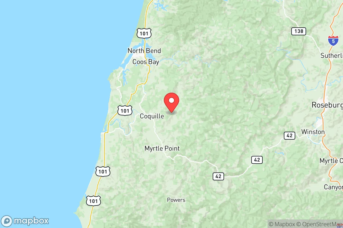
Coos County, Oregon, offers a compelling strategic position for those prioritizing resilience and self-sufficiency, anchored by its remote coastal location and the small city of Coos Bay as its economic hub. The area’s distance from major metropolitan centers like Portland (roughly 180 miles north) and Eugene (120 miles east) provides a natural buffer against the cascading failures that can affect dense urban populations. Its position on the southern Oregon coast, flanked by the Pacific Ocean to the west and the Coast Range mountains to the east, creates a distinct geographic pocket that is both isolated and resource-rich, making it a serious consideration for relocators focused on long-term preparedness.
Geographic position and natural advantages for long-term security
Coos County’s primary strategic asset is its location within the Coos Bay estuary, the largest deep-draft port between San Francisco and the Columbia River. This port, centered on the city of Coos Bay and the neighboring town of North Bend, provides direct access to Pacific shipping lanes and serves as a critical lifeline for resupply and trade in any disruption scenario. The surrounding terrain—dense temperate rainforests, the rugged Coast Range, and the expansive Oregon Dunes National Recreation Area to the south—offers significant natural defensibility. The county is bounded by the Siuslaw National Forest to the north and the Rogue River-Siskiyou National Forest to the south, creating a vast, sparsely populated buffer zone. The small towns of Bandon and Reedsport serve as additional outposts, each with their own local resources and access points, further distributing the population and reducing single-point-of-failure risks. The region’s abundant rainfall (averaging 60-80 inches annually) and moderate climate support year-round agriculture and forestry, reducing dependence on external food and timber supplies.
Natural disaster risks and exposure to fallout-relevant landmarks
The most significant risk for Coos County is its exposure to a Cascadia Subduction Zone earthquake and subsequent tsunami, a well-documented threat that could devastate low-lying coastal areas within minutes. The cities of Coos Bay, North Bend, and Bandon all have zones that would be inundated, though higher ground is accessible within a short drive inland. The county’s location also places it far from the primary fallout-relevant landmarks that concern many preparedness-minded relocators. There are no nuclear power plants, major military bases, or large-scale petrochemical refineries within Coos County. The nearest significant military installation is the Oregon Army National Guard’s Camp Rilea near Warrenton, roughly 100 miles north. The nearest major population centers that could be targets in a conflict—Portland, Seattle, or San Francisco—are all over 150 miles away, dramatically reducing the risk of radioactive fallout or secondary effects from urban collapse. The primary man-made risk comes from the port itself: a major shipping accident or industrial fire at the Port of Coos Bay’s bulk terminals could create localized hazards, but these are contained and manageable compared to the risks of living near a major refinery corridor or military target.
Practical resilience for a relocator: food, water, energy, and defensibility
Coos County offers strong practical resilience for those willing to adapt to its wet, forested environment. Water is abundant: the county sits atop significant groundwater aquifers, and the numerous rivers—including the Coos, Coquille, and Umpqua—provide reliable surface water sources, though treatment is necessary for drinking. Food security is viable through a combination of coastal fishing (Dungeness crab, salmon, and groundfish), small-scale agriculture in the fertile river valleys, and foraging from the extensive public forests. The county has a growing local food movement, with farmers markets in Coos Bay and Bandon, but year-round growing requires hoop houses or greenhouses due to the cool, cloudy summers. Energy resilience is a mixed picture: the region is connected to the Pacific Northwest grid, which is hydro-dominated and relatively stable, but a major earthquake could sever transmission lines. Off-grid solar is less effective here than in sunnier regions due to frequent overcast conditions, making micro-hydro from the area’s many creeks or a backup generator a more practical choice. Defensibility is high: the limited road access—primarily Highway 101 running north-south and Highway 42 connecting to Interstate 5—creates natural chokepoints. The dense forest and rugged terrain make the interior difficult to traverse, and the small, dispersed population (roughly 64,000 people across 1,800 square miles) means that community-scale security is more about mutual aid than large-scale confrontation.
Overall, Coos County presents a strong strategic picture for the relocator who values geographic isolation, abundant natural resources, and distance from high-risk urban and industrial targets. The trade-offs are real: the constant dampness, the very real tsunami risk to coastal communities, and the economic challenges of a region that has never fully recovered from the decline of its timber industry. For the single individual or family willing to settle inland from the immediate coast—in areas like the Coquille Valley or the hills above Coos Bay—the combination of water security, food access, and natural defensibility is hard to beat in the lower 48. The county is not a prepper fantasy; it is a working-class coastal region with real infrastructure vulnerabilities and a need for self-reliance. But for those who take the time to understand its specific risks and prepare accordingly, it offers a legitimate foundation for long-term resilience.

* Values derived from national, state, county, city and local statistics and may differ in a specific area. Last updated: 2026-06-16T23:33:58.000Z
Narrative content on this page is AI-generated and may contain mistakes. Verify any details that matter before acting on them.
ReloMaps may earn a commission from affiliate links at no extra cost to you.

