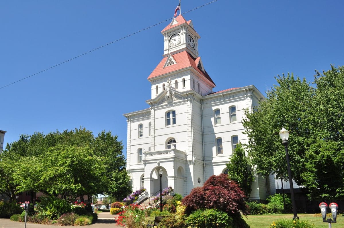
Photo: Wikipedia
Strategic Assessment of Benton County
Workable tactical position. Some exposure to population density or targets, but generally defensible in a crisis.
What does the Strategic Assessment tell us?
Our Strategic Assessment grades tactical survivability of an area. Major population centers, military targets, fallout zones, natural disasters, and border exposure all drive risk — lower exposure means a more defensible position in a crisis.
This is heavily inspired by Joel Skousen's Strategic Relocation book. Highly recommended you checkout the book ($)What does this tell us?
Our Strategic Assessment grades tactical survivability of an area. Major population centers, military targets, fallout zones, natural disasters, and border exposure all drive risk — lower exposure means a more defensible position in a crisis.
This is heavily inspired by Joel Skousen's Strategic Relocation book. Highly recommended you checkout the book ($)Strategic Pillars

Key Distances
Strategic Assessment Analysis
Benton County, Oregon, sits in a sweet spot for a slightly conservative relocator prioritizing long-term stability, self-sufficiency, and strategic depth. Anchored by Corvallis and Philomath, this county blends the infrastructure of a mid-sized regional hub with the low density and agricultural resilience of a rural outpost, offering a distinct alternative to the stressed metros of the Willamette Valley. While not perfect, its combination of local food production, water abundance, and distance from the highest-risk national targets makes it a serious contender for anyone assessing relocation through a lens of disaster readiness and community autonomy.
Geographic position and natural advantages for long-term stability
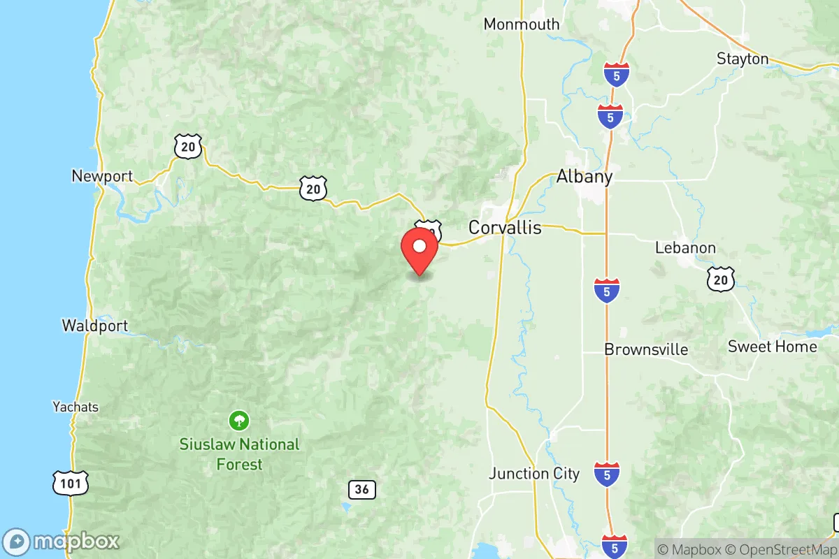
Benton County’s geography is its first and strongest argument. Bounded by the Coast Range to the west and the Willamette River to the east, the region benefits from natural barriers that encourage separation without isolation. The Coast Range acts as a physical and climatic buffer: it moderates Pacific storms, soaks up moisture, and keeps the county in a rain shadow relative to the immediate coastline, meaning more consistent weather and lower wildfire risk than the drier eastern half of Oregon. Major population centers like Portland and Salem are 90 miles and 35 miles away respectively, close enough for supply runs or medical transfers but far enough to escape the blast radius and chaos of a large urban target. Corvallis itself has a robust police force and a large hospital—Good Samaritan Regional Medical Center—which serves as a backup medical node for the entire mid-valley. Both Philomath and Monroe sit further from major highways, offering even greater separation from evacuation chokepoints. The soil in the valley is among the most productive in Oregon—farmland that was historically claimed by the Donation Land Claim Act for a reason. Long growing seasons, mild winters, and reliable precipitation mean that local food production isn’t a fringe hobby but a foundational economic activity. For the self-sufficient-minded, that’s a hard-to-replicate advantage.
Risks, exposures, and proximity to fallout-relevant landmarks
No location is without exposure, and Benton County has its share of strategic liabilities. The most immediate variable is the proximity of the Port of Portland and the associated industrial corridors running along the I-5 and I-205 arteries. Portland is a major Pacific Northwest port city, with container terminals, fuel depots, and high-value civil infrastructure (bridges, dams, data centers) that make it a tier-1 target in a conflict scenario. A detonation at Portland Harbor would place Benton County directly in a prevailing westerly or southwesterly fallout plume, depending on season. More quietly, the county also lies within striking distance of the U.S. Army’s Joint Base Lewis-McChord (JBLM) near Tacoma—roughly 160 miles north—and the numerous hydroelectric dams along the Columbia River, including the Bonneville Dam. While none of these guarantees a kinetic threat, they do increase the probability of cascade effects: grid instability after a strike, airspace restrictions, or refugee flows from the Portland and Salem metro areas (Salem’s state government buildings and Capitol are a secondary symbolic target). A more localized risk is the Corvallis Municipal Airport, a general aviation facility that could become a secondary target or a magnet for post-event airborne traffic. On the natural side, the county lies in the Cascadia subduction zone’s extended shadow. A major earthquake would not devastate Benton County like the coast, but it would cause ground shaking, liquefaction along the Willamette River floodplain (especially near Corvallis’s riverfront and the O.H. Hinsdale Mill site), and likely knock out gas and water lines. Landslides in the Coast Range foothills west of Philomath are a realistic secondary concern after seismic shaking. Fire risk is moderate—the west side of the county is lush and damp, but dry-season grass fires have been increasing, and the 2020 wildfires impacted air quality across the valley for weeks.
Practical resilience for a relocator: food, water, energy, and defensibility
This is where Benton County shines. Water is the single strongest resilience factor here. The county sits atop a massive aquifer system fed by the Willamette River and its tributaries—the Marys River, Luckiamute River, and Alsea River all run through or near populated areas. Private wells are common in unincorporated areas and small towns like Monroe and Alsea, and even Corvallis has multiple municipal water intake points, reducing single-point-of-failure risk. Rainwater catchment is viable for up to nine months of the year. On the food front, the county is a working agricultural zone. Over 300 farms operate within the county, producing grass seed, hazelnuts, berries, wine grapes, hay, and livestock. Farmers markets operate year-round in Corvallis and Philomath, and community-supported agriculture (CSA) shares are abundant. A relocator accustomed to buying 90 percent of their calories from a store can shift to 40-50 percent from local sources within a season. The Oregon State University (OSU) campus in Corvallis also houses an extensive agricultural extension network and a college of forestry, providing a knowledge base that a prepared community can lean into. Energy resilience is adequate but not outstanding. The region is served by Pacific Power, with transmission lines crossing the Coast Range and running along I-5. Local substations near Corvallis and Philomath are hard to disguise but are hardened by modern standards. Solar potential is moderate—the valley gets about 60 sunny days per year, meaning rooftop solar requires battery storage and backup generation (natural gas or propane) for the long winter overcast. Wood heating is common in rural areas, but air quality regulations during inversions can limit burning. Defensibility varies by zip code. Corvallis is a conventional small city with open street grids, making it difficult to seal off in a short-term crisis. Philomath, with its smaller footprint and surrounding hills, is somewhat more defendable. The unincorporated areas west of Highway 99W, along Greenberry Road and into the Alsea River valley, offer genuine rural isolation with single-access gravel roads—a double-edged sword for escape but a clear advantage for those who intend to stay put. The Benton County Sheriff’s Office (BCSO) runs a well-regarded emergency management division that coordinates with OSU and local fire districts, providing a baseline of organized response that many rural counties lack.
Taking the full strategic picture, Benton County is a strong candidate for a conservative relocator who wants a balance of infrastructure and wildness, community and privacy, capability and calm. It avoids the extreme risk of the Portland metro or the coast while retaining access to high-level resources—a top-tier hospital, a land-grant university acting as a knowledge hub, and a working agricultural base that can be self-sustaining. The main vulnerabilities are its position in the Willamette Valley’s economic corridor, which ties it to the fate of Portland and Salem, and its exposure to Cascadia earthquake effects. For the relocator who prioritizes water security, mild climate, and a county government with a functioning emergency plan, Benton County is one of the better trade-offs in the Pacific Northwest. It is not a bunker, but it is a base—a place to ride out the next decade with a lower risk of total disruption than virtually any suburban or urban alternative in the region.

* Values derived from national, state, county, city and local statistics and may differ in a specific area. Last updated: 2026-06-23T04:29:23.000Z
Narrative content on this page is AI-generated and may contain mistakes. Verify any details that matter before acting on them.
ReloMaps may earn a commission from affiliate links at no extra cost to you.

