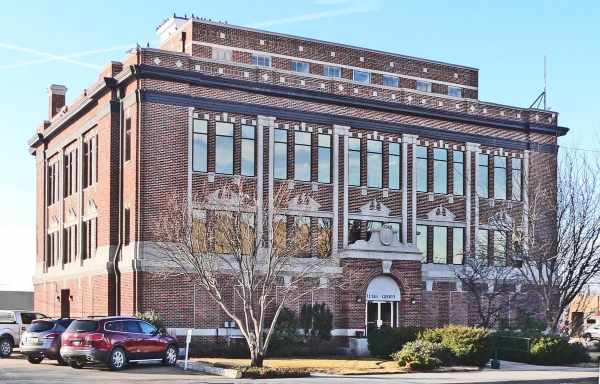
Photo: Wikipedia
Strategic Assessment of Texas County
Strong survivability profile. Good buffer from population centers, with manageable environmental and tactical risks.
What does the Strategic Assessment tell us?
Our Strategic Assessment grades tactical survivability of an area. Major population centers, military targets, fallout zones, natural disasters, and border exposure all drive risk — lower exposure means a more defensible position in a crisis.
This is heavily inspired by Joel Skousen's Strategic Relocation book. Highly recommended you checkout the book ($)What does this tell us?
Our Strategic Assessment grades tactical survivability of an area. Major population centers, military targets, fallout zones, natural disasters, and border exposure all drive risk — lower exposure means a more defensible position in a crisis.
This is heavily inspired by Joel Skousen's Strategic Relocation book. Highly recommended you checkout the book ($)Strategic Pillars

Key Distances
Strategic Assessment Analysis
Texas County, Oklahoma, occupies a strategic position in the far western Oklahoma Panhandle, offering a blend of geographic isolation and practical resilience that appeals to relocation-minded individuals and families with a conservative, self-reliant outlook. Its location near the tri-state junction of Oklahoma, Kansas, and Colorado places it well outside the major population corridors and industrial fallout zones of the central and eastern United States, while still providing access to essential infrastructure and regional supply routes. The county’s low population density—roughly 20,000 residents spread across 2,000 square miles—and its agricultural economy create a baseline of self-sufficiency that is increasingly rare in modern America. For those prioritizing disaster readiness, Texas County presents a compelling case, though it is not without its own vulnerabilities.
Geographic position and natural advantages for long-term stability
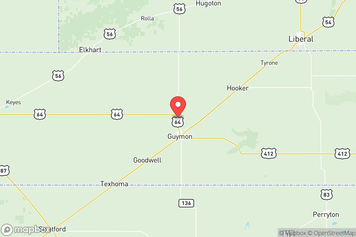
Texas County sits at the western edge of the Oklahoma Panhandle, bordered by Kansas to the north and Texas to the south and west. The county seat, Guymon, serves as the economic and logistical hub, with a population of about 12,000. The area’s defining geographic feature is the High Plains, a flat to gently rolling terrain that offers excellent visibility and defensibility—there are few natural choke points or concealment zones for potential threats. The climate is semi-arid, with average annual precipitation around 18 inches, which reduces the risk of flooding compared to eastern Oklahoma. The county’s position also places it roughly 150 miles from the nearest major metropolitan area (Amarillo, Texas), and over 300 miles from larger cities like Oklahoma City or Denver. This distance from high-density population centers is a significant advantage for those concerned about fallout from industrial accidents, terrorist attacks, or societal disruption. The Cimarron River runs through the southern part of the county, providing a natural water source, though it is intermittent in many stretches. The Ogallala Aquifer lies beneath much of the county, offering a deep groundwater reserve that is critical for agriculture and long-term water security. The area’s elevation—around 3,000 feet—also means cooler summers and less humidity than the rest of Oklahoma, which can reduce heat-related health risks during prolonged power outages.
Risks, exposures, and proximity to fallout-relevant landmarks
While Texas County’s isolation is a strength, it is not immune to risks. The primary natural hazard is severe weather, particularly tornadoes and straight-line winds. The Panhandle sits on the western edge of Tornado Alley, and while the frequency of violent tornadoes is lower than in central Oklahoma, the area still sees occasional supercell thunderstorms. The flat terrain means storms can develop rapidly with little warning, though the sparse population reduces the chance of catastrophic damage. Wildfire risk is moderate, especially during dry, windy periods in late winter and early spring. The county’s agricultural economy—dominated by cattle feedlots, corn, and wheat—means that a prolonged drought could disrupt local food production and strain water resources. On the man-made risk side, Texas County is far from the major industrial targets that would be primary in a conflict scenario. The nearest significant military installation is Fort Sill near Lawton, Oklahoma, about 250 miles southeast. The Pantex Plant near Amarillo, Texas, which assembles and disassembles nuclear weapons, is roughly 150 miles southwest—close enough to be a concern for fallout in a worst-case scenario, but far enough that prevailing winds (typically from the south-southwest) would carry any contamination away from Texas County. The Houston refinery corridor is over 500 miles southeast, and the Dallas-Fort Worth metroplex is about 350 miles east. No major nuclear power plants are within 200 miles. The county’s distance from these high-value targets is a net positive, but the Pantex Plant remains the most notable nearby landmark that a strategic assessor should monitor.
Practical resilience for a relocator: food, water, energy, and defensibility
For a family or individual serious about self-sufficiency, Texas County offers several practical advantages. Food security is strong: the county is one of the top cattle-feeding regions in the United States, with feedlots in and around Guymon, Hooker, and Goodwell producing millions of head annually. Local grain elevators store wheat and corn, and the area has a robust network of farm supply stores. Small-scale gardening is feasible with irrigation, though the semi-arid climate requires careful water management. Water security is the county’s most critical resource. The Ogallala Aquifer provides a reliable groundwater source, but it is a finite, non-renewable resource in many parts of the High Plains. Wells in Texas County typically produce 500–1,000 gallons per minute, but the aquifer’s depth (200–400 feet) means drilling a new well is expensive—expect $15,000–$30,000 for a residential well. Municipal water in Guymon is treated and reliable, but rural residents should plan for backup storage and filtration. Energy security is moderate. The county is served by the Western Farmers Electric Cooperative, which draws from a mix of natural gas, wind, and coal. Wind farms are common in the Panhandle, and a small-scale solar installation can provide meaningful backup for a home. Natural gas is widely available in towns, and propane is common in rural areas. Defensibility is a mixed picture. The flat terrain offers clear sightlines, which is good for situational awareness, but it also means that a determined group could approach from any direction without natural obstacles. The low population density means that a small, well-prepared community could effectively control its immediate area, but there are few defensible terrain features like hills or forests. The county’s strong gun culture—Oklahoma has constitutional carry and a robust firearms community—means that many residents are already armed and trained, which is a practical advantage for community defense. The Texas County Sheriff’s Office in Guymon is the primary law enforcement agency, with a small but professional force. Response times in rural areas can be 20–30 minutes or more, so self-reliance is essential.
Overall, Texas County presents a balanced strategic picture for the relocation-minded reader. Its isolation from major population centers and industrial targets is a genuine asset, and its agricultural base provides a foundation for food and water security that many other regions lack. The risks—severe weather, aquifer depletion, and the distant but real proximity to the Pantex Plant—are manageable with proper planning. The county’s conservative, self-reliant culture aligns well with the values of a preparedness-oriented audience, and the relatively low cost of land (rural acreage can be found for $1,000–$2,000 per acre) makes it accessible for those looking to establish a homestead. For a family or individual willing to invest in water infrastructure, renewable energy, and community ties, Texas County offers a defensible, resilient base of operations in the heart of the American High Plains. It is not a perfect refuge—no place is—but it is a solid, practical choice for those who prioritize long-term stability over convenience.

* Values derived from national, state, county, city and local statistics and may differ in a specific area. Last updated: 2026-07-10T06:30:27.000Z
Narrative content on this page is AI-generated and may contain mistakes. Verify any details that matter before acting on them.
ReloMaps may earn a commission from affiliate links at no extra cost to you.

