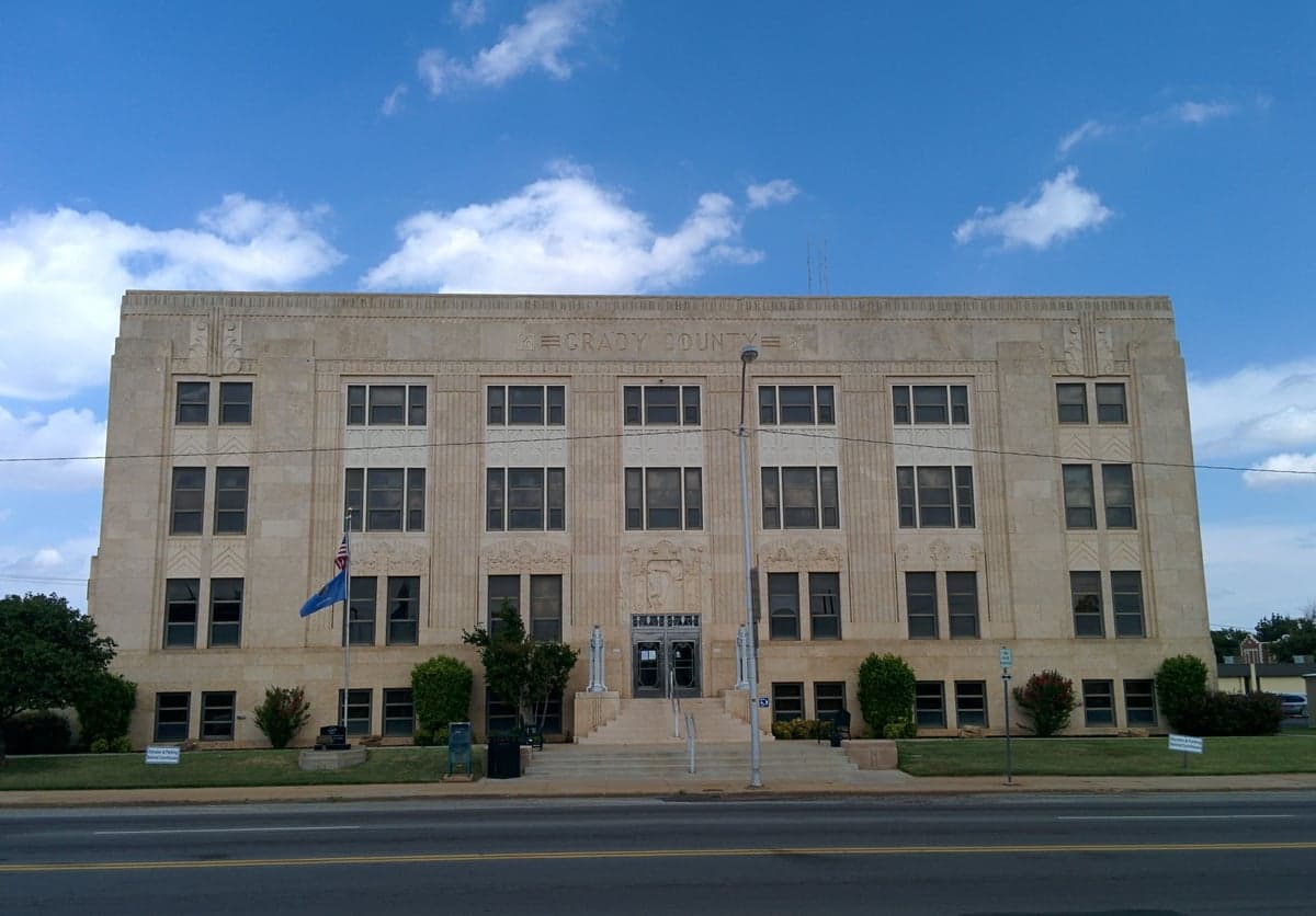
Photo: Wikipedia
Strategic Assessment of Grady County
Workable tactical position. Some exposure to population density or targets, but generally defensible in a crisis.
What does the Strategic Assessment tell us?
Our Strategic Assessment grades tactical survivability of an area. Major population centers, military targets, fallout zones, natural disasters, and border exposure all drive risk — lower exposure means a more defensible position in a crisis.
This is heavily inspired by Joel Skousen's Strategic Relocation book. Highly recommended you checkout the book ($)What does this tell us?
Our Strategic Assessment grades tactical survivability of an area. Major population centers, military targets, fallout zones, natural disasters, and border exposure all drive risk — lower exposure means a more defensible position in a crisis.
This is heavily inspired by Joel Skousen's Strategic Relocation book. Highly recommended you checkout the book ($)Strategic Pillars

Key Distances
Strategic Assessment Analysis
Grady County, Oklahoma, occupies a strategic middle ground that appeals to relocation-minded readers prioritizing resilience and self-sufficiency: close enough to Oklahoma City for access to jobs and infrastructure, yet far enough to avoid the concentrated risks of a major metro area. The county’s position along the I-44 corridor, with the towns of Chickasha, Tuttle, and Minco as anchors, offers a blend of agricultural land, modest population density, and proximity to key regional assets like Fort Sill (about 40 miles southwest) and the Oklahoma City metro’s industrial base. For a conservative-leaning audience weighing disaster readiness and long-term stability, Grady County presents a defensible, resource-rich option that balances isolation with practical connectivity.
Geographic position and natural advantages for long-term stability
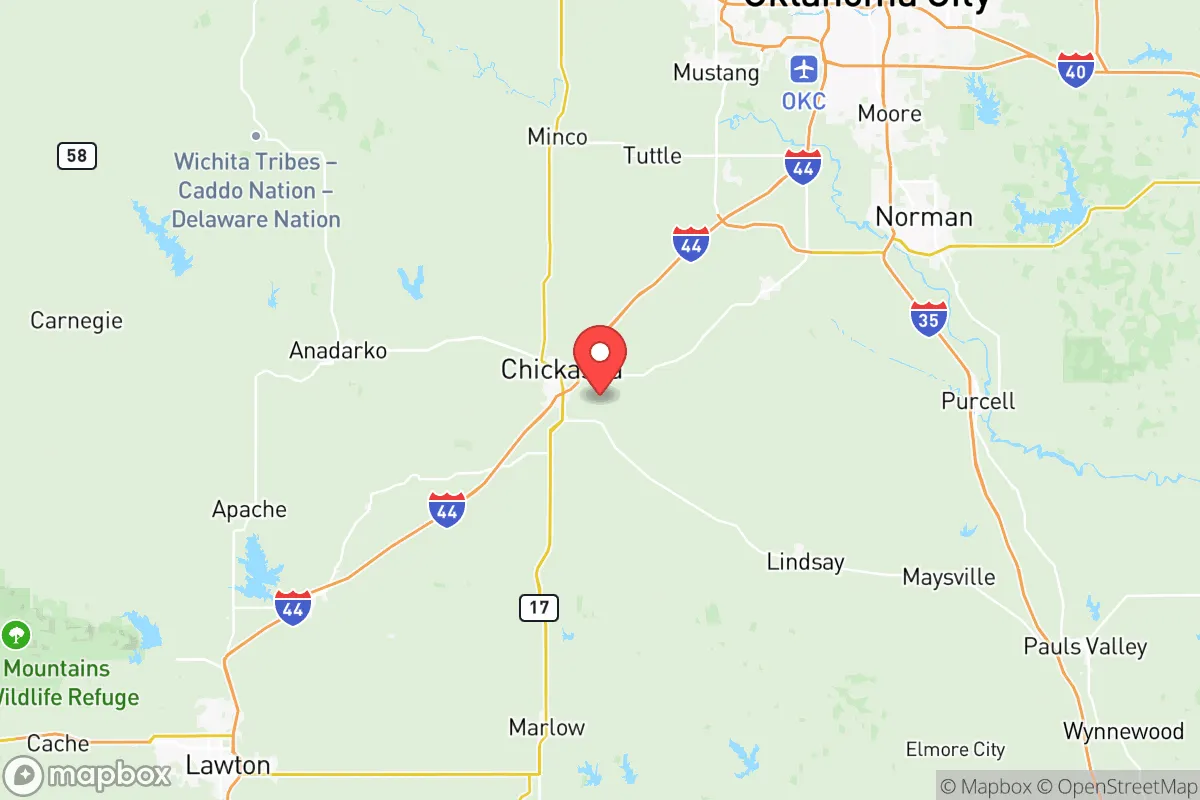
Grady County sits in central Oklahoma’s rolling plains, a landscape that provides natural drainage and reduces flood risk compared to river-bottom counties. The Washita River runs through the southern part of the county, and the Canadian River forms part of the northern boundary, offering reliable surface water sources for irrigation and livestock. The area’s elevation—roughly 1,000 to 1,300 feet above sea level—keeps it above the worst of tornado alley’s low-lying flood zones, though severe weather remains a seasonal reality. Chickasha, the county seat, anchors the western half with a population around 16,000, while Tuttle (roughly 7,500 residents) and Minco (about 1,500) offer smaller, tight-knit communities with lower housing costs and more acreage per dollar. The county’s position along the I-44 and US-81 corridors means residents can reach Oklahoma City’s hospitals, supply chains, and federal facilities within 45 minutes, while still enjoying a rural buffer that complicates any large-scale disruption’s spread.
Risk exposure, natural hazards, and proximity to fallout-relevant landmarks
Grady County’s primary natural risks are tornadoes and severe thunderstorms, which occur regularly from March through June. The county sits in the heart of Tornado Alley, and while modern warning systems and storm shelters are common, a direct hit can level structures. Wildfire risk is moderate, concentrated in dry summer months, and the area’s agricultural land means controlled burns are a routine hazard. On the man-made risk side, the county’s proximity to Fort Sill (an active Army base with artillery and missile training) and Tinker Air Force Base (about 50 miles northeast) introduces a low but real exposure to military-adjacent incidents. The Oklahoma City refinery corridor along I-35, including the Cushing crude oil hub (roughly 80 miles north), is a potential secondary target in a conflict scenario, though Grady County’s position west of I-35 places it outside the most likely fallout plumes from those sites. The county itself hosts no major refineries, nuclear plants, or chemical storage facilities, which reduces its attractiveness as a primary target. For a relocator weighing worst-case scenarios, Grady County’s distance from the nation’s highest-value strategic assets—like the Strategic Petroleum Reserve in Louisiana or the Houston Ship Channel—is a net positive.
Practical resilience for a relocator: food, water, energy, and defensibility
Grady County’s agricultural base is its strongest resilience asset. The county produces wheat, cattle, hay, and pecans, with local farmers’ markets and co-ops in Chickasha and Tuttle providing direct-to-consumer food access. The Washita River and Canadian River aquifers offer reliable groundwater, and many rural properties have existing wells—a critical advantage over suburban subdivisions reliant on municipal systems. Energy resilience is solid: the region is served by multiple electrical cooperatives (including Rural Electric Cooperative), and natural gas is widely available for heating and backup generation. Solar potential is good, with roughly 220 sunny days per year, and many landowners already use off-grid systems for barns and workshops. Defensibility is a mixed picture: the county’s open terrain offers long sightlines but limited natural cover, meaning a determined group could be spotted from a distance. However, the low population density—about 40 people per square mile—means fewer potential threats and more space to establish a secure perimeter. The Chickasha Municipal Airport and the nearby Will Rogers World Airport in Oklahoma City provide evacuation or supply routes by air, while the county’s network of state highways and county roads offers multiple egress options in any direction.
Overall, Grady County represents a balanced strategic choice for a relocator who wants to be within striking distance of a major metro’s resources without living inside its risk footprint. The county’s agricultural self-sufficiency, water access, and low target profile offset its exposure to tornadoes and military-adjacent hazards. For a family or individual willing to invest in storm shelters, backup power, and a well, Grady County offers a defensible, resource-rich base that can sustain itself through most disruptions. The key trade-off is distance: you trade the convenience of urban life for the security of space, and that trade is likely worth it for the audience this analysis serves.

* Values derived from national, state, county, city and local statistics and may differ in a specific area. Last updated: 2026-06-27T01:05:13.000Z
Narrative content on this page is AI-generated and may contain mistakes. Verify any details that matter before acting on them.
ReloMaps may earn a commission from affiliate links at no extra cost to you.

