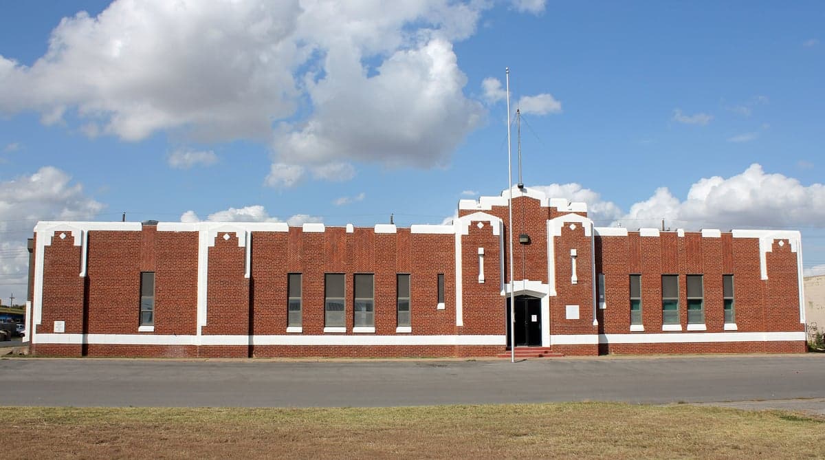
Photo: Wikipedia
Strategic Assessment of Custer County
Strong survivability profile. Good buffer from population centers, with manageable environmental and tactical risks.
What does the Strategic Assessment tell us?
Our Strategic Assessment grades tactical survivability of an area. Major population centers, military targets, fallout zones, natural disasters, and border exposure all drive risk — lower exposure means a more defensible position in a crisis.
This is heavily inspired by Joel Skousen's Strategic Relocation book. Highly recommended you checkout the book ($)What does this tell us?
Our Strategic Assessment grades tactical survivability of an area. Major population centers, military targets, fallout zones, natural disasters, and border exposure all drive risk — lower exposure means a more defensible position in a crisis.
This is heavily inspired by Joel Skousen's Strategic Relocation book. Highly recommended you checkout the book ($)Strategic Pillars

Key Distances
Strategic Assessment Analysis
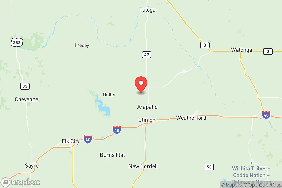
Custer County, Oklahoma, offers a compelling strategic profile for relocators prioritizing resilience and self-sufficiency, combining a low population density with a central location that buffers against many of the risks associated with coastal or metropolitan living. The county seat of Arapaho and the larger town of Clinton anchor a region that sits well outside the immediate fallout zones of major strategic targets, yet remains within a practical distance of essential supply routes and medical infrastructure in cities like Oklahoma City, roughly 90 miles east. This positioning provides a rare balance: isolation from the highest-risk corridors while maintaining access to the logistical backbone of the central plains.
Geographic position and natural advantages for long-term stability
Custer County's location in western Oklahoma places it in a region characterized by open plains, rolling hills, and the Washita River watershed, which offers a reliable surface water source. The area is distant from major ports, refineries, and military installations that would be primary targets in a conflict scenario — for example, Tinker Air Force Base near Oklahoma City and the refinery complex in Ponca City are both over 80 miles away, significantly reducing the risk of direct blast effects or fallout plumes. The county's position in the Southern Plains also means it is less prone to seismic activity than the West Coast and less vulnerable to hurricane storm surge than Gulf Coast communities. The local topography, including the rugged breaks along the Washita River, provides natural defensibility and microclimates that support varied agriculture, from wheat and cattle to hay production.
Risks, exposures, and proximity to fallout-relevant landmarks
While Custer County benefits from distance to high-value targets, it is not entirely free of risk. Clinton-Sherman Airpark, a former Air Force base near Burns Flat, is a potential secondary target due to its current use as a spaceport and industrial park, though its strategic value is lower than active military bases. The county lies within the Tornado Alley corridor, with peak severe weather season from April through June, and the region's reliance on groundwater from the Ogallala Aquifer introduces long-term vulnerability to drought and aquifer depletion. Additionally, Interstate 40 runs directly through Clinton, creating a double-edged dynamic: it provides excellent logistics and evacuation routes, but also makes the area a potential chokepoint or migration corridor during a crisis. Fallout risk from a strike on Oklahoma City would be minimal under prevailing westerly winds, but a shift to easterly flow could carry contamination toward the county, a scenario that underscores the need for a well-stocked shelter and situational awareness.
Practical resilience for a relocator: food, water, energy, and defensibility
For a relocator serious about self-sufficiency, Custer County offers strong fundamentals. The agricultural base is robust, with local producers in the Clinton and Arapaho areas supplying wheat, cattle, and poultry, and the Washita River providing a surface water source that can be supplemented by rainwater catchment. The county's rural character means that many properties already have private wells and septic systems, reducing dependence on municipal infrastructure. Energy resilience is supported by the region's wind resources and the presence of natural gas infrastructure, though off-grid solar remains a practical option given the area's high average sunlight hours. Defensibility is enhanced by the low population density — roughly 12 people per square mile — and the availability of remote acreage with good sightlines and limited access points. The Custer County Sheriff's Office and local emergency services maintain a visible presence, but relocators should plan to be self-reliant for at least the first 72 hours to two weeks, as rural response times can be extended during widespread events.
The overall strategic picture for Custer County is one of balanced resilience: it avoids the extreme risks of coastal and metropolitan areas while retaining practical access to supply chains and medical care. The county's combination of agricultural capacity, water resources, and low population density makes it a strong candidate for relocators who prioritize long-term stability over immediate convenience. However, the region's exposure to severe weather and its position along a major interstate require proactive planning, particularly around shelter, water storage, and community networking. For a family or individual willing to invest in those preparations, Custer County represents a defensible, resource-rich base of operations in the central United States.

* Values derived from national, state, county, city and local statistics and may differ in a specific area. Last updated: 2026-07-26T06:22:10.000Z
Narrative content on this page is AI-generated and may contain mistakes. Verify any details that matter before acting on them.
ReloMaps may earn a commission from affiliate links at no extra cost to you.

