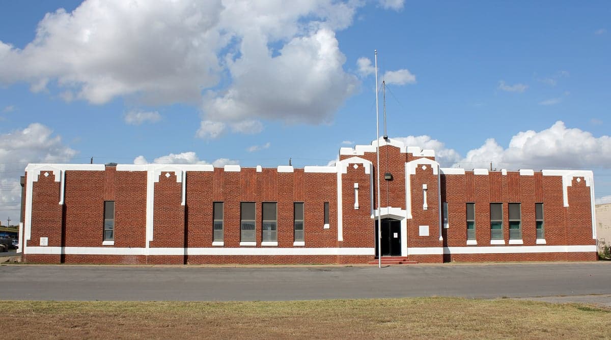
Photo: Wikipedia
Demographics of Custer County
Affluence Level in Custer County
A below-average socioeconomic profile. Incomes, home values, and educational attainment trail the U.S., with higher poverty and unemployment.
People of Custer County
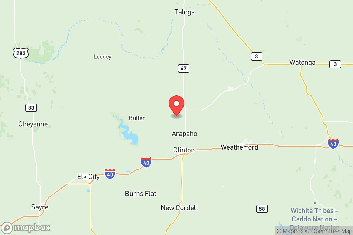
Custer County, Oklahoma, is home to 28,332 residents, a population shaped by a layered history of Native American displacement, land runs, and agricultural settlement. The county today is predominantly white (66.3%) with a significant Hispanic minority (19.5%), a small Black population (2.6%), and minimal Asian (0.7%) and Indian (0.2%) communities. Its character is rural and small-town, anchored by the county seat of Arapaho and the largest city, Weatherford, with a distinctive identity rooted in the Dust Bowl era and a strong Southwestern Oklahoma cultural identity.
Settlement & growth (pre-1960)
Before American settlement, the area that is now Custer County was part of the traditional lands of the Plains Apache and later the Comanche and Kiowa nations. The region was included in the vast territory ceded by the Choctaw and Chickasaw nations in the 1830s, but it remained largely unoccupied by European Americans until after the Civil War. The 1867 Medicine Lodge Treaty assigned the area to the Cheyenne and Arapaho tribes, who were forcibly relocated to a reservation that included present-day Custer County. The Cheyenne and Arapaho Agency was established near the future site of Colony, and the tribes maintained a presence until the reservation was broken up by the Dawes Act in the 1890s.
The first major wave of American settlement came with the Cheyenne-Arapaho Opening of 1892, a land run that threw open 4.3 million acres to non-Native homesteaders. This event drew primarily white settlers from the Midwest and Upper South—farmers from Kansas, Missouri, and Illinois seeking cheap land. The town of Arapaho was founded in 1892 as the county seat, named after the Arapaho tribe. Weatherford, established the same year, quickly grew as a railroad town on the Choctaw, Oklahoma and Gulf Railroad, becoming the county's commercial hub. Other settlements from this era include Butler, Thomas, and Clinton (the latter now in neighboring Washita County but historically tied to Custer County's trade networks). These towns were overwhelmingly white, with a small number of Black homesteaders who established communities like Fay and Hammon.
The Dust Bowl of the 1930s hit Custer County hard, as the region's wheat-based agriculture was devastated by drought and wind erosion. The population, which had peaked at around 25,000 in 1930, declined as many families joined the Okie exodus to California. Those who remained diversified into cattle ranching and dryland farming. The discovery of oil and gas in the 1940s and 1950s brought a modest economic boost, particularly around Weatherford and Clinton, but the county's population remained stable at roughly 20,000 through the 1950s. The construction of Interstate 40 in the 1960s, which runs through the southern part of the county, began to shift the population center toward the highway corridor.
Modern era (post-1965)
The post-1965 period brought two major demographic shifts to Custer County: the growth of the Hispanic population and the expansion of Weatherford as a regional education and healthcare center. The Hart-Cellar Act of 1965 had a delayed but significant impact, as agricultural labor demands in the 1970s and 1980s drew Mexican and Central American immigrants to the county's dairy farms, feedlots, and meatpacking plants. Weatherford and Clinton became the primary destinations, with Hispanic residents now making up 19.5% of the county's population—a share that has grown steadily from under 5% in 1990. The Hispanic community is predominantly Mexican-American, with smaller numbers from Guatemala and El Salvador, and is concentrated in the southern part of Weatherford and in mobile home parks along the I-40 corridor.
Domestic migration has been more modest. The county has not experienced the explosive Sun Belt growth seen in Texas or Arizona, but it has attracted retirees and remote workers drawn to its low cost of living and proximity to Oklahoma City (about 90 miles east). The Black population remains small at 2.6%, concentrated in Fay and Hammon, where descendants of the original Black homesteaders still live. The Asian population (0.7%) is primarily Vietnamese and Filipino, associated with the University of Oklahoma's Weatherford campus and the Southwestern Oklahoma State University (SWOSU) medical programs. The Indian population (0.2%) is negligible, mostly professionals at SWOSU or the Weatherford Regional Hospital.
Suburbanization has been limited. Weatherford has grown from 10,000 in 1990 to roughly 12,000 today, with new subdivisions spreading north of the I-40 corridor. Arapaho has remained a small county seat of under 1,000, while Butler and Thomas have lost population as young people leave for larger cities. The county's foreign-born population is just 3.1%, well below the national average, reflecting its limited appeal to international immigrants outside of the Hispanic agricultural workforce.
The future
Custer County is becoming slightly more diverse, but the pace is slow. The Hispanic share is projected to rise to 25-28% by 2040, driven by higher birth rates and continued agricultural labor demand. The white population is aging and declining in absolute numbers, as younger white residents move to Oklahoma City or Dallas for employment. The Black, Asian, and Indian populations are expected to remain small, with growth only if SWOSU expands its international student recruitment or if a major employer relocates to the area.
The county's cultural identity is evolving from a purely white, rural, conservative base to a more mixed one. Spanish-language signage is increasingly common in Weatherford, and the annual Fiesta de la Independencia celebration in September draws thousands. However, the county remains politically conservative—Custer County voted 80% for Donald Trump in 2020—and the Hispanic population is largely assimilated, with many families having lived in the area for two or three generations. The next 10-20 years will likely see continued slow growth, with Weatherford absorbing most new residents while the smaller towns continue to shrink. The county will remain a low-cost, family-oriented option for those seeking a rural lifestyle with access to a small city's amenities.
For someone moving in now, Custer County offers a stable, affordable, and safe environment with a strong sense of community, but with limited ethnic diversity and economic opportunity outside of agriculture, education, and healthcare. The population is becoming more Hispanic, but the county's overall character remains deeply rooted in its Dust Bowl and land-run heritage. It is a place where change comes slowly, and where the past is still visible in the small towns and the open plains.

* Values derived from national, state, county, city and local statistics and may differ in a specific area. Last updated: 2026-07-26T06:22:10.000Z
Narrative content on this page is AI-generated and may contain mistakes. Verify any details that matter before acting on them.
ReloMaps may earn a commission from affiliate links at no extra cost to you.

