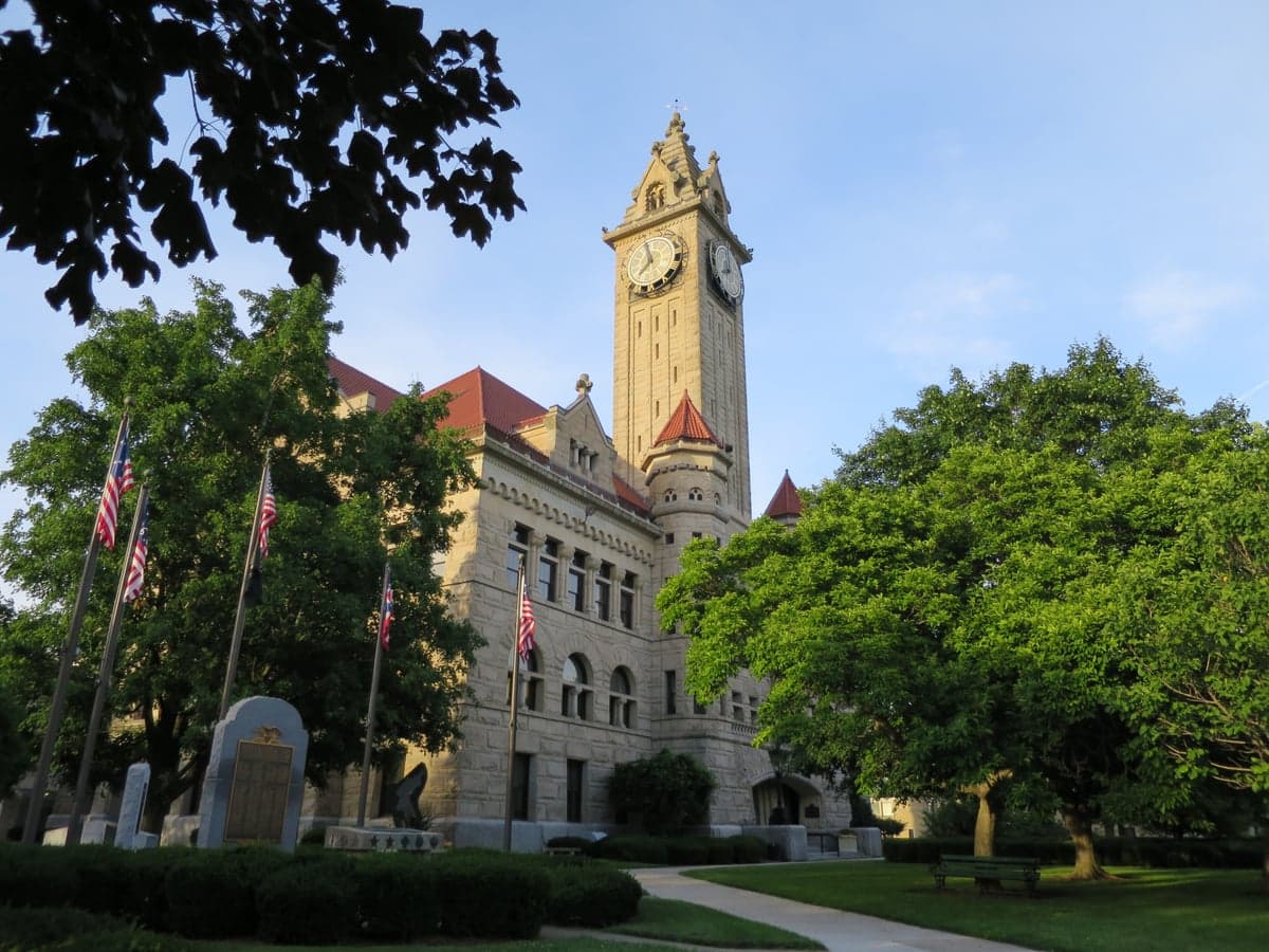
Photo: Wikipedia
Strategic Assessment of Wood County
Workable tactical position. Some exposure to population density or targets, but generally defensible in a crisis.
What does the Strategic Assessment tell us?
Our Strategic Assessment grades tactical survivability of an area. Major population centers, military targets, fallout zones, natural disasters, and border exposure all drive risk — lower exposure means a more defensible position in a crisis.
This is heavily inspired by Joel Skousen's Strategic Relocation book. Highly recommended you checkout the book ($)What does this tell us?
Our Strategic Assessment grades tactical survivability of an area. Major population centers, military targets, fallout zones, natural disasters, and border exposure all drive risk — lower exposure means a more defensible position in a crisis.
This is heavily inspired by Joel Skousen's Strategic Relocation book. Highly recommended you checkout the book ($)Strategic Pillars

Key Distances
Strategic Assessment Analysis
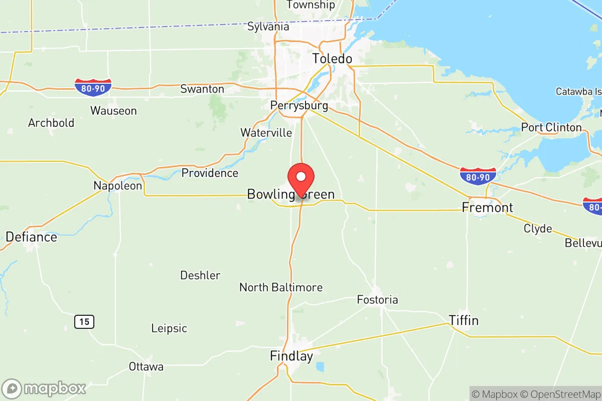
Wood County, Ohio, offers a compelling strategic position for relocators prioritizing resilience, combining the self-sufficiency potential of the rural Midwest with deliberate proximity to critical infrastructure. Located in the northwestern part of the state, the county sits roughly equidistant from Toledo to the north and the state capital of Columbus to the southeast, placing it outside the immediate blast and fallout zones of major metropolitan targets while still providing access to regional supply chains. The county’s landscape—flat, fertile, and crisscrossed by the Maumee River and its tributaries—supports a baseline of agricultural self-reliance that is rare in more suburbanized areas. For a family or individual thinking seriously about disaster readiness, Wood County represents a calculated trade-off: enough isolation to avoid the worst of urban collapse, yet close enough to leverage the logistical backbone of the Great Lakes region.
Geographic position and natural advantages for long-term stability
Wood County’s geography is its primary strategic asset. The county sits on the southern edge of the Great Lakes watershed, with the Maumee River—the largest river flowing into the Great Lakes—running through its heart. This river system provides a reliable surface water source, a critical factor for any long-term resilience plan. The terrain is predominantly flat, glaciated plains, which means no mountainous barriers to movement but also excellent soil for agriculture. The county seat, Bowling Green, and the largest city, Perrysburg, are both situated on elevated ground relative to the river floodplains, offering natural defensibility against both flooding and ground-level contamination. The area’s position in the “Corn Belt” means that even in a disrupted supply chain scenario, local food production capacity is high. The climate is temperate, with cold winters that naturally slow the spread of airborne pathogens and pests, and summers that support robust growing seasons. Unlike coastal or seismically active regions, Wood County faces no hurricane, earthquake, or tsunami risk, making it a stable long-term bet for those seeking to avoid natural catastrophe.
Risks, exposures, and proximity to fallout-relevant landmarks
No strategic assessment is complete without acknowledging the risks. Wood County’s primary exposure is man-made, stemming from its location within the industrial and energy corridor of northwest Ohio. The county is within 30 miles of the Davis-Besse Nuclear Power Station in neighboring Ottawa County, a facility that has experienced operational incidents in the past. While the plant is a potential target or accident source, the prevailing winds in the region generally carry fallout eastward, away from Wood County’s population centers. More immediate is the county’s proximity to the Toledo Refinery (the PBF Energy refinery in Oregon, Ohio, about 20 miles north of Perrysburg), which processes crude oil and could be a secondary target or a source of hazardous material release. The CSX and Norfolk Southern rail lines that cut through Bowling Green and Perrysburg carry hazardous materials daily, including anhydrous ammonia and chlorine, which are used in regional agriculture and water treatment. For a relocator, the key mitigation is distance: Wood County’s population is spread across small towns like Northwood, Rossford, and Walbridge, with no single dense urban core that would concentrate fallout or civil unrest. The county’s flat terrain also means that any airborne contamination disperses relatively quickly compared to mountainous regions. The risk is real but manageable with proper planning—unlike living directly adjacent to a major military base like Fort Hood or within the Houston refinery corridor.
Practical resilience for a relocator: food, water, energy, and defensibility
For the self-sufficient relocator, Wood County offers a strong baseline. Food security is the standout advantage: the county is among Ohio’s top producers of corn, soybeans, and wheat, with numerous small farms and farmers’ markets operating year-round in Bowling Green and Perrysburg. The Wood County Fairgrounds and local agricultural extension offices provide resources for learning small-scale farming and animal husbandry. Water security is excellent: the Maumee River provides a surface water source that can be treated with basic filtration, and the county’s glacial aquifer system means groundwater is accessible via wells at reasonable depths (typically 50–150 feet) across most of the county. Municipal water in Bowling Green and Perrysburg is treated and reliable, but for off-grid living, well drilling is a straightforward option. Energy resilience is mixed: the grid is served by Toledo Edison (FirstEnergy), which has a history of storm-related outages, but the county’s flat terrain makes solar panel installation efficient, and natural gas is widely available for backup generation. The Wood County Landfill near Bowling Green also generates methane for electricity, a niche but useful local resource. Defensibility is moderate: the county’s open farmland offers long sightlines, but the lack of natural chokepoints (hills, forests, rivers) means that perimeter security relies on community coordination. The Wood County Sheriff’s Office and local police departments in Bowling Green and Perrysburg are well-funded and have mutual aid agreements, but in a prolonged crisis, the dispersed population would need to rely on neighborhood watch and private preparedness. The presence of Bowling Green State University adds a potential resource for medical and technical expertise, but also a population surge during emergencies that could strain local supplies.
The overall strategic picture for Wood County is one of calculated stability. It is not a hardened bunker location, nor is it a remote wilderness retreat. Instead, it offers a middle path: a productive agricultural landscape with reliable water, manageable industrial risks, and a population density low enough to avoid the worst of urban collapse but high enough to maintain community infrastructure. For the relocator who wants to be within a day’s drive of major medical centers (Toledo and Ann Arbor are both under an hour away) while still having the land and resources to become largely self-sufficient, Wood County is a strong candidate. The key is to choose a location away from the rail lines and the immediate river floodplain—look to the rural townships like Middleton Township or Lake Township for a balance of access and isolation. The county’s resilience is not automatic; it requires active participation in local food systems, water preparedness, and community networks. But for those willing to put in the work, Wood County provides the geographic and resource foundation to weather most foreseeable disruptions.

* Values derived from national, state, county, city and local statistics and may differ in a specific area. Last updated: 2026-06-16T00:06:46.000Z
Narrative content on this page is AI-generated and may contain mistakes. Verify any details that matter before acting on them.
ReloMaps may earn a commission from affiliate links at no extra cost to you.

