
Photo: Wikipedia
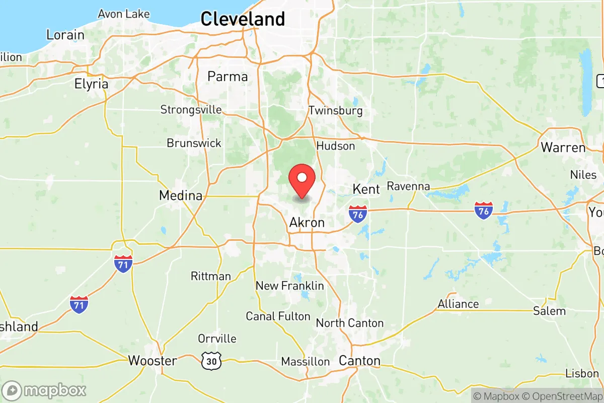
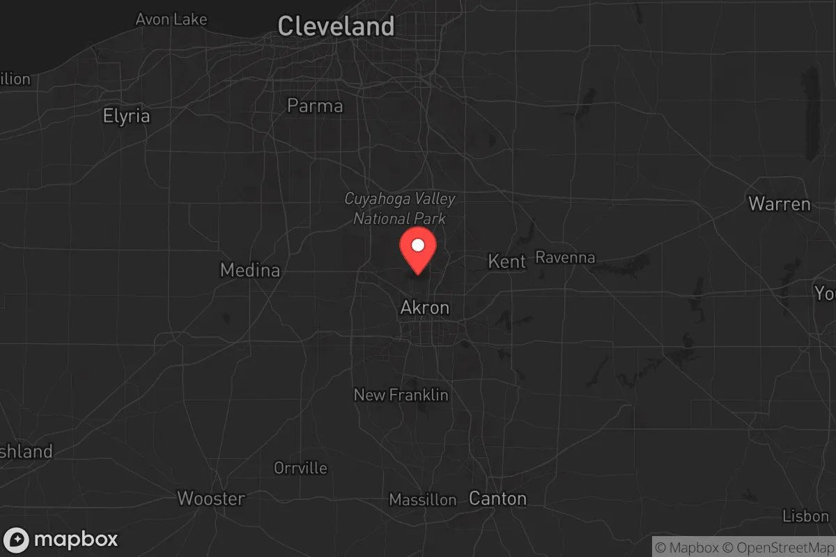
Strategic Assessment of Summit County
Meaningful friction. Expect exposure to either population pressure, blast zones, or natural disaster risk. Consider buying a retreat property.
What does the Strategic Assessment tell us?
Our Strategic Assessment grades tactical survivability of an area. Major population centers, military targets, fallout zones, natural disasters, and border exposure all drive risk — lower exposure means a more defensible position in a crisis.
This is heavily inspired by Joel Skousen's Strategic Relocation book. Highly recommended you checkout the book ($)What does this tell us?
Our Strategic Assessment grades tactical survivability of an area. Major population centers, military targets, fallout zones, natural disasters, and border exposure all drive risk — lower exposure means a more defensible position in a crisis.
This is heavily inspired by Joel Skousen's Strategic Relocation book. Highly recommended you checkout the book ($)Strategic Pillars

Key Distances
Strategic Assessment Analysis
Summit County, Ohio, offers a strategic blend of Midwestern stability and access to critical infrastructure that appeals to relocation-minded individuals and families with a conservative, preparedness-oriented outlook. Anchored by the city of Akron, the county sits at the crossroads of major transportation corridors while maintaining a distinct buffer from the densest urban and industrial fallout zones of the Great Lakes region. Its position within the glaciated Appalachian Plateau provides natural terrain advantages, and its historical role as a manufacturing and logistics hub means the local economy and supply chains are tested and resilient. For a relocator weighing disaster readiness, self-sufficiency, and long-term security, Summit County presents a nuanced but generally favorable strategic picture.
Geographic position and natural advantages for long-term security
Summit County's geography is defined by the Cuyahoga River Valley and the glaciated hills of the Appalachian Plateau, which together create a landscape of moderate elevation changes, forested ridges, and natural drainage basins. The county's highest points, near the village of Boston Heights and the Cuyahoga Valley National Park, rise to over 1,200 feet, offering elevated terrain that is less prone to flooding than the river bottoms. The Cuyahoga Valley itself acts as a natural corridor and partial barrier, with steep valley walls that could slow or channel movement in a crisis scenario. The county is roughly 35 miles south of Lake Erie, placing it outside the immediate lake-effect snow belt that can paralyze northern counties, yet close enough to access the lake as a freshwater resource. The region's bedrock geology—primarily sandstone and shale—supports stable groundwater aquifers, and the many tributaries of the Cuyahoga and Tuscarawas Rivers provide surface water redundancy. For a relocator, the key natural advantage is the combination of defensible terrain, reliable water sources, and a climate that supports four-season agriculture without the extremes of the Plains or the Gulf Coast.
Risk exposure and proximity to fallout-relevant landmarks
No strategic assessment is complete without acknowledging the risks. Summit County's primary man-made exposure comes from its industrial legacy and transportation infrastructure. The city of Akron is home to several chemical and polymer facilities, including the Goodyear Tire & Rubber Company headquarters and its research campus, which handle industrial chemicals and synthetic materials. The Akron-Canton Airport, located just south of the county line, is a regional cargo and passenger hub that could be a secondary target or a source of cascading disruption. The county is also bisected by Interstate 76 and Interstate 77, major freight corridors that connect to the broader Great Lakes and East Coast networks—useful for logistics but also potential vectors for hazardous material spills or targeted disruption. On the natural hazard side, tornado risk is moderate but real; Summit County lies within the eastern edge of Tornado Alley's reach, and the 1985 outbreak that struck Newton Falls and Niles is a reminder that severe weather can occur. Flooding along the Cuyahoga River and its tributaries is the most frequent natural hazard, particularly in low-lying areas of Akron, Cuyahoga Falls, and Barberton. However, the county's distance from major military installations, nuclear power plants (the nearest is Perry Nuclear Plant about 60 miles northeast), and the densest urban cores of Cleveland and Pittsburgh reduces its exposure to primary fallout targets. For a relocator, the risk profile is moderate—industrial and transportation hazards are present but manageable, and the county is not a high-priority target in a national security scenario.
Practical resilience for a relocator: food, water, energy, and defensibility
For a family or individual serious about self-sufficiency, Summit County offers several practical advantages. Water availability is strong: the county sits atop the Cuyahoga River and multiple groundwater aquifers, and the Summit County Department of Environmental Services operates a robust public water system. For those on private wells, the glacial till and sandstone aquifers generally yield adequate water at moderate depths, though testing for industrial contaminants near Akron is advisable. Food production potential is excellent for a county of its population density. The surrounding region includes rich agricultural land in Portage, Medina, and Wayne counties, and Summit County itself has a growing network of farmers' markets, community gardens, and CSAs. The Akron Farmers' Market and the Countryside Conservancy in the Cuyahoga Valley National Park support local food systems that could be scaled in a crisis. For energy resilience, the county's grid is served by FirstEnergy and Ohio Edison, with natural gas and coal as primary generation sources. Solar potential is moderate—the region averages 160-170 sunny days per year—but rooftop solar with battery storage is feasible for many homes, especially those on elevated ridgelines. Wood heating is a practical backup, given the county's 30% forest cover. Defensibility is mixed: the Cuyahoga Valley and the many state parks (including Portage Lakes State Park and Virginia Kendall Park) offer natural cover and chokepoints, but the suburban sprawl of Akron's suburbs—Fairlawn, Stow, Hudson, and Green—creates a fragmented landscape where a determined group could find defensible rural pockets but not a unified stronghold. The county's population density of roughly 540 people per square mile is moderate for Ohio, meaning that rural areas like Bath Township and Richfield offer more space and privacy than the inner-ring suburbs. For a relocator, the practical takeaway is that Summit County provides good water and food access, moderate energy options, and a landscape that rewards careful property selection.
Overall, Summit County presents a balanced strategic picture for the preparedness-minded relocator. It is not a remote survivalist redoubt, nor is it a high-risk urban target. Its strengths lie in its geographic moderation—reliable water, productive soil, defensible terrain, and a location that is close enough to major resources (Lake Erie, Cleveland's medical infrastructure, the Ohio River Valley) but far enough from primary fallout zones. The county's industrial history and transportation corridors introduce manageable risks that can be mitigated with proper planning and property selection. For a family or individual seeking a Midwestern base with genuine resilience potential, Summit County deserves serious consideration as a location that combines practical self-sufficiency with access to the amenities and networks that make long-term stability possible.

* Values derived from national, state, county, city and local statistics and may differ in a specific area. Last updated: 2026-07-15T10:39:59.000Z
Narrative content on this page is AI-generated and may contain mistakes. Verify any details that matter before acting on them.
ReloMaps may earn a commission from affiliate links at no extra cost to you.

