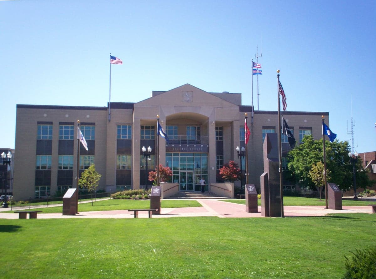
Photo: Wikipedia
Strategic Assessment of Portage County
Meaningful friction. Expect exposure to either population pressure, blast zones, or natural disaster risk. Consider buying a retreat property.
What does the Strategic Assessment tell us?
Our Strategic Assessment grades tactical survivability of an area. Major population centers, military targets, fallout zones, natural disasters, and border exposure all drive risk — lower exposure means a more defensible position in a crisis.
This is heavily inspired by Joel Skousen's Strategic Relocation book. Highly recommended you checkout the book ($)What does this tell us?
Our Strategic Assessment grades tactical survivability of an area. Major population centers, military targets, fallout zones, natural disasters, and border exposure all drive risk — lower exposure means a more defensible position in a crisis.
This is heavily inspired by Joel Skousen's Strategic Relocation book. Highly recommended you checkout the book ($)Strategic Pillars

Key Distances
Strategic Assessment Analysis
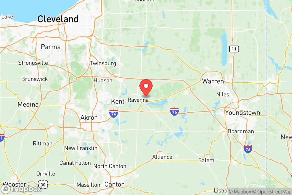
Portage County, Ohio, occupies a strategic middle ground in the Great Lakes region, offering relocators a blend of rural self-sufficiency and proximity to urban infrastructure without the direct fallout risks of a major metropolitan core. Situated roughly 40 miles southeast of Cleveland and 15 miles northeast of Akron, the county benefits from the economic and logistical buffers of the Rust Belt while maintaining a distinct, low-density character. Its resilience profile is shaped by a mix of solid agricultural land, ample freshwater access, and a location that is close enough to critical resources yet far enough from the most likely high-value targets in a crisis scenario.
Geographic position and natural advantages for long-term stability
Portage County sits at the intersection of the Cuyahoga River watershed and the glaciated Allegheny Plateau, giving it a diverse topography of rolling hills, wetlands, and fertile valleys. The county's eastern edge touches the Cuyahoga Valley National Park, a federally protected corridor that limits dense development and provides a natural buffer zone. The area's elevation, generally between 1,000 and 1,200 feet above sea level, places it above the flood-prone lowlands of the Lake Erie shoreline, reducing exposure to storm surge or catastrophic flooding. The county's position in the snowbelt means consistent annual precipitation—averaging around 38 inches—which supports robust groundwater recharge and surface water availability. For a relocator prioritizing water security, the presence of the Cuyahoga River, the Mahoning River headwaters, and numerous smaller streams like the West Branch of the Mahoning River offers multiple redundant sources. The county's glacial till soils are well-suited for small-scale agriculture, with a growing season of roughly 150 days, making it viable for sustained food production without reliance on industrial supply chains.
Risk exposure, proximity to critical infrastructure, and fallout-relevant landmarks
While Portage County avoids the direct blast and fallout zones of major cities, it is not without exposure. The county lies within 50 miles of the Perry Nuclear Power Plant in Lake County, a facility that, while well-regulated, represents a potential radiological hazard in a severe accident or targeted event. More immediately, the county is within 30 miles of the Akron-Canton Regional Airport, a joint civil-military airfield that could become a secondary target or staging area. The county's own infrastructure includes the Ravenna Army Ammunition Plant, a sprawling 21,000-acre facility that historically produced and stored munitions. Though largely inactive since the Cold War, portions remain under Army oversight, and its presence on the National Priorities List for environmental cleanup indicates residual contamination risks. For a relocator, the proximity to Interstate 76 and the Ohio Turnpike (I-80) is a double-edged sword: these routes provide evacuation and supply corridors but also concentrate traffic and potential interdiction points. The county's distance from the heavy industrial corridors of Cleveland's Flats and the Cuyahoga River refineries—roughly 35 miles—reduces but does not eliminate exposure to secondary industrial accidents or targeted strikes on petrochemical infrastructure.
Practical resilience for a relocator: food, water, energy, and defensibility
Portage County offers a strong baseline for practical self-sufficiency, particularly in food and water. The county is home to over 600 farms, with a heavy concentration of dairy, grain, and vegetable operations in towns like Mantua, Garrettsville, and Hiram. The local food system is supported by multiple farmers' markets, including the Kent Farmers' Market and the Rootstown Market, which operate seasonally and provide direct-to-consumer access. For water, the county's reliance on groundwater wells is common in rural areas, and the average well depth of 80-120 feet in the glacial till aquifer yields reliable flow rates of 5-15 gallons per minute—sufficient for a household and small-scale irrigation. Energy resilience is more mixed: the county is served by FirstEnergy's grid, which has experienced reliability issues during extreme weather, but natural gas distribution is widespread, and the proximity to the Utica Shale play means local gas production is a potential backup. Solar potential is moderate, with an average of 170 sunny days per year, but the county's zoning codes in unincorporated areas generally permit small-scale solar and wind installations without excessive permitting. Defensibility is aided by the county's dispersed settlement pattern—population density is roughly 260 people per square mile, with large tracts of state forest and parkland (West Branch State Park, Nelson-Kennedy Ledges State Park) providing natural cover and chokepoints. The county's road network, while extensive, includes numerous dead-end roads and rural lanes that limit through-traffic, making it easier to monitor access points.
Overall, Portage County presents a balanced strategic picture for a relocator focused on resilience. It avoids the highest-risk zones of the Great Lakes industrial corridor while retaining access to the region's freshwater wealth and agricultural capacity. The primary vulnerabilities—proximity to the Perry nuclear plant, the Ravenna munitions site, and major transport routes—are manageable with situational awareness and a well-stocked buffer. For a family or individual willing to invest in well water, solar backup, and local food networks, the county offers a defensible, resource-rich position that is neither isolated nor exposed. The key tradeoff is between the convenience of being near Akron and Cleveland's medical and logistical hubs and the residual risk those cities represent in a crisis. For the conservative-leaning relocator prioritizing self-sufficiency and community cohesion, Portage County's mix of rural character, institutional stability (Kent State University provides a steady anchor), and natural advantages makes it a credible long-term option.

* Values derived from national, state, county, city and local statistics and may differ in a specific area. Last updated: 2026-07-02T07:54:56.000Z
Narrative content on this page is AI-generated and may contain mistakes. Verify any details that matter before acting on them.
ReloMaps may earn a commission from affiliate links at no extra cost to you.

