
Photo: Wikipedia
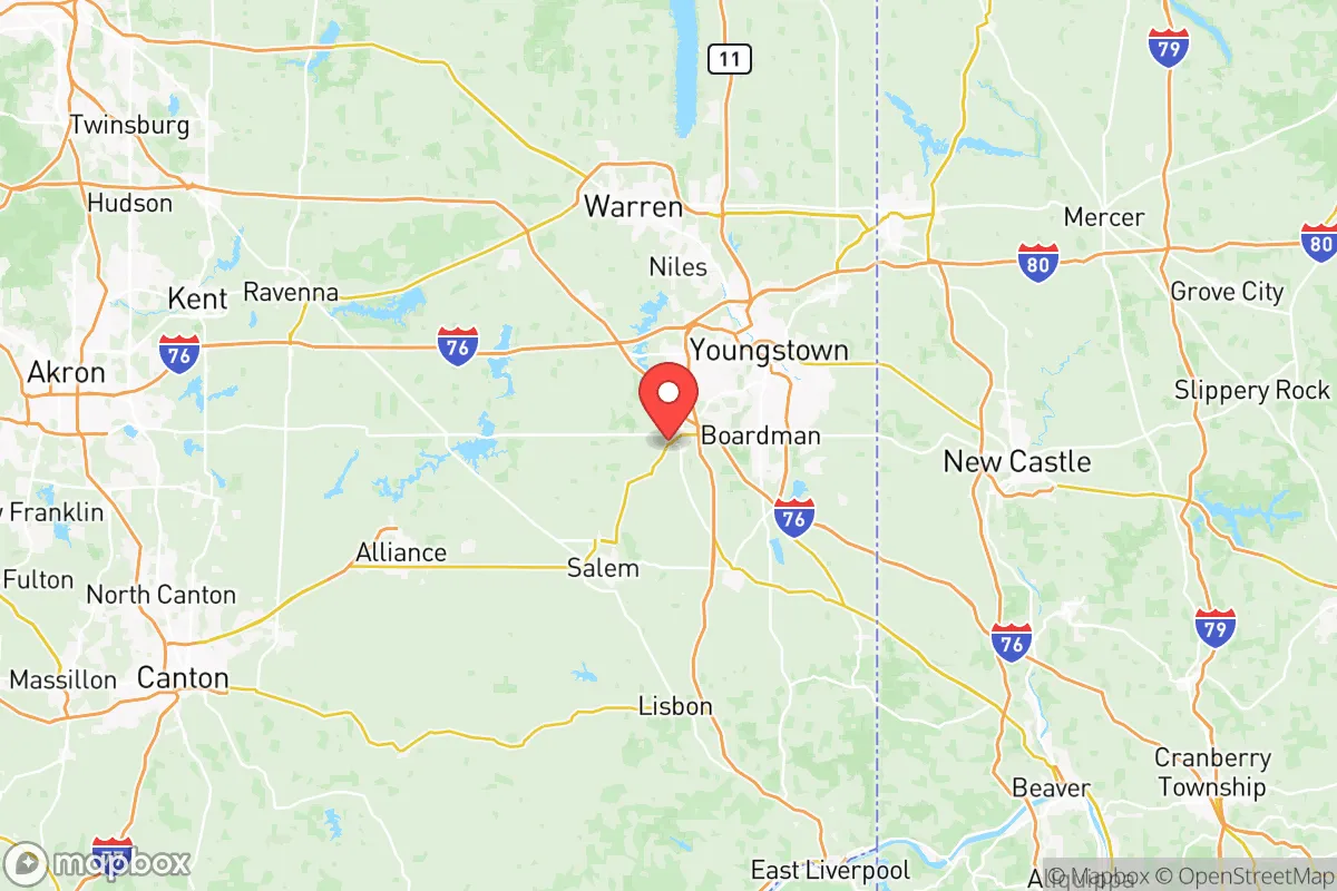
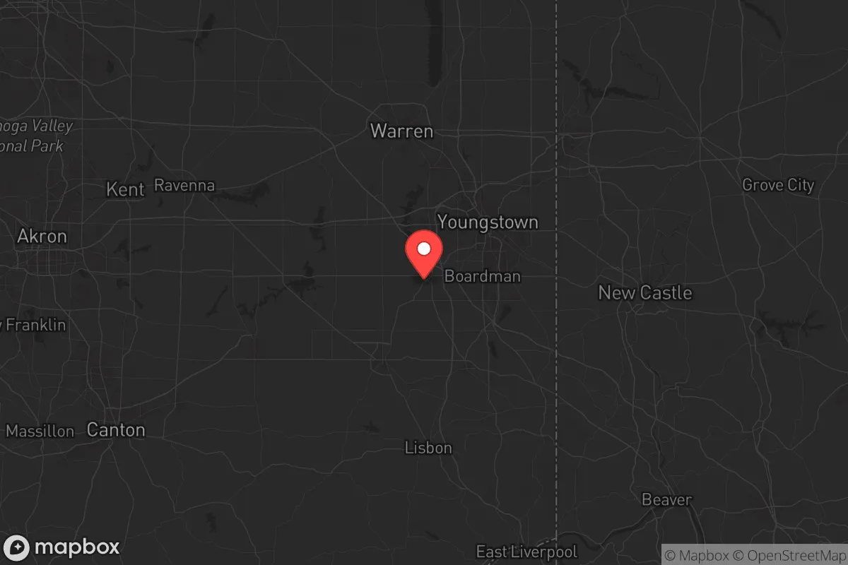
Strategic Assessment of Mahoning County
Meaningful friction. Expect exposure to either population pressure, blast zones, or natural disaster risk. Consider buying a retreat property.
What does the Strategic Assessment tell us?
Our Strategic Assessment grades tactical survivability of an area. Major population centers, military targets, fallout zones, natural disasters, and border exposure all drive risk — lower exposure means a more defensible position in a crisis.
This is heavily inspired by Joel Skousen's Strategic Relocation book. Highly recommended you checkout the book ($)What does this tell us?
Our Strategic Assessment grades tactical survivability of an area. Major population centers, military targets, fallout zones, natural disasters, and border exposure all drive risk — lower exposure means a more defensible position in a crisis.
This is heavily inspired by Joel Skousen's Strategic Relocation book. Highly recommended you checkout the book ($)Strategic Pillars

Key Distances
Strategic Assessment Analysis
Mahoning County, Ohio, sits in a geographic sweet spot that offers a surprising degree of strategic resilience for those thinking about long-term stability and preparedness. Located in the northeastern part of the state, it’s roughly equidistant from the major population centers of Cleveland (about 75 miles northwest) and Pittsburgh (about 65 miles east), yet it remains far enough removed to avoid the immediate fallout zones and civil unrest risks associated with those metro areas. The county’s anchor city, Youngstown, has seen its industrial heyday pass, but that decline has left behind a landscape of affordable land, underutilized infrastructure, and a population that’s learned to be self-reliant. For a conservative-leaning individual or family looking to relocate with an eye on self-sufficiency and reduced exposure to national-scale disruptions, Mahoning County presents a compelling, if under-the-radar, option.
Geographic position and natural advantages for long-term stability
Mahoning County’s location is its primary strategic asset. It sits in the Mahoning Valley, a region defined by the Mahoning River, which provides a reliable freshwater source—critical for any long-term resilience plan. The county is bordered by Trumbull County to the north and Columbiana County to the south, with the Pennsylvania state line forming its eastern edge. This position places it within a day’s drive of multiple major markets (Cleveland, Pittsburgh, Akron, and even Buffalo), but the area itself is largely rural and suburban, with a population density of about 650 people per square mile—low enough to avoid the chaos of a dense urban center, but high enough to maintain a functional community. The terrain is rolling hills and fertile valleys, offering decent agricultural potential for those looking to establish food security. The county’s natural advantages include access to the Mahoning River for water and the presence of substantial forested areas in places like Mill Creek Park, which can serve as both a resource and a buffer. The climate is typical of the Great Lakes region—cold winters with lake-effect snow, but manageable with proper preparation. For a prepper, the key takeaway is that Mahoning County offers a defensible position: it’s not a primary target for any major threat, yet it’s close enough to tap into regional resources if needed.
Risks, exposures, and proximity to fallout-relevant landmarks
No location is without risk, and Mahoning County has its share of exposures that a strategic relocator must weigh. The most significant concern is the county’s industrial legacy. Youngstown was once a steel powerhouse, and while most mills are closed, remnants like the Youngstown Sheet and Tube site and the V&M Star steel plant (still operating in nearby Girard) represent potential industrial hazards. More critically, the county sits within 50 miles of the Beaver Valley Nuclear Power Station in Shippingport, Pennsylvania, about 40 miles east. A major incident there could pose a fallout risk, though prevailing winds typically blow from the west, which would carry contamination away from Mahoning County. On the plus side, the county is far from any major military bases (Fort Hood is in Texas, not Ohio) or large-scale refinery corridors like those in Houston or the Gulf Coast. The nearest significant military installation is the Youngstown Air Reserve Station in Vienna, which is a relatively small base focused on airlift operations—not a high-value target. Proximity to the Ohio Turnpike (I-76 and I-80) is a double-edged sword: it provides evacuation routes but also makes the area a potential chokepoint during mass evacuations from the East Coast. The county’s biggest risk is likely economic decline and population loss, which has left some areas with blight and reduced services, but for a prepper, that also means lower competition for resources and cheaper real estate.
Practical resilience for a relocator: food, water, energy, and defensibility
When you get down to the nuts and bolts of daily survival, Mahoning County offers a mix of strengths and weaknesses. Water is a clear advantage: the Mahoning River runs through the county, and there are numerous smaller creeks and reservoirs, including Lake Milton (partially in the county) and the Meander Creek Reservoir. A well-equipped property with a backup pump and filtration system would provide a reliable water source. Food is more of a mixed bag. The county has some prime farmland, particularly in the southern and western townships like Canfield and Berlin Center, but much of the land is suburban or post-industrial. A relocator would need to secure acreage for gardening or livestock—something that’s very affordable here, with land prices well below national averages. Energy is a potential vulnerability. The grid is aging, and power outages from winter storms are common. However, the county’s proximity to the Marcellus Shale natural gas fields in Pennsylvania means that natural gas is abundant and cheap—many homes already have gas lines, and a backup generator running on propane or natural gas is a practical solution. Solar potential is moderate due to cloud cover, but not prohibitive. Defensibility is where the county shines. The terrain is not mountainous, but the rolling hills and winding roads make it easy to control access to a property. Many homes are set back from main roads, and the low population density means fewer eyes on your activities. The local culture is heavily influenced by the region’s working-class roots and a strong sense of community—people here tend to look out for their neighbors, which can be a double-edged sword for outsiders, but building trust is straightforward if you’re genuine. The county’s gun culture is robust, with multiple shooting ranges and a high rate of firearm ownership, which aligns with a self-defense mindset.
Overall, Mahoning County presents a solid strategic picture for the conservative relocator who values preparedness over convenience. It’s not a glamorous choice—Youngstown has its struggles with crime and economic stagnation—but those very struggles create opportunity. You can buy a decent home on several acres for under $200,000, which leaves capital for solar panels, water storage, and other preps. The county’s location buffers it from the worst of coastal fallout and urban unrest, while still providing access to major highways and medical facilities in Cleveland or Pittsburgh if needed. The biggest trade-off is the weather: harsh winters require serious preparation, and the industrial legacy means you’ll want to test soil and water for contamination if you’re buying farmland. But for someone looking to plant roots in a place that’s off the radar of most threat assessments, Mahoning County is a quiet, affordable, and defensible option worth a hard look.
* Values derived from national, state, county, city and local statistics and may differ in a specific area. Last updated: 2026-06-01T17:00:41.000Z
Narrative content on this page is AI-generated and may contain mistakes. Verify any details that matter before acting on them.
ReloMaps may earn a commission from affiliate links at no extra cost to you.