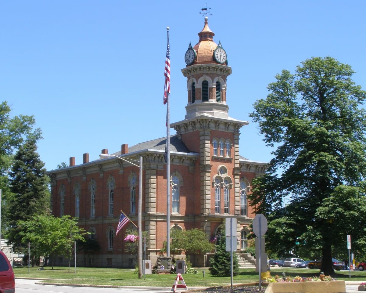
Photo: Wikipedia
Strategic Assessment of Geauga County
Meaningful friction. Expect exposure to either population pressure, blast zones, or natural disaster risk. Consider buying a retreat property.
What does the Strategic Assessment tell us?
Our Strategic Assessment grades tactical survivability of an area. Major population centers, military targets, fallout zones, natural disasters, and border exposure all drive risk — lower exposure means a more defensible position in a crisis.
This is heavily inspired by Joel Skousen's Strategic Relocation book. Highly recommended you checkout the book ($)What does this tell us?
Our Strategic Assessment grades tactical survivability of an area. Major population centers, military targets, fallout zones, natural disasters, and border exposure all drive risk — lower exposure means a more defensible position in a crisis.
This is heavily inspired by Joel Skousen's Strategic Relocation book. Highly recommended you checkout the book ($)Strategic Pillars

Key Distances
Strategic Assessment Analysis
Geauga County, Ohio, offers a compelling mix of strategic depth and everyday livability for relocators prioritizing resilience and self-sufficiency, all within a one-hour drive of downtown Cleveland. Its position in the Appalachian foothills, far from major coastal threats and the heavy industrial corridors of the Ohio River Valley, provides a natural buffer that many Midwestern counties lack. For a conservative-leaning audience weighing disaster readiness alongside quality of life, Geauga County presents a strong case as a quiet, defensible pocket of stability in a region that is otherwise trending toward urban sprawl and infrastructure strain.
Geographic position and natural advantages for long-term stability
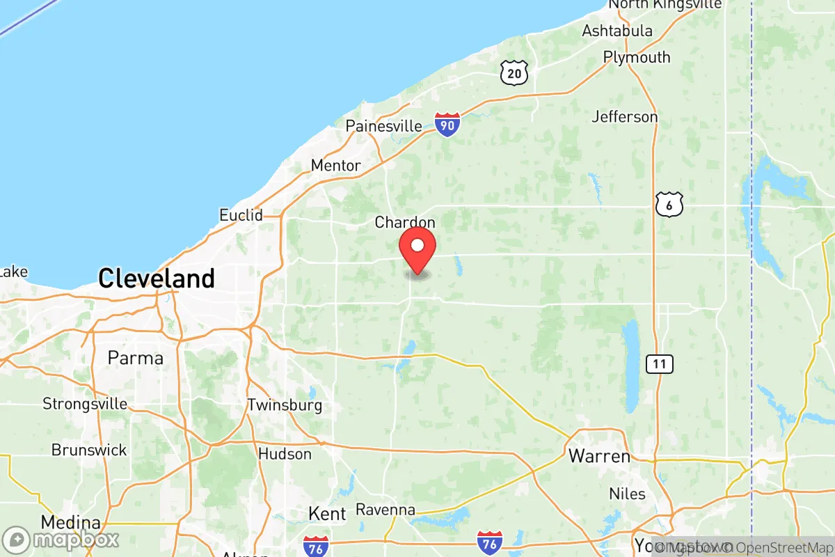
Geauga County sits in the northeastern corner of Ohio, bordered by Lake County to the north and Ashtabula County to the east. Its landscape is defined by rolling hills, deep ravines, and the headwaters of the Cuyahoga and Chagrin Rivers, which gives the area a distinct topographical advantage over the flat, flood-prone lands to the west. The county seat, Chardon, sits on a high ridge that historically earned it the nickname "the Snow Belt," but that elevation also means excellent natural drainage and a lower risk of riverine flooding compared to communities along the Lake Erie shoreline. The county's extensive forest cover—roughly 30% of the land is wooded—provides both a visual buffer and a practical resource for fuel, building materials, and wildlife habitat. For a relocator, this means a property here is less likely to be in a flood zone and more likely to have access to groundwater and timber, two critical assets in a long-term disruption scenario.
Risk exposure, man-made threats, and proximity to fallout-relevant landmarks
Geauga County's risk profile is moderate but worth understanding. The county is not in a major earthquake zone, and tornado activity is less frequent and less intense than in the plains states to the west. However, the region does experience heavy lake-effect snow, which can drop two to three feet in a single storm, creating real mobility challenges for those unprepared for winter driving and power outages. The more significant concern for a resilience-minded relocator is proximity to man-made hazards. Perry Nuclear Power Plant, located roughly 15 miles north in Lake County, is the closest fallout-relevant landmark. While the plant has a strong safety record, its presence means that a worst-case event could affect the northern tier of Geauga County, particularly areas like Thompson Township and Montville Township. Additionally, the county sits about 35 miles east of Cleveland's urban core and its associated industrial infrastructure, including refineries and chemical plants along the Cuyahoga River valley. For a relocator, the practical takeaway is that southern and eastern Geauga—towns like Burton and Middlefield—offer the greatest distance from these risks, while northern townships are closer to the lake-effect snowband and the nuclear exclusion zone.
Practical resilience for a relocator: food, water, energy, and defensibility
Geauga County is one of the few counties in Ohio where a relocator can realistically pursue a semi-self-sufficient lifestyle without being an outlier. The county has a strong agricultural base, with over 600 farms covering nearly half the land area. Middlefield is home to one of the largest Amish communities in Ohio, which means local infrastructure for animal husbandry, grain milling, and blacksmithing is readily available. For a newcomer, this translates into direct access to raw milk, pasture-raised meat, and heirloom seed stock—resources that become invaluable in a supply chain disruption. Water availability is generally good; the county sits atop the Sharon Conglomerate aquifer, and many rural properties have functional wells. However, relocators should test well water for iron and manganese, which are common in the region and can require filtration. Energy resilience is mixed: natural gas is available in most townships, but the county has limited tree cover near power lines, meaning ice storms can knock out electricity for days. Solar potential is moderate—the region gets about 160 sunny days per year—but battery backup and a wood stove are practical necessities here, not luxuries. Defensibility is a strong point: Geauga's road network is sparse and winding, with few major highways. State Route 44 and State Route 422 are the primary arteries, and both can be easily monitored or blocked if needed. The county's low population density—roughly 95,000 people spread over 400 square miles—means that even in a crisis, competition for resources would be less intense than in suburban Cuyahoga or Lake counties.
Overall, Geauga County offers a balanced strategic picture for the relocator who values quiet preparedness over urban convenience. It is not a remote bunker location—it is too close to Cleveland for that—but it is far enough from major threats to provide a meaningful buffer. The presence of the Amish community in Middlefield, the availability of farmland in Burton and Huntsburg, and the natural defensibility of the Chardon ridge all point to a county that has retained its rural character and self-reliant culture. For a family or individual looking to build a resilient lifestyle in a politically stable, low-crime region of the Midwest, Geauga County deserves serious consideration. The snow is real, the nuclear plant is a factor, and the winters are long—but for those willing to prepare, the trade-offs are manageable and the rewards are substantial.

* Values derived from national, state, county, city and local statistics and may differ in a specific area. Last updated: 2026-06-30T18:34:21.000Z
Narrative content on this page is AI-generated and may contain mistakes. Verify any details that matter before acting on them.
ReloMaps may earn a commission from affiliate links at no extra cost to you.

