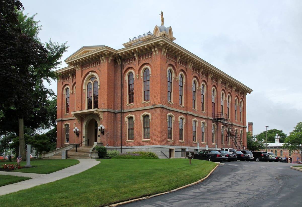
Photo: Wikipedia
Strategic Assessment of Delaware County
Meaningful friction. Expect exposure to either population pressure, blast zones, or natural disaster risk. Consider buying a retreat property.
What does the Strategic Assessment tell us?
Our Strategic Assessment grades tactical survivability of an area. Major population centers, military targets, fallout zones, natural disasters, and border exposure all drive risk — lower exposure means a more defensible position in a crisis.
This is heavily inspired by Joel Skousen's Strategic Relocation book. Highly recommended you checkout the book ($)What does this tell us?
Our Strategic Assessment grades tactical survivability of an area. Major population centers, military targets, fallout zones, natural disasters, and border exposure all drive risk — lower exposure means a more defensible position in a crisis.
This is heavily inspired by Joel Skousen's Strategic Relocation book. Highly recommended you checkout the book ($)Strategic Pillars

Key Distances
Strategic Assessment Analysis
Delaware County, Ohio, offers a compelling mix of strategic depth and practical livability for those prioritizing resilience and self-sufficiency, all while maintaining proximity to the economic engine of Columbus. Its position in the central Ohio region, roughly 20 miles north of the state capital, provides a buffer from dense urban vulnerabilities while still granting access to critical infrastructure and markets. For a relocator weighing disaster readiness against daily convenience, Delaware County presents a balanced profile: it is not a remote bunker, but it is far from a soft target, with a growing network of local resources and a geography that avoids the most acute natural and man-made risks.
Geographic position and natural advantages for long-term stability
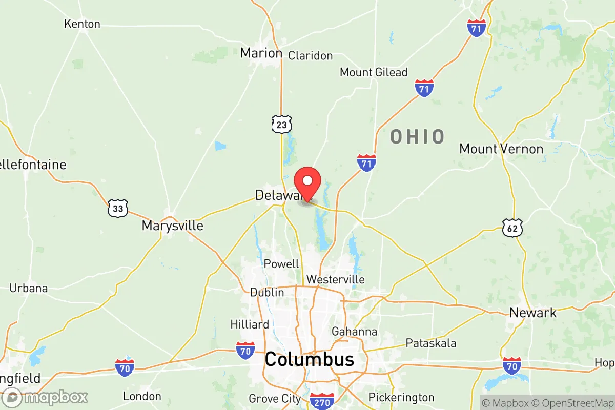
Delaware County sits on the till plains of central Ohio, a region characterized by gently rolling hills, fertile soil, and a temperate climate that avoids the extremes of tornado alley, hurricane zones, or seismic fault lines. The county is bisected by the Olentangy River and the Scioto River, which provide reliable surface water sources and support a robust aquifer system. The city of Delaware, the county seat, lies along the Olentangy, while communities like Powell and Lewis Center sit atop the Scioto River watershed. This hydrology is a genuine asset: well water is viable across much of the county, and the region’s annual rainfall of roughly 38 inches is consistent enough to support rain catchment and small-scale agriculture without the drought risks seen in the West. The terrain is not defensible in a tactical sense—no mountains or chokepoints—but the lack of dense forest or floodplain means evacuation routes (primarily US-23, I-71, and SR-36/37) are multiple and rarely impassable. The county’s position also places it outside the 50-mile radius of any major nuclear power plant, with the nearest, the Perry Nuclear Plant near Cleveland, sitting over 100 miles north. This reduces the risk of fallout from a catastrophic plant failure, a factor that weighs heavily in any serious resilience assessment.
Risks, exposures, and proximity to fallout-relevant landmarks
No location is risk-free, and Delaware County’s proximity to Columbus—a city of nearly 1 million—introduces vulnerabilities that a relocator must acknowledge. The county is within the fallout plume zone of a hypothetical nuclear detonation in downtown Columbus, though prevailing winds typically carry debris northeast, away from the county’s core. More concretely, the county lies within 30 miles of the Rickenbacker Air National Guard Base and the Columbus Regional Airport Authority complex, which includes a major cargo hub and a military airlift wing. While these are not primary targets in a peer-level conflict, they are secondary assets that could draw attention. The county also sits near the I-71 and I-270 corridors, which are critical logistics arteries; a disruption here could choke supply chains for days. On the natural hazard front, the region is not immune to severe thunderstorms, tornadoes (typically EF-0 to EF-2), and occasional winter ice storms. The 2020 derecho that swept through central Ohio caused widespread power outages lasting up to a week in parts of the county. Flooding is localized, primarily along the Olentangy River near Delaware State Park and in low-lying areas of Sunbury. The county’s biggest man-made risk is arguably the Olin Corporation facility in the city of Delaware, which manufactures chlorine and other chemicals. A major release could affect downwind communities, though the plant maintains a robust safety record. For a relocator, the key takeaway is that Delaware County is not a high-risk zone, but it is not a zero-risk one either—its exposure is moderate and manageable with basic preparedness.
Practical resilience for a relocator: food, water, energy, and defensibility
For someone serious about self-sufficiency, Delaware County offers a surprisingly strong foundation. The county is one of Ohio’s top agricultural producers, with over 1,200 farms covering roughly 60% of its land area. Corn, soybeans, and wheat dominate, but there is a growing network of small-scale vegetable farms, orchards, and livestock operations, particularly around Ostrander and Galena. Farmers’ markets in Delaware, Powell, and Lewis Center operate from May through October, and several farms offer CSA shares year-round. This local food infrastructure means that even in a disruption, a relocator with a garden and a few chickens can supplement from neighbors. Water is the county’s strongest card: the Scioto and Olentangy rivers are perennial, and the underlying glacial till aquifer is shallow enough that a hand pump or solar-powered well is feasible on most rural parcels. The county’s energy grid is served by AEP Ohio, which has a mixed generation portfolio including coal, natural gas, and renewables. Solar potential is moderate—central Ohio averages about 170 sunny days per year—but net metering policies are favorable, and several rural properties in the county have already installed off-grid solar arrays. Defensibility is the weakest link: the county is flat, open, and crisscrossed by major roads. A determined group could not hold a perimeter here. However, the social fabric is a compensating factor. The county has a strong culture of volunteer fire departments, community emergency response teams (CERT), and a well-regarded county emergency management agency. The Delaware County Fairgrounds serves as a staging area for disaster response, and the county’s population of roughly 230,000 is spread across small towns and unincorporated areas, reducing the chaos of a dense urban collapse. For a relocator, the practical play is to buy a few acres in the northern or eastern parts of the county—near Kilbourne or Ashley—where parcels are larger, neighbors are farther apart, and the water table is reliable.
The overall strategic picture for Delaware County is one of moderate resilience with strong upside for a prepared relocator. It avoids the worst natural and man-made risks of coastal or industrial regions while offering a genuine agricultural base and abundant water. Its proximity to Columbus is a double-edged sword: it provides access to hospitals, supply chains, and employment, but it also ties the county’s fate to the city’s stability. For a family or individual who is willing to invest in a well, solar panels, and a garden, Delaware County offers a realistic path to self-sufficiency without the isolation of a remote mountain retreat. It is not a fortress, but it is a solid, defensible position in a region that is unlikely to be a primary target in any foreseeable scenario. The county’s growth—it was one of the fastest-growing in Ohio over the past decade—also means that community infrastructure is modern and well-maintained, a factor that matters when roads, hospitals, and emergency services are tested. For the conservative-leaning relocator who values preparedness, community, and a connection to the land, Delaware County is a strong candidate worth a serious look.

* Values derived from national, state, county, city and local statistics and may differ in a specific area. Last updated: 2026-07-24T13:03:04.000Z
Narrative content on this page is AI-generated and may contain mistakes. Verify any details that matter before acting on them.
ReloMaps may earn a commission from affiliate links at no extra cost to you.

