
Photo: Wikipedia
Strategic Assessment of Cuyahoga County
Multiple tactical vulnerabilities. Population density, target proximity, or disaster risk are likely compounding. A retreat property and exit planning is required.
What does the Strategic Assessment tell us?
Our Strategic Assessment grades tactical survivability of an area. Major population centers, military targets, fallout zones, natural disasters, and border exposure all drive risk — lower exposure means a more defensible position in a crisis.
This is heavily inspired by Joel Skousen's Strategic Relocation book. Highly recommended you checkout the book ($)What does this tell us?
Our Strategic Assessment grades tactical survivability of an area. Major population centers, military targets, fallout zones, natural disasters, and border exposure all drive risk — lower exposure means a more defensible position in a crisis.
This is heavily inspired by Joel Skousen's Strategic Relocation book. Highly recommended you checkout the book ($)Strategic Pillars

Key Distances
Strategic Assessment Analysis
Cuyahoga County offers a mixed strategic picture for the relocation-minded reader focused on resilience and self-sufficiency. Its position on Lake Erie provides a massive freshwater resource and moderates temperature extremes, but its location in the heart of Northeast Ohio’s industrial and population corridor introduces significant vulnerabilities. For a single individual or family weighing disaster readiness, the county’s advantages in water access and temperate climate are counterbalanced by proximity to concentrated infrastructure, chemical processing, and the urban core of Cleveland.
Geographic position and natural advantages for long-term stability
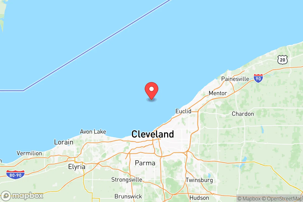
Cuyahoga County sits on the southern shore of Lake Erie, which holds roughly 20% of the world’s surface freshwater—a strategic asset unmatched by most inland counties. The lake moderates summer heat and winter cold, reducing the risk of extreme temperature swings that stress off-grid systems. The county’s terrain is generally rolling hills and glacial till, with the Cuyahoga River cutting a valley through the center. This topography provides natural drainage and some microclimate variation, but lacks the defensible high ground or remote valleys found in Appalachian counties to the east. The county’s position within the Lake Erie snowbelt means heavy lake-effect snow is a recurring winter hazard, but this also ensures consistent annual precipitation—averaging roughly 38 inches per year—which supports local food production and groundwater recharge. For a relocator, the ability to draw from Lake Erie for drinking water, irrigation, or cooling is a genuine long-term advantage, provided one secures legal access to the shoreline or a tributary.
Risks, exposures, and proximity to fallout-relevant landmarks
The county’s greatest strategic weakness is its density of industrial and infrastructure targets. Cleveland’s urban core, including downtown skyscrapers, the Port of Cleveland, and the Cleveland Hopkins International Airport, are obvious concentration points. More critically, the Cuyahoga River valley hosts a heavy concentration of chemical plants, steel mills, and refineries—particularly in the Flats and along the river south of downtown. The BP-Husky Toledo Refinery lies just west in Lucas County, but within Cuyahoga itself, the ArcelorMittal Cleveland steel mill and multiple chemical storage facilities along the ship channel represent significant secondary hazard zones. A major incident at any of these sites could release toxic plumes or cause cascading failures. The county also contains the Perry Nuclear Power Plant in neighboring Lake County, roughly 30 miles east of downtown Cleveland—within the 50-mile ingestion exposure zone. For a relocator, living in the southern or eastern exurbs—places like Solon, Bainbridge, or Chagrin Falls—reduces proximity to these risks compared to living near the lakefront or the industrial valley. The county’s population density of roughly 1,200 people per square mile means that even suburban areas are not truly remote; a grid-down scenario would involve managing proximity to neighbors and potential civil disruption.
Practical resilience for a relocator: food, water, energy, and defensibility
For a family or individual serious about self-sufficiency, Cuyahoga County offers moderate but uneven practical resilience. Water is the strongest asset: Lake Erie provides an essentially inexhaustible supply, and the county’s groundwater is generally good in the southern and eastern townships. However, municipal water treatment plants are centralized and vulnerable to power loss or contamination. A relocator should plan for a well or a lake-access point with a hand pump or filtration system. Food production is feasible but constrained by soil quality and growing season. The county has a number of community gardens and small farms, particularly in the southern townships like Olmsted Falls and Strongsville, but the heavy clay soils require amendment for high-yield gardening. The growing season runs roughly from May to October, with a frost-free period of about 160 days—enough for most vegetables but not for staple grains without significant land. Energy resilience is a weak point: the grid is aging and subject to storm-related outages, and natural gas infrastructure is dense but centralized. Solar potential is moderate—Northeast Ohio averages about 160 sunny days per year, less than the national average—but a well-sited rooftop array with battery storage can cover basic needs. Wood heating is viable given the county’s forest cover, but air quality regulations and proximity to neighbors may limit outdoor burning. Defensibility is the county’s weakest category. The terrain is open and rolling, with few natural chokepoints. Suburban sprawl means most properties are within sight of neighbors or roads. For a relocator seeking true defensibility, the rural townships in the far southeastern corner of the county—areas near Bedford or Northfield—offer more wooded acreage and lower population density, but still lack the isolation of more remote counties to the south and east.
Overall, Cuyahoga County is a strategic compromise for the resilience-minded relocator. Its Lake Erie water access and moderate climate are genuine long-term assets, but its industrial density, population concentration, and lack of defensible terrain introduce significant vulnerabilities. For a family willing to invest in water independence, solar backup, and a property in the southern exurbs, the county can work as a base—especially if the primary goal is proximity to Cleveland’s medical and economic infrastructure rather than full off-grid isolation. However, for a reader whose priority is maximum self-sufficiency and minimum exposure to man-made risks, counties further east or south—such as Geauga, Portage, or Holmes—offer better strategic depth with fewer proximate targets. Cuyahoga is best understood as a high-resource, high-risk zone: the water and soil can sustain you, but the neighbors and industry may not.

* Values derived from national, state, county, city and local statistics and may differ in a specific area. Last updated: 2026-07-27T02:20:11.000Z
Narrative content on this page is AI-generated and may contain mistakes. Verify any details that matter before acting on them.
ReloMaps may earn a commission from affiliate links at no extra cost to you.

