
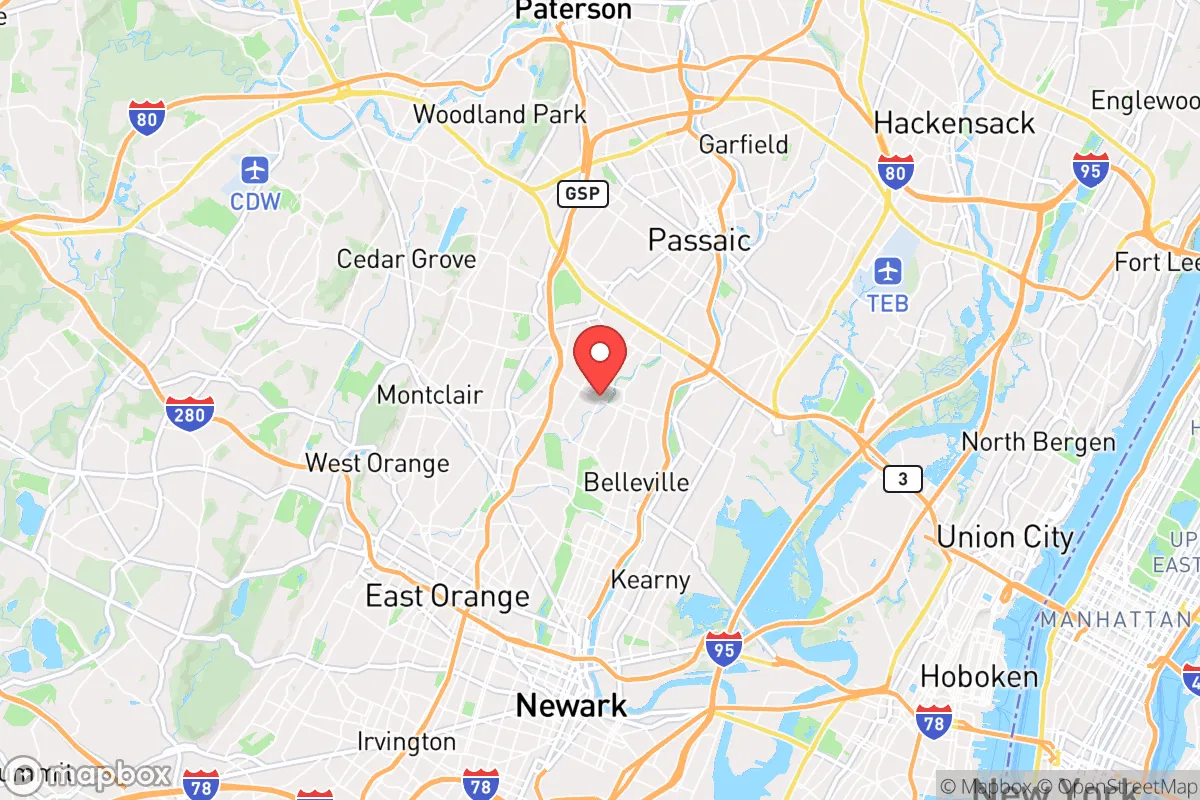
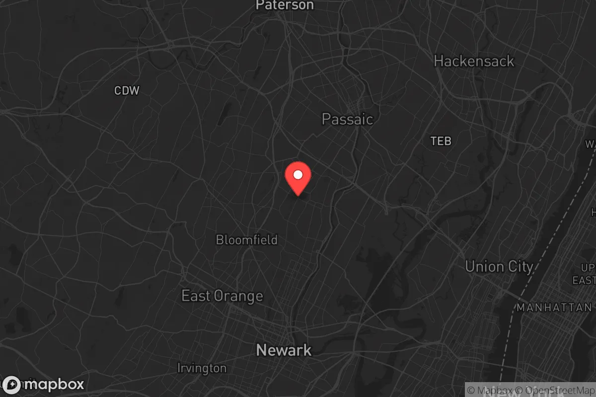
Photo: Wikipedia
Strategic Assessment of Nutley, NJ
High tactical risk. This location is likely close to major population centers, strategic targets, or sits in a high-disaster corridor. A retreat property and careful exit planning is required.
What does the Strategic Assessment tell us?
Our Strategic Assessment grades tactical survivability of an area. Major population centers, military targets, fallout zones, natural disasters, and border exposure all drive risk — lower exposure means a more defensible position in a crisis.
This is heavily inspired by Joel Skousen's Strategic Relocation book. Highly recommended you checkout the book ($)What does this tell us?
Our Strategic Assessment grades tactical survivability of an area. Major population centers, military targets, fallout zones, natural disasters, and border exposure all drive risk — lower exposure means a more defensible position in a crisis.
This is heavily inspired by Joel Skousen's Strategic Relocation book. Highly recommended you checkout the book ($)Strategic Pillars

Key Distances
Regional Safe Places
Below is our recommended "safe zones" in New Jersey and the surrounding area based on our strategic heuristics. For most people, it's unrealistic to live in a “safe zone” full-time due to work, family or other personal reasons. They tend to be more rural. However, many of these areas are perfect for second homes and retreat properties that double as a vacation home or even a short-term rental.
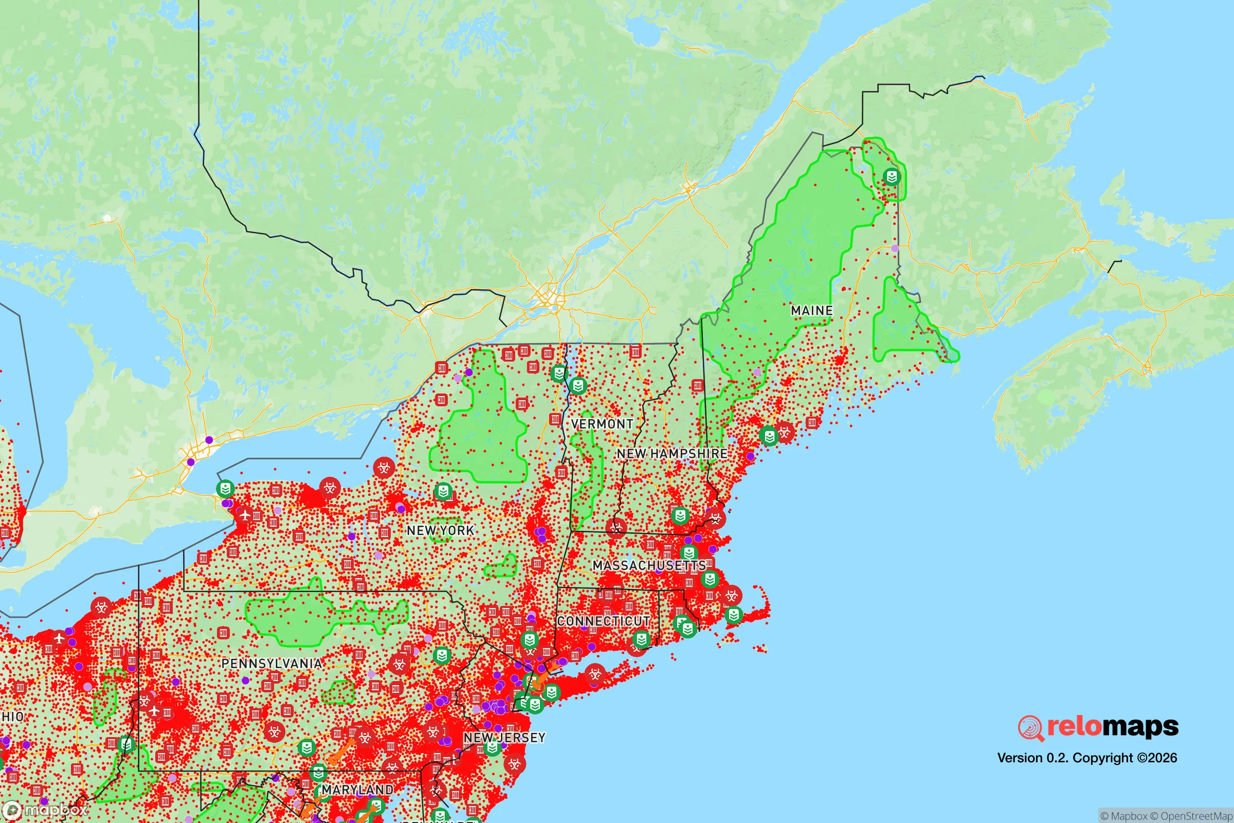
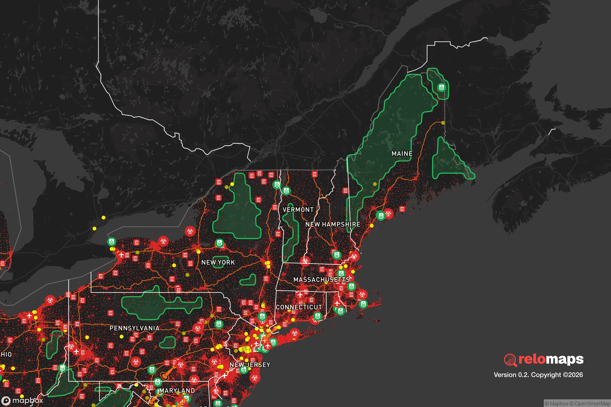


Important Note: For informational purposes only. This does not mean nothing bad ever happens in the green zones. Please use common sense. This is based on public data and modeled with AI. We tried to take a conservative approach but mistakes happen. We update this regularly as new information becomes available.
Solar Generator Recommendations
Backup power matters more here than in safer locations. We've picked three solar generators across budgets and capacity tiers — start with the budget unit if you only need a few essentials, or step up if you want to run a fridge and HVAC for days at a time.
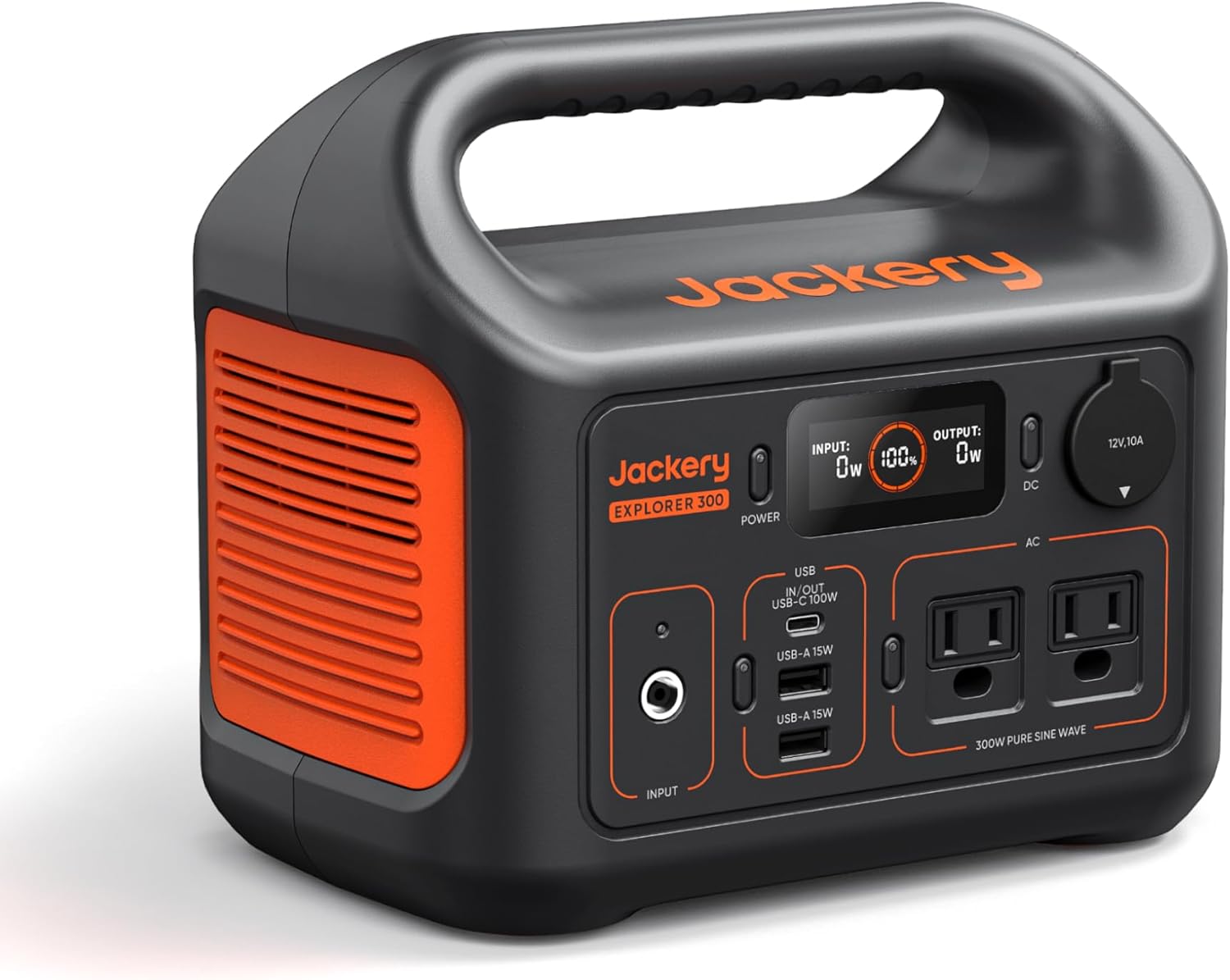
Jackery Portable Power Station Explorer 300
Budget OptionPower on the Go: Weighing only 11 lbs, it's convenient to set up and store with book-sized foldable solar panels

BLUETTI Portable Power Station AC180
Designed for both indoor and outdoor scenarios, AC180 is highly capable as it has a robost capacity and continuous output power.

EF ECOFLOW DELTA Pro Ultra Power Station
Upgraded PickEcoFlow DELTA Pro Ultra is a whole-home energy system designed to grow with your family. Integrated with the Smart Home Panel 2, it scales to meet your evolving energy needs — keeping your home powered, intelligent, and secure through every stage of life.
We earn a commission, at no additional cost to you.
Strategic Assessment Analysis
Nutley, New Jersey, presents a mixed strategic picture for the relocation-minded reader focused on resilience and self-sufficiency. Its primary advantage is a surprisingly strong geographic position within a dense region, offering a degree of natural defensibility and access to resources that many nearby suburbs lack. However, its proximity to major metropolitan targets and critical infrastructure introduces significant man-made risks that must be weighed carefully against its practical day-to-day livability.
Geographic position and natural advantages for long-term stability
Nutley sits on the east bank of the Passaic River, roughly 8 miles northwest of Midtown Manhattan, placing it within the New York City metropolitan area but with a distinct topographic edge. The town occupies a series of low hills and ridges, with elevations ranging from about 30 to 200 feet above sea level. This modest elevation provides natural drainage advantages over the flood-prone Meadowlands to the south and east, and it offers a slight defensive high ground relative to the surrounding flatlands. The area is underlain by dense Triassic basalt and sandstone formations, which provide stable bedrock for structures and, importantly, for potential underground sheltering—a factor often overlooked in suburban resilience assessments. The Passaic River itself, while historically prone to flooding in its lower reaches, is a reliable surface water source, and the nearby Watchung Mountains to the west create a natural barrier that can slow or deflect weather systems and, theoretically, limit ground-level blast or fallout dispersion from certain directions. For a relocator, the key natural advantage is that Nutley is not in a hurricane storm-surge zone, is not on a major fault line, and has no active volcanic or wildfire risk. The climate is temperate, with four distinct seasons, and the local soil is capable of supporting substantial vegetable gardens and small orchards, a meaningful plus for long-term food security.
Risks, exposures, and proximity to fallout-relevant landmarks
The most serious vulnerabilities for Nutley stem from its location within one of the world's densest urban corridors. The town lies approximately 8 miles from Newark Liberty International Airport, a major transportation hub that is a plausible target for both conventional and non-conventional attacks. It is also within 12 miles of the Port of Newark and Elizabeth, the busiest container port on the East Coast, and within 15 miles of the chemical and refining complexes in Linden and Elizabeth. These industrial sites handle large quantities of hazardous materials, including chlorine, ammonia, and petroleum products, making a chemical release or industrial accident a credible non-military risk. More critically for a fallout-conscious reader, Nutley is within the 30-mile "danger zone" of a ground-burst nuclear detonation over Manhattan—a scenario that would produce lethal fallout patterns extending northeast and east, depending on wind. While Nutley is not in the immediate blast radius (which would be roughly 1-2 miles for a 10-kiloton device), it lies in a zone where fallout could arrive within hours, requiring immediate sheltering or evacuation. The town's proximity to major highways (the Garden State Parkway, Route 3, and the Passaic Valley) also means that any large-scale evacuation from New York City would likely clog local roads, making a pre-planned, self-sufficient retreat strategy essential rather than optional. Additionally, the area's electrical grid is heavily interconnected with the PJM Interconnection, meaning a regional blackout—whether from cyberattack, solar storm, or physical sabotage—would affect Nutley with little warning. The town has no significant backup power generation of its own, and its water supply relies on electrically pumped municipal systems.
Practical resilience for a relocator: food, water, energy, and defensibility
For a relocator serious about self-sufficiency, Nutley offers a mixed but workable baseline. Water access is a genuine strength: the Passaic River is a year-round, flowing water source, and the town's municipal water comes from the Passaic Valley Water Commission, which draws from the river and from the Wanaque Reservoir. A motivated resident with a hand pump, a Berkey filter, or a simple rainwater catchment system could secure a reliable off-grid water supply. Food resilience is moderate: the town has several community gardens and a farmers' market (seasonal), but the average residential lot is small (typically 0.1 to 0.25 acres), limiting large-scale gardening. However, the surrounding region—particularly Essex and Morris counties—has active agricultural land within a 20-minute drive, and local farms like Alstede Farms (Chester) and the Community FoodBank of New Jersey (Hillside) provide backup food networks. For long-term storage, the town's many basements (common in pre-1950 homes) offer cool, dark spaces ideal for canned goods, grains, and freeze-dried supplies. Energy resilience is a weak point: Nutley has no municipal solar farm, no community microgrid, and very few homes with off-grid solar or battery backup. Natural gas is the primary heating fuel, and while the gas distribution network is generally reliable, it is vulnerable to earthquake or sabotage. A relocator would need to invest in a portable generator, solar panels, or a propane backup system to maintain basic power for refrigeration, lighting, and communication. Defensibility is surprisingly good for a suburb: Nutley is a compact, walkable town with a dense street grid and many dead-end streets, making it easier to secure a neighborhood perimeter than a sprawling exurban development. The town has its own police department (about 50 officers) and a volunteer fire department, but in a prolonged crisis, residents would largely rely on each other. The local population is stable and community-oriented, with strong civic organizations (the Nutley Historical Society, the Nutley Little Theatre, and numerous sports leagues) that could serve as the basis for mutual-aid networks. The town's location on a hill also provides natural observation points over the surrounding area, a tactical advantage for a prepared group.
The overall strategic picture for Nutley is one of high day-to-day livability with significant but manageable long-term risks. For a relocator who is not alarmist but is genuinely preparing for a range of scenarios—from a multi-week power outage to a regional crisis—Nutley offers a defensible, resource-accessible base that is far better than a dense urban core or a remote rural property with no water or community. The key is to treat the town as a forward operating base: invest in water filtration, a backup power system, a well-stocked pantry, and a vehicle capable of navigating clogged roads (a truck or SUV with high clearance). Build relationships with neighbors, join the local CERT (Community Emergency Response Team) if active, and have a pre-planned evacuation route to the less-dense areas of Sussex County or the Poconos. Nutley's greatest strength is that it is not a target in itself—it is a quiet, middle-class suburb with good bones—but its proximity to New York City means that a relocator must be prepared for the consequences of events they cannot control. For the disciplined, self-reliant individual or family, Nutley is a viable choice; for those expecting the government to handle everything, it is not.

* Values derived from national, state, county, city and local statistics and may differ in a specific area. Last updated: 2026-11-06T16:52:06.000Z
Narrative content on this page is AI-generated and may contain mistakes. Verify any details that matter before acting on them.
ReloMaps may earn a commission from affiliate links at no extra cost to you.

