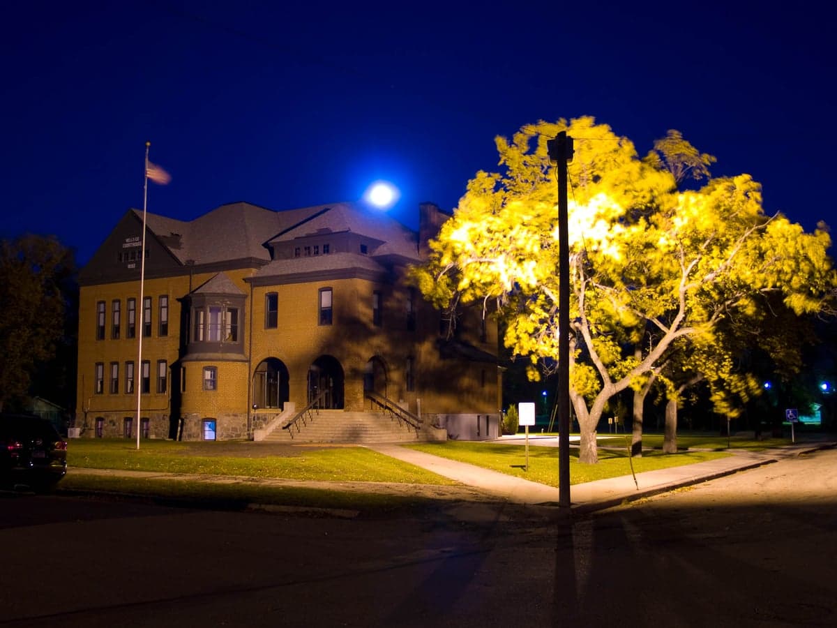
Photo: Wikipedia
Strategic Assessment of Wells County
Deep buffer from population centers and strategic targets. Low natural disaster risk and minimal exposure to border or coastal threats.
What does the Strategic Assessment tell us?
Our Strategic Assessment grades tactical survivability of an area. Major population centers, military targets, fallout zones, natural disasters, and border exposure all drive risk — lower exposure means a more defensible position in a crisis.
This is heavily inspired by Joel Skousen's Strategic Relocation book. Highly recommended you checkout the book ($)What does this tell us?
Our Strategic Assessment grades tactical survivability of an area. Major population centers, military targets, fallout zones, natural disasters, and border exposure all drive risk — lower exposure means a more defensible position in a crisis.
This is heavily inspired by Joel Skousen's Strategic Relocation book. Highly recommended you checkout the book ($)Strategic Pillars

Key Distances
Strategic Assessment Analysis
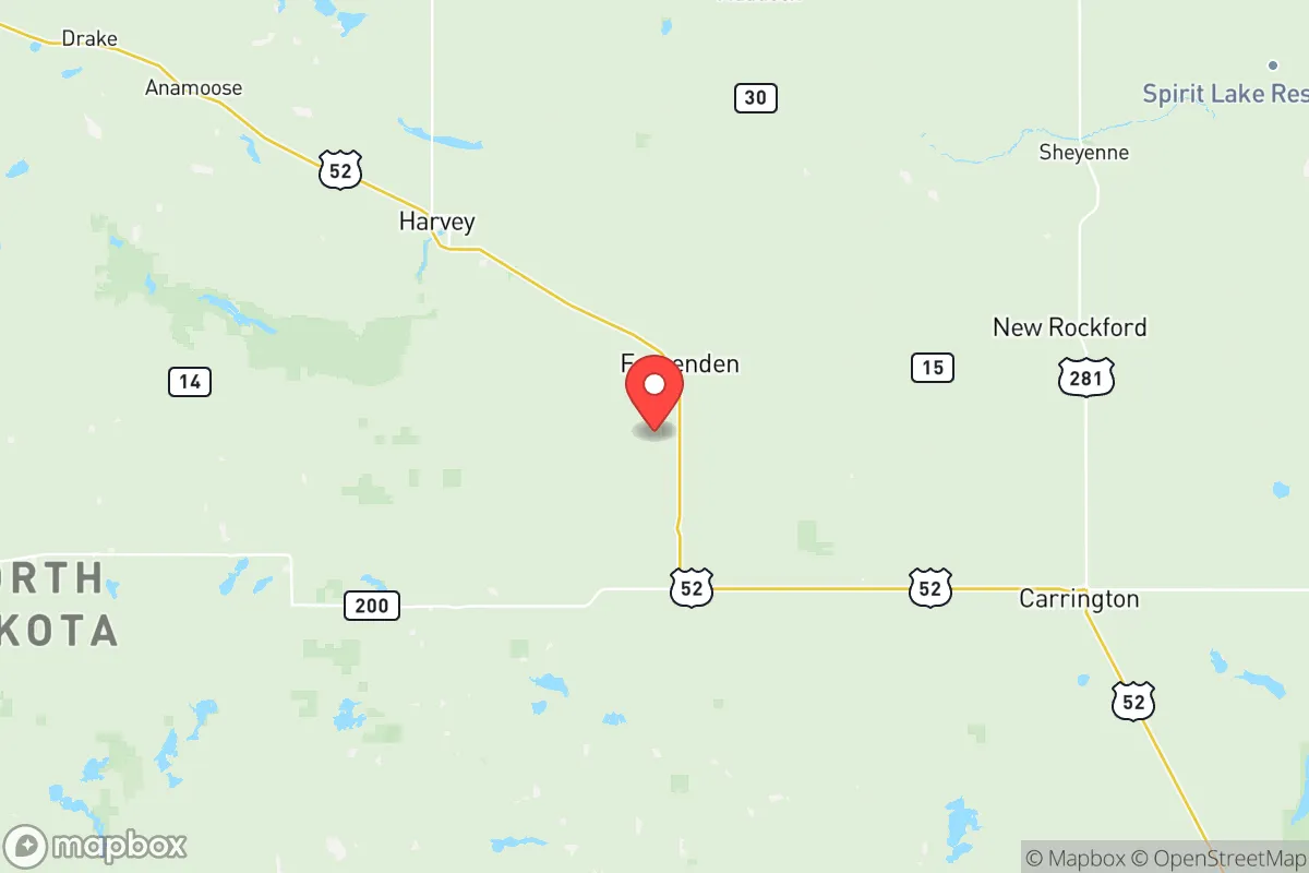
Wells County, North Dakota, offers a strategic relocation option for those prioritizing resilience, self-sufficiency, and distance from major metropolitan vulnerabilities. Its position in the central part of the state, roughly 100 miles from the Canadian border and 150 miles from the Montana line, places it in a low-density corridor that has historically been insulated from the cascading failures of large urban centers. The county seat, Fessenden, and the largest town, Harvey, serve as practical hubs for a population of just over 3,000, providing essential services without the congestion or target profile of a major city. This assessment examines the area's geographic strengths, exposure to risks, and practical resilience for a relocator thinking seriously about long-term preparedness.
Geographic position and natural advantages for long-term stability
Wells County sits atop the Missouri Coteau, a region of rolling hills, glacial lakes, and abundant groundwater that gives it a distinct advantage over flatter, drier parts of the Great Plains. The county is drained by the Sheyenne River and its tributaries, which flow through the towns of Harvey, Fessenden, and Bowdon, providing a reliable surface water source that is rare in much of the western Dakotas. The area's position in the central time zone and its distance from any major interstate highway—Interstate 94 runs about 40 miles south, near Jamestown—means that through traffic is minimal, reducing the likelihood of evacuation-related congestion or supply chain disruptions during a regional crisis. The nearest city of any significant size is Bismarck, roughly 90 miles southwest, which is far enough to avoid the fallout and social instability of a major urban center but close enough for occasional supply runs or medical referrals. The county's agricultural land, primarily used for wheat, corn, and soybeans, also supports a local food economy that is less dependent on long-haul trucking than most of the country.
Risks, exposures, and proximity to fallout-relevant landmarks
Wells County's primary risk exposure is natural rather than man-made, which is a net positive for a resilience-minded relocator. The area lies in Tornado Alley's northern fringe, with an average of 2-3 tornado warnings per year, typically weak EF0-EF1 events that cause limited structural damage. Blizzards and extreme cold are the most consistent hazards—winter temperatures can drop to -40°F with wind chills below -60°F—but these are predictable and manageable with proper preparation. The county is not in a floodplain for major rivers, though localized flash flooding can occur along the Sheyenne River during spring thaw. From a man-made risk perspective, Wells County's distance from strategic targets is a major advantage. The nearest military installation is the North Dakota Air National Guard base in Fargo, roughly 130 miles east, which hosts MQ-9 Reaper drones but is not a primary nuclear target. The Minot Air Force Base, home to nuclear-capable B-52 bombers and Minuteman III missile silos, is about 110 miles northwest—close enough to be aware of, but far enough that a direct strike on Minot would not produce fallout that reaches Wells County under prevailing westerly winds. The county itself contains no missile silos, refineries, or major industrial facilities that would make it a secondary target. The nearest refinery is the Tesoro Mandan Refinery near Bismarck, 90 miles southwest, which is a potential target but far enough to avoid direct blast effects. For a relocator concerned about nuclear fallout, Wells County's position in the "gap" between Minot and Grand Forks Air Force bases, and its distance from the Bakken oil fields to the west, offers a meaningful buffer.
Practical resilience for a relocator: food, water, energy, and defensibility
Wells County's practical resilience is strong for those willing to invest in off-grid infrastructure. The county sits atop the Dakota Aquifer, a massive sandstone formation that provides clean groundwater at depths of 100-300 feet. Most rural properties already have private wells, and the water table is stable enough that a hand pump or solar-powered well can provide a reliable post-collapse water source. The county's agricultural base means that local food production is viable—the Harvey Farmers Market and local grain elevators in Fessenden and Bowdon provide direct access to bulk staples, and the area's hunting (deer, pheasant, waterfowl) and fishing (northern pike, walleye in area lakes) supplement a diet. Energy resilience is moderate: the county is served by Verendrye Electric Cooperative, which sources power from coal and natural gas plants, but the rural terrain makes solar panel installation straightforward, and wood heating is common due to abundant shelterbelts and tree rows. Defensibility is a mixed picture. The county's low population density (roughly 3 people per square mile) means that a prepared household can maintain a low profile, but the open prairie terrain offers limited natural cover. The towns of Harvey and Fessenden have active local law enforcement and volunteer fire departments, but response times in rural areas can exceed 30 minutes. For a relocator, the key is to choose a property with a good well, a south-facing slope for solar, and a defensible perimeter—ideally near a creek or tree line that provides both water and cover. The county's strong sense of community, evidenced by active churches, 4-H clubs, and the Wells County Fair, also means that mutual aid networks are easier to build than in more transient areas.
The overall strategic picture for Wells County is one of moderate resilience with low risk. It is not a perfect bug-out location—the harsh winters and limited medical infrastructure (the nearest hospital is CHI St. Alexius Health in Harvey, a critical access facility with 25 beds) require serious preparation. But for a relocator seeking a balance between isolation and access, with a reliable water source, a local food economy, and distance from major targets, Wells County offers a defensible position that is often overlooked in favor of more famous Montana or Idaho destinations. The county's lack of strategic value to an adversary, combined with its natural resource base, makes it a solid choice for those who value long-term stability over short-term convenience. The key is to arrive with a plan for winter heating, a well-tested water system, and a willingness to integrate into a community that values self-reliance as a matter of course, not just as a contingency.

* Values derived from national, state, county, city and local statistics and may differ in a specific area. Last updated: 2026-10-30T16:18:48.000Z
Narrative content on this page is AI-generated and may contain mistakes. Verify any details that matter before acting on them.
ReloMaps may earn a commission from affiliate links at no extra cost to you.

