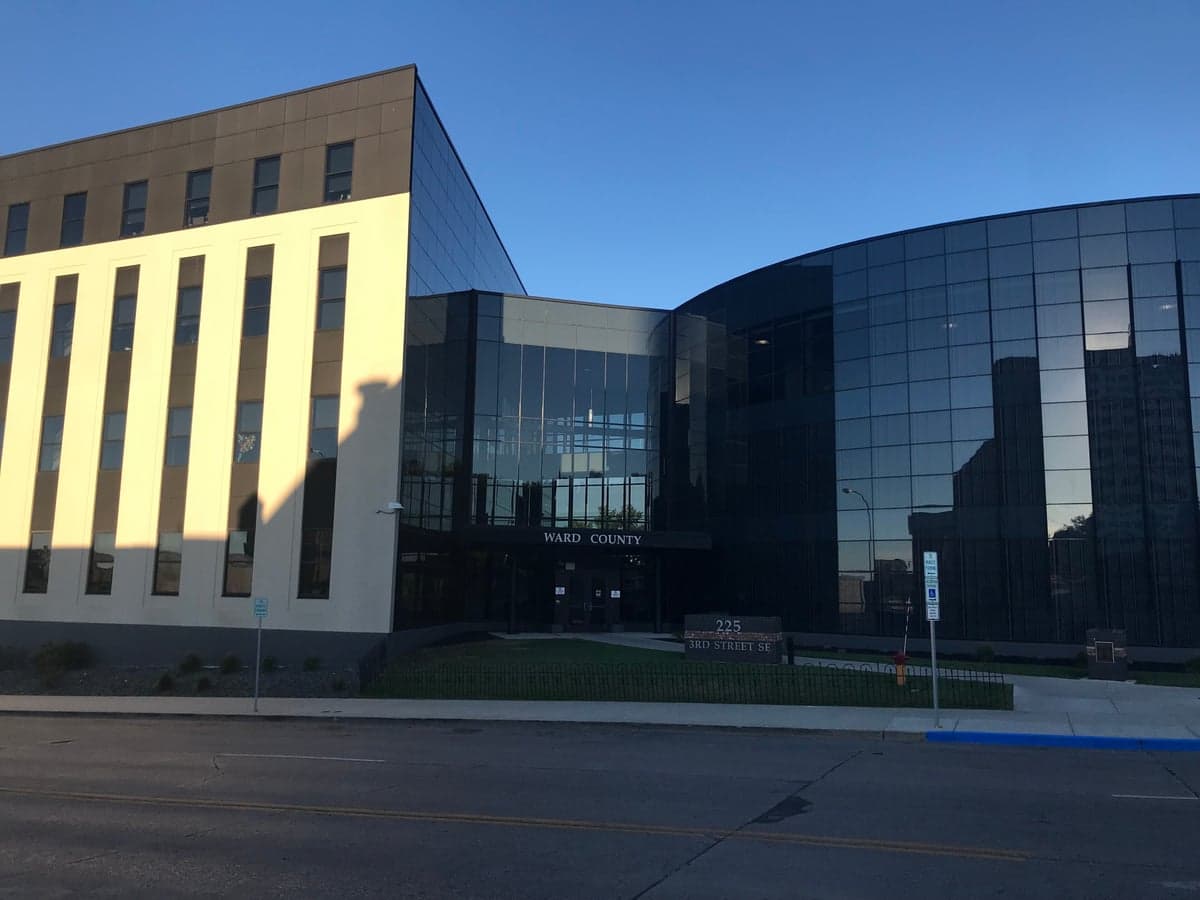
Photo: Wikipedia
Strategic Assessment of Ward County
Workable tactical position. Some exposure to population density or targets, but generally defensible in a crisis.
What does the Strategic Assessment tell us?
Our Strategic Assessment grades tactical survivability of an area. Major population centers, military targets, fallout zones, natural disasters, and border exposure all drive risk — lower exposure means a more defensible position in a crisis.
This is heavily inspired by Joel Skousen's Strategic Relocation book. Highly recommended you checkout the book ($)What does this tell us?
Our Strategic Assessment grades tactical survivability of an area. Major population centers, military targets, fallout zones, natural disasters, and border exposure all drive risk — lower exposure means a more defensible position in a crisis.
This is heavily inspired by Joel Skousen's Strategic Relocation book. Highly recommended you checkout the book ($)Strategic Pillars

Key Distances
Strategic Assessment Analysis
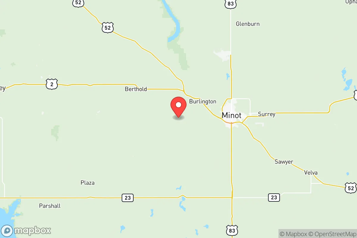
Ward County, anchored by the city of Minot, offers a compelling strategic profile for relocation-minded readers who prioritize resilience, self-sufficiency, and a buffer from the vulnerabilities of major metropolitan centers. Its position in north-central North Dakota, roughly 100 miles from the Canadian border and 450 miles from Minneapolis, provides genuine geographic insulation while maintaining access to essential infrastructure, making it a serious consideration for those evaluating long-term stability and disaster preparedness.
Geographic position and natural advantages for long-term stability
Ward County sits on the Missouri Plateau, a region characterized by rolling plains, the Souris River valley, and a climate that demands self-reliance. The county's most significant natural asset is its proximity to the Missouri River system, with Lake Sakakawea—one of the largest man-made reservoirs in the United States—located just 30 miles south of Minot. This reservoir, formed by the Garrison Dam, provides a massive, reliable freshwater source that is less susceptible to drought than surface water in many other regions. The Souris River, which runs through Minot itself, adds a secondary water source, though its history of flooding (notably the catastrophic 2011 flood) requires careful site selection for any property. The area's cold continental climate, with average winter lows near -10°F, acts as a natural deterrent to many biological and pest-related risks, while the flat to gently rolling terrain offers defensible sightlines and straightforward property development. The county's low population density—roughly 70,000 residents across 1,400 square miles—means that even a moderate-sized town like Minot (population ~48,000) feels spacious, with ample room for private gardens, livestock, or off-grid infrastructure without immediate neighbor encroachment.
Risks, exposures, and proximity to fallout-relevant landmarks
Ward County's risk profile is notably favorable compared to coastal or industrial-heavy regions, but it is not without exposures. The primary man-made risk stems from the Minot Air Force Base, located approximately 15 miles north of Minot. This base is home to the 5th Bomb Wing, operating B-52H Stratofortress bombers, and the 91st Missile Wing, which controls 150 Minuteman III intercontinental ballistic missile silos spread across a 8,500-square-mile area in north-central North Dakota. While the base is a major employer and economic anchor, it also makes Ward County a potential target in a conflict scenario involving strategic nuclear assets. The missile silos themselves are hardened and dispersed, but any direct strike on the base or a silo would create significant fallout and disruption within a 20-30 mile radius. However, compared to the dense concentration of targets near Houston's refinery corridor, the Port of Los Angeles, or the Washington D.C. metro area, Ward County's exposure is relatively isolated and manageable for a prepared individual. Natural risks include the aforementioned Souris River flooding, which inundated over 4,000 homes in Minot in 2011, and severe winter storms that can drop several feet of snow and cause multi-day power outages. Tornadoes are possible but less frequent than in the Great Plains further south, with an average of 2-3 per year in the county. The area's distance from major fault lines, hurricane zones, and wildfire-prone terrain is a clear advantage.
Practical resilience for a relocator: food, water, energy, and defensibility
For a relocator focused on self-sufficiency, Ward County offers strong fundamentals. Food production is viable: the county sits within the fertile Red River Valley watershed, and local agriculture is dominated by wheat, barley, canola, and sunflowers. Small-scale farming and gardening are feasible, though the short growing season (roughly 120 frost-free days) requires cold-hardy crops and season extension techniques. The Minot Farmers Market and local co-ops provide access to regionally grown food, and hunting (deer, waterfowl, upland birds) is popular and accessible on public lands like the Upper Souris National Wildlife Refuge. Water security is excellent: Lake Sakakawea holds over 23 million acre-feet of water, and the Minot municipal water supply draws from the Souris River and groundwater wells. For off-grid setups, shallow aquifers are present across much of the county, with well depths typically between 50 and 200 feet. Energy infrastructure is robust: the region benefits from the Bakken oil fields (roughly 50 miles west), with natural gas and crude oil production providing local energy security. The coal-fired Coyote Station and the nearby Garrison Dam hydroelectric plant supply reliable grid power, while ample wind and solar potential exist for supplementary off-grid systems. Defensibility is a mixed picture: the flat terrain offers clear sightlines but limited natural cover, making rural properties with perimeter fencing, security lighting, and strategic landscaping advisable. The county's low crime rate (violent crime in Minot is roughly half the national average) and strong community networks reduce the need for aggressive security measures, but the remote nature of some areas means emergency response times can exceed 20 minutes. The Minot International Airport and U.S. Highway 2 and 83 provide evacuation routes, though winter conditions can render roads impassable for short periods.
The overall strategic picture for Ward County is one of genuine resilience tempered by specific, manageable risks. Its geographic isolation from major population centers and critical infrastructure targets is a significant advantage for those seeking to avoid the cascading failures common in dense urban areas. The presence of Minot Air Force Base introduces a unique but localized threat, while the abundance of fresh water, energy resources, and agricultural land provides a solid foundation for long-term self-sufficiency. For a family or individual willing to adapt to harsh winters and invest in flood-aware property selection, Ward County represents a defensible, resource-rich, and strategically sound relocation option in an increasingly uncertain world. The key is to choose a location outside the Souris River floodplain, establish a reliable backup power source, and build connections with the local farming and ranching community—steps that are entirely achievable with planning and modest investment.

* Values derived from national, state, county, city and local statistics and may differ in a specific area. Last updated: 2026-06-16T07:31:55.000Z
Narrative content on this page is AI-generated and may contain mistakes. Verify any details that matter before acting on them.
ReloMaps may earn a commission from affiliate links at no extra cost to you.

