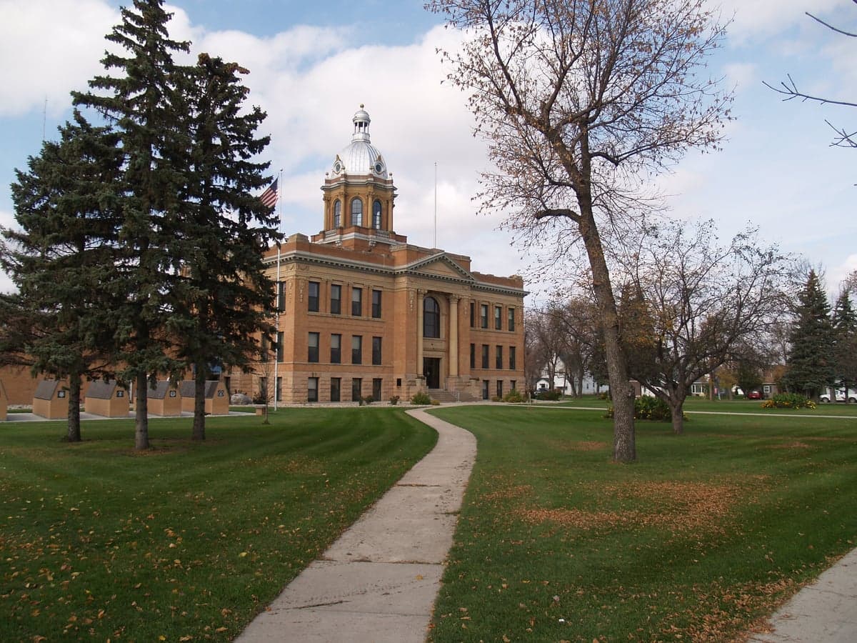
Photo: Wikipedia
Strategic Assessment of Traill County
Deep buffer from population centers and strategic targets. Low natural disaster risk and minimal exposure to border or coastal threats.
What does the Strategic Assessment tell us?
Our Strategic Assessment grades tactical survivability of an area. Major population centers, military targets, fallout zones, natural disasters, and border exposure all drive risk — lower exposure means a more defensible position in a crisis.
This is heavily inspired by Joel Skousen's Strategic Relocation book. Highly recommended you checkout the book ($)What does this tell us?
Our Strategic Assessment grades tactical survivability of an area. Major population centers, military targets, fallout zones, natural disasters, and border exposure all drive risk — lower exposure means a more defensible position in a crisis.
This is heavily inspired by Joel Skousen's Strategic Relocation book. Highly recommended you checkout the book ($)Strategic Pillars

Key Distances
Strategic Assessment Analysis
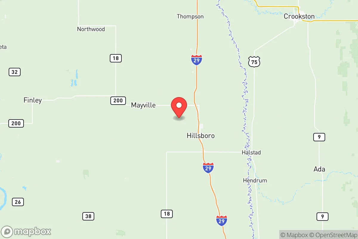
Traill County, North Dakota, offers a strategic relocation option for those prioritizing resilience and self-sufficiency, blending agricultural stability with a low-profile position away from major metropolitan vulnerabilities. Located in the Red River Valley, the county’s population of roughly 8,000 is spread across small towns like Hillsboro (the county seat), Mayville, Portland, and Hatton, providing a quiet, defensible base. Its proximity to Grand Forks (about 30 miles north) and Fargo (about 50 miles south) offers access to supplies and healthcare without the fallout risks of dense urban centers. For a reader weighing disaster readiness, Traill County’s combination of flat, fertile farmland, low population density, and distance from high-value targets makes it a practical, if not flashy, choice.
Geographic position and natural advantages for long-term stability
Traill County sits in the heart of the Red River Valley, a region defined by its flat, glacially deposited plains and rich topsoil. This geography is a double-edged sword: it’s ideal for agriculture but prone to flooding from the Red River and its tributaries, like the Goose River and Elm River. The county’s elevation is uniformly low—around 900 feet above sea level—which means no natural high ground for defensive positioning, but the open terrain offers clear lines of sight and minimal cover for any potential threat. The area’s primary natural advantage is its groundwater availability; the Pembina Gorge and deeper aquifers provide reliable water sources, though wells require proper depth to avoid surface contamination. Winters are harsh, with average January lows around -5°F and heavy snowfall, which can be a resilience asset (natural cold storage) or a liability (isolation during blizzards). The county’s position in the Central Time Zone and its distance from the coasts (over 1,000 miles from both the Atlantic and Pacific) reduce exposure to hurricane or tsunami risks, while tornadoes are a moderate threat—typically EF1-EF2, with warning systems in place.
Risks, exposures, and proximity to fallout-relevant landmarks
Traill County’s strategic value is partly defined by what it is not near. It sits roughly 100 miles from the Canadian border and 150 miles from the nearest major oil refinery in St. Paul Park, Minnesota, which is a potential secondary target in a conflict scenario. The county is not within the immediate fallout zone of any major military installation—the closest is Grand Forks Air Force Base (about 35 miles north), which hosts the 319th Reconnaissance Wing and is a potential target for long-range strikes. However, prevailing winds in the region blow from the west-northwest, meaning fallout from a strike on the base would likely drift eastward into Minnesota, not south into Traill County. The county’s own infrastructure is minimal: no major refineries, no nuclear power plants (the closest is Prairie Island in Minnesota, 250 miles southeast), and no large-scale industrial complexes. The BNSF Railway line runs through Hillsboro, carrying freight including hazardous materials, but this is a low-probability risk compared to urban rail hubs. Flooding is the most tangible natural risk—the Red River has a history of major floods (1997, 2009, 2011), and the county’s flat terrain means water can spread for miles, potentially isolating communities. The Maple River and Goose River are also prone to spring ice jams. For a relocator, the key takeaway is that Traill County is a low-priority target for man-made disasters but requires active flood management and winter preparedness.
Practical resilience for a relocator: food, water, energy, and defensibility
Traill County’s agricultural base is its strongest resilience asset. The county is a top producer of wheat, soybeans, corn, and sugar beets, with local processing facilities like the Hillsboro Sugarbeet Cooperative and Mayville State University’s agricultural research programs providing expertise and infrastructure. For a relocator, this means direct access to bulk food sources—farmers’ markets, grain elevators, and livestock operations are common, and the county’s USDA-designated food desert status in some areas is offset by the ability to buy directly from producers. Water is abundant but requires treatment; the Red River Valley Water Supply Project (a pipeline from the Missouri River) is under development but not yet operational, so most residents rely on groundwater wells or municipal systems drawing from the Pembina Aquifer. Energy is a mixed picture: the county is served by Xcel Energy and Northern Plains Electric Cooperative, with power primarily from coal and natural gas plants in the region. Solar potential is moderate (4.5-5.0 kWh/m²/day), and wind is a viable supplement—the county has several small wind turbines, but large-scale wind farms are more common in western North Dakota. Defensibility is limited by the flat terrain; there are no natural chokepoints or high ground. However, the county’s low population density (about 10 people per square mile) and dispersed settlement pattern (with Hillsboro, Mayville, and Portland as the only towns over 1,000 people) make it hard to isolate or overwhelm. The Interstate 29 corridor runs through the county, providing a north-south evacuation route, but it also serves as a potential vector for movement during a crisis. For a relocator, the practical strategy is to secure a property with a well, solar panels, and a root cellar, and to build relationships with local farmers for barter and supply.
Overall, Traill County presents a balanced strategic picture for a relocator focused on resilience. Its strengths lie in its agricultural self-sufficiency, low target value, and distance from major fallout zones, while its weaknesses are the flat, flood-prone terrain and harsh winters. The county is not a fortress—it’s a working landscape where preparedness means knowing your neighbors, storing food, and maintaining equipment. For a family or individual willing to invest in flood mitigation and winterization, it offers a stable, low-profile base with access to regional resources in Grand Forks and Fargo. The key is to treat it as a long-term homestead, not a bug-out location—the community’s resilience depends on collective effort, and newcomers who contribute to that will find the area a solid, if unglamorous, choice for serious disaster readiness.

* Values derived from national, state, county, city and local statistics and may differ in a specific area. Last updated: 2026-07-07T01:14:34.000Z
Narrative content on this page is AI-generated and may contain mistakes. Verify any details that matter before acting on them.
ReloMaps may earn a commission from affiliate links at no extra cost to you.

