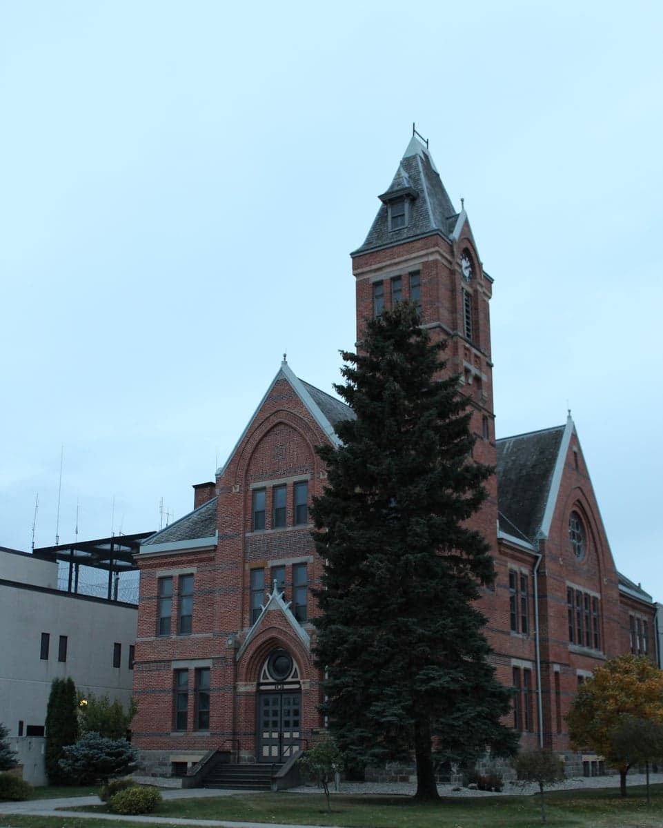
Photo: Wikipedia
Strategic Assessment of Stutsman County
Strong survivability profile. Good buffer from population centers, with manageable environmental and tactical risks.
What does the Strategic Assessment tell us?
Our Strategic Assessment grades tactical survivability of an area. Major population centers, military targets, fallout zones, natural disasters, and border exposure all drive risk — lower exposure means a more defensible position in a crisis.
This is heavily inspired by Joel Skousen's Strategic Relocation book. Highly recommended you checkout the book ($)What does this tell us?
Our Strategic Assessment grades tactical survivability of an area. Major population centers, military targets, fallout zones, natural disasters, and border exposure all drive risk — lower exposure means a more defensible position in a crisis.
This is heavily inspired by Joel Skousen's Strategic Relocation book. Highly recommended you checkout the book ($)Strategic Pillars

Key Distances
Strategic Assessment Analysis
Stutsman County, anchored by the city of Jamestown, offers a strategic relocation option for those prioritizing resilience and self-sufficiency in the Northern Plains. Its position along Interstate 94 and the James River valley provides a blend of transportation access and natural resource advantages, while its distance from major metropolitan targets and critical infrastructure hubs reduces exposure to many common disaster and fallout scenarios. For a reader weighing long-term preparedness, this area presents a compelling mix of agricultural stability, low population density, and relative geographic isolation from the highest-risk zones.
Geographic position and natural advantages for long-term stability
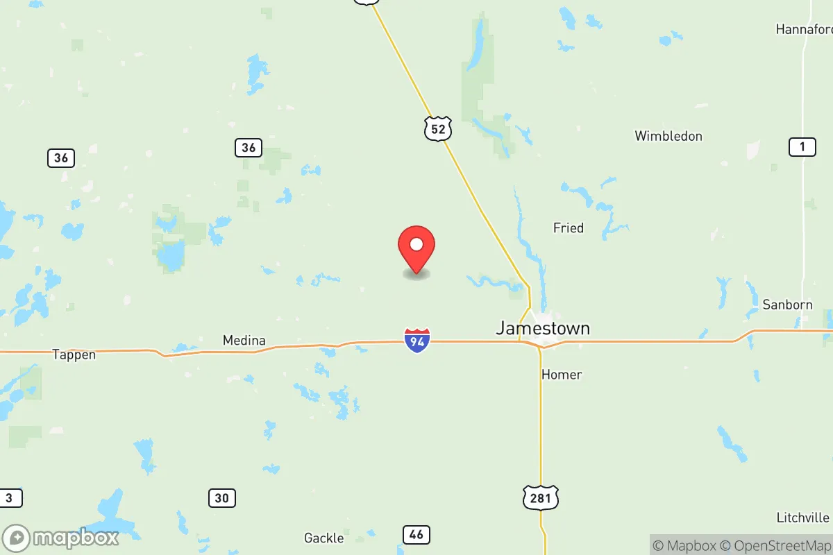
Stutsman County sits in the heart of North Dakota's Drift Prairie region, roughly 90 miles west of Fargo and 100 miles east of Bismarck. This central location places it away from the state's major oil and gas activity in the Bakken region to the northwest, while still being within a reasonable drive of essential services in larger cities. The county's topography is gently rolling plains with numerous glacial lakes and wetlands, providing natural water retention and drainage. The James River, which flows through Jamestown, is a perennial water source that supports both municipal supply and agricultural irrigation. The area's climate is continental, with cold winters and warm summers, but it avoids the extreme tornado alley risks of the central Plains and the hurricane threats of coastal regions. The county's agricultural base—primarily wheat, corn, soybeans, and cattle—means that local food production is a tangible reality, not just a theoretical advantage. The presence of the Jamestown Reservoir and the Arrowwood National Wildlife Refuge further underscores the region's water security and ecological stability.
Risk exposure: natural hazards, man-made threats, and proximity to fallout-relevant landmarks
Stutsman County's risk profile is notably lower than many other regions, but it is not without exposures. The primary natural hazards are blizzards and extreme cold, which can disrupt transportation and power for days at a time. The area also experiences occasional drought and severe thunderstorms with hail, though catastrophic tornadoes are less frequent than in states to the south. From a man-made risk perspective, the county's distance from major strategic targets is a significant advantage. The nearest military installation of note is the Grand Forks Air Force Base, roughly 120 miles north, which hosts missile warning and space control operations. The Minot Air Force Base, home to nuclear-capable B-52 bombers and missile silos, is about 180 miles northwest. While these are potential targets in a conflict scenario, Stutsman County is far enough removed to avoid direct blast effects, though fallout patterns would depend on wind direction. More immediately, the county contains no major refineries, chemical plants, or nuclear power stations. The nearest significant industrial complex is the oil and gas infrastructure around Williston, over 200 miles away. The county's own critical infrastructure—the Jamestown Regional Airport, the I-94 corridor, and the BNSF Railway line—are modest in scale and unlikely to be primary targets. The primary risk for a relocator is the severe winter weather, which demands robust heating, food storage, and transportation planning.
Practical resilience for a relocator: food, water, energy, and defensibility
For someone serious about self-sufficiency, Stutsman County offers several structural advantages. Food security is strong: the county is part of North Dakota's breadbasket, with local farms producing grains, legumes, and livestock. The Jamestown area has multiple farmers' markets, co-ops, and direct-to-consumer meat processors. Gardening is viable during the growing season, and the region's soil quality is excellent for staple crops. Water access is reliable, with the James River and the Jamestown Reservoir providing surface water, while groundwater from the Dakota Aquifer is accessible via wells in many rural areas. Municipal water in Jamestown is treated and tested regularly, but rural properties often have their own wells, which adds a layer of independence. Energy resilience is mixed. The county is served by Montana-Dakota Utilities and Roughrider Electric Cooperative, with electricity primarily generated from coal and natural gas plants in the region. There is growing interest in wind energy, with several wind farms operating in nearby counties. Solar potential is moderate due to northern latitude and winter cloud cover, but off-grid setups are feasible with proper battery storage. Natural gas is available in Jamestown and some surrounding areas, but rural properties often rely on propane or heating oil. Defensibility is a nuanced factor. The county's low population density—about 21,000 people across 2,300 square miles—means that rural properties offer significant isolation and privacy. The terrain is open, which limits concealment but provides clear sightlines. The local law enforcement presence includes the Stutsman County Sheriff's Office and the Jamestown Police Department, both of which are professional but stretched thin over large areas. For a relocator, the key is to choose a property with good road access, a reliable water source, and the ability to store supplies for extended winter isolation.
The overall strategic picture for Stutsman County is one of balanced, low-drama resilience. It lacks the dramatic natural defenses of mountainous regions or the immediate resource abundance of coastal areas, but it compensates with agricultural stability, water security, and a low target profile. The county's position along I-94 provides a lifeline to larger markets and medical facilities in Fargo and Bismarck, while its distance from major military and industrial targets reduces the likelihood of being caught in a first-strike or secondary fallout scenario. For a relocator who values quiet, self-reliant living and is willing to invest in winter preparedness and off-grid infrastructure, Stutsman County represents a solid, unglamorous choice. It is not a bug-out fantasy—it is a real place where people already live, work, and raise families with a practical understanding of the land and its rhythms. The key takeaway is that this area offers a foundation for resilience that is grounded in everyday reality, not in speculative scenarios, making it a credible option for those serious about long-term preparedness.

* Values derived from national, state, county, city and local statistics and may differ in a specific area. Last updated: 2026-07-09T16:45:49.000Z
Narrative content on this page is AI-generated and may contain mistakes. Verify any details that matter before acting on them.
ReloMaps may earn a commission from affiliate links at no extra cost to you.

