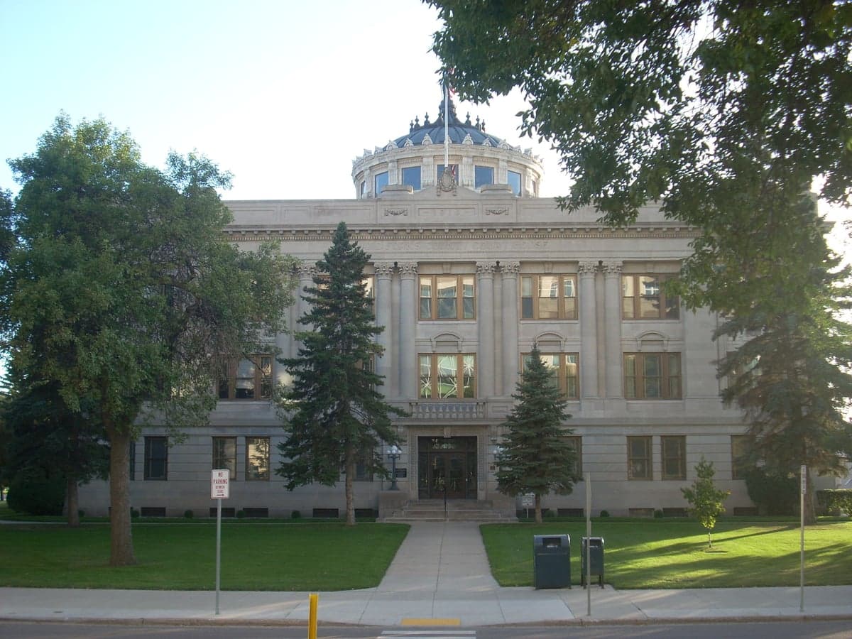
Photo: Wikipedia
Strategic Assessment of Grand Forks County
Workable tactical position. Some exposure to population density or targets, but generally defensible in a crisis.
What does the Strategic Assessment tell us?
Our Strategic Assessment grades tactical survivability of an area. Major population centers, military targets, fallout zones, natural disasters, and border exposure all drive risk — lower exposure means a more defensible position in a crisis.
This is heavily inspired by Joel Skousen's Strategic Relocation book. Highly recommended you checkout the book ($)What does this tell us?
Our Strategic Assessment grades tactical survivability of an area. Major population centers, military targets, fallout zones, natural disasters, and border exposure all drive risk — lower exposure means a more defensible position in a crisis.
This is heavily inspired by Joel Skousen's Strategic Relocation book. Highly recommended you checkout the book ($)Strategic Pillars

Key Distances
Strategic Assessment Analysis
Grand Forks County offers a compelling strategic position for those prioritizing resilience and self-sufficiency, anchored by the city of Grand Forks itself and the surrounding rural landscape. Its location in the Red River Valley provides a unique blend of agricultural productivity and relative isolation from major metropolitan corridors, while the presence of Grand Forks Air Force Base adds a layer of infrastructure and community stability. For a relocator weighing disaster readiness, the county presents a mixed picture: strong practical advantages in food and water security, but notable exposure to specific natural and man-made risks that require honest assessment.
Geographic position and natural advantages for long-term stability
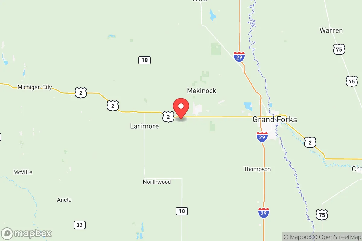
Grand Forks County sits in the flat, fertile Red River Valley, a region that is both a blessing and a strategic consideration. The county's primary asset is its distance from major population centers—it lies roughly 75 miles from Fargo and over 300 miles from Minneapolis, placing it well outside the immediate fallout zones of any major metropolitan target. The surrounding landscape is predominantly agricultural, with vast fields of wheat, soybeans, and sugar beets that form the backbone of local food production. The Red River itself, along with the English Coulee and Turtle River, provides a reliable surface water source, though treatment is necessary for potable use. The area's flat terrain offers clear lines of sight, which can be advantageous for security, but also means limited natural cover. The county's position in the northern plains also means cold winters and significant snowfall, which can be a resilience factor—harsh winters naturally reduce population mobility and can deter casual threats, but they also demand robust heating and shelter preparations. The proximity to the Canadian border, about 90 miles north, offers a potential secondary egress route, though crossing requires documentation and planning.
Risks, exposures, and proximity to fallout-relevant landmarks
The most significant risk for Grand Forks County is its proximity to Grand Forks Air Force Base, a major strategic asset that houses the 319th Reconnaissance Wing and operates RQ-4 Global Hawk drones. While the base provides economic stability and a skilled population, it is a clear high-value target in any conflict scenario, placing the entire county within a potential primary or secondary fallout zone. The base is located just west of the city of Grand Forks, meaning the urban core and surrounding communities like East Grand Forks (across the river in Minnesota) are within a few miles of the installation. Additionally, the county is situated within the broader missile field of the 91st Missile Wing at Minot Air Force Base, roughly 150 miles west, which could expose the area to fallout from a strike on that facility. The Red River itself poses a recurring natural risk: the valley is prone to catastrophic spring flooding, as seen in the 1997 and 2009 floods, which can overwhelm infrastructure and force evacuations. Tornadoes are a seasonal threat, though the flat terrain makes them visible from a distance. On the positive side, there are no major refineries, nuclear power plants, or large chemical storage facilities within the county, reducing the risk of industrial accidents. The nearest major refinery is in Mandan, North Dakota, over 200 miles away.
Practical resilience for a relocator: food, water, energy, and defensibility
For a relocator focused on self-sufficiency, Grand Forks County offers strong fundamentals. Food security is excellent: the county is part of one of the most productive agricultural regions in the world, with local farmers' markets, co-ops, and direct-from-farm purchasing options readily available. The city of Grand Forks has multiple grocery stores and a thriving local food scene, but rural properties often have space for gardens and small livestock. Water access is reliable for those on well water, though testing for agricultural runoff is advisable. The Red River and its tributaries provide surface water, but filtration and boiling are necessary for safe consumption. Energy infrastructure is robust: the county is served by the Northern Municipal Power Agency and Xcel Energy, with a mix of coal, natural gas, and wind power. The flat terrain is ideal for small-scale solar and wind installations, and many rural properties already have backup generators. Defensibility is moderate: the open landscape offers little natural cover, but rural properties with good sight lines and perimeter fencing can be secured. The county's population density is low—about 40 people per square mile in the rural areas—which reduces competition for resources in a crisis. The city of Grand Forks itself has a population of around 55,000, providing a base of services and community, but also a concentration of people that could become a liability. The presence of the University of North Dakota adds a transient population that could strain resources in an emergency.
The overall strategic picture for Grand Forks County is one of cautious optimism for the prepared relocator. Its agricultural abundance, low population density, and distance from major metropolitan targets are genuine advantages. The primary vulnerability—proximity to Grand Forks Air Force Base—is a non-negotiable risk that must be weighed against the benefits. For those willing to invest in flood mitigation, cold-weather preparedness, and a solid security plan, the county offers a viable long-term base. The key is to choose a location deliberately: rural properties west or south of the city, away from the base and the river's floodplain, provide the best balance of access to resources and reduced exposure. The county's infrastructure is solid, its community is self-reliant, and its location in the northern plains offers a buffer that many other regions lack. For a family or individual serious about resilience, Grand Forks County is a strong candidate—provided the risks are understood and actively managed.

* Values derived from national, state, county, city and local statistics and may differ in a specific area. Last updated: 2026-07-10T08:12:10.000Z
Narrative content on this page is AI-generated and may contain mistakes. Verify any details that matter before acting on them.
ReloMaps may earn a commission from affiliate links at no extra cost to you.

