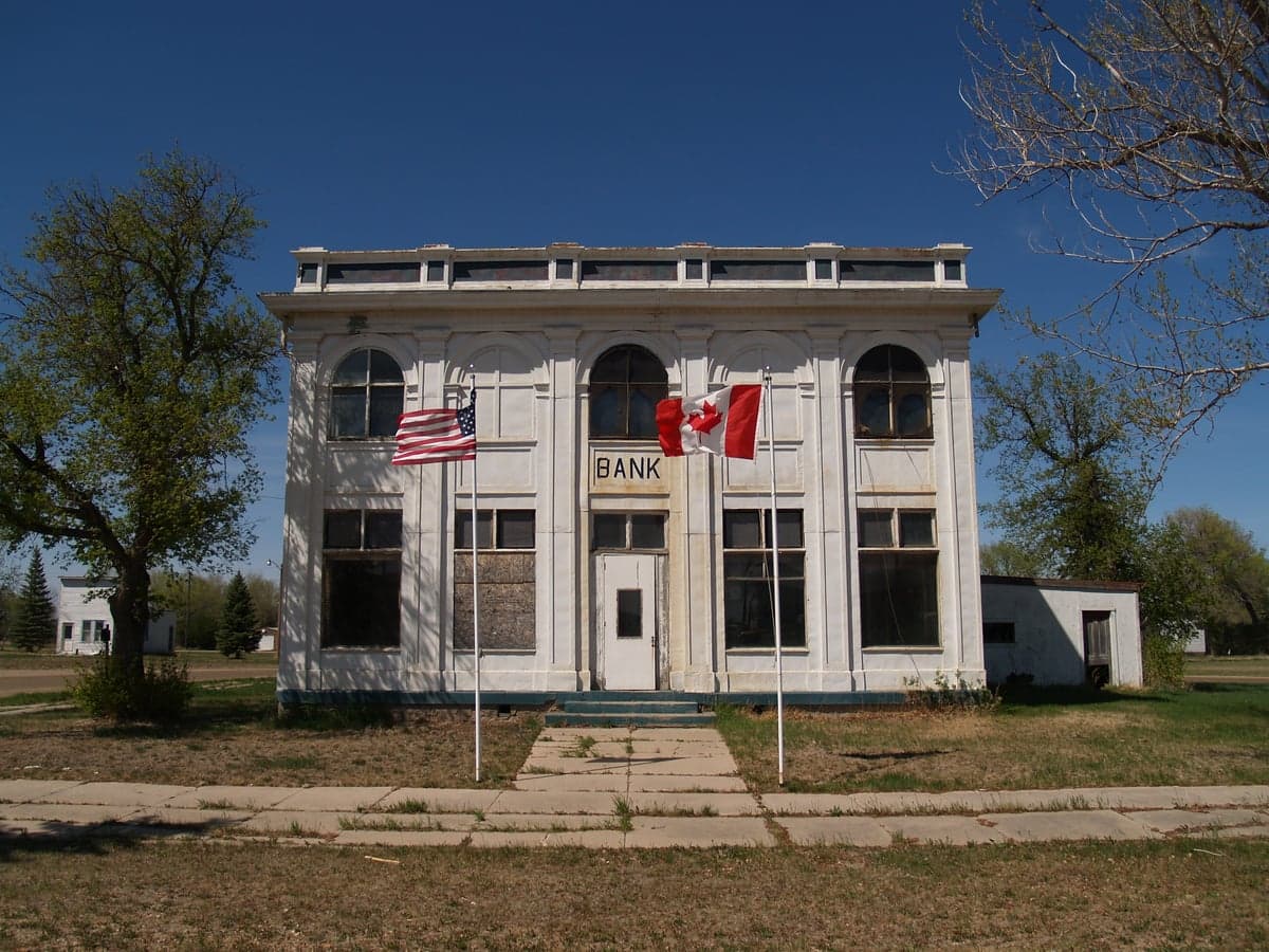
Photo: Wikipedia
Strategic Assessment of Bottineau County
Strong survivability profile. Good buffer from population centers, with manageable environmental and tactical risks.
What does the Strategic Assessment tell us?
Our Strategic Assessment grades tactical survivability of an area. Major population centers, military targets, fallout zones, natural disasters, and border exposure all drive risk — lower exposure means a more defensible position in a crisis.
This is heavily inspired by Joel Skousen's Strategic Relocation book. Highly recommended you checkout the book ($)What does this tell us?
Our Strategic Assessment grades tactical survivability of an area. Major population centers, military targets, fallout zones, natural disasters, and border exposure all drive risk — lower exposure means a more defensible position in a crisis.
This is heavily inspired by Joel Skousen's Strategic Relocation book. Highly recommended you checkout the book ($)Strategic Pillars

Key Distances
Strategic Assessment Analysis
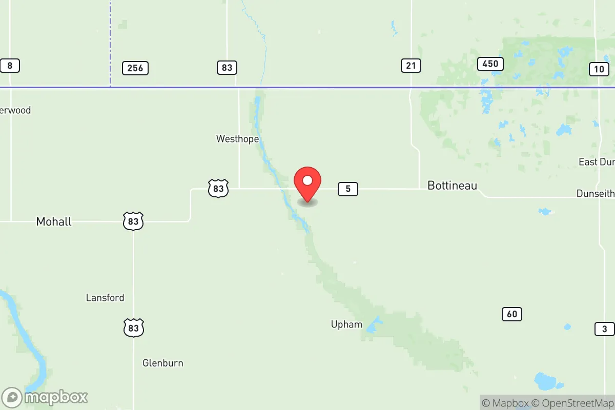
Bottineau County, North Dakota, offers a compelling strategic profile for those prioritizing resilience and self-sufficiency, anchored by its remote location along the Canadian border and its distance from major metropolitan targets. The county’s seat, Bottineau, sits roughly 15 miles south of the international boundary, placing it far from the high-risk corridors of the U.S. interior while still providing access to essential services and trade routes. This positioning, combined with a sparse population density of about 6 people per square mile, creates a natural buffer against both cascading infrastructure failures and the immediate fallout risks associated with larger population centers.
Geographic position and natural advantages for long-term stability
The county’s location within the Turtle Mountain region provides a distinct topographical advantage, with rolling hills and forested areas that offer both visual screening and microclimate benefits for agriculture and water retention. The nearby Turtle Mountain State Forest and the J. Clark Salyer National Wildlife Refuge to the west represent significant undeveloped land buffers, reducing the likelihood of encroaching development or industrial accidents. The proximity to Lake Metigoshe and the Souris River watershed provides reliable freshwater sources, a critical asset for any long-term resilience plan. Unlike many plains counties, Bottineau’s mixed woodland and prairie terrain supports diverse wildlife, including deer, waterfowl, and small game, which could supplement food supplies in a prolonged disruption. The county’s position along U.S. Route 83 and North Dakota Highway 5 offers practical evacuation or supply routes north into Canada (via the Northgate and Sherwood border crossings) or south toward Minot, though the latter is a double-edged sword given Minot’s strategic assets.
Risks, exposures, and proximity to fallout-relevant landmarks
While Bottineau County avoids the high-density threats of the eastern seaboard or the Gulf Coast, it is not without exposure. The most significant man-made risk comes from Minot Air Force Base, located approximately 60 miles south of Bottineau. This base houses both B-52 bombers and nuclear-capable missile silos, making it a potential primary target in a conflict scenario. The county lies within the outer fallout plume zone for a strike on Minot, though prevailing winds typically blow from the west, reducing direct contamination risk for most of the county. Additionally, the Canadian oil sands operations in Alberta and the Bakken shale fields to the west introduce industrial accident risks, including pipeline ruptures or refinery fires, though these are localized and unlikely to affect the county directly. Natural hazards are minimal compared to coastal regions: tornadoes are rare in this part of the state, and the county’s elevation (1,500–2,000 feet) provides a buffer against flooding, though the Souris River can experience spring ice-jam flooding in low-lying areas near Westhope and Newburg. The county’s distance from major rail hubs and interstate highways reduces the risk of cascading infrastructure failures from derailments or highway accidents.
Practical resilience for a relocator: food, water, energy, and defensibility
For a family or individual serious about self-sufficiency, Bottineau County offers strong fundamentals. Agriculture dominates the local economy, with wheat, canola, and barley as primary crops, and livestock operations (cattle and hogs) are common. This means local food production is robust, and small-scale farming or gardening is feasible given the growing season (roughly 110–120 frost-free days) and fertile loam soils. Water access is generally reliable via private wells, though drilling depths can vary (typically 100–300 feet), and the Bottineau Municipal Water System provides treated surface water from Lake Metigoshe for those in town. Energy infrastructure is stable: the county is served by Verendrye Electric Cooperative and Xcel Energy, with natural gas available in Bottineau and larger towns. Off-grid solar is viable given the region’s 200+ sunny days per year, though winter snow cover can reduce panel efficiency. Defensibility is a mixed picture: the county’s low population density and dispersed settlement pattern make it difficult for any large-scale threat to concentrate, but the open terrain in the southern half of the county offers limited cover. The Turtle Mountain area provides natural choke points and elevated vantage points, while the border crossings at Northgate and Sherwood could serve as controlled entry points if needed. Community cohesion is a real asset here—Bottineau County has a strong tradition of mutual aid, with volunteer fire departments, church networks, and local co-ops providing a social safety net that would be critical in a crisis.
Overall, Bottineau County presents a balanced strategic picture for the resilience-minded relocator. Its greatest strengths are its remoteness, abundant natural resources, and low target value relative to urban centers or military installations. The primary vulnerability is the proximity to Minot Air Force Base, which introduces a non-trivial risk that must be weighed against the county’s many advantages. For those willing to accept that calculated risk, the county offers a viable long-term base for self-sufficient living, with the added benefit of a supportive rural community and access to Canadian resources if needed. The key is to establish a well-stocked, defensible property in the northern half of the county, ideally near the Turtle Mountain forest, to maximize both natural cover and distance from the southern threat corridor.

* Values derived from national, state, county, city and local statistics and may differ in a specific area. Last updated: 2026-11-15T23:20:11.000Z
Narrative content on this page is AI-generated and may contain mistakes. Verify any details that matter before acting on them.
ReloMaps may earn a commission from affiliate links at no extra cost to you.

