
Photo: Wikipedia
Strategic Assessment of Barnes County
Strong survivability profile. Good buffer from population centers, with manageable environmental and tactical risks.
What does the Strategic Assessment tell us?
Our Strategic Assessment grades tactical survivability of an area. Major population centers, military targets, fallout zones, natural disasters, and border exposure all drive risk — lower exposure means a more defensible position in a crisis.
This is heavily inspired by Joel Skousen's Strategic Relocation book. Highly recommended you checkout the book ($)What does this tell us?
Our Strategic Assessment grades tactical survivability of an area. Major population centers, military targets, fallout zones, natural disasters, and border exposure all drive risk — lower exposure means a more defensible position in a crisis.
This is heavily inspired by Joel Skousen's Strategic Relocation book. Highly recommended you checkout the book ($)Strategic Pillars

Key Distances
Strategic Assessment Analysis
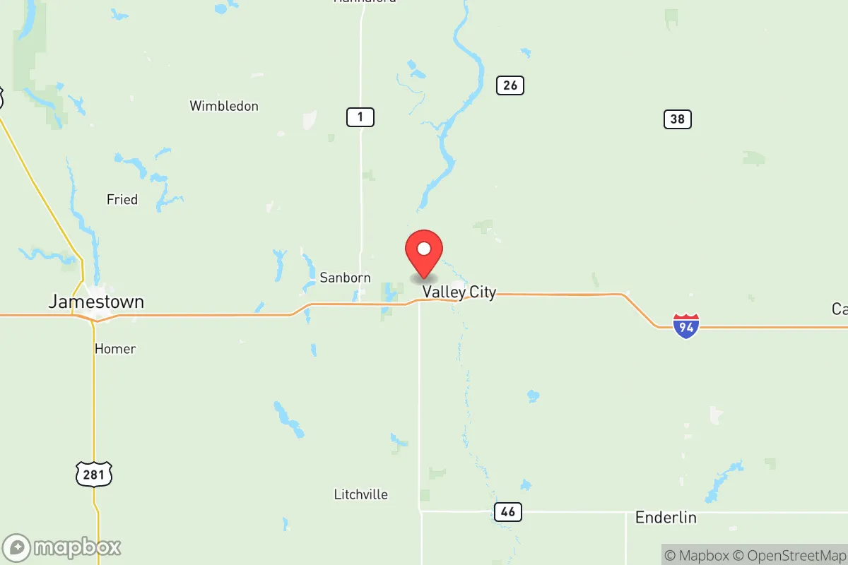
Barnes County, North Dakota, offers a compelling strategic profile for relocators prioritizing resilience, self-sufficiency, and distance from major metropolitan vulnerabilities. Anchored by the city of Valley City and bisected by Interstate 94, the county combines a low population density—roughly 11,000 residents spread over 1,500 square miles—with access to the Sheyenne River and the region's rich agricultural infrastructure. For a reader weighing disaster readiness and long-term stability, Barnes County presents a balanced mix of geographic insulation, natural resource availability, and practical defensibility, though it is not without its own exposure to regional risks.
Geographic position and natural advantages for long-term stability
Barnes County sits in the heart of the Red River Valley region, roughly 60 miles west of Fargo and 90 miles east of Bismarck. This placement offers a meaningful buffer from the concentrated populations and industrial targets of larger cities while still providing reasonable access to medical and supply hubs. The county's topography is predominantly flat to gently rolling prairie, which simplifies construction, road maintenance, and agricultural use. The Sheyenne River, which flows through Valley City and the Sheyenne National Grassland to the south, provides a reliable surface water source and supports a robust aquifer system beneath much of the county. This water availability is a significant advantage for relocators planning long-term self-sufficiency, as many parts of the Great Plains face chronic groundwater depletion. The region's cold continental climate, with average January lows around 0°F, also acts as a natural deterrent to pest-borne diseases and reduces the year-round viability of many biological threats. The growing season, while short (roughly 120–130 days), is sufficient for cold-hardy crops and livestock grazing, and the county's soils are among the most productive in the state for wheat, corn, soybeans, and sunflowers.
Risks, exposures, and proximity to fallout-relevant landmarks
While Barnes County is far removed from the highest-risk zones, it is not immune to man-made and natural hazards. The most significant fallout-relevant landmark within the county is the Valley City State University campus, a small public institution that would be a low-priority target but could attract secondary attention in a widespread conflict. More critically, the county lies within 150 miles of Grand Forks Air Force Base (home to Global Hawk and future Sentinel ICBM operations) and Minot Air Force Base (nuclear-capable bomber and missile forces), both of which are high-priority strategic targets. In a major exchange, fallout plumes from strikes on these bases could drift over Barnes County depending on wind patterns, though the county's distance reduces the likelihood of direct blast effects. Additionally, the Spiritwood Energy Park near Jamestown, about 40 miles west, includes a natural gas-fired power plant and an ethanol facility; while not a primary nuclear target, an industrial accident or sabotage at such a site could pose localized hazards. On the natural disaster front, the county experiences occasional severe thunderstorms, hail, and tornadoes—North Dakota averages 20–30 tornadoes per year, with Barnes County in the moderate-risk zone. Blizzards and extreme cold are annual realities, and the Sheyenne River has a history of spring flooding, particularly in low-lying areas of Valley City. The 2009 flood, which damaged over 100 homes and caused millions in damage, is a reminder that water management requires active planning.
Practical resilience for a relocator: food, water, energy, and defensibility
For a relocator serious about self-sufficiency, Barnes County offers strong fundamentals. Food production is the county's standout asset: it sits in one of the most productive agricultural regions in the United States. Local farmers produce wheat, corn, soybeans, sunflowers, and hay, and there is a well-established network of grain elevators, co-ops, and livestock operations. Small-scale farming and gardening are feasible on most rural parcels, and the county's extension service through North Dakota State University provides practical guidance on cold-climate growing. Water access is above average for the Plains: the Sheyenne River and the underlying Dakota Aquifer supply most rural wells, and Valley City's municipal water system draws from the river with treatment capacity sufficient for the local population. For off-grid setups, shallow wells (typically 50–150 feet) are common and affordable. Energy infrastructure is stable but centralized: the county is served by Otter Tail Power Company and Sheyenne Valley Electric Cooperative, with power primarily coming from coal and natural gas plants in the region. Solar potential is moderate—North Dakota averages about 4.5 peak sun hours per day in summer, less in winter—but wind resources are excellent, and small-scale wind turbines are a viable supplement. Defensibility is a mixed picture: the open terrain offers long sightlines but limited natural cover, meaning a rural homestead would be visible from considerable distance. However, the low population density (roughly 7 people per square mile) and the prevalence of farm-to-market roads mean that a relocator can choose a property with limited access points and good visibility. The county seat of Valley City has a local police department and a sheriff's office, but response times in remote areas can exceed 20 minutes. For those prioritizing community resilience, the area has a strong tradition of mutual aid among farming families and active church and volunteer networks, particularly in towns like Litchville, Wimbledon, and Rogers.
Overall, Barnes County presents a solid strategic option for the resilience-minded relocator who values agricultural self-sufficiency, water availability, and distance from high-risk urban and military targets. Its primary weaknesses are the cold climate, which imposes real costs on heating and food storage, and the moderate risk of fallout from strikes on Grand Forks or Minot Air Force bases. For a family or individual willing to invest in cold-weather infrastructure, develop local community ties, and maintain a reasonable stockpile of supplies, the county offers a defensible, resource-rich base of operations. It is not a bunker—no place in the continental U.S. truly is—but it is a place where a prepared person can build a sustainable, independent life with a realistic understanding of the risks involved.

* Values derived from national, state, county, city and local statistics and may differ in a specific area. Last updated: 2026-06-22T19:24:16.000Z
Narrative content on this page is AI-generated and may contain mistakes. Verify any details that matter before acting on them.
ReloMaps may earn a commission from affiliate links at no extra cost to you.

