Photo: Wikipedia
Strategic Assessment of Nineveh, NY
Meaningful friction. Expect exposure to either population pressure, blast zones, or natural disaster risk. Consider buying a retreat property.
What does the Strategic Assessment tell us?
Our Strategic Assessment grades tactical survivability of an area. Major population centers, military targets, fallout zones, natural disasters, and border exposure all drive risk — lower exposure means a more defensible position in a crisis.
This is heavily inspired by Joel Skousen's Strategic Relocation book. Highly recommended you checkout the book ($)What does this tell us?
Our Strategic Assessment grades tactical survivability of an area. Major population centers, military targets, fallout zones, natural disasters, and border exposure all drive risk — lower exposure means a more defensible position in a crisis.
This is heavily inspired by Joel Skousen's Strategic Relocation book. Highly recommended you checkout the book ($)Strategic Pillars

Key Distances
Regional Safe Places
Below is our recommended "safe zones" in New York and the surrounding area based on our strategic heuristics. For most people, it's unrealistic to live in a “safe zone” full-time due to work, family or other personal reasons. They tend to be more rural. However, many of these areas are perfect for second homes and retreat properties that double as a vacation home or even a short-term rental.




Important Note: For informational purposes only. This does not mean nothing bad ever happens in the green zones. Please use common sense. This is based on public data and modeled with AI. We tried to take a conservative approach but mistakes happen. We update this regularly as new information becomes available.
Solar Generator Recommendations
Backup power matters more here than in safer locations. We've picked three solar generators across budgets and capacity tiers — start with the budget unit if you only need a few essentials, or step up if you want to run a fridge and HVAC for days at a time.

Jackery Portable Power Station Explorer 300
Budget OptionPower on the Go: Weighing only 11 lbs, it's convenient to set up and store with book-sized foldable solar panels

BLUETTI Portable Power Station AC180
Designed for both indoor and outdoor scenarios, AC180 is highly capable as it has a robost capacity and continuous output power.

EF ECOFLOW DELTA Pro Ultra Power Station
Upgraded PickEcoFlow DELTA Pro Ultra is a whole-home energy system designed to grow with your family. Integrated with the Smart Home Panel 2, it scales to meet your evolving energy needs — keeping your home powered, intelligent, and secure through every stage of life.
We earn a commission, at no additional cost to you.
Strategic Assessment Analysis
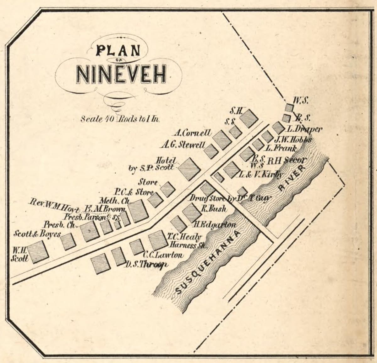
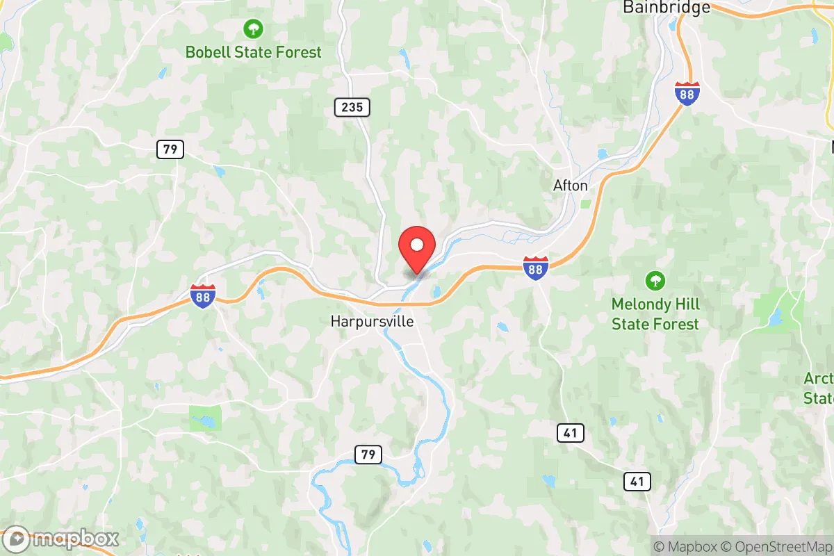
Nineveh, New York, offers a compelling strategic profile for those prioritizing resilience and self-sufficiency, largely due to its position in the rural Southern Tier, well away from major metropolitan corridors and high-value targets. Located in Broome County along the Susquehanna River, the hamlet sits roughly 25 miles east of Binghamton and 40 miles west of the New York-Pennsylvania border, placing it in a zone that benefits from relative isolation without being completely cut off from supply routes or medical infrastructure. Its low population density, wooded terrain, and distance from interstate highways make it a location where a prepared individual or family could realistically establish a sustainable, low-profile existence.
Geographic position and natural advantages for long-term stability
Nineveh’s primary strategic asset is its location within the Appalachian foothills, a region characterized by steep ridges, dense forests, and limited through-traffic. The hamlet itself sits in a valley carved by the Susquehanna River, which provides a reliable water source and fertile bottomland for small-scale agriculture. The surrounding hills offer natural defensibility—approaches are limited to a handful of two-lane roads (primarily NY-7 and a few county routes), making it easy to monitor or restrict access. The area’s distance from major population centers is a double-edged sword: it reduces exposure to civil unrest or fallout from a distant event, but it also means emergency services are sparse. The nearest hospital is in Binghamton (UHS Wilson Medical Center), about a 35-minute drive under normal conditions. For a relocator, the key advantage is that Nineveh sits in a “donut hole” of low strategic value—far from the Albany-Schenectady-Troy corridor, the New York City metro, and the I-81 spine that runs through Syracuse and Scranton. This reduces the likelihood of being caught in a mass evacuation or targeted in a conflict scenario.
Risks, exposures, and proximity to fallout-relevant landmarks
While Nineveh avoids the highest-risk zones, it is not without exposure. The most significant man-made risk is the proximity to the Susquehanna Steam Electric Station, a nuclear power plant located just 12 miles downstream in Berwick, Pennsylvania. This plant, which uses two boiling water reactors, is a potential source of radiological release in a catastrophic failure or targeted attack. Prevailing winds in the region generally blow from the west, which would carry a plume toward the east-northeast—potentially toward Nineveh depending on the exact weather pattern. A relocator should have a pre-planned evacuation route east toward the Catskills or north toward the Adirondacks, and maintain a supply of potassium iodide and a dosimeter. Additionally, the Susquehanna River itself poses a flood risk; the area experienced significant flooding during Tropical Storm Lee in 2011 and again in 2013, with water levels in low-lying parts of the hamlet reaching several feet. Properties on higher ground (above the 100-year floodplain) are strongly recommended. On the plus side, Nineveh is far from any major military installations, chemical plants, or rail hubs that would be primary targets in a conflict. The nearest interstate (I-81) is 20 miles west, and the closest major airport (Greater Binghamton) is 30 miles away—close enough for supply runs but far enough to avoid the chaos of a major transportation node.
Practical resilience for a relocator: food, water, energy, and defensibility
For a family or individual serious about self-sufficiency, Nineveh offers a workable baseline. The Susquehanna River provides a year-round water source, but it requires treatment—boiling, filtration, or chemical purification—due to agricultural runoff and upstream industrial activity. A deep well on a property with a hand pump is a more reliable long-term solution; the water table in the valley is generally high (20-40 feet), making hand-dug wells feasible. The growing season is short (roughly 140 frost-free days), but the fertile river-bottom soil supports corn, beans, squash, and root vegetables. Deer, turkey, and small game are abundant in the surrounding state forests (e.g., Oquaga Creek State Park and the Broome County Forest), providing a protein source for those with hunting skills. For energy, the region’s forested hills make wood heat the most practical off-grid option; a cord of seasoned hardwood costs around $250 locally, and a well-insulated home can get through a winter on 4-6 cords. Solar is viable but limited by the area’s frequent cloud cover (roughly 60% overcast days in winter), so a hybrid system with a small wind turbine or a backup generator is advisable. Defensibility is moderate: the valley floor is open, but the surrounding ridges offer natural chokepoints. A property with a long driveway, a cleared perimeter, and a view of the main road would be ideal. The local population is sparse and generally rural-minded, which reduces the risk of looting or social breakdown, but it also means you cannot rely on neighbors for immediate help. Building a relationship with a few nearby homesteaders is a practical step.
Overall, Nineveh presents a balanced strategic picture for the disaster-conscious relocator. It avoids the high-risk zones of major cities, nuclear targets, and transportation corridors, while still offering access to a river, forest resources, and a low population density that supports a quiet, self-reliant lifestyle. The main trade-offs are the flood risk in the valley, the proximity to a nuclear plant 12 miles downstream, and the short growing season that limits year-round food production. For a family willing to invest in a well, a wood stove, and a solid evacuation plan, Nineveh provides a defensible, low-profile base that is close enough to civilization for resupply but far enough to ride out most disruptions. It is not a bug-out location for a doomsday prepper—it is a practical, livable place for someone who wants to be prepared without living in a bunker.

* Values derived from national, state, county, city and local statistics and may differ in a specific area. Last updated: 2026-09-20T21:52:39.000Z
Narrative content on this page is AI-generated and may contain mistakes. Verify any details that matter before acting on them.
ReloMaps may earn a commission from affiliate links at no extra cost to you.

