Photo: Wikipedia
Strategic Assessment of Steuben County
Meaningful friction. Expect exposure to either population pressure, blast zones, or natural disaster risk. Consider buying a retreat property.
What does the Strategic Assessment tell us?
Our Strategic Assessment grades tactical survivability of an area. Major population centers, military targets, fallout zones, natural disasters, and border exposure all drive risk — lower exposure means a more defensible position in a crisis.
This is heavily inspired by Joel Skousen's Strategic Relocation book. Highly recommended you checkout the book ($)What does this tell us?
Our Strategic Assessment grades tactical survivability of an area. Major population centers, military targets, fallout zones, natural disasters, and border exposure all drive risk — lower exposure means a more defensible position in a crisis.
This is heavily inspired by Joel Skousen's Strategic Relocation book. Highly recommended you checkout the book ($)Strategic Pillars

Key Distances
Strategic Assessment Analysis
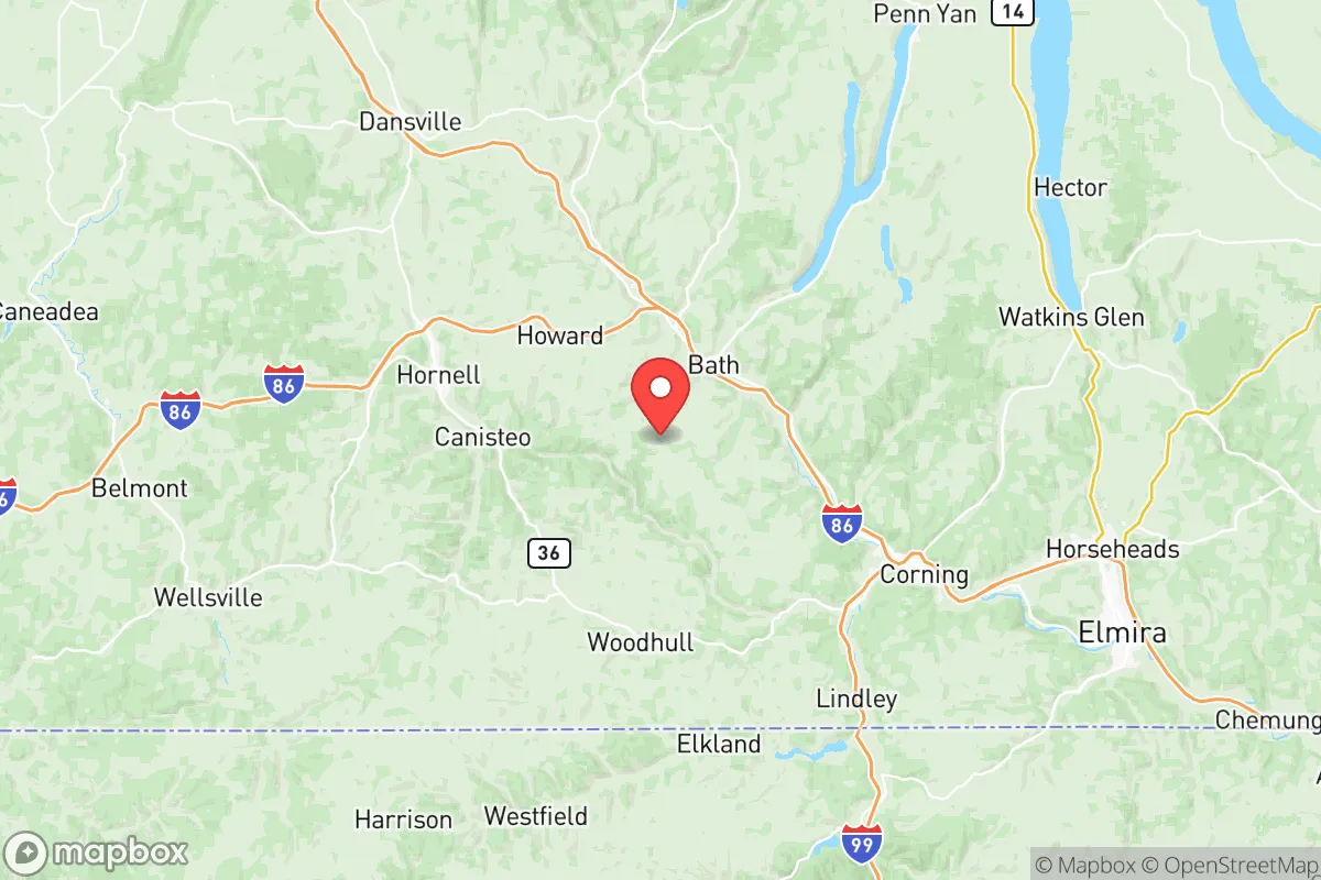
Steuben County, New York, occupies a strategic position in the Southern Tier that offers a compelling mix of geographic isolation and practical self-sufficiency for relocation-minded individuals and families. Located roughly equidistant from the major population centers of Rochester, Syracuse, and the Pennsylvania border, the county provides a buffer from the immediate fallout zones of large cities while retaining access to essential infrastructure. The county seat of Bath and the largest town of Corning anchor a region defined by the Finger Lakes to the north and the Appalachian foothills to the south, creating a landscape that naturally limits large-scale threats while supporting long-term resilience.
Geographic position and natural advantages for long-term stability
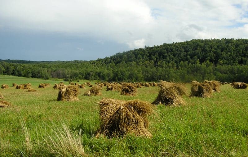
Steuben County sits in a topographically diverse region that offers several inherent defensive advantages. The county is bisected by the Cohocton River and the Canisteo River valleys, with the land rising into steep hills and forested ridges that provide natural barriers against both weather extremes and human-caused disruptions. The presence of the Finger Lakes National Forest to the north and the vast state forests like the Erwin Hollow State Forest and Pigtail Hollow State Forest offer extensive timber resources and wildlife habitat for those planning for extended self-sufficiency. The county's elevation, averaging around 1,200 feet, places it above the flood-prone lowlands of the Chemung River Valley to the east, reducing the risk of catastrophic flooding that affects communities like Elmira. The region's abundant annual rainfall of roughly 35 inches supports reliable agriculture and natural water sources, a critical advantage over drier parts of the country. For a relocator, the ability to tap into the Finger Lakes aquifer system or draw from the many small streams and ponds scattered across the county provides a baseline water security that is hard to match in more arid or overdeveloped regions.
Risks, exposures, and proximity to fallout-relevant landmarks
While Steuben County is far from the direct blast zones of major metropolitan areas, it is not without exposure to man-made and natural risks that a strategic relocator must weigh. The most significant concern is the Corning Incorporated headquarters and manufacturing complex in the town of Corning, which produces specialty glass and ceramics for defense, aerospace, and telecommunications. This facility, while a major employer, also represents a potential target for industrial accidents or targeted disruptions, though it is not a nuclear or chemical weapons facility. The county is also within 50 miles of the Watkins Glen International racetrack and the nearby Montour Falls area, which host large seasonal gatherings that could strain local resources during a crisis. More critically, the county lies within the 200-mile fallout shadow of the New York City metropolitan area, meaning that a major nuclear event in the NYC region could deposit light radioactive particles across the Southern Tier, depending on wind patterns. The Finger Lakes region's prevailing westerly winds generally push fallout eastward, but a shift could expose the county to contamination from the Indian Point Energy Center (now decommissioned but still containing spent fuel) or the Nine Mile Point Nuclear Station near Oswego, roughly 100 miles north. Natural risks include occasional severe winter storms that can drop 60-80 inches of snow annually in the higher elevations, and the potential for ice storms that can knock out power for days or weeks. The county's hilly terrain also creates localized landslide risks on steep slopes, particularly after heavy rain.
Practical resilience for a relocator: food, water, energy, and defensibility
For a family or individual serious about self-sufficiency, Steuben County offers a strong foundation in the four pillars of practical resilience. Food production is viable across much of the county, with the fertile valleys of the Cohocton and Canisteo rivers supporting dairy farms, corn, soybeans, and hay. The Bath Farmers' Market and Corning Farmers' Market provide access to local produce, but more importantly, the county has a robust network of small-scale farms and homesteaders who can serve as knowledge resources. The Cornell Cooperative Extension of Steuben County offers workshops on gardening, food preservation, and livestock management. Water access is excellent: the county sits atop the Finger Lakes aquifer system, and many rural properties have access to private wells with reliable yields. The Cohocton River and Canisteo River are perennial streams that can be used for irrigation or emergency supply with proper treatment. Energy resilience is a mixed picture: the county is served by NYSEG, which has a mixed reliability record during storms, but the region's abundant forest biomass makes wood heating a practical primary or backup option. Solar potential is moderate due to cloud cover, but net metering is available through NYSEG, and several local installers operate in the area. Defensibility is one of the county's strongest attributes: the hilly terrain creates natural chokepoints on the few major roads (primarily NY-17, NY-15, and NY-21), and the low population density (roughly 95,000 residents across 1,400 square miles) means that a determined group could secure a rural homestead with relative ease. The county's sheriff's office in Bath maintains a visible presence, but response times in remote areas can exceed 30 minutes, making personal security planning essential.
The overall strategic picture for Steuben County is one of balanced opportunity with clear trade-offs. For a relocator prioritizing water security, agricultural potential, and geographic isolation, the county ranks among the better options in the Northeast. The presence of Corning Incorporated provides a stable economic anchor and access to high-tech manufacturing skills, but it also introduces a risk profile that a pure survivalist might avoid. The county's distance from major military installations like Fort Drum (120 miles north) and Fort Indiantown Gap (150 miles south) reduces the likelihood of direct military-related disruptions, but its position within the fallout shadow of the NYC metro area means that a major event would require a secondary relocation plan further west or north. The county's strong sense of community and active emergency management services in Bath and Corning provide a social safety net that is often lacking in more remote areas. For the family or individual who wants a defensible, resource-rich base with access to modern amenities and a realistic path to self-sufficiency, Steuben County represents a solid, if not perfect, strategic choice. The key is to secure a property with a reliable water source, a woodlot, and southern exposure for solar, and to build relationships with the local farming community before any crisis arrives.

* Values derived from national, state, county, city and local statistics and may differ in a specific area. Last updated: 2026-11-07T08:08:43.000Z
Narrative content on this page is AI-generated and may contain mistakes. Verify any details that matter before acting on them.
ReloMaps may earn a commission from affiliate links at no extra cost to you.

