Photo: Wikipedia
Strategic Assessment of Columbia County
Meaningful friction. Expect exposure to either population pressure, blast zones, or natural disaster risk. Consider buying a retreat property.
What does the Strategic Assessment tell us?
Our Strategic Assessment grades tactical survivability of an area. Major population centers, military targets, fallout zones, natural disasters, and border exposure all drive risk — lower exposure means a more defensible position in a crisis.
This is heavily inspired by Joel Skousen's Strategic Relocation book. Highly recommended you checkout the book ($)What does this tell us?
Our Strategic Assessment grades tactical survivability of an area. Major population centers, military targets, fallout zones, natural disasters, and border exposure all drive risk — lower exposure means a more defensible position in a crisis.
This is heavily inspired by Joel Skousen's Strategic Relocation book. Highly recommended you checkout the book ($)Strategic Pillars

Key Distances
Strategic Assessment Analysis
Columbia County, New York, offers a compelling mix of strategic depth and everyday livability for those prioritizing resilience and self-sufficiency, particularly for families and individuals who value a buffer from metropolitan chaos without total isolation. Its position in the upper Hudson Valley, roughly equidistant from Albany and the Massachusetts border, provides a rare combination of defensible geography, productive farmland, and access to critical infrastructure that makes it a serious contender for relocation. While no location is risk-free, the county’s natural advantages and practical resources give it a strong baseline for long-term preparedness, especially when compared to more exposed areas closer to New York City or the coast.
Geographic position and natural advantages for long-term security
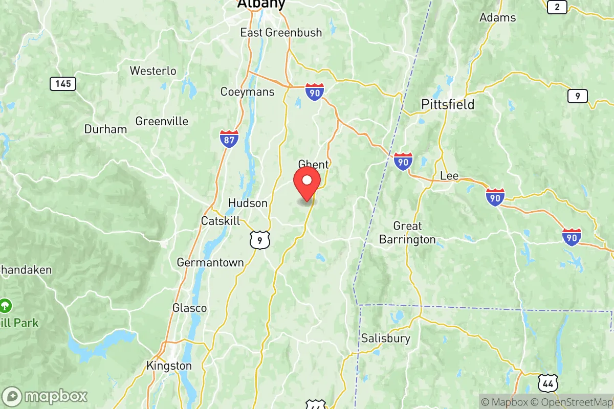
Columbia County sits on the east side of the Hudson River, with its terrain rising from the river valley into the Taconic Mountains. This topography creates natural defensibility: the county is bounded by the Hudson to the west and the state line to the east, with the Berkshire foothills providing a physical barrier that slows access from the coast. The county seat, Hudson, lies at the river’s edge, but most residential and agricultural land sits inland, away from major waterways and transit corridors. Towns like Chatham, Kinderhook, and Claverack are set back from the river, offering elevation and seclusion. The region’s climate is temperate, with reliable rainfall and a growing season long enough for substantial food production—a key advantage for self-sufficiency. The county’s position also places it outside the immediate fallout zones of major targets like New York City (about 110 miles south) or Albany (30 miles north), though proximity to the state capital does introduce some risk.
Risks, exposures, and proximity to fallout-relevant landmarks
The primary man-made risk for Columbia County comes from its location within the broader Albany-Schenectady-Troy metropolitan area, which includes several potential targets. The Albany International Airport and the Port of Albany—a major hub for shipping, including road salt, grain, and occasionally military cargo—are about 30 miles north. The Knolls Atomic Power Laboratory in Niskayuna, roughly 35 miles northwest, is a nuclear research facility that could be a secondary target. Additionally, the Hudson River itself is a navigable waterway that could see increased barge traffic or serve as a contamination vector in a crisis. However, Columbia County’s distance from these sites—combined with prevailing winds that generally blow from the west—means that fallout patterns would likely push contamination away from the county’s eastern and southern areas. Natural risks are low: the region is not prone to earthquakes, hurricanes, or wildfires at the scale seen in the West. Flooding is the main concern, but it is largely confined to the Hudson River floodplain near Stockport and Stuyvesant, leaving the majority of the county’s elevated land safe. The Indian Point nuclear plant, once a major concern, was permanently shut down in 2021, removing a significant regional risk.
Practical resilience for a relocator: food, water, energy, and defensibility
Columbia County’s agricultural base is a standout feature for anyone serious about food security. The county has over 400 farms, producing dairy, vegetables, fruits, and livestock, with a strong network of farmers’ markets and CSAs in towns like Hudson, Chatham, and Valatie. The Columbia County Soil and Water Conservation District actively supports sustainable farming practices, and the region’s many orchards and vineyards offer a diversified food supply. Water resources are abundant: the county sits atop several aquifers, and surface water from the Hudson and its tributaries is plentiful, though treatment would be necessary for drinking. Many rural properties have private wells, which is a significant advantage over municipal systems that could fail in a grid-down scenario. Energy resilience is mixed. The county is served by National Grid and Central Hudson, but power outages from winter storms are common, making solar panels and backup generators a wise investment. The area’s wooded terrain provides ample firewood for heating, and the Greenport area has seen growth in small-scale solar installations. Defensibility is strong due to the county’s rural character: many properties are set back from main roads, with long driveways and natural tree cover providing privacy. The Taconic State Parkway and the New York State Thruway (I-87) run through the county, but local roads are narrow and winding, making them easy to monitor or block if needed. The county’s population density is low—about 63,000 residents spread over 648 square miles—which reduces competition for resources in a crisis.
The overall strategic picture for Columbia County is one of balanced opportunity. It offers a rare combination of productive land, defensible terrain, and proximity to essential services without the high-risk exposure of coastal or urban areas. For a relocator focused on resilience, the county’s agricultural capacity and water abundance are its strongest assets, while its distance from major targets like New York City and the Port of Albany provides a meaningful safety margin. The main trade-offs are the need for energy self-sufficiency and the reality that no location in the Northeast is entirely free from the risks of a major disruption. However, for those willing to invest in solar, well water, and food storage, Columbia County provides a solid foundation for long-term preparedness that is hard to match in the region. It is not a bug-out location for the paranoid, but a livable, productive community where resilience and normal life can coexist.

* Values derived from national, state, county, city and local statistics and may differ in a specific area. Last updated: 2026-09-08T12:50:19.000Z
Narrative content on this page is AI-generated and may contain mistakes. Verify any details that matter before acting on them.
ReloMaps may earn a commission from affiliate links at no extra cost to you.

