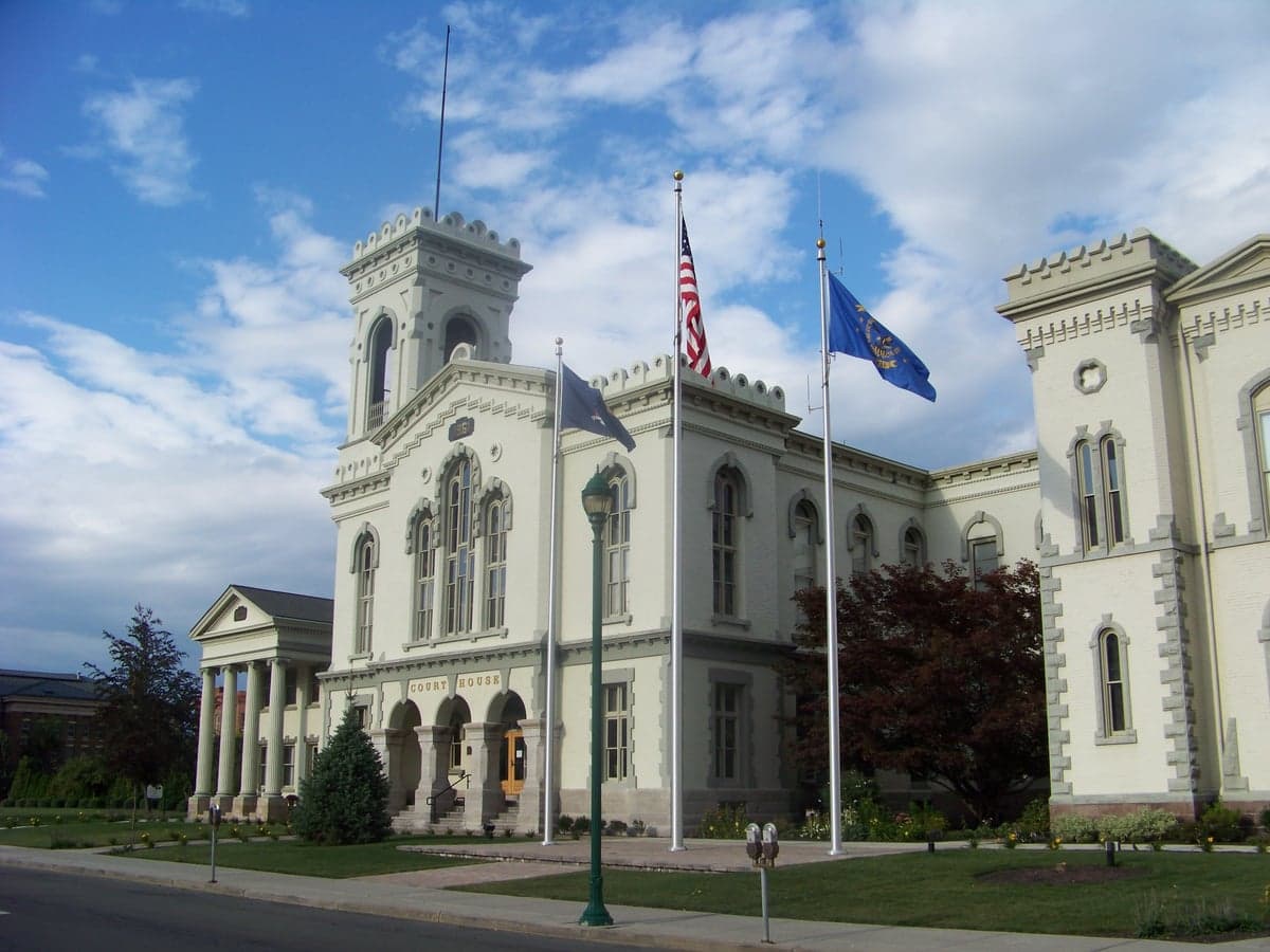
Photo: Wikipedia
Strategic Assessment of Chemung County
Meaningful friction. Expect exposure to either population pressure, blast zones, or natural disaster risk. Consider buying a retreat property.
What does the Strategic Assessment tell us?
Our Strategic Assessment grades tactical survivability of an area. Major population centers, military targets, fallout zones, natural disasters, and border exposure all drive risk — lower exposure means a more defensible position in a crisis.
This is heavily inspired by Joel Skousen's Strategic Relocation book. Highly recommended you checkout the book ($)What does this tell us?
Our Strategic Assessment grades tactical survivability of an area. Major population centers, military targets, fallout zones, natural disasters, and border exposure all drive risk — lower exposure means a more defensible position in a crisis.
This is heavily inspired by Joel Skousen's Strategic Relocation book. Highly recommended you checkout the book ($)Strategic Pillars

Key Distances
Strategic Assessment Analysis
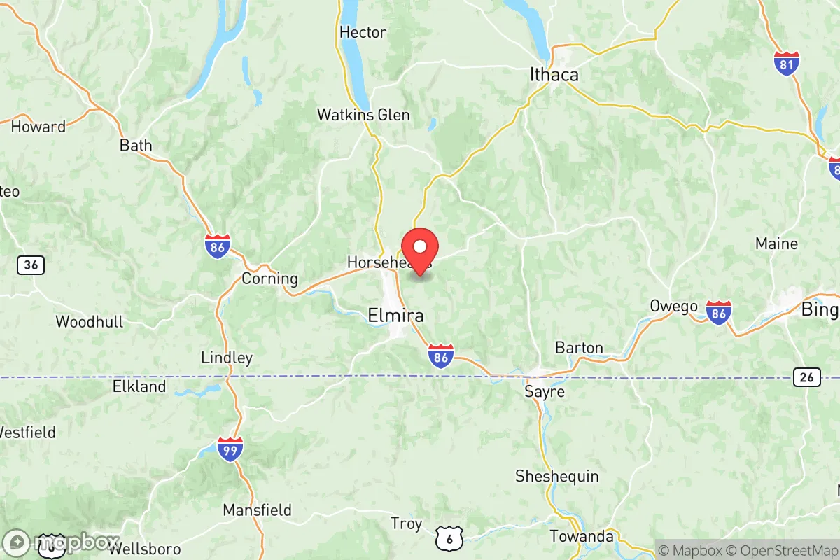
Chemung County, New York, offers a strategic blend of geographic isolation and practical self-sufficiency that appeals to relocation-minded individuals and families prioritizing resilience. Anchored by the city of Elmira, the county sits in the Southern Tier region, roughly 50 miles from the Pennsylvania border and 90 miles from Syracuse, placing it far from major metropolitan targets while still accessible to regional infrastructure. Its position along the Chemung River and within the Appalachian foothills provides natural defensibility and resource access, making it a viable option for those assessing long-term preparedness in a volatile world.
Geographic position and natural advantages for long-term resilience
Chemung County’s topography is a key asset. The county is carved by the Chemung River Valley, with steep hillsides and forested ridges that create natural chokepoints and limited ingress routes. This terrain makes large-scale movement difficult, offering a degree of physical security. The county is part of the larger Appalachian Plateau, which provides elevation advantages—many areas sit above 1,000 feet—reducing flood risk in upland zones while the valley floor remains vulnerable. The region’s climate is temperate, with four distinct seasons, adequate rainfall (averaging 35 inches annually), and a growing season of roughly 150 days, supporting small-scale agriculture. The nearby Finger Lakes region, particularly Seneca Lake and Cayuga Lake, are within a 45-minute drive, providing emergency water sources and fishing opportunities. The county’s location also places it outside the direct blast and fallout zones of major population centers like New York City (200 miles east) and Philadelphia (180 miles southeast), though it is within 100 miles of the New York-Pennsylvania border industrial corridor, including the Corning Incorporated glass and ceramics hub in neighboring Steuben County.
Risks, exposures, and proximity to fallout-relevant landmarks
While Chemung County avoids direct proximity to high-value targets like nuclear power plants or major military bases, it is not without exposure. The most significant man-made risk is the Elmira-Corning Regional Airport, which hosts a New York Air National Guard base (the 107th Attack Wing) operating MQ-9 Reaper drones. This facility, while not a primary strategic target, could be a secondary objective in a conflict. Additionally, the county lies within 50 miles of the Watkins Glen International racetrack and the Montour Falls area, which are not targets themselves but sit near the New York State Electric & Gas (NYSEG) substations in Horseheads and Big Flats—critical infrastructure that could be disrupted. The Chemung River itself poses a natural hazard: the county experienced catastrophic flooding in 1972 from Hurricane Agnes, and while modern levees and the Chemung River Basin Flood Control Project have mitigated risk, the valley floor remains flood-prone. The county’s industrial base is modest, with the largest employers being Arnot Health (hospital system) and Elmira College, meaning no large-scale chemical or nuclear facilities are present. However, the Horseheads Industrial Park houses light manufacturing and logistics, including a FedEx Ground hub, which could be a secondary target for economic disruption. The nearest major military installation is Fort Drum (home of the 10th Mountain Division) in Jefferson County, roughly 150 miles north, placing Chemung outside immediate ground-force staging areas.
Practical resilience for a relocator: food, water, energy, and defensibility
For a relocator focused on self-sufficiency, Chemung County offers a mixed but workable picture. Food security is supported by the county’s agricultural base: there are over 300 farms, primarily dairy, livestock, and row crops (corn, soybeans, hay). The Elmira Farmers Market operates year-round, and the Chemung County Soil and Water Conservation District provides resources for small-scale farming. The county’s deer population is robust, and the New York State Department of Environmental Conservation (DEC) manages public hunting lands, including the Connecticut Hill Wildlife Management Area (11,000 acres) in neighboring Tompkins County, accessible within 30 minutes. Water access is strong: the Chemung River and its tributaries (Newtown Creek, Seeley Creek) provide surface water, while groundwater is plentiful in the valley’s alluvial aquifers. However, reliance on municipal water in Elmira and Horseheads means a grid-down scenario would require private wells or rainwater catchment—many rural properties already have wells. Energy resilience is a concern: the county is served by NYSEG, with the Elmira Power Plant (a natural gas peaker plant) providing local generation, but the grid is vulnerable to ice storms and flooding. Solar potential is moderate due to cloud cover, but off-grid solar with battery storage is feasible for smaller homes. The county’s defensibility is its strongest suit: the hilly terrain and limited road network (primarily I-86, NY-14, and NY-17) create natural barriers. The Chemung County Sheriff’s Office and local police departments are small, but the county’s low population density (roughly 85,000 residents) means fewer people to compete for resources in a crisis. The Elmira Correctional Facility (a state prison) is a potential liability, as it houses 1,600 inmates and could become a security risk if infrastructure fails.
Overall, Chemung County presents a credible option for the resilience-minded relocator who values geographic isolation and natural resource access over proximity to urban amenities. Its location in the Appalachian foothills, away from major targets, provides a buffer against both natural and man-made disasters, while its agricultural base and water resources support long-term self-sufficiency. The primary trade-offs are the flood risk in the valley, the presence of a National Guard base, and the need for off-grid energy planning. For a family or individual willing to invest in well water, solar, and food storage, Chemung County offers a defensible, low-profile base in a region that is often overlooked by those focused on the more exposed corridors of the Northeast. The county’s strategic value lies in its balance of isolation and accessibility—close enough to regional resources (hospitals, supply routes) but far enough from the chaos of major population centers to provide a genuine retreat option.

* Values derived from national, state, county, city and local statistics and may differ in a specific area. Last updated: 2026-07-22T02:22:28.000Z
Narrative content on this page is AI-generated and may contain mistakes. Verify any details that matter before acting on them.
ReloMaps may earn a commission from affiliate links at no extra cost to you.

