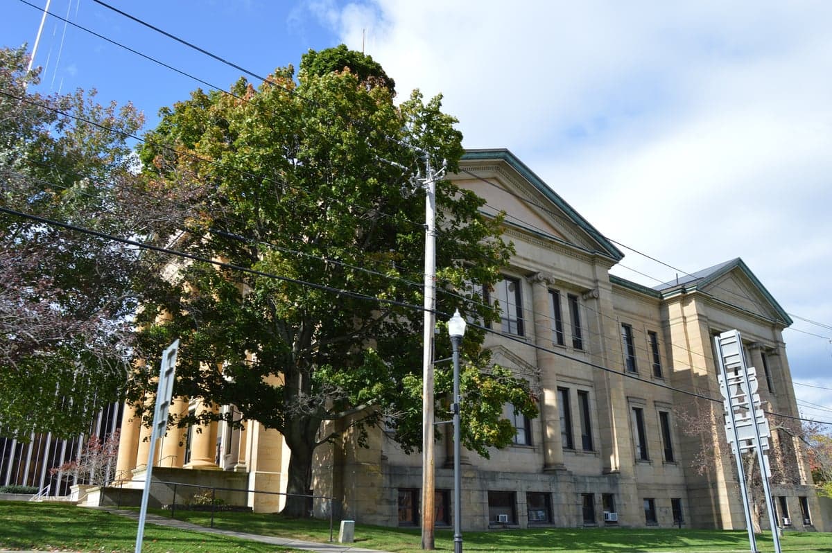
Photo: Wikipedia
Strategic Assessment of Chautauqua County
Meaningful friction. Expect exposure to either population pressure, blast zones, or natural disaster risk. Consider buying a retreat property.
What does the Strategic Assessment tell us?
Our Strategic Assessment grades tactical survivability of an area. Major population centers, military targets, fallout zones, natural disasters, and border exposure all drive risk — lower exposure means a more defensible position in a crisis.
This is heavily inspired by Joel Skousen's Strategic Relocation book. Highly recommended you checkout the book ($)What does this tell us?
Our Strategic Assessment grades tactical survivability of an area. Major population centers, military targets, fallout zones, natural disasters, and border exposure all drive risk — lower exposure means a more defensible position in a crisis.
This is heavily inspired by Joel Skousen's Strategic Relocation book. Highly recommended you checkout the book ($)Strategic Pillars

Key Distances
Strategic Assessment Analysis
Chautauqua County, New York, offers a compelling strategic position for relocators prioritizing resilience and self-sufficiency, combining a low population density with significant natural resources and a location that buffers it from the most acute risks of major metropolitan areas. Situated in the far southwestern corner of New York State, the county is anchored by the cities of Jamestown and Dunkirk, and its 1,500 square miles are home to roughly 127,000 residents. The area’s key advantage is its position on the eastern shore of Lake Erie, which provides a massive freshwater resource, while its distance from high-value targets like New York City (over 350 miles east) and Buffalo (about 60 miles north) reduces its exposure to primary fallout zones. For a reader thinking seriously about disaster readiness, Chautauqua County presents a mixed picture: strong on natural buffers and local resources, but with real vulnerabilities tied to its industrial infrastructure and winter climate.
Geographic position and natural advantages for long-term security
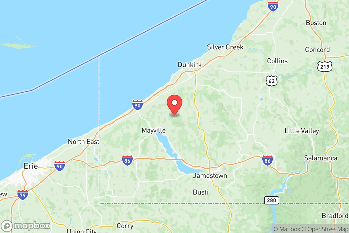
Chautauqua County’s geography is its strongest card for resilience. The county sits on a plateau that rises from the Lake Erie shoreline, with the Chautauqua Ridge running east-west, creating a natural barrier that limits easy access from the south. The 65-mile-long Lake Erie shoreline provides not only a massive freshwater reservoir but also a moderating effect on temperatures, though the lake-effect snow in winter is a serious challenge. The county is home to Chautauqua Lake, a 17-mile-long natural lake that serves as a secondary freshwater source and supports local fishing. The terrain is a mix of rolling hills, forests, and agricultural land—about 40% of the county is farmland, which is a major plus for food security. The county’s position relative to major population centers is favorable: it is roughly equidistant from Buffalo (60 miles north), Erie, Pennsylvania (40 miles west), and Rochester (100 miles northeast). This distance means that a regional crisis in any one of those cities would not immediately overwhelm Chautauqua County’s resources. The county also has a modest but functional transportation network: Interstate 86 runs east-west through the county, connecting to the New York State Thruway (I-90) about 30 miles east, while U.S. Route 62 provides a north-south corridor. For a relocator, the key takeaway is that the county is far enough from major urban centers to avoid the worst of a metropolitan collapse, yet close enough to access supplies and services if needed.
Risks, exposures, and proximity to fallout-relevant landmarks
No strategic assessment is honest without addressing the risks. Chautauqua County’s most significant exposure is its proximity to industrial and energy infrastructure. The county itself contains the NRG Dunkirk Power Plant, a coal- and gas-fired facility on the Lake Erie shore in the city of Dunkirk. While not a nuclear plant, it is a potential target for sabotage or a secondary effect of a larger grid failure. More concerning is the county’s location relative to the Buffalo Niagara region, which includes the Buffalo harbor, the Peace Bridge to Canada, and the Bethlehem Steel site in Lackawanna—a major industrial complex that could be a target in a conflict scenario. The county is also about 100 miles from the Pittsburgh metropolitan area, which includes multiple chemical plants and the Brentwood nuclear facility (Beaver Valley Power Station) in Shippingport, Pennsylvania. While the distance provides some buffer, prevailing winds from the west and southwest could carry fallout from a Pittsburgh-area incident into the county. Natural risks are more immediate: the county is in a moderate seismic zone, but the primary natural threat is lake-effect snow, which can dump 100-200 inches annually in the western part of the county, particularly in the towns of Sherman and Westfield. This snow can paralyze transportation for days, which is a double-edged sword—it discourages casual movement but also complicates supply lines. Flooding is a secondary concern, with the Cassadaga Creek and Chadakoin River basins prone to spring flooding. The county has no active nuclear power plants within its borders, but the Perry Nuclear Power Plant in Ohio is about 100 miles west, and the Ginna Nuclear Power Plant near Rochester is about 120 miles east. For a relocator, the risk profile is moderate: industrial targets exist but are not concentrated, and the primary natural hazard is manageable with proper preparation.
Practical resilience for a relocator: food, water, energy, and defensibility
For a reader focused on self-sufficiency, Chautauqua County offers strong fundamentals. Water is abundant: Lake Erie provides an essentially unlimited supply, though treatment would be required for drinking. Chautauqua Lake and numerous smaller lakes and streams (like Bear Lake and Findley Lake) offer secondary sources. The county’s groundwater is generally good, with many rural properties relying on wells. Food production is a major strength: the county is a significant agricultural producer, with dairy, grapes (part of the Lake Erie Wine Country region), apples, and corn being major crops. The towns of Fredonia and Brocton are centers for grape and fruit production. The county has a strong local food system, with farmers’ markets in Jamestown, Dunkirk, and Fredonia, and a network of u-pick farms and CSAs. For long-term food security, the agricultural land base is sufficient to support a much larger population than currently lives there. Energy is a mixed picture: the county is served by National Grid, and the Dunkirk power plant provides local generation capacity, but the grid is vulnerable to winter storms. Solar potential is moderate—the county gets about 160 sunny days per year, less than the national average, but rooftop solar is viable with battery backup. Wood heating is common in rural areas, and the county’s forests provide ample fuel. Defensibility is good: the county’s terrain is hilly and wooded, with numerous choke points on the major roads. The Lake Erie shoreline provides a natural barrier to the north, while the Chautauqua Ridge limits access from the south. The county has a strong tradition of hunting and firearms ownership, which is a practical consideration for security. The Jamestown area has a population of about 30,000, which is large enough to support a hospital (UPMC Chautauqua) and basic services, but small enough to avoid the chaos of a major city. The county’s law enforcement presence includes the Chautauqua County Sheriff’s Office and local police departments, but in a prolonged crisis, rural areas would largely be on their own. For a relocator, the practical takeaway is that Chautauqua County can support a self-sufficient lifestyle, but requires investment in winter-ready infrastructure, backup power, and water treatment.
The overall strategic picture for Chautauqua County is one of a solid, if imperfect, relocation destination for those prioritizing resilience. Its strengths—abundant fresh water, productive farmland, low population density, and distance from primary targets—are genuine and significant. Its weaknesses—harsh winters, moderate industrial exposure, and reliance on a vulnerable grid—are manageable with planning and preparation. The county is not a fortress, but it is a defensible position with the resources to sustain a community through a prolonged disruption. For a single individual or family willing to invest in winter preparedness, local food production, and off-grid energy, Chautauqua County offers a realistic path to long-term security without the isolation of more remote locations. The key is to choose a location away from the lake-effect snow belt—the southern and eastern parts of the county, around Mayville and Bemus Point, tend to have milder winters—and to establish connections with the local farming and hunting communities. In a world where resilience is increasingly a factor in relocation decisions, Chautauqua County deserves serious consideration.

* Values derived from national, state, county, city and local statistics and may differ in a specific area. Last updated: 2026-07-16T05:23:35.000Z
Narrative content on this page is AI-generated and may contain mistakes. Verify any details that matter before acting on them.
ReloMaps may earn a commission from affiliate links at no extra cost to you.

