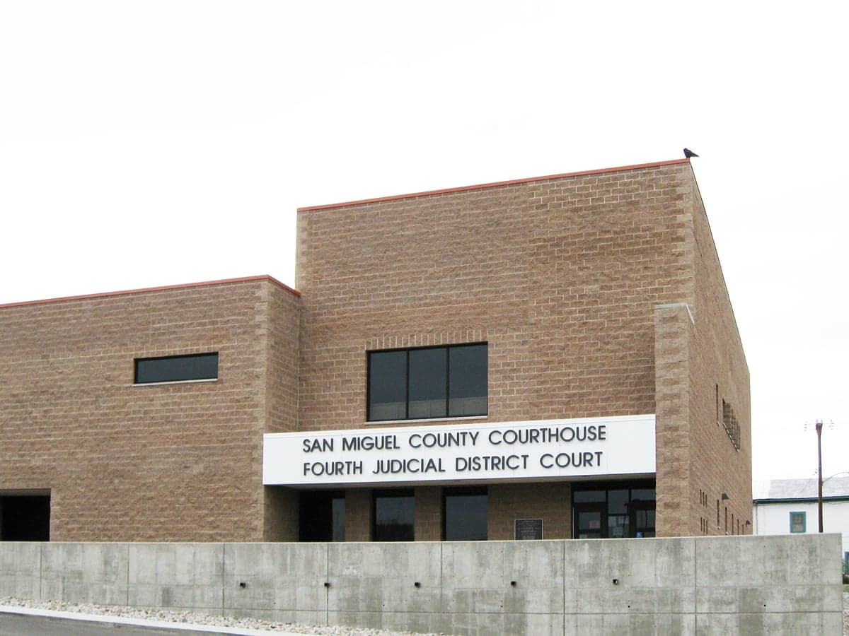
Photo: Wikipedia
Strategic Assessment of San Miguel County
Strong survivability profile. Good buffer from population centers, with manageable environmental and tactical risks.
What does the Strategic Assessment tell us?
Our Strategic Assessment grades tactical survivability of an area. Major population centers, military targets, fallout zones, natural disasters, and border exposure all drive risk — lower exposure means a more defensible position in a crisis.
This is heavily inspired by Joel Skousen's Strategic Relocation book. Highly recommended you checkout the book ($)What does this tell us?
Our Strategic Assessment grades tactical survivability of an area. Major population centers, military targets, fallout zones, natural disasters, and border exposure all drive risk — lower exposure means a more defensible position in a crisis.
This is heavily inspired by Joel Skousen's Strategic Relocation book. Highly recommended you checkout the book ($)Strategic Pillars

Key Distances
Strategic Assessment Analysis
San Miguel County offers a combination of geographic isolation and strategic access that appeals strongly to relocators prioritizing resilience and preparedness. Its rural character, abundant water from the Pecos River, and distance from major urban and industrial targets create a buffer that few counties in the Southwest can match. While not immune to risks like wildfire or drought, the area’s location along the I-25 corridor provides practical access to supply hubs like Santa Fe and Las Vegas, all while keeping the reader well away from the most likely fallout zones associated with large cities, military installations, or refinery complexes.
Geographic position and natural advantages for long-term resilience
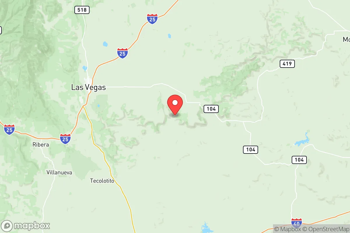
San Miguel County spans the transition zone between the High Plains and the Sangre de Cristo Mountains, giving it a diverse topography that enhances both defensibility and resource availability. The county seat, Las Vegas (population roughly 13,000), sits at an elevation of 6,400 feet in a valley flanked by forested ridges and open rangeland. To the east, the Pecos River flows year-round, providing a reliable surface water source rare in the arid Southwest. The river, along with the Storrie Lake reservoir just north of Las Vegas, supports irrigation and livestock watering. The county’s position along I-25 places it about 40 miles east of Santa Fe and 80 miles northeast of Albuquerque—far enough to avoid the direct effects of a major urban event, but close enough to reach medical or supply centers within a few hours. Unlike many rural counties in New Mexico, San Miguel has a functional local economy anchored by education (New Mexico Highlands University), healthcare, and agriculture, reducing dependence on distant supply chains.
Risks, exposures, and proximity to fallout-relevant landmarks
For a reader concerned about man-made disasters, San Miguel County’s risk profile is relatively low. The county contains no oil refineries, nuclear power plants, or major military bases. The nearest significant target of strategic concern is Los Alamos National Laboratory, roughly 100 miles northwest—a distance that would place San Miguel outside the primary fallout zone for a ground-level detonation or accident, though wind patterns could carry airborne material. The closest military installation is Cannon Air Force Base near Clovis (about 120 miles east), which is an active bomber base but remote from the county. What San Miguel does face are natural hazards: wildfire risk is elevated, especially in the forested western half near the Santa Fe National Forest. The Calf Canyon/Hermits Peak Fire of 2022 burned over 340,000 acres, mostly in Mora and San Miguel counties, demonstrating the potential for fast-moving, wind-driven wildfires that can threaten small communities like Pecos, Villanueva, and Mora itself. Drought is a chronic concern, though the county’s access to the Pecos River and deep groundwater aquifers moderates the impact on private wells. Flooding occurs locally along the river after intense summer storms. No active fault lines run through the county, and tornado risk is low compared to the Plains states to the east.
Practical resilience for relocators: food, water, energy, and defensibility
San Miguel County offers strong fundamentals for self-sufficiency. Water is the county’s clearest advantage: the Pecos River and its tributaries provide surface flow even during moderate drought, and many rural properties have existing wells that tap into the Ogallala aquifer’s western edge or local alluvial aquifers. For off-grid residents, this water can be gravity-fed or pumped with solar. The growing season (roughly 140 days) supports cool-season crops like beans, squash, and leafy greens, as well as orchard fruits at lower elevations. Ranching is well established—cow-calf operations are common, and the county’s abundant public lands offer grazing leases and hunting access for elk, deer, and turkey. Energy resilience is achievable: the high desert sun yields excellent solar production, and forested areas provide ample firewood for heating. Wind is less consistent than on the Plains, but small turbines can supplement solar. Defensibility varies by terrain. The mountain canyons near Pecos offer natural chokepoints and surveillance advantages, while the high plains east of Las Vegas give long sight lines but less cover. The county’s dispersed settlement pattern—many residents live on acreages rather than in subdivisions—reduces vulnerability to cascading failures like a water system collapse or disease spread. However, broadband internet is spotty in rural areas, and reliance on I-25 for heavy supply runs means a major highway disruption (e.g., bridge failure or fuel shortage) would isolate the county from Santa Fe and Albuquerque for days.
Overall, San Miguel County presents a strategic trade-off. It lacks the absolute isolation of, say, far northwest New Mexico or the remote parts of Colorado, but it compensates with superior water, a mild enough climate for year-round habitation, and proximity to a midsized city (Las Vegas) that can serve as a logistical hub without bringing the risks of a metro area. For the relocator who wants to balance preparedness with access—and who is willing to manage wildfire risk and maintain a well—this county ranks among the more viable options in the Southwest. The key is to choose property carefully: stick to parcels with established water rights and defensible space, and verify that your route to I-25 won’t be cut off by fire or flood. Done right, San Miguel County offers a resilient home base that could weather both natural disasters and the disruptions of a long-term emergency.

* Values derived from national, state, county, city and local statistics and may differ in a specific area. Last updated: 2026-06-18T01:54:48.000Z
Narrative content on this page is AI-generated and may contain mistakes. Verify any details that matter before acting on them.
ReloMaps may earn a commission from affiliate links at no extra cost to you.

