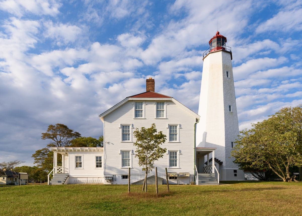
Photo: Wikipedia
Strategic Assessment of Monmouth County
Multiple tactical vulnerabilities. Population density, target proximity, or disaster risk are likely compounding. A retreat property and exit planning is required.
What does the Strategic Assessment tell us?
Our Strategic Assessment grades tactical survivability of an area. Major population centers, military targets, fallout zones, natural disasters, and border exposure all drive risk — lower exposure means a more defensible position in a crisis.
This is heavily inspired by Joel Skousen's Strategic Relocation book. Highly recommended you checkout the book ($)What does this tell us?
Our Strategic Assessment grades tactical survivability of an area. Major population centers, military targets, fallout zones, natural disasters, and border exposure all drive risk — lower exposure means a more defensible position in a crisis.
This is heavily inspired by Joel Skousen's Strategic Relocation book. Highly recommended you checkout the book ($)Strategic Pillars

Key Distances
Strategic Assessment Analysis
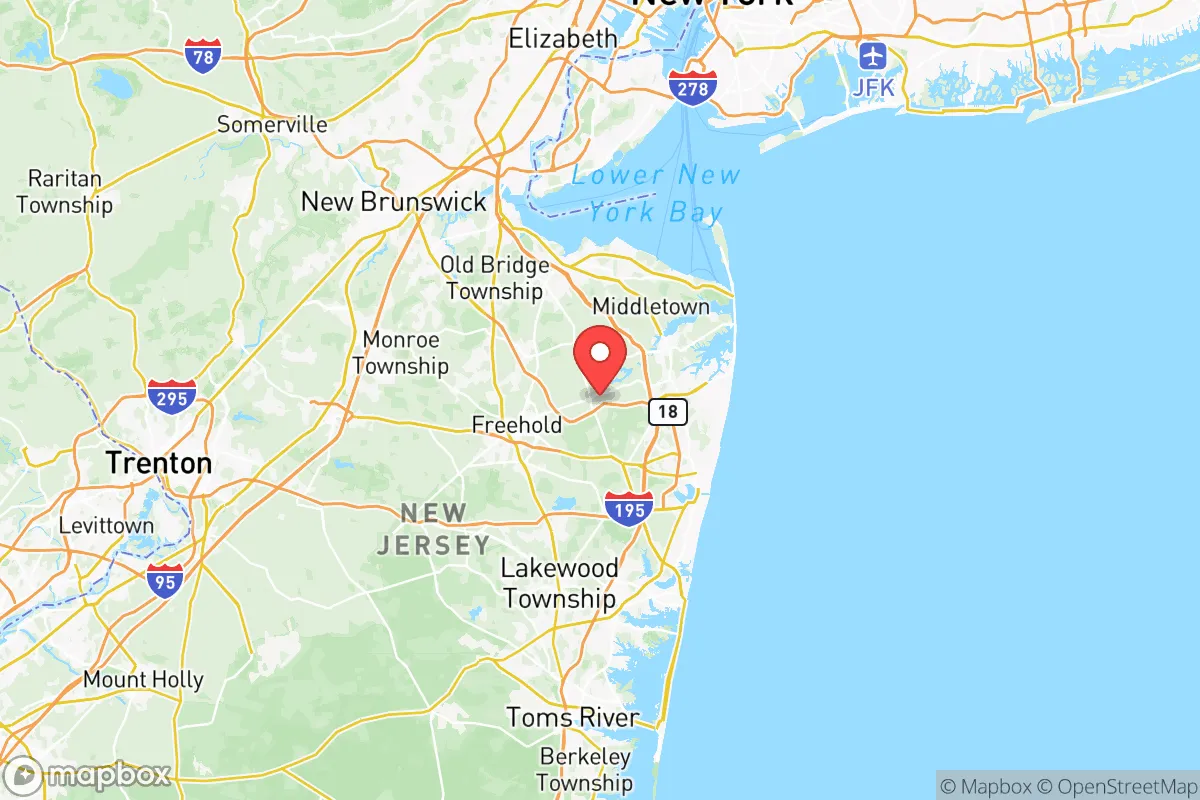
Monmouth County, New Jersey, offers a compelling mix of geographic resilience and strategic depth for relocators prioritizing disaster readiness and self-sufficiency, though its proximity to major metropolitan and industrial targets demands careful consideration. Situated along the central Jersey Shore, the county benefits from a position that is far enough from New York City and Philadelphia to avoid the worst of a potential urban fallout scenario, yet close enough to access world-class infrastructure when needed. The county’s 2024 population of roughly 645,000 is spread across a diverse landscape of coastal towns, inland suburbs, and rural farmlands, providing a range of options for those seeking both community and seclusion.
Geographic position and natural advantages for disaster readiness
Monmouth County’s location on the Atlantic coast offers a distinct set of natural advantages for resilience planning. The county is bordered by the Atlantic Ocean to the east and Raritan Bay to the north, providing abundant water resources and a moderating effect on climate extremes. The Navesink River and Shrewsbury River systems create natural barriers and defensible terrain in towns like Red Bank and Rumson, while the Pine Barrens to the west offer a vast, sparsely populated buffer zone that could serve as a retreat area. The county’s elevation is generally low but rises to about 300 feet in the western hills near Freehold, offering some protection against storm surge. The region’s temperate climate supports year-round agriculture, with over 200 farms operating in the county, including notable operations in Colts Neck and Holmdel that could sustain local food production during supply chain disruptions. The proximity to the Atlantic also means access to marine resources, though this comes with the trade-off of hurricane exposure.
Risks, exposures, and proximity to fallout-relevant landmarks
The primary strategic concern for Monmouth County is its position within the New York City metropolitan area’s outer ring, placing it within potential fallout zones from a nuclear event targeting Manhattan or the Port of Newark. Earle Naval Weapons Station in Colts Neck is a high-value military asset that could itself become a target, storing conventional and potentially nuclear munitions. The county also sits near the Philadelphia-Camden industrial corridor, with refineries in Linden and Paulsboro roughly 30-40 miles away, creating secondary risk zones. Natural hazards are significant: the entire coastline is vulnerable to hurricanes and nor’easters, as demonstrated by Superstorm Sandy in 2012, which caused extensive damage in towns like Sea Bright and Union Beach. Flooding is a persistent risk in low-lying areas along the Manasquan River and Raritan Bay, with FEMA flood maps showing substantial portions of the county in high-risk zones. The county’s dense suburban development in areas like Middletown and Howell means that evacuation routes can become congested quickly, particularly on the Garden State Parkway and Route 9.
Practical resilience for a relocator: food, water, energy, and defensibility
For a relocator focused on self-sufficiency, Monmouth County offers a mixed but workable picture. Groundwater is generally plentiful and of good quality, with the Kirkwood-Cohansey aquifer system underlying much of the county, though well-drilling costs vary by location and depth. The agricultural sector is robust, with farmers’ markets operating year-round in towns like Asbury Park and Freehold, and community-supported agriculture (CSA) programs available in Colts Neck and Holmdel. Energy infrastructure is relatively modern, with Jersey Central Power & Light serving most of the county, but grid reliability is a concern during storms—power outages after Sandy lasted up to two weeks in some coastal areas. Solar adoption is growing, with net metering policies that make rooftop systems viable. Defensibility varies by terrain: the western and central parts of the county offer more rural, low-density options with natural cover from forests and farmland, while coastal areas are more exposed. Fort Monmouth, the former Army base in Eatontown, has been redeveloped into a mixed-use community but retains some hardened infrastructure that could be repurposed. The county’s network of state parks, including Allaire State Park and Hartshorne Woods Park, provides potential bug-out locations with water access and cover.
The overall strategic picture for Monmouth County is one of calculated trade-offs. Its coastal location provides natural resources and a moderate climate but exposes residents to hurricane and storm surge risks. Its proximity to New York City and major industrial targets is a genuine liability for those concerned with nuclear or chemical fallout, yet the county’s size and diversity of terrain offer multiple options for positioning oneself away from the highest-risk zones. For a relocator willing to invest in backup power, water storage, and a defensible property in the western or central parts of the county, Monmouth offers a viable balance of access to civilization and genuine self-sufficiency potential. The key is choosing the right town—avoiding flood zones and staying clear of obvious target areas like Earle—while building the kind of redundant systems that make any location resilient.

* Values derived from national, state, county, city and local statistics and may differ in a specific area. Last updated: 2026-07-02T17:04:03.000Z
Narrative content on this page is AI-generated and may contain mistakes. Verify any details that matter before acting on them.
ReloMaps may earn a commission from affiliate links at no extra cost to you.

