Photo: Wikipedia
Strategic Assessment of New Canaan, CT
Meaningful friction. Expect exposure to either population pressure, blast zones, or natural disaster risk. Consider buying a retreat property.
What does the Strategic Assessment tell us?
Our Strategic Assessment grades tactical survivability of an area. Major population centers, military targets, fallout zones, natural disasters, and border exposure all drive risk — lower exposure means a more defensible position in a crisis.
This is heavily inspired by Joel Skousen's Strategic Relocation book. Highly recommended you checkout the book ($)What does this tell us?
Our Strategic Assessment grades tactical survivability of an area. Major population centers, military targets, fallout zones, natural disasters, and border exposure all drive risk — lower exposure means a more defensible position in a crisis.
This is heavily inspired by Joel Skousen's Strategic Relocation book. Highly recommended you checkout the book ($)Strategic Pillars

Key Distances
Regional Safe Places
Below is our recommended "safe zones" in Connecticut and the surrounding area based on our strategic heuristics. For most people, it's unrealistic to live in a “safe zone” full-time due to work, family or other personal reasons. They tend to be more rural. However, many of these areas are perfect for second homes and retreat properties that double as a vacation home or even a short-term rental.




Important Note: For informational purposes only. This does not mean nothing bad ever happens in the green zones. Please use common sense. This is based on public data and modeled with AI. We tried to take a conservative approach but mistakes happen. We update this regularly as new information becomes available.
Solar Generator Recommendations
Backup power matters more here than in safer locations. We've picked three solar generators across budgets and capacity tiers — start with the budget unit if you only need a few essentials, or step up if you want to run a fridge and HVAC for days at a time.

Jackery Portable Power Station Explorer 300
Budget OptionPower on the Go: Weighing only 11 lbs, it's convenient to set up and store with book-sized foldable solar panels

BLUETTI Portable Power Station AC180
Designed for both indoor and outdoor scenarios, AC180 is highly capable as it has a robost capacity and continuous output power.

EF ECOFLOW DELTA Pro Ultra Power Station
Upgraded PickEcoFlow DELTA Pro Ultra is a whole-home energy system designed to grow with your family. Integrated with the Smart Home Panel 2, it scales to meet your evolving energy needs — keeping your home powered, intelligent, and secure through every stage of life.
We earn a commission, at no additional cost to you.
Strategic Assessment Analysis
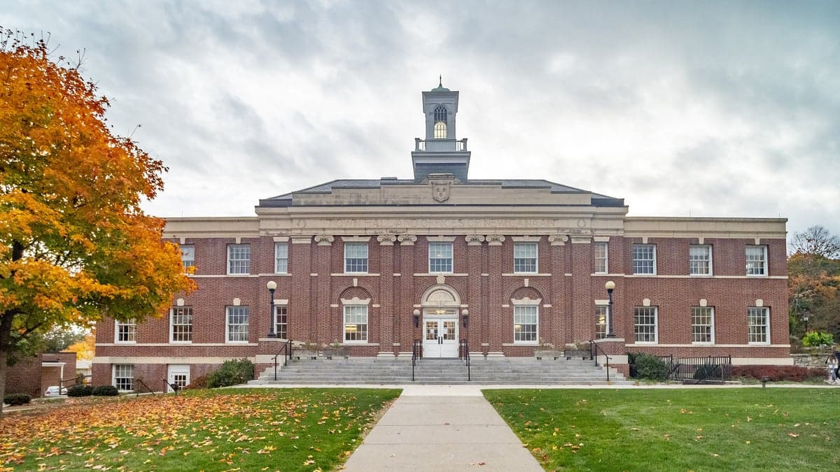
New Canaan, Connecticut, presents a complex strategic picture for the conservative relocator prioritizing resilience. While its proximity to New York City is often marketed as an advantage, from a survivalist perspective, that same proximity is a double-edged sword—offering access to resources while placing you squarely in the blast shadow of a major geopolitical and economic target. The town’s genuine strengths lie in its affluent, low-crime social fabric and its position within a region that, while not remote, offers some natural buffers and a strong local governance structure that can be leveraged for community-level preparedness.
Geographic position and natural advantages for long-term stability
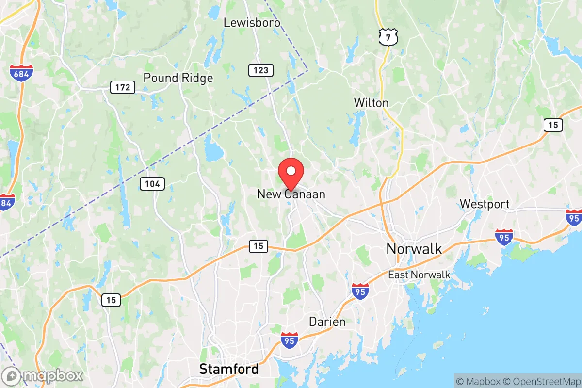
New Canaan sits in Fairfield County, roughly 45 miles northeast of Manhattan, nestled in the rolling hills and wooded terrain of southwestern Connecticut. The town’s elevation—averaging around 300 to 400 feet above sea level—provides a modest but meaningful advantage over coastal areas like Stamford or Norwalk, which are vulnerable to storm surge and sea-level rise. The underlying geology is primarily crystalline bedrock (gneiss and schist), which offers decent structural stability and reduces the risk of liquefaction during seismic events, though the region is not seismically active. The natural landscape is heavily forested with mixed hardwoods and conifers, providing ample cover, firewood, and potential for game (deer, turkey, small game) in a prolonged grid-down scenario. The town’s water supply is sourced from the New Canaan Reservoir and several smaller ponds, supplemented by the Aquarion Water Company system. For a relocator, the key takeaway is that New Canaan is not a coastal floodplain; it’s a hilltop community with defensible terrain and a local water source that, while not pristine, is better than suburban sprawl. However, the town’s small size (about 22 square miles) and high population density (roughly 1,200 people per square mile) mean that true rural self-sufficiency is impossible—you’re still in a suburban enclave, not a mountain redoubt.
Risks, exposures, and proximity to fallout-relevant landmarks
The most significant strategic liability is New Canaan’s location within the New York metropolitan area’s extended blast and fallout zone. The town sits roughly 30 miles from the Indian Point Energy Center (now decommissioned, but spent fuel remains on-site) and about 40 miles from the Millstone Nuclear Power Station in Waterford, CT. In a major nuclear event—whether from a terrorist attack, accident, or state-level conflict—New Canaan would be downwind of potential fallout plumes from both facilities, depending on prevailing westerly winds. Additionally, the town is within 50 miles of several high-value military and government targets in the NYC area, including the United Nations headquarters, the Federal Reserve Bank, and multiple military installations (e.g., Fort Hamilton, Picatinny Arsenal in NJ). A coordinated attack on these targets could produce significant secondary fallout and trigger mass evacuation flows from the city. The Merritt Parkway (Route 15) and I-95 are the primary evacuation routes, and both are notorious choke points that would gridlock within hours of a major event. New Canaan’s own rail station (New Canaan Branch of the Metro-North) is a potential target for disruption, as it connects directly to Grand Central Terminal. For the prepper, the risk profile is clear: you are not in a remote safe zone. You are in a wealthy suburb that would become a refuge for fleeing city dwellers, straining local resources and potentially drawing unwanted attention. The town’s police force is well-funded and professional, but it is not equipped to handle a mass influx of hundreds of thousands of displaced persons.
Practical resilience for a relocator: food, water, energy, and defensibility
For a single individual or family committed to preparedness, New Canaan offers a mixed bag. Food security is a major concern: the town has no significant agricultural base. The New Canaan Farmers Market is seasonal and small, and the nearest large-scale food production is in the Connecticut River Valley, about 40 miles east. You will need to stockpile at least a 3-6 month supply of non-perishables, as local grocery stores (Stop & Shop, Whole Foods) would empty within 48 hours of a crisis. Water security is slightly better: the New Canaan Reservoir is a surface water source, but it’s vulnerable to contamination and requires treatment. A well on private property is ideal, but many homes in town are on municipal water. Installing a rainwater catchment system and a Berkey or similar gravity filter is a practical step. Energy resilience is achievable: the town has a high rate of natural gas service, but in a prolonged grid failure, gas pressure will drop. Solar panels with battery storage (e.g., Tesla Powerwall) are increasingly common among affluent residents, and a backup generator (preferably dual-fuel) is essential. The town’s tree canopy is a double-edged sword—it provides cover but also means frequent power outages from storms (Nor’easters, hurricanes). Defensibility is the weakest link. New Canaan is a classic suburban layout with winding roads, large lots, and many cul-de-sacs. This makes it difficult to secure a perimeter. The town has a low crime rate (violent crime is rare, property crime is moderate), but in a societal collapse scenario, the lack of natural barriers and the high value of homes would make it a target for looting. The local police department (about 40 sworn officers) is professional but would be overwhelmed. A better approach is to form a neighborhood watch or community defense group with like-minded neighbors—the town’s strong sense of community and high property values mean many residents are already invested in maintaining order. Medical resilience is a bright spot: Stamford Hospital (Level II trauma center) is 15 minutes away, and Yale New Haven Hospital (Level I) is 40 minutes. However, in a mass casualty event, these facilities would be overwhelmed. Stockpiling trauma kits, antibiotics (via fish-mox or a Jase Medical subscription), and learning basic emergency medicine is non-negotiable.
The overall strategic picture for New Canaan is one of calculated risk. It is not a bug-out location for the hardcore survivalist—it’s too close to NYC, too dependent on external infrastructure, and too densely populated for true self-sufficiency. However, for the conservative relocator who values community cohesion, low crime, and access to high-quality medical care, and who is willing to invest heavily in home-based preparedness (water, food, energy, security), it can function as a viable “gray man” suburb—a place where you can blend in while quietly building resilience. The key is to avoid complacency. The town’s affluence and insulation from daily urban problems can lull residents into a false sense of security. The reality is that New Canaan sits in the shadow of a major target zone, and its fate in a national crisis would be determined by events far beyond its borders. If you move here, do so with eyes open, a stocked pantry, and a plan for self-reliance that doesn’t depend on the town’s charming downtown or its proximity to the city. Prepare for the worst, enjoy the best, and understand that in a true collapse, this is a place to hold ground, not a place to run to.

* Values derived from national, state, county, city and local statistics and may differ in a specific area. Last updated: 2026-04-27T14:56:33.000Z
Narrative content on this page is AI-generated and may contain mistakes. Verify any details that matter before acting on them.
ReloMaps may earn a commission from affiliate links at no extra cost to you.

