
Photo: Wikipedia
Strategic Assessment of York County
Strong survivability profile. Good buffer from population centers, with manageable environmental and tactical risks.
What does the Strategic Assessment tell us?
Our Strategic Assessment grades tactical survivability of an area. Major population centers, military targets, fallout zones, natural disasters, and border exposure all drive risk — lower exposure means a more defensible position in a crisis.
This is heavily inspired by Joel Skousen's Strategic Relocation book. Highly recommended you checkout the book ($)What does this tell us?
Our Strategic Assessment grades tactical survivability of an area. Major population centers, military targets, fallout zones, natural disasters, and border exposure all drive risk — lower exposure means a more defensible position in a crisis.
This is heavily inspired by Joel Skousen's Strategic Relocation book. Highly recommended you checkout the book ($)Strategic Pillars

Key Distances
Strategic Assessment Analysis
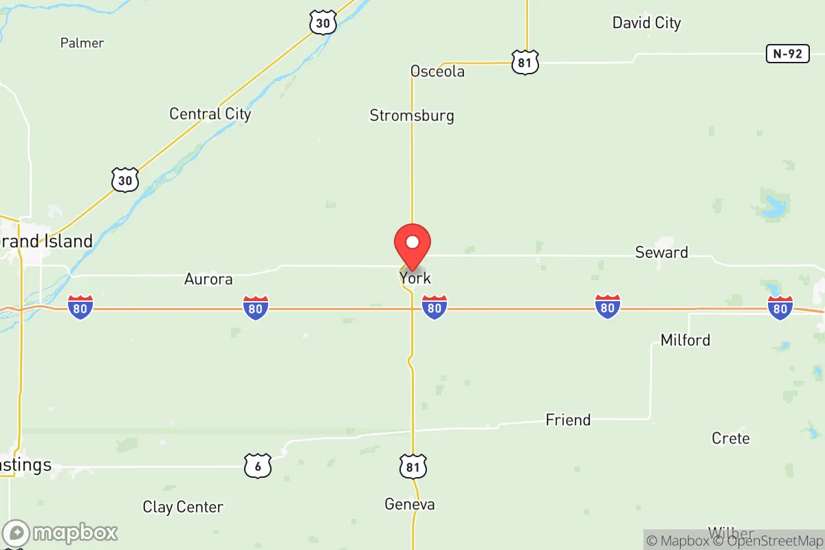
York County, Nebraska, offers a compelling strategic profile for relocators prioritizing resilience, self-sufficiency, and distance from major metropolitan vulnerabilities. Its position in the central Great Plains, roughly 90 miles west of Lincoln and 100 miles northeast of the Hastings-Kearney corridor, places it in a low-density agricultural zone with significant natural advantages for long-term sustainability. The county seat of York anchors a region where the primary economic drivers are row-crop agriculture, livestock, and light manufacturing, creating a community that is inherently oriented toward practical self-reliance rather than speculative growth.
Geographic position and natural advantages for long-term stability
York County sits atop the eastern edge of the Nebraska Sandhills transition zone, where the terrain flattens into the Platte River valley's fertile bottomlands. This geography provides several distinct resilience benefits. The area's elevation averages around 1,600 feet, placing it well above floodplains of the Platte River to the south, while the Big Blue River runs through the county's eastern edge near the town of Waco. The region's continental climate delivers reliable annual precipitation of roughly 28 inches, sufficient for dryland farming without heavy irrigation dependence. The county's position in the central flyway also means abundant wildlife for supplemental food sources, with deer, turkey, and waterfowl populations that are consistently healthy. The nearest major military installation is the Nebraska Army National Guard's Camp Ashland, about 60 miles east, but that facility is a training center rather than a strategic target. The closest facility with any significant federal security footprint is the Lincoln Air National Guard Base, roughly 90 miles east, which is a modest operation compared to major bases like Fort Riley in Kansas or Offutt Air Force Base near Omaha. This distance from high-value military infrastructure is a net positive for a relocator concerned about fallout or targeted disruption.
Risks, exposures, and proximity to fallout-relevant landmarks
York County's primary risk profile is dominated by natural hazards rather than man-made threats, which is favorable for a resilience-focused assessment. The region sits in Tornado Alley's western fringe, with an average of 6-8 tornado warnings per year, though direct hits are rare. The 1980 York tornado remains the most significant event in recent memory, an F4 that destroyed much of the downtown area. Modern building codes and community warning systems have improved substantially since then. The county's distance from major industrial targets is its strongest strategic asset. The nearest significant refinery is the Phillips 66 terminal in Aurora, about 20 miles west, but that is a distribution hub rather than a major cracking facility. The closest large-scale chemical or nuclear infrastructure is the Nebraska Public Power District's Cooper Nuclear Station, located roughly 80 miles southeast near Brownville. For a relocator concerned about fallout from a major event, York County's position places it outside the primary risk zones for both the Omaha-Lincoln metropolitan corridor and the I-80 industrial belt. The county's population density of roughly 22 people per square mile means that even a localized event would have minimal cascading effects. The town of Benedict, with its grain elevators and rail siding, represents the kind of small, self-contained community that would function independently in a disruption scenario. The primary man-made risk is the Union Pacific rail line that runs through York, carrying hazardous materials through the county's center, but this is a manageable risk compared to living near a major port or refinery complex.
Practical resilience for a relocator: food, water, energy, and defensibility
York County's agricultural base provides exceptional food security for a relocator willing to engage with local systems. The county produces over 1.5 million bushels of corn and 500,000 bushels of soybeans annually, with significant livestock operations centered around the town of Bradshaw. The York County Fairgrounds hosts regular livestock auctions, and the local farmers' cooperative in York offers bulk grain and feed supplies. Water access is robust, with the Ogallala Aquifer's eastern edge providing reliable groundwater at depths of 100-200 feet. The city of York's municipal water system draws from wells in the Platte River alluvial aquifer, but rural properties typically have private wells with excellent yields. The county's energy infrastructure is dominated by wind generation, with the York County Wind Farm near McCool Junction producing enough electricity to power roughly 15,000 homes. Natural gas is available in the town of York but becomes scarce in rural areas, making propane or wood heating the practical choice for off-grid living. Defensibility is a mixed picture. The county's flat terrain offers limited natural cover, but the dispersed population and extensive road network make it difficult for any large group to control territory. The town of Henderson, with its Mennonite and Amish populations, represents a community with established off-grid skills and a culture of mutual aid that would be valuable in a prolonged disruption. The county's law enforcement presence is minimal, with the York County Sheriff's Office covering the entire county with roughly 12 deputies, so self-reliance is the default expectation rather than a contingency plan.
The overall strategic picture for York County is one of moderate but genuine resilience, with the key trade-off being isolation versus access. The county offers excellent food and water security, low population density, and distance from major targets, but it lacks the topographic defensibility of mountainous regions and faces the persistent threat of severe weather. For a relocator who values practical self-sufficiency over dramatic escape scenarios, York County provides a stable, low-risk environment where the primary challenge is adapting to rural life rather than surviving a catastrophe. The community's agricultural heritage and the presence of established off-grid populations in towns like Henderson and Bradshaw create a social infrastructure that supports resilience without requiring prepper-level isolation. The county's position along the I-80 corridor also provides reasonable access to medical care and supplies from Lincoln or Grand Island, while maintaining enough distance to avoid the worst effects of a metropolitan disruption. For a family or individual serious about disaster readiness, York County represents a balanced choice that prioritizes long-term sustainability over short-term convenience.

* Values derived from national, state, county, city and local statistics and may differ in a specific area. Last updated: 2026-07-27T08:33:01.000Z
Narrative content on this page is AI-generated and may contain mistakes. Verify any details that matter before acting on them.
ReloMaps may earn a commission from affiliate links at no extra cost to you.

