Photo: Wikipedia
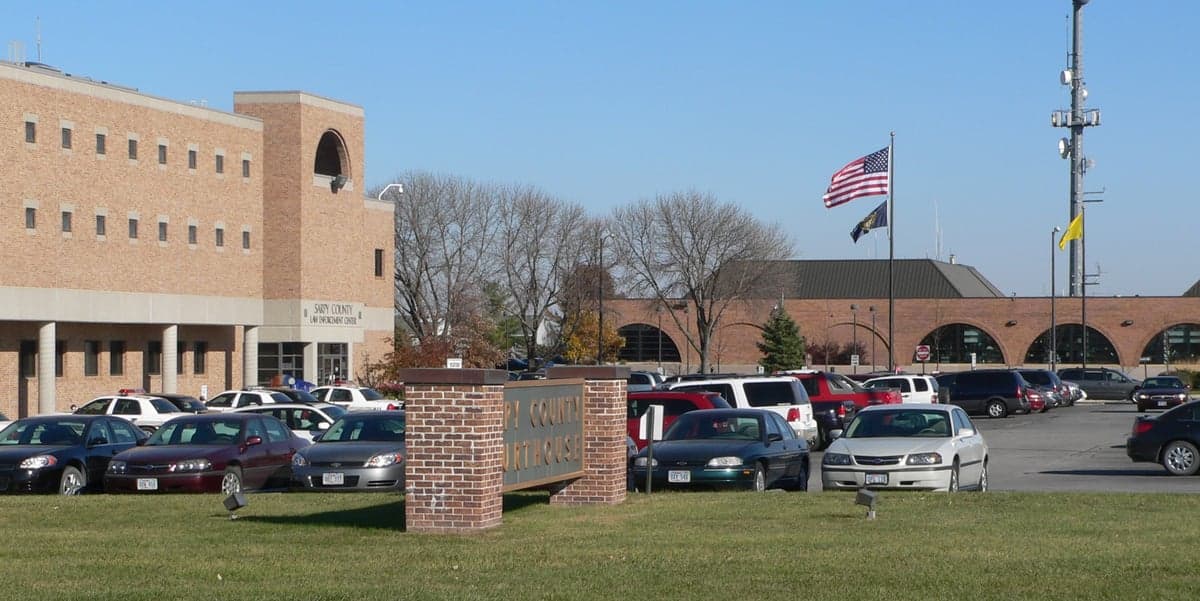
Strategic Assessment of Sarpy County
Meaningful friction. Expect exposure to either population pressure, blast zones, or natural disaster risk. Consider buying a retreat property.
What does the Strategic Assessment tell us?
Our Strategic Assessment grades tactical survivability of an area. Major population centers, military targets, fallout zones, natural disasters, and border exposure all drive risk — lower exposure means a more defensible position in a crisis.
This is heavily inspired by Joel Skousen's Strategic Relocation book. Highly recommended you checkout the book ($)What does this tell us?
Our Strategic Assessment grades tactical survivability of an area. Major population centers, military targets, fallout zones, natural disasters, and border exposure all drive risk — lower exposure means a more defensible position in a crisis.
This is heavily inspired by Joel Skousen's Strategic Relocation book. Highly recommended you checkout the book ($)Strategic Pillars

Key Distances
Strategic Assessment Analysis
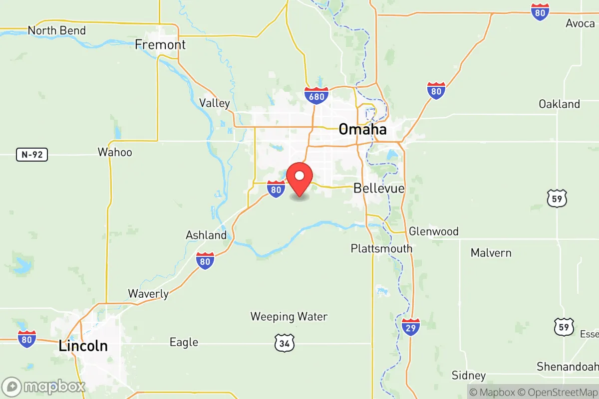
Sarpy County, Nebraska, presents a compelling strategic profile for relocators prioritizing resilience and preparedness, anchored by its position on the southwestern edge of the Omaha-Council Bluffs metropolitan area. The county’s key advantage is its location along the Missouri River, offering a reliable water source, while its distance from the densest urban cores and major strategic targets provides a meaningful buffer against fallout and cascading disruptions. With a population of roughly 190,000 and a mix of suburban communities like Bellevue, Papillion, and Gretna, Sarpy County balances access to metropolitan resources with a degree of geographic separation that enhances its survival calculus.
Geographic position and natural advantages for disaster readiness
Sarpy County’s geographic position is its strongest asset for resilience. The county sits on the eastern edge of Nebraska, with the Missouri River forming its eastern border, providing a perennial water source that is critical for long-term self-sufficiency. The terrain is predominantly rolling plains and farmland, with the Platte River converging just north of the county line near Ashland, creating a natural corridor that supports agriculture and groundwater recharge. The area is far from active fault lines, major hurricane zones, and wildfire-prone regions, reducing exposure to common natural disasters. The climate is continental, with cold winters and hot summers, but the region rarely experiences catastrophic weather events like tornadoes of the highest intensity—though they do occur—making it a relatively stable environment for long-term habitation. The county’s elevation, averaging around 1,100 feet, offers no significant floodplain risk outside immediate riverbanks, and the surrounding agricultural land provides a buffer against urban sprawl.
Risks, exposures, and proximity to fallout-relevant landmarks
While Sarpy County avoids many natural hazards, its proximity to strategic and industrial targets introduces man-made risks that a relocator must weigh. The most significant exposure is Offutt Air Force Base, located in Bellevue, which is a major command and control hub for the U.S. Strategic Command (STRATCOM). This facility is a high-priority target in any conflict scenario, and its presence within the county means that a direct strike or secondary effects—such as electromagnetic pulse (EMP) or fallout—could affect nearby communities. Additionally, the county lies roughly 30 miles south of Omaha’s downtown, which hosts the Union Pacific Railroad headquarters and several data centers, and about 50 miles north of the Lincoln metropolitan area, which includes the University of Nebraska-Lincoln and state government infrastructure. The Missouri River bridges at Bellevue and Plattsmouth are chokepoints that could be targeted or become congested during an evacuation. On the positive side, Sarpy County is far from the nation’s major refinery corridors (e.g., Houston, Texas, or the Gulf Coast) and large-scale chemical storage facilities, reducing the risk of toxic industrial releases. The county’s distance from the Fort Riley military installation in Kansas (about 150 miles south) and the Minuteman Missile National Historic Site in western Nebraska (over 300 miles west) means it is not in the immediate fallout zone of those assets, though prevailing winds from the west could carry fallout from distant strikes.
Practical resilience for a relocator: food, water, energy, and defensibility
For a relocator focused on self-sufficiency, Sarpy County offers a mixed but workable picture. Water security is strong: the Missouri River provides a surface water source, and the county’s groundwater aquifers are generally abundant, with many rural properties relying on private wells. Municipal water in Papillion and Bellevue is treated and reliable, but a well with a hand pump or a rainwater catchment system would be a prudent backup. Food production is feasible, as the county is surrounded by prime farmland—corn, soybeans, and livestock operations are common in the rural areas south of Highway 370. The Gretna area and unincorporated parts of the county have acreages suitable for small-scale farming, and the local climate supports a growing season from April to October. However, the county’s suburban nature means that many residents rely on grocery stores and supply chains; a relocator should plan for at least a 3-6 month food storage buffer, as local agriculture is not immediately accessible to all. Energy resilience is moderate: the grid is served by the Omaha Public Power District (OPPD), which has a mix of coal, natural gas, and wind generation. Solar potential is decent, with about 200 sunny days per year, but winter cloud cover can reduce output. A backup generator or off-grid solar system with battery storage is advisable, especially given the risk of grid disruption from severe storms or EMP. Defensibility is a challenge in the more densely populated areas like Bellevue and Papillion, where suburban neighborhoods offer limited natural barriers. However, the rural southern and western parts of the county—near Louisville and Springfield—provide more defensible terrain, with larger lots, tree lines, and distance from main roads. The county’s law enforcement presence is robust, with the Sarpy County Sheriff’s Office and local police departments, but in a prolonged crisis, community self-reliance would be key. The Platte River State Park and Schramm Park State Recreation Area offer natural resources and potential retreat locations, though they are public lands and not suitable for permanent habitation.
Overall, Sarpy County offers a strategic sweet spot for the disaster-conscious relocator: it is close enough to Omaha’s medical and logistical resources to be useful, yet far enough from the highest-risk targets to avoid the worst fallout scenarios. The presence of Offutt Air Force Base is the single greatest risk factor, but it also means the area has strong infrastructure, emergency services, and a population that is likely more aware of preparedness than the average American suburb. For a family or individual willing to invest in a rural property with a well, solar panels, and food storage, the county’s agricultural surroundings and water access make it a viable long-term base. The key is to avoid the denser suburbs near the base and the river crossings, and instead focus on the southern and western fringes where defensibility and self-sufficiency are more achievable. In a worst-case scenario, Sarpy County’s position along the Missouri River provides a natural escape route north or south, but the prudent relocator will treat it as a home base, not a fallback position.

* Values derived from national, state, county, city and local statistics and may differ in a specific area. Last updated: 2026-07-23T11:35:36.000Z
Narrative content on this page is AI-generated and may contain mistakes. Verify any details that matter before acting on them.
ReloMaps may earn a commission from affiliate links at no extra cost to you.

