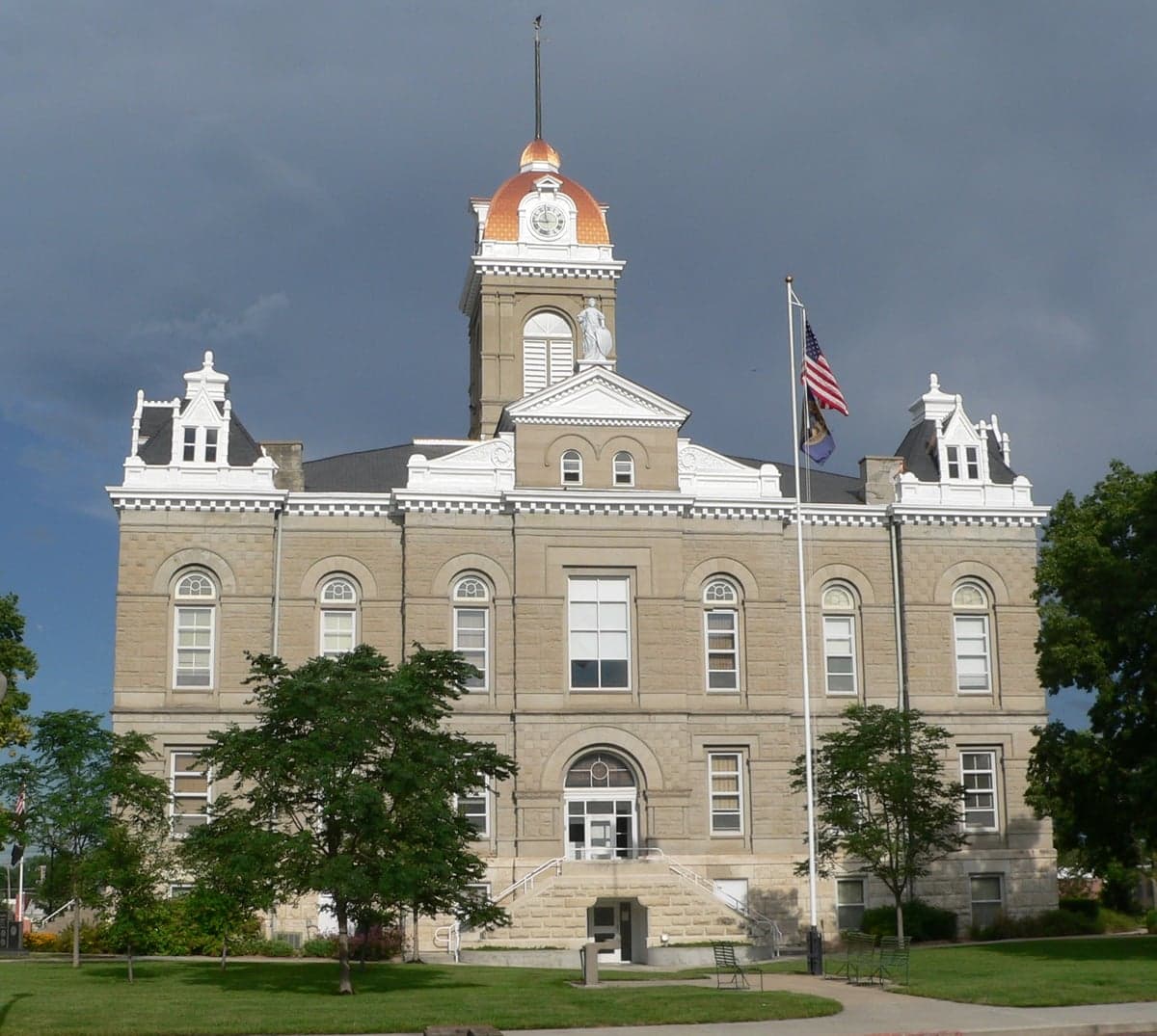
Photo: Wikipedia
Strategic Assessment of Jefferson County
Strong survivability profile. Good buffer from population centers, with manageable environmental and tactical risks.
What does the Strategic Assessment tell us?
Our Strategic Assessment grades tactical survivability of an area. Major population centers, military targets, fallout zones, natural disasters, and border exposure all drive risk — lower exposure means a more defensible position in a crisis.
This is heavily inspired by Joel Skousen's Strategic Relocation book. Highly recommended you checkout the book ($)What does this tell us?
Our Strategic Assessment grades tactical survivability of an area. Major population centers, military targets, fallout zones, natural disasters, and border exposure all drive risk — lower exposure means a more defensible position in a crisis.
This is heavily inspired by Joel Skousen's Strategic Relocation book. Highly recommended you checkout the book ($)Strategic Pillars

Key Distances
Strategic Assessment Analysis
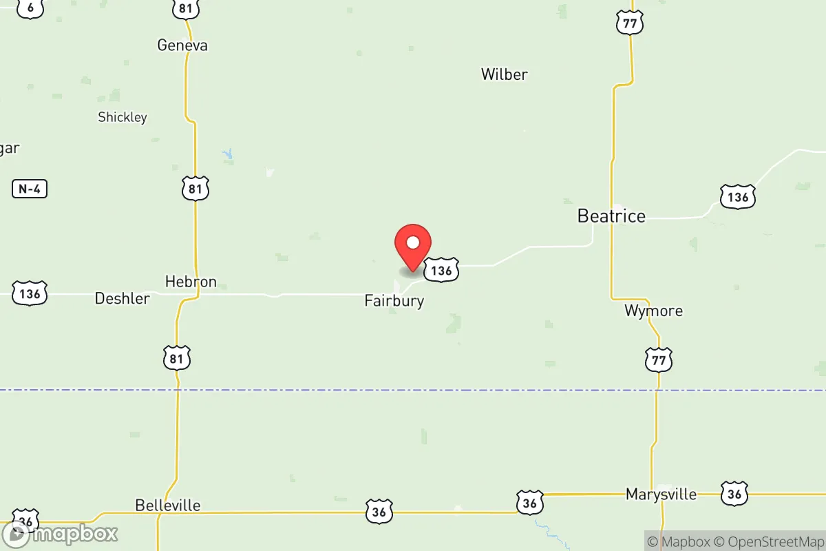
Jefferson County, Nebraska, offers a compelling mix of geographic stability and practical self-sufficiency that appeals to relocation-minded individuals and families with a conservative, preparedness-oriented outlook. Its position in the southeastern part of the state, roughly 40 miles southwest of Lincoln and 90 miles from Omaha, places it far enough from major population centers to avoid the worst of urban fragility, yet close enough to access critical supplies and medical care in Fairbury, the county seat. The area’s resilience stems from its agricultural backbone, low population density, and distance from high-risk industrial and military targets, making it a defensible, low-profile location for those prioritizing long-term security and independence.
Geographic position and natural advantages for long-term security
Jefferson County sits in the rolling plains of southeastern Nebraska, a region defined by fertile soils, moderate climate, and a lack of major geological hazards. The county’s elevation averages around 1,400 feet, with no significant floodplains outside the Little Blue River valley, which runs through Fairbury and the smaller communities of Diller and Harbine. This river provides a reliable freshwater source without the catastrophic flood risk seen along larger rivers like the Missouri or Platte. The area is far from active fault lines, with the nearest significant seismic activity occurring in the New Madrid Seismic Zone over 400 miles away, meaning earthquake risk is negligible. Tornadoes are the primary natural threat, as Jefferson County lies in the heart of Tornado Alley, but the open terrain allows for ample warning time and easy construction of storm shelters. The county’s agricultural land—primarily corn, soybeans, and cattle operations—offers a built-in food production base, with local farms and grain elevators in Fairbury, Plymouth, and Daykin providing direct access to bulk staples. This geographic profile makes Jefferson County a stable, low-hazard environment for those seeking a long-term homestead.
Risks, exposures, and proximity to fallout-relevant landmarks
Jefferson County’s primary risk exposure comes not from natural disasters but from its proximity to potential man-made and infrastructure-related threats. The county is roughly 90 miles from Offutt Air Force Base near Omaha, a key U.S. Strategic Command (STRATCOM) installation that would be a high-priority target in a major conflict. While this distance provides a significant safety buffer—fallout patterns from a strike on Offutt would likely drift northeast, away from Jefferson County—it is not zero-risk. The county also sits about 100 miles from the Kansas City metropolitan area, which includes the Whiteman Air Force Base (home to B-2 bombers) and major rail and highway infrastructure. In a widespread crisis, fallout from a strike on either of these targets could reach Jefferson County depending on wind direction, though the county’s rural, low-density character minimizes secondary effects like panic-driven evacuation congestion. The nearest nuclear power plant is the Cooper Nuclear Station near Brownville, Nebraska, about 60 miles east; its emergency planning zone does not extend into Jefferson County, but a major incident there could affect water quality in the Missouri River watershed, which is not a primary water source for the county. On the positive side, Jefferson County has no major refineries, chemical plants, or large-scale industrial facilities within its borders, and the nearest major rail hub is in Lincoln, reducing the risk of hazardous material spills or targeted infrastructure attacks. The county’s biggest practical risk is economic isolation during a prolonged disruption, as its economy depends heavily on agriculture and small-town services, but this same isolation is a strategic advantage for those prepared to be self-reliant.
Practical resilience for a relocator: food, water, energy, and defensibility
For a relocator focused on practical self-sufficiency, Jefferson County offers strong fundamentals. Water access is excellent: the county sits atop the High Plains Aquifer, and most rural properties have access to groundwater via private wells at depths of 50 to 150 feet. The Little Blue River and its tributaries provide surface water for irrigation and livestock, and the county’s average annual rainfall of 30 inches supports rain catchment systems. Food production is the county’s standout advantage. Local farms produce corn, soybeans, and hay in bulk, and the Fairbury Livestock Auction is a regional hub for cattle and hogs. Small-scale poultry and egg operations are common, and the county’s many farm supply stores (like Fairbury Farm Supply) carry seeds, tools, and animal feed year-round. For long-term storage, the county has multiple grain elevators and cold-storage facilities. Energy resilience is moderate: the grid is served by Nebraska Public Power District, which relies heavily on coal and nuclear generation, making it vulnerable to fuel supply disruptions. However, the area’s open plains and consistent winds (average 12-15 mph) make small-scale wind turbines a viable option, and solar panel installation is straightforward due to minimal tree cover. Wood heating is feasible, with ample timber along creek beds and in the Rock Creek Station State Historical Park area. Defensibility is a mixed picture. The county’s low population density (about 7,000 people total) and dispersed settlement pattern make it hard for large groups to target or overwhelm a single location. Rural properties with long driveways and open sightlines offer natural security, and the county’s strong gun culture—with multiple shooting ranges and a high rate of firearm ownership—means most residents are armed and capable. The downside is that law enforcement coverage is thin: the Jefferson County Sheriff’s Office has fewer than a dozen deputies for the entire county, and response times in remote areas can exceed 30 minutes. For a relocator, this means personal security is a personal responsibility, which aligns with the preparedness mindset. The county’s small towns—Fairbury (population ~3,800), Plymouth (~400), and Daykin (~150)—offer community support networks but also potential friction with outsiders; newcomers should expect a period of proving themselves through neighborly engagement and practical contributions.
The overall strategic picture for Jefferson County is one of balanced, low-profile resilience. It lacks the dramatic natural defenses of mountainous regions or the immediate resource abundance of coastal areas, but it compensates with stability, agricultural self-sufficiency, and a low target profile. The county’s distance from major military and industrial targets reduces the likelihood of direct fallout exposure, while its groundwater and farmland provide the essentials for long-term survival. The primary trade-offs are the need for personal security investment and the reality of economic isolation during a prolonged crisis. For a conservative-leaning individual or family seeking a place to build a self-reliant life without the risks of urban or exurban sprawl, Jefferson County represents a solid, defensible choice—one that rewards preparation and community integration over flashy amenities or speculative growth. It is not a fortress, but it is a foundation.

* Values derived from national, state, county, city and local statistics and may differ in a specific area. Last updated: 2026-07-14T00:35:20.000Z
Narrative content on this page is AI-generated and may contain mistakes. Verify any details that matter before acting on them.
ReloMaps may earn a commission from affiliate links at no extra cost to you.

