Photo: Wikipedia
Strategic Assessment of Dawson County
Strong survivability profile. Good buffer from population centers, with manageable environmental and tactical risks.
What does the Strategic Assessment tell us?
Our Strategic Assessment grades tactical survivability of an area. Major population centers, military targets, fallout zones, natural disasters, and border exposure all drive risk — lower exposure means a more defensible position in a crisis.
This is heavily inspired by Joel Skousen's Strategic Relocation book. Highly recommended you checkout the book ($)What does this tell us?
Our Strategic Assessment grades tactical survivability of an area. Major population centers, military targets, fallout zones, natural disasters, and border exposure all drive risk — lower exposure means a more defensible position in a crisis.
This is heavily inspired by Joel Skousen's Strategic Relocation book. Highly recommended you checkout the book ($)Strategic Pillars

Key Distances
Strategic Assessment Analysis
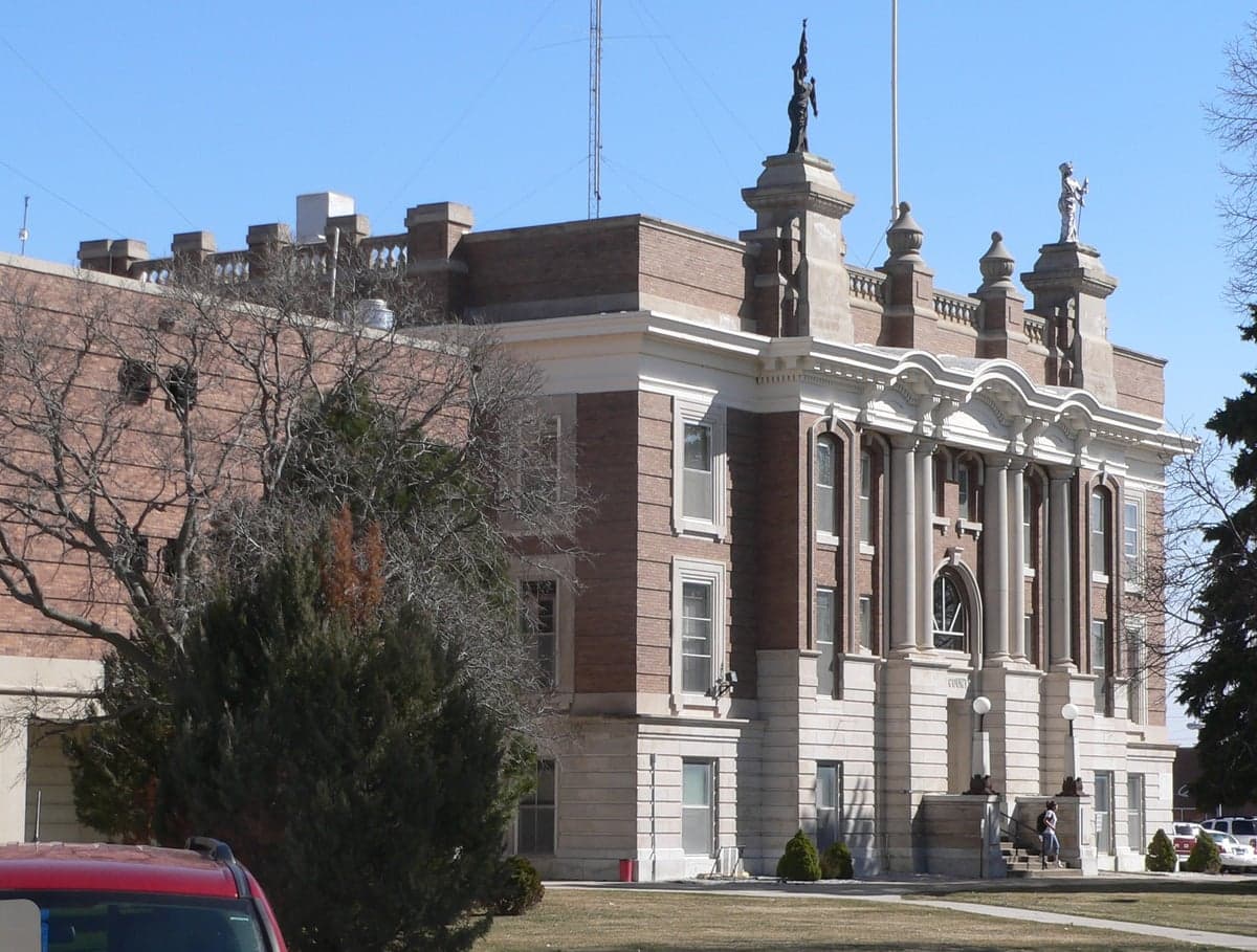
Dawson County, Nebraska, anchored by the city of Lexington and the smaller communities of Cozad, Gothenburg, and Overton, offers a strategic relocation option for those prioritizing resilience, self-sufficiency, and distance from major metropolitan vulnerabilities. Situated along the Platte River and the I-80 corridor, the county combines the logistical advantages of a major east-west transportation artery with the low population density and agricultural self-reliance of the Great Plains. For a conservative-leaning audience evaluating long-term preparedness, Dawson County presents a balanced profile: it is remote enough to avoid the primary fallout zones of the nation's largest cities, yet connected enough to access supplies and markets when conditions are stable.
Geographic position and natural advantages for long-term security
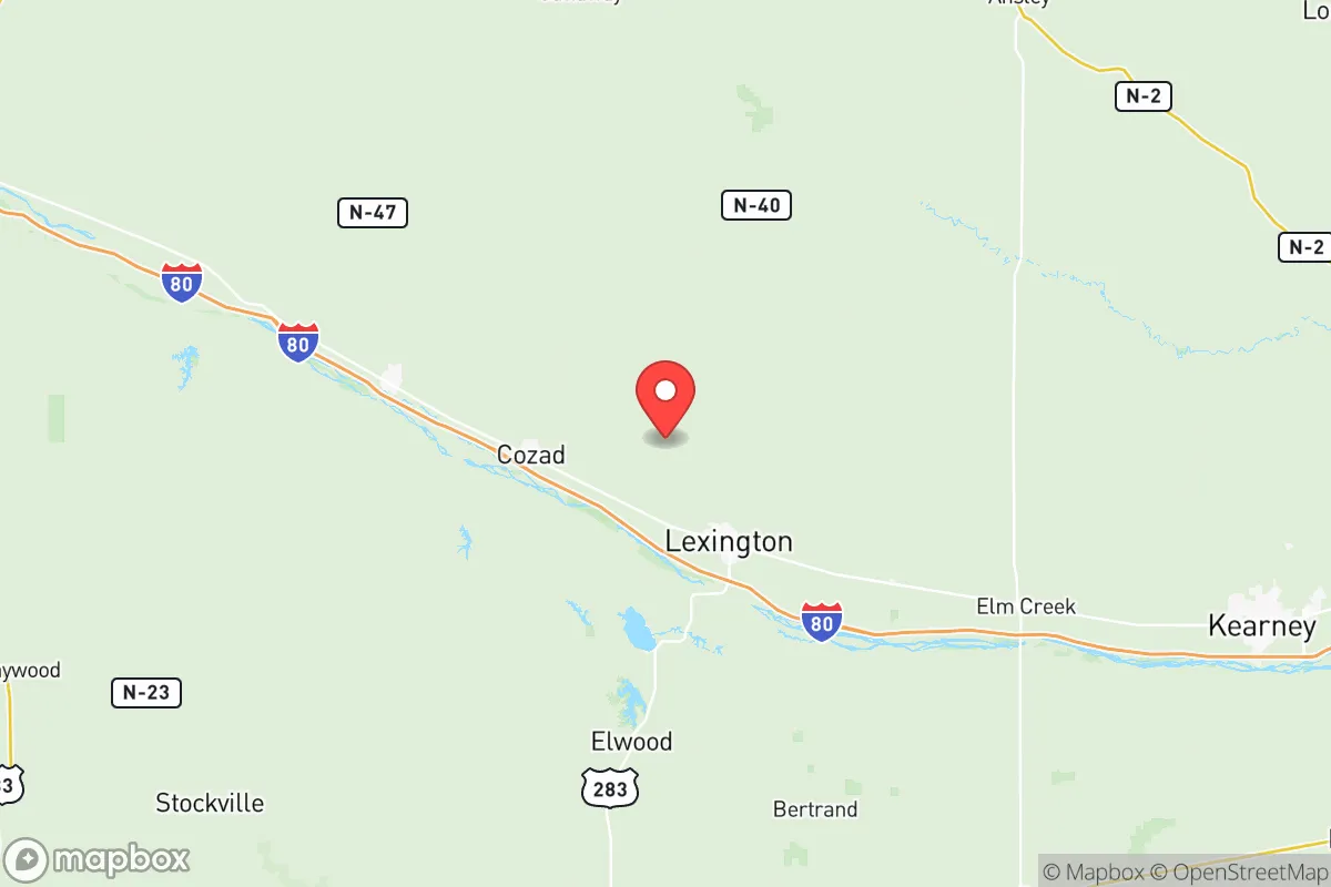
Dawson County's location in central Nebraska places it roughly 200 miles west of Omaha and 250 miles east of Denver, putting it well outside the immediate blast and fallout zones of any major metropolitan target. The county sits in the Platte River Valley, a broad, flat floodplain that provides abundant groundwater and fertile soil. This is not arid ranchland; it is irrigated cropland, primarily corn and soybeans, which means local food production capacity is high. The Platte River itself is a perennial water source, and the underlying Ogallala Aquifer provides additional groundwater reserves. The terrain offers no natural defensive chokepoints like mountains or forests, but the open landscape provides excellent visibility and makes approach detection straightforward. The climate is continental, with cold winters and hot summers, but it is not prone to hurricanes, earthquakes, or wildfires at the scale seen in coastal or mountainous regions. Tornadoes are a real seasonal risk, but the county's building stock is generally designed for them, and basements are common in older homes.
Risk exposure and proximity to fallout-relevant landmarks
The primary man-made risk for Dawson County is not direct attack but fallout drift from distant targets. The nearest high-value strategic targets are Offutt Air Force Base near Omaha (home to U.S. Strategic Command) and the Minuteman III missile silos scattered across western Nebraska and the Dakotas. Lexington is roughly 200 miles from Offutt, which is far enough to avoid blast effects but within range of prevailing westerly winds carrying fallout eastward. However, Dawson County's position west of Offutt means it would be upwind of any Omaha strike under typical weather patterns, a significant advantage. The county is also far from the nation's major refinery corridors (Texas Gulf Coast, New Jersey, Louisiana) and nuclear power plants (the nearest is Fort Calhoun near Omaha, again downwind). The Union Pacific rail yard in North Platte, about 50 miles west, is a potential conventional target, but its destruction would not produce widespread fallout. Natural risks include the aforementioned tornadoes, occasional severe winter storms that can isolate rural areas for days, and the possibility of prolonged drought affecting irrigation. Flooding along the Platte is historically manageable due to the wide, shallow river channel.
Practical resilience for a relocator: food, water, energy, and defensibility
For a family or individual serious about self-sufficiency, Dawson County offers a strong baseline. Food production is the standout advantage: the county is part of Nebraska's agricultural heartland, with local grain elevators, feedlots, and processing facilities. Lexington is home to a major Tyson Foods beef processing plant, which means a local supply of protein even in disrupted supply chains. Small-scale farming and gardening are viable due to the growing season and irrigation access. Water is abundant from the Platte River and the Ogallala Aquifer, though well drilling is necessary for rural properties; municipal water in Lexington and Cozad is treated and reliable. Energy is a mixed picture: the grid is served by the Nebraska Public Power District, which relies heavily on coal and nuclear generation (the Cooper Nuclear Station is downstream on the Missouri River). Solar and wind potential are good, and rural properties can install off-grid systems without significant regulatory hurdles. Defensibility is limited by the open terrain, but the low population density (roughly 26,000 people across 1,000 square miles) means that social friction and resource competition would be lower than in suburban or urban areas. The county's network of county roads and state highways provides multiple egress routes, though I-80 could become a chokepoint if mass evacuation occurs from the coasts. The local population is predominantly agricultural, conservative, and self-reliant, which aligns well with a preparedness-minded relocator's social environment.
Overall, Dawson County represents a moderate-to-high resilience location for those seeking a balance between isolation and access. It avoids the primary blast zones of major cities, military command centers, and industrial corridors, and its agricultural base provides a genuine food security advantage that few suburban or exurban areas can match. The trade-offs are the seasonal tornado risk, the cold winters, and the lack of natural defensive terrain. For a relocator willing to invest in a well, a backup power system, and a storm shelter, Dawson County offers a defensible, productive, and strategically sound base of operations in an uncertain future.

* Values derived from national, state, county, city and local statistics and may differ in a specific area. Last updated: 2026-07-08T16:20:11.000Z
Narrative content on this page is AI-generated and may contain mistakes. Verify any details that matter before acting on them.
ReloMaps may earn a commission from affiliate links at no extra cost to you.

