
Photo: Wikipedia
Strategic Assessment of Silver Bow County
Strong survivability profile. Good buffer from population centers, with manageable environmental and tactical risks.
What does the Strategic Assessment tell us?
Our Strategic Assessment grades tactical survivability of an area. Major population centers, military targets, fallout zones, natural disasters, and border exposure all drive risk — lower exposure means a more defensible position in a crisis.
This is heavily inspired by Joel Skousen's Strategic Relocation book. Highly recommended you checkout the book ($)What does this tell us?
Our Strategic Assessment grades tactical survivability of an area. Major population centers, military targets, fallout zones, natural disasters, and border exposure all drive risk — lower exposure means a more defensible position in a crisis.
This is heavily inspired by Joel Skousen's Strategic Relocation book. Highly recommended you checkout the book ($)Strategic Pillars

Key Distances
Strategic Assessment Analysis
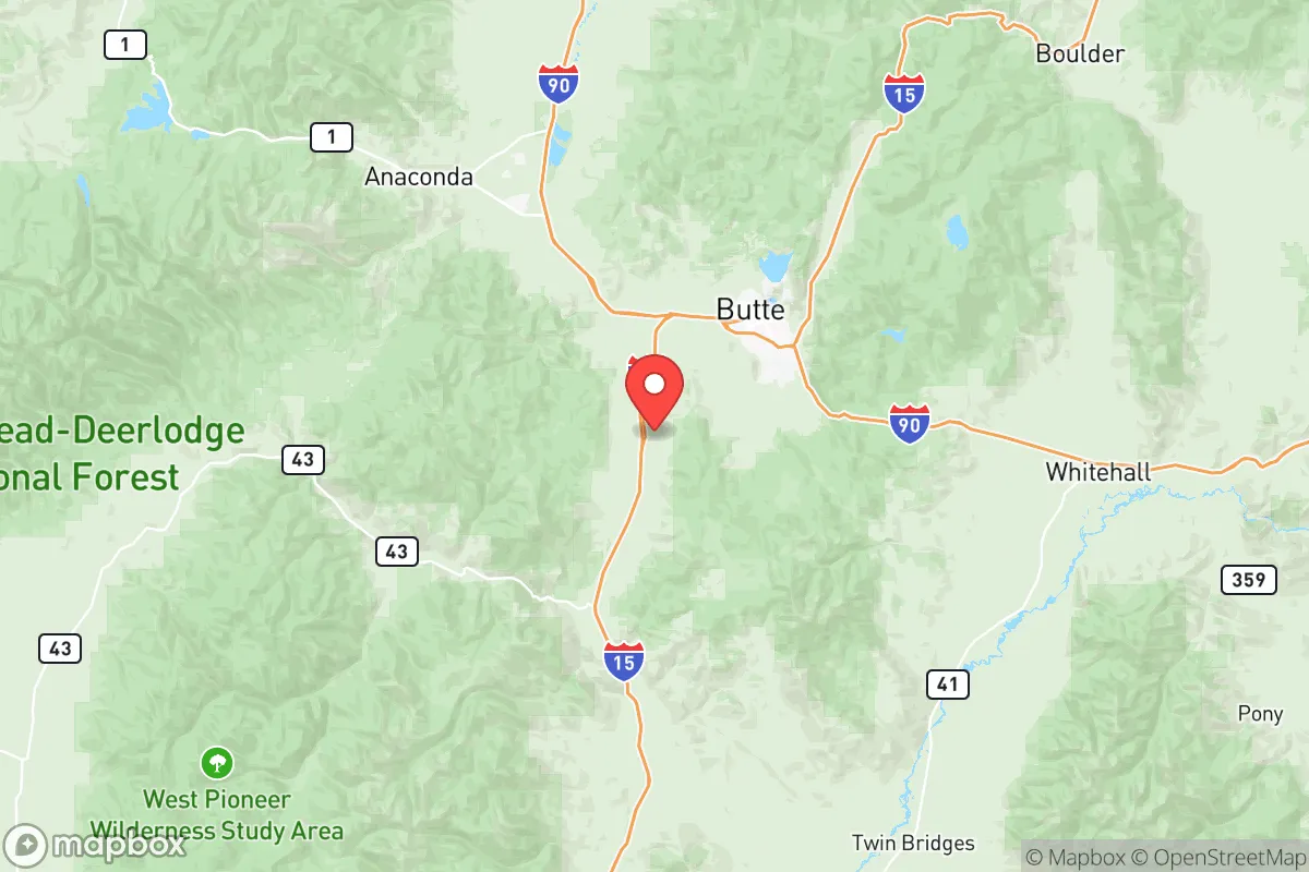
Silver Bow County, anchored by the city of Butte, offers a distinctive strategic position for relocators prioritizing resilience and self-sufficiency in the Northern Rockies. Its location along the Interstate 90 corridor provides practical access to regional hubs like Missoula (120 miles northwest) and Bozeman (90 miles east), while the county’s high elevation (averaging 5,500 feet) and mountainous terrain create natural buffers against many of the risks that plague lower-elevation, more densely populated areas. For a reader weighing disaster readiness, Silver Bow County’s combination of historical mining infrastructure, abundant water resources, and relative isolation from major metropolitan centers makes it a serious contender, though not without its own specific exposures.
Geographic position and natural advantages for long-term security
Silver Bow County sits in a bowl-shaped valley surrounded by the Continental Divide to the east and the Highland Mountains to the west, a topography that provides both defensive depth and resource access. The county’s most significant natural advantage is its water supply: the headwaters of the Clark Fork River originate here, fed by snowmelt from the surrounding peaks, and the Berkeley Pit—a former open-pit copper mine—now holds over 40 billion gallons of water, though its acidity makes it unusable without treatment. For a relocator, the practical takeaway is that surface water from the Big Hole River and Silver Bow Creek is generally reliable, and the county’s annual precipitation of roughly 12 inches is supplemented by deep aquifers in the valley floor. The area’s elevation also means cooler summers and harsh winters, which naturally limit population pressure and reduce the risk of wildfire compared to lower-elevation parts of Montana like the Bitterroot Valley. Butte’s historic mining infrastructure, including the Anaconda Smelter Stack (a 585-foot brick chimney visible for miles), serves as a landmark that also underscores the county’s industrial past—a past that left behind Superfund sites but also a network of underground mine workings that could theoretically offer shelter, though their stability is questionable.
Risks, exposures, and proximity to fallout-relevant landmarks
Silver Bow County’s primary man-made risk stems from its own industrial legacy rather than proximity to major military or nuclear targets. The Berkeley Pit and the surrounding Superfund sites (the largest in the U.S. by area) contain heavy metals and acidic water that require ongoing treatment; a collapse or breach of containment dams could contaminate local groundwater and the Clark Fork River downstream. However, for a relocator concerned with fallout from a broader conflict, the county’s distance from high-value targets is a clear advantage. The nearest major military installation is Malmstrom Air Force Base near Great Falls (150 miles northeast), which hosts Minuteman III ICBM silos and is a potential primary target. Butte itself has no strategic military value, and the county lacks refineries, ports, or major industrial complexes that would draw a first strike. The closest refinery is the Phillips 66 Billings Refinery (230 miles east), and the nearest major population center is Spokane, Washington (200 miles west). This isolation means that fallout from a nuclear exchange would likely be limited to local industrial accidents or secondary effects from distant detonations, though prevailing westerly winds could carry particulate from a strike on Malmstrom or the Hanford Site in Washington (350 miles west) under certain conditions. The county’s mountainous terrain also provides natural shielding from blast waves and fallout, though residents in the valley floor would be more exposed than those in the surrounding hills.
Practical resilience for a relocator: food, water, energy, and defensibility
For a family or individual seeking self-sufficiency, Silver Bow County offers a mixed but workable picture. Water is the strongest asset: the county’s surface water from the Clark Fork and its tributaries is plentiful, and many rural properties have access to wells that tap into the valley’s aquifers, though testing for heavy metals is advisable given the mining history. Food production is limited by the short growing season (roughly 90 frost-free days) and poor soil quality in the valley, but the surrounding mountains support wild game (elk, deer, and grouse) and the county’s ranching heritage means livestock operations are common. The Butte Farmers Market operates from June to September, and local food co-ops in Butte provide some supply-chain redundancy. Energy is a notable strength: the county is served by NorthWestern Energy, which draws from hydroelectric dams on the Missouri River system, and the area’s wind and solar potential is moderate but viable for off-grid setups. Butte’s historic mining infrastructure also includes a network of underground tunnels that could provide thermal mass for heating or cooling, though their structural integrity varies. Defensibility is where the county shines: the surrounding mountains create natural chokepoints along I-90 and the few secondary roads (like Montana Highway 2 and 43), making the area relatively easy to monitor and defend against large-scale movement. The county’s population density is low (roughly 35 people per square mile), and the nearest city of any size—Missoula—is over an hour away, reducing the risk of refugee influx in a crisis. However, the county’s reliance on a single major highway for resupply is a vulnerability; a bridge failure or blockage on I-90 near the Homestake Pass could isolate Butte for days.
The overall strategic picture for Silver Bow County is one of moderate-to-high resilience for a relocator who values isolation and resource access over proximity to modern amenities. The county’s water abundance, defensible terrain, and distance from primary targets make it a strong candidate for those prioritizing long-term security, but the industrial contamination legacy and short growing season require careful property selection and preparation. For a family willing to invest in soil remediation, water testing, and cold-weather infrastructure, Silver Bow County offers a realistic base for self-sufficiency—one that balances the risks of its mining past against the advantages of its remote, high-elevation position in the Northern Rockies. The key is to secure land above the valley floor, away from Superfund zones, and to build relationships with the local ranching community, which remains the backbone of the county’s practical resilience.

* Values derived from national, state, county, city and local statistics and may differ in a specific area. Last updated: 2026-07-10T07:15:37.000Z
Narrative content on this page is AI-generated and may contain mistakes. Verify any details that matter before acting on them.
ReloMaps may earn a commission from affiliate links at no extra cost to you.

