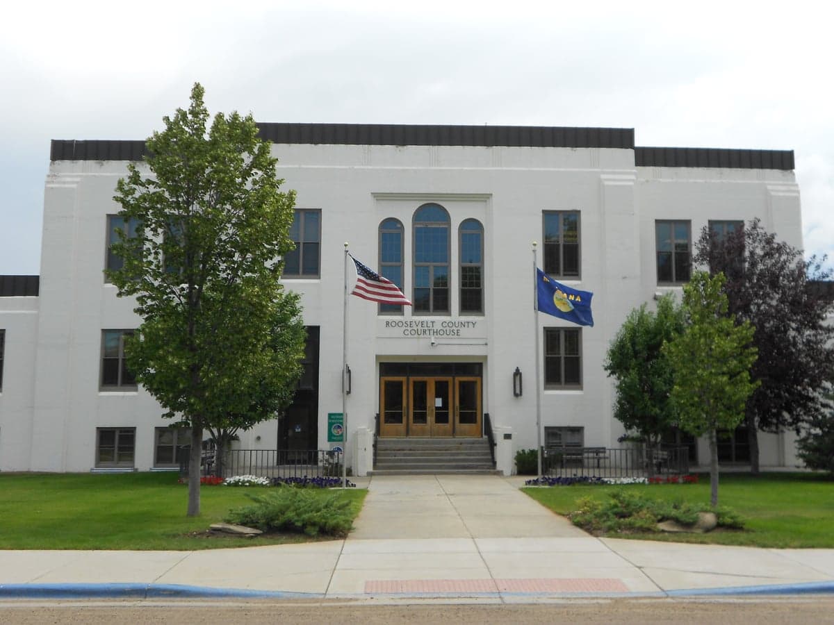
Photo: Wikipedia
Strategic Assessment of Roosevelt County
Strong survivability profile. Good buffer from population centers, with manageable environmental and tactical risks.
What does the Strategic Assessment tell us?
Our Strategic Assessment grades tactical survivability of an area. Major population centers, military targets, fallout zones, natural disasters, and border exposure all drive risk — lower exposure means a more defensible position in a crisis.
This is heavily inspired by Joel Skousen's Strategic Relocation book. Highly recommended you checkout the book ($)What does this tell us?
Our Strategic Assessment grades tactical survivability of an area. Major population centers, military targets, fallout zones, natural disasters, and border exposure all drive risk — lower exposure means a more defensible position in a crisis.
This is heavily inspired by Joel Skousen's Strategic Relocation book. Highly recommended you checkout the book ($)Strategic Pillars

Key Distances
Strategic Assessment Analysis
Roosevelt County, Montana, offers a compelling strategic profile for relocators prioritizing resilience and self-sufficiency, anchored by its remote location in the state's northeastern corner and its position along the Missouri River. The county seat of Wolf Point, along with the smaller communities of Culbertson and Bainville, sit far from major population centers and their associated vulnerabilities, providing a genuine buffer against cascading disruptions. This area's combination of agricultural productivity, water access, and low population density makes it a serious candidate for those evaluating long-term preparedness and geographic security.
Geographic position and natural advantages for long-term security
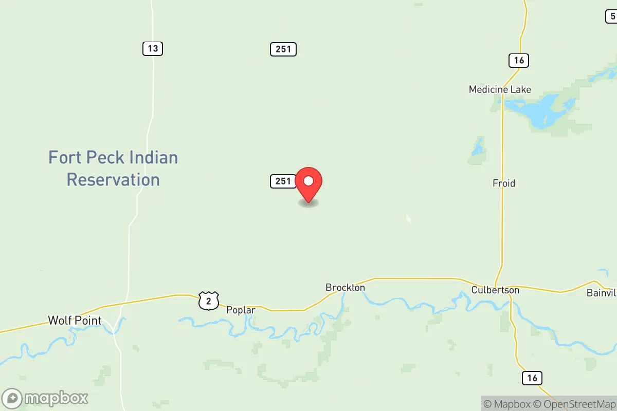
Roosevelt County's primary strategic asset is its isolation. The county spans over 2,400 square miles but holds fewer than 11,000 residents, placing it well outside the concentric risk zones that surround larger cities like Billings or Minot. The Missouri River runs through the southern portion of the county, providing a reliable surface water source that is scarce across much of the High Plains. This water access, combined with the county's position within the Prairie Pothole Region, supports both agriculture and wildlife, offering a natural food-production advantage that many relocation destinations lack. The terrain is predominantly rolling plains and river breaks, which offers decent defensibility without the isolation challenges of mountainous terrain. Winters are harsh, with average January lows near -2°F in Wolf Point, but this climate also serves as a natural deterrent to casual migration and reduces the viability of many biological threats that thrive in warmer environments.
Risk exposure and proximity to fallout-relevant landmarks
While Roosevelt County's remoteness is a strength, it is not without exposure to man-made risks. The county lies roughly 80 miles east of the Fort Peck Dam, one of the largest earth-filled dams in the world, which presents a low-probability but high-consequence failure risk that could affect downstream communities along the Missouri River corridor. More immediately relevant to a resilience-minded relocator is the county's proximity to the Bakken oil fields in western North Dakota, with Williston, North Dakota, located about 60 miles east of Culbertson. This region contains extensive oil and gas infrastructure, including refineries, pipelines, and rail terminals that could become secondary targets or accident sites during a broader disruption. The county itself hosts minor oil and gas activity, but the major industrial concentration lies just across the state line. On the positive side, Roosevelt County is far removed from any major military installations, nuclear power plants, or large metropolitan areas that would be primary targets in a conflict scenario. The nearest significant military presence is Minot Air Force Base in North Dakota, roughly 120 miles east, which is close enough to warrant awareness but far enough to avoid direct blast or fallout zones under most plausible scenarios.
Practical resilience for a relocator: food, water, energy, and defensibility
For a family or individual serious about self-sufficiency, Roosevelt County offers a realistic foundation. The Missouri River provides a year-round water source, and the alluvial aquifers along the river valley support well water at reasonable depths. The county's agricultural base means that locally produced food—primarily wheat, barley, cattle, and hay—is available, and the region's strong hunting culture provides access to wild game including deer, pheasant, and waterfowl. The growing season is short, roughly 120 days, which limits garden production but is sufficient for cold-hardy crops and root vegetables. Energy infrastructure is mixed: the county is served by rural electric cooperatives, and natural gas is available in Wolf Point and Culbertson, but grid reliability in extreme winter weather is a known concern. Wood heating is viable given the river-bottom timber, though the county lacks extensive forest cover. Defensibility is favorable due to low population density and long sight lines across the open prairie, but the dispersed settlement pattern means that mutual aid from neighbors may take time in an emergency. The county has a small law enforcement presence, with sheriff's deputies covering vast areas, so relocators should plan for self-reliance in security as well as utilities.
The overall strategic picture for Roosevelt County is one of genuine resilience tempered by practical trade-offs. Its isolation from major targets, access to the Missouri River, and agricultural capacity make it one of the more defensible relocation destinations in the northern Plains. The primary drawbacks are the harsh winter climate, proximity to Bakken energy infrastructure, and the need for substantial upfront investment in off-grid capabilities including backup heating, water storage, and food preservation. For a relocator who values distance from fallout-relevant landmarks and is willing to accept a cold, remote, and self-reliant lifestyle, Roosevelt County deserves serious consideration. The communities of Wolf Point, Culbertson, and Bainville offer small but functional service centers, and the county's low real estate costs relative to western Montana make it financially accessible for those looking to build a resilient homestead.

* Values derived from national, state, county, city and local statistics and may differ in a specific area. Last updated: 2026-07-12T04:23:55.000Z
Narrative content on this page is AI-generated and may contain mistakes. Verify any details that matter before acting on them.
ReloMaps may earn a commission from affiliate links at no extra cost to you.

