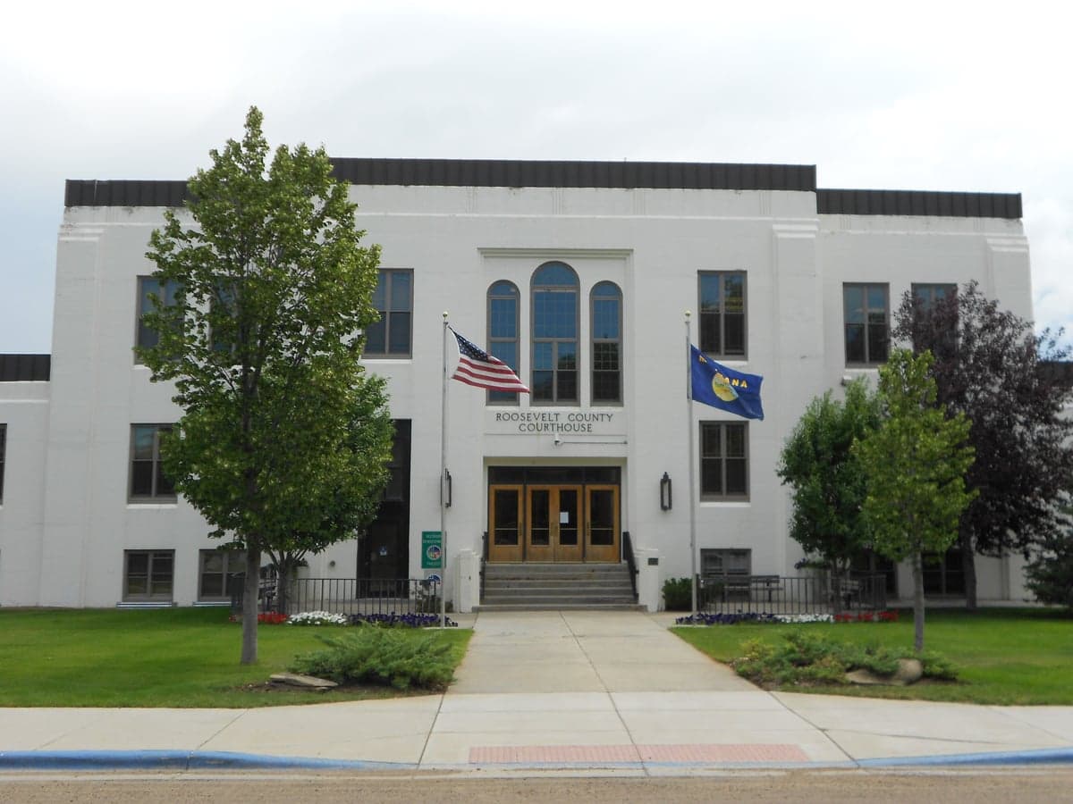
Photo: Wikipedia
Demographics of Roosevelt County
Affluence Level in Roosevelt County
A below-average socioeconomic profile. Incomes, home values, and educational attainment trail the U.S., with higher poverty and unemployment.
People of Roosevelt County
Roosevelt County, Montana, is one of the most distinctive places in the American West: a rural, sparsely populated county of 10,665 residents where the population is overwhelmingly Native American, with a white minority and virtually no foreign-born presence. The county’s identity is shaped by the Fort Peck Indian Reservation, home to the Assiniboine and Sioux tribes, which covers nearly the entire county and gives it a character far removed from the rest of Montana. With a median age in the mid-30s and a college attainment rate of just 19.9%, the population is young, family-oriented, and deeply rooted in tribal community life, but also faces economic challenges that drive out-migration.
Settlement & growth (pre-1960)
Long before any European or American settlers arrived, the area that is now Roosevelt County was the domain of nomadic Plains Indian nations. The Assiniboine (Nakoda) and the Lakota and Dakota Sioux (collectively the Oceti Sakowin) hunted bison across the vast grasslands and along the Missouri River. These tribes were the sole human inhabitants of the region for centuries, living in a seasonal cycle that followed the herds. The first non-Native presence came with the Lewis and Clark Expedition (1804–1806), which passed through the area along the Missouri, followed by fur traders who established posts like Fort Union (just north of the county line) in the 1820s. However, no permanent American settlement occurred during this period.
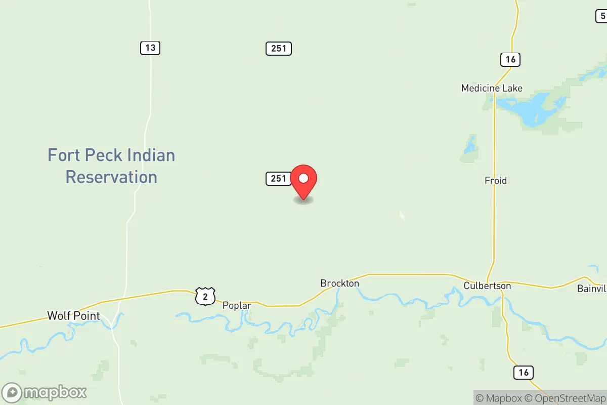
The defining event for Roosevelt County’s human history was the creation of the Fort Peck Indian Reservation in 1888, following the Great Sioux Reservation’s breakup. The reservation was established for the Assiniboine and Sioux tribes, who were confined to a 2.1-million-acre tract along the Missouri River. The county itself was created in 1919, carved from Sheridan County and named after President Theodore Roosevelt. The only significant non-Native settlement wave came with the homesteading boom of the 1910s and 1920s, when the federal government opened up "surplus" reservation lands (lands not allotted to individual tribal members) to white homesteaders under the Dawes Act. This brought a small influx of farmers of Northern European descent—primarily Norwegian, German, and Irish stock—who established dryland wheat farms. The towns of Wolf Point (the county seat), Poplar, and Brockton grew as service centers for both the reservation population and the homesteaders. Wolf Point, in particular, became the commercial hub, with a population that peaked around 3,000 in the 1930s. The Dust Bowl and Great Depression hit the region hard, and many homesteaders abandoned their claims, leaving the Native population as the demographic majority once again by the 1940s. The Fort Peck Dam, completed in 1940, brought a temporary construction boom and some new residents to the area, but the county’s population has never recovered from the post-Dust Bowl decline.
Modern era (post-1965)
The 1965 Hart-Cellar Act, which transformed U.S. immigration patterns, had virtually no impact on Roosevelt County. With a foreign-born population of just 0.4%, the county remains one of the least immigrant-receiving places in the United States. The demographic story of the modern era is instead one of Native American persistence and white out-migration. The county’s population peaked at 11,351 in 1960 and has since declined to 10,665, driven by the departure of white families seeking economic opportunities elsewhere. The Native American share of the population has risen steadily: from roughly 50% in 1970 to over 65% today, reflecting both higher birth rates among tribal members and the out-migration of white residents. The towns of Wolf Point, Poplar, and Brockton remain the primary population centers, with Wolf Point (population ~2,600) serving as the commercial and governmental hub. The smaller communities of Froid and Bainville, located in the county’s eastern agricultural fringe, are predominantly white and have seen the steepest population losses. The county’s Hispanic population (2.7%) is small but growing slightly, primarily composed of families working in agriculture and the oil fields of the nearby Bakken formation. The East/Southeast Asian population (0.8%) is negligible, and the Black population (0.1%) is virtually nonexistent. The Indian subcontinent population is 0.0%.
Suburbanization, a dominant force in much of America, has not occurred in Roosevelt County. There are no suburbs; the population is concentrated in the small towns and scattered rural homesites on the reservation. The county’s economy is dominated by tribal government, the Indian Health Service, the Bureau of Indian Affairs, and the public school system. The Fort Peck Tribes are the largest employer, followed by the Wolf Point and Poplar school districts. The Bakken oil boom in neighboring North Dakota and eastern Montana has drawn some workers, but the county has not seen the same level of energy development as its neighbors to the east. The county’s college attainment rate of 19.9% is well below the national average, reflecting the limited economic opportunities and the fact that many young people leave for college and do not return.
The future
Roosevelt County’s population is projected to continue its slow decline, with the Native American share of the population growing further as white residents continue to leave. The county’s future is tied to the fortunes of the Fort Peck Indian Reservation: if tribal economic development efforts—such as the expansion of the Aaniiih Nakoda College, the growth of tribal enterprises, and potential energy projects—succeed, the county could stabilize or even see modest growth. If they do not, the out-migration of young people will accelerate, leading to an aging population and further decline. The county is becoming more culturally homogeneous in the sense that the Native American identity is becoming even more dominant, but it is also becoming more culturally distinct from the rest of Montana. The towns of Wolf Point and Poplar will remain the anchors, but the smaller white-majority communities like Froid and Bainville may continue to shrink toward ghost-town status. The county’s Hispanic population may grow modestly as agricultural labor demand persists, but it will remain a small minority.
For someone moving in now, Roosevelt County offers a unique experience: a place where Native American culture, language, and community life are central, and where the pace of life is slow and rural. It is not a place of rapid growth or diversity in the conventional sense, but it is a place of deep roots and strong community bonds. The county’s future will be determined by whether the Fort Peck Tribes can create enough economic opportunity to keep their young people home—and whether the county can attract new residents who are drawn to its distinctive character rather than deterred by its isolation and limited job market.

* Values derived from national, state, county, city and local statistics and may differ in a specific area. Last updated: 2026-07-12T04:23:55.000Z
Narrative content on this page is AI-generated and may contain mistakes. Verify any details that matter before acting on them.
ReloMaps may earn a commission from affiliate links at no extra cost to you.

