
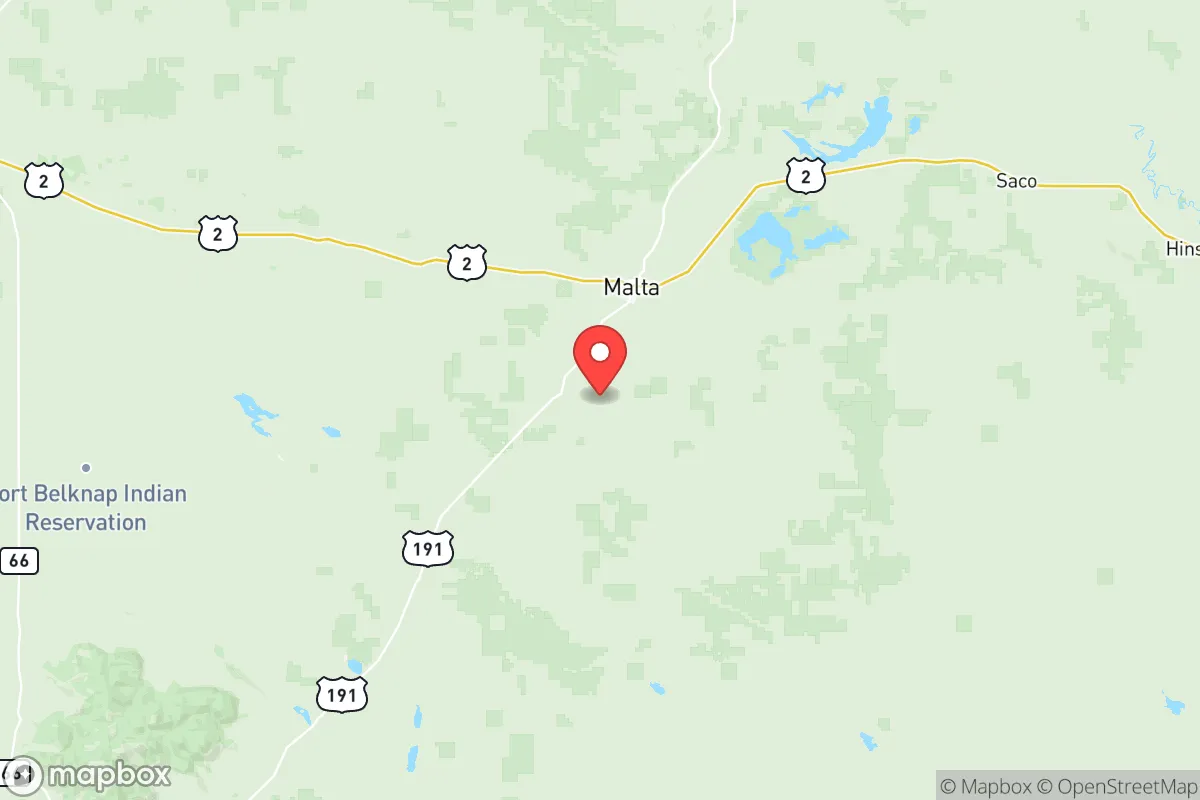
Photo: Wikipedia
Strategic Assessment of Phillips County
Deep buffer from population centers and strategic targets. Low natural disaster risk and minimal exposure to border or coastal threats.
What does the Strategic Assessment tell us?
Our Strategic Assessment grades tactical survivability of an area. Major population centers, military targets, fallout zones, natural disasters, and border exposure all drive risk — lower exposure means a more defensible position in a crisis.
This is heavily inspired by Joel Skousen's Strategic Relocation book. Highly recommended you checkout the book ($)What does this tell us?
Our Strategic Assessment grades tactical survivability of an area. Major population centers, military targets, fallout zones, natural disasters, and border exposure all drive risk — lower exposure means a more defensible position in a crisis.
This is heavily inspired by Joel Skousen's Strategic Relocation book. Highly recommended you checkout the book ($)Strategic Pillars

Key Distances
Strategic Assessment Analysis
Phillips County, Montana, offers a compelling strategic profile for those prioritizing resilience and self-sufficiency, anchored by its remote location in the Hi-Line region and its distance from major population centers and strategic targets. The county seat, Malta, serves as the primary hub, while smaller communities like Saco, Dodson, and Whitewater provide additional nodes of rural settlement. This area’s core advantage is its position far from the interstates, major military installations, and industrial corridors that define higher-risk zones, making it a viable option for those seeking a buffer from both natural and man-made disruptions.
Geographic position and natural advantages for long-term stability
Phillips County sits in the northern plains, bordered by the Missouri River to the south and the vast expanse of the Charles M. Russell National Wildlife Refuge. This geography provides a natural barrier to the south and east, limiting through-traffic and offering significant undeveloped land. The county’s elevation, averaging around 2,500 feet, places it above the floodplains of major rivers, reducing flood risk compared to areas along the Mississippi or Missouri River systems downstream. The semi-arid climate, with roughly 12 inches of annual precipitation, means fewer weather-related disruptions like hurricanes, tornadoes, or blizzards that paralyze infrastructure for weeks—though winter storms are a regular, manageable reality. The Missouri River itself, while not a year-round reliable water source for every parcel, provides a strategic water corridor for those with access, and the Milk River runs through the northern part of the county, offering additional surface water options. The area’s low population density—roughly 1.5 people per square mile—means less competition for resources in a crisis, a key factor for anyone evaluating long-term stability.
Risks, exposures, and proximity to fallout-relevant landmarks
The primary risk in Phillips County is its distance from emergency services and supply chains, not proximity to high-value targets. The nearest city of significant size is Havre, about 70 miles west, while Great Falls is roughly 150 miles southwest. This isolation is a double-edged sword: it reduces exposure to fallout from a nuclear event targeting major infrastructure, but it also means that a local disaster—like a severe winter storm or a rail accident on the BNSF line that runs through Malta—could delay external aid for days. The county is not near any major military bases (Malmstrom Air Force Base in Great Falls is the closest, at 150 miles), refineries, or major ports, which are the typical primary targets in a conflict scenario. The closest significant industrial site is the oil and gas fields of the Bakken Formation in eastern Montana and North Dakota, roughly 100 miles east, but these are diffuse rather than concentrated targets. The county’s position in the “zone of relative safety” for fallout from a strike on the Minuteman III silos in north-central Montana is a consideration—those silos are scattered, and prevailing winds typically carry fallout eastward, away from Phillips County. The real risk here is not a direct hit but the potential for secondary effects like economic collapse or supply chain interruption, which this area’s agricultural base and local food production can partially buffer against.
Practical resilience for a relocator: food, water, energy, and defensibility
For a relocator focused on self-sufficiency, Phillips County offers a strong foundation. Food security is the standout advantage: the county is part of Montana’s wheat and cattle belt, with local ranches and farms providing a direct source of protein and grain. Malta has a small but functional agricultural supply chain, including feed stores and a local co-op, which can support gardening and small-scale livestock operations. Water access is the critical variable—most rural properties rely on wells, and groundwater depth varies significantly. The Milk River and Missouri River corridors offer reliable surface water, but properties away from these rivers may require deep drilling (200-400 feet) and a backup hand pump for grid-down scenarios. Energy resilience is achievable: the area has strong solar potential (over 200 sunny days per year) and consistent wind, making off-grid solar or small wind turbines viable. Natural gas is not widely piped, so propane or wood heating is standard, and local firewood is abundant from the Missouri River breaks. Defensibility is high due to the low population density and the “see-for-miles” terrain of the plains, which provides natural surveillance. However, the open landscape also means limited cover, so a relocator should prioritize a property with a defensible perimeter—such as a draw or coulee—and a clear line of sight to approach routes. The county’s law enforcement presence is minimal (the Phillips County Sheriff’s Office in Malta covers a vast area), so community ties and mutual aid networks are essential for security. The local culture, rooted in ranching and farming, is generally self-reliant and neighborly, which aligns well with a preparedness mindset.
The overall strategic picture for Phillips County is one of trade-offs: it offers exceptional natural buffers, low target risk, and a strong agricultural base, but demands significant upfront investment in water, energy, and community integration. For a relocator who can secure a property with a reliable well, install solar or wind capacity, and build relationships with local ranchers and the Malta community, this area provides a sustainable long-term position. It is not a bug-out location for a short-term crisis—it is a place to build a life that is inherently resilient, where the daily challenges of rural living (winter isolation, distance to medical care, limited retail) are the same as the preparedness advantages. The key is to treat the move as a permanent lifestyle shift, not a temporary hedge, and to accept that the area’s greatest strength—its remoteness—is also its greatest demand on personal capability.

* Values derived from national, state, county, city and local statistics and may differ in a specific area. Last updated: 2026-07-17T01:49:45.000Z
Narrative content on this page is AI-generated and may contain mistakes. Verify any details that matter before acting on them.
ReloMaps may earn a commission from affiliate links at no extra cost to you.

