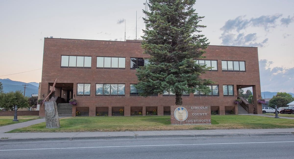
Photo: Wikipedia
Strategic Assessment of Lincoln County
Strong survivability profile. Good buffer from population centers, with manageable environmental and tactical risks.
What does the Strategic Assessment tell us?
Our Strategic Assessment grades tactical survivability of an area. Major population centers, military targets, fallout zones, natural disasters, and border exposure all drive risk — lower exposure means a more defensible position in a crisis.
This is heavily inspired by Joel Skousen's Strategic Relocation book. Highly recommended you checkout the book ($)What does this tell us?
Our Strategic Assessment grades tactical survivability of an area. Major population centers, military targets, fallout zones, natural disasters, and border exposure all drive risk — lower exposure means a more defensible position in a crisis.
This is heavily inspired by Joel Skousen's Strategic Relocation book. Highly recommended you checkout the book ($)Strategic Pillars

Key Distances
Strategic Assessment Analysis
Lincoln County, Montana, offers a compelling strategic profile for relocation-minded readers prioritizing resilience, self-sufficiency, and distance from major metropolitan vulnerabilities. Situated in the far northwestern corner of the state, the county combines low population density, abundant natural resources, and a geographic position that places it well outside the primary risk zones of nuclear fallout, industrial accidents, and cascading infrastructure failures that threaten more densely populated regions. For those evaluating locations through a lens of disaster preparedness and long-term stability, Lincoln County presents a balanced mix of advantages and trade-offs worth careful examination.
Geographic position and natural advantages for long-term stability
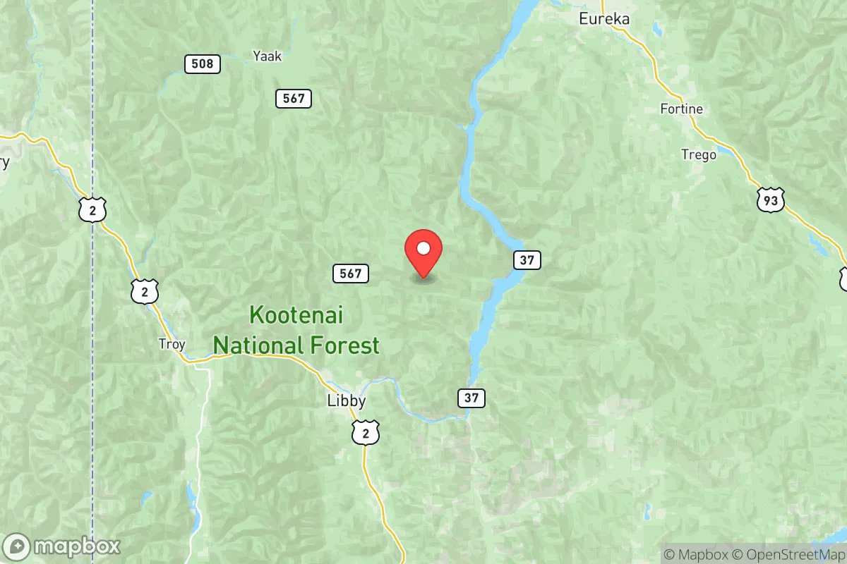
Lincoln County’s location is defined by its isolation and natural buffers. The county shares its western border with Idaho and its northern boundary with British Columbia, Canada, placing it roughly 200 miles northeast of Spokane, Washington and over 300 miles northwest of Missoula, the nearest significant population centers. This distance from major cities like Seattle, Portland, and Calgary means the area is far removed from the primary targets of a nuclear exchange—major military installations, ports, refineries, and command centers. The county’s terrain is dominated by the Kootenai National Forest and the Cabinet Mountains, with elevations ranging from 2,000 to over 8,000 feet. This rugged topography provides natural defensibility, limits large-scale development, and creates microclimates that support diverse ecosystems. The Kootenai River, which flows through the county seat of Libby, and the Fisher River near the town of Troy, offer reliable surface water sources. The county’s average annual precipitation of 20-30 inches supports forest growth and agricultural potential, though the growing season is short—typically 90-110 days—limiting large-scale crop production but enabling small-scale gardening and livestock grazing. The area’s low population density, roughly 3.5 people per square mile, reduces competition for resources and lowers the risk of disease transmission during a pandemic scenario.
Risks, exposures, and proximity to fallout-relevant landmarks
While Lincoln County’s isolation is a strength, it is not without exposure to certain risks. The county is located within the Intermountain Seismic Belt, and while major earthquakes are rare, the region experiences occasional tremors. The Libby Dam, a 422-foot-tall concrete structure on the Kootenai River, is a critical piece of infrastructure; a catastrophic failure could inundate downstream communities like Libby and Troy, though the dam is well-maintained and monitored. Wildfire is the most immediate natural threat. The 2017 Caribou Fire burned over 23,000 acres near the Canadian border, and the 2021 Kootenai Complex fires threatened structures near Eureka. The county’s heavy forest cover, combined with periodic drought, creates a moderate-to-high wildfire risk, particularly in the summer months. Regarding man-made risks, the nearest significant fallout-relevant landmarks are Fairchild Air Force Base near Spokane (approximately 180 miles southwest) and Malmstrom Air Force Base near Great Falls (roughly 250 miles east), both of which are potential targets in a conflict. However, prevailing westerly winds would carry fallout from Fairchild away from Lincoln County, and the distance from Malmstrom provides a substantial buffer. The county is not near any major refineries, nuclear power plants, or large-scale industrial complexes. The closest nuclear facility is the Columbia Generating Station near Richland, Washington, over 300 miles away. The primary risk from a distant nuclear event would be fallout from a high-yield airburst targeting Spokane or Seattle, but the mountainous terrain and distance significantly reduce the probability of dangerous contamination reaching the county. The town of Libby itself has a historical legacy of asbestos contamination from the former W.R. Grace vermiculite mine, which is now a Superfund site; while remediation is ongoing, relocators should be aware of this environmental health concern.
Practical resilience for a relocator: food, water, energy, and defensibility
For a relocator focused on self-sufficiency, Lincoln County offers a mixed but generally favorable picture. Water availability is a strong point: the Kootenai River, Fisher River, and numerous creeks and springs provide ample surface water, and groundwater is generally accessible via wells at depths of 50-200 feet. The county’s annual snowfall, averaging 40-80 inches in the valleys and over 200 inches in the mountains, provides a seasonal water reservoir that can be captured and stored. Food production is limited by the short growing season and poor soil quality in many areas, but small-scale gardening, greenhouse cultivation, and livestock raising (cattle, goats, chickens) are feasible. The county has a small but active agricultural sector, with hay, cattle, and timber being the primary outputs. Local food sources include the Libby Farmers Market and a handful of small farms and ranches, but year-round food security would require significant personal investment in storage and preservation. Energy resilience is moderate: the county is served by Flathead Electric Cooperative, which draws power from hydroelectric dams on the Kootenai and Flathead rivers, providing a relatively stable grid. However, the mountainous terrain makes the grid vulnerable to storm damage and tree falls. Solar potential is decent, with an average of 180-200 sunny days per year, though winter cloud cover and short daylight hours reduce output. Wood heating is common and practical, given the abundant forest resources. Defensibility is a key advantage: the county’s low population density, limited road network (primarily U.S. Highway 2 and Montana Highway 37), and rugged terrain make it difficult for large groups to access or traverse. The towns of Libby (population ~2,700) and Troy (~900) are small enough to maintain social cohesion and mutual aid networks, while the surrounding forest provides cover and resources for those with backcountry skills. The county’s sheriff’s office and volunteer fire departments provide basic law enforcement and emergency services, but response times in remote areas can exceed 30 minutes.
The overall strategic picture for Lincoln County is one of a resilient but resource-constrained outpost. Its primary strengths are geographic isolation, abundant water, low population density, and natural defensibility—all critical factors for a relocator prioritizing long-term survival and independence. The main weaknesses are the short growing season, wildfire risk, and limited local food production, which require proactive planning and investment. For a conservative-leaning audience valuing self-reliance, community, and distance from urban vulnerabilities, Lincoln County represents a solid choice, provided the relocator is prepared for the realities of rural life: harsh winters, limited services, and the need for hands-on resource management. It is not a prepper’s paradise, but it is a place where a determined individual or family can build a sustainable, low-risk existence far from the dangers that threaten more connected regions.

* Values derived from national, state, county, city and local statistics and may differ in a specific area. Last updated: 2026-06-15T15:48:22.000Z
Narrative content on this page is AI-generated and may contain mistakes. Verify any details that matter before acting on them.
ReloMaps may earn a commission from affiliate links at no extra cost to you.

