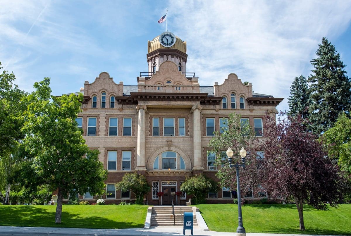
Photo: Wikipedia
Strategic Assessment of Fergus County
Strong survivability profile. Good buffer from population centers, with manageable environmental and tactical risks.
What does the Strategic Assessment tell us?
Our Strategic Assessment grades tactical survivability of an area. Major population centers, military targets, fallout zones, natural disasters, and border exposure all drive risk — lower exposure means a more defensible position in a crisis.
This is heavily inspired by Joel Skousen's Strategic Relocation book. Highly recommended you checkout the book ($)What does this tell us?
Our Strategic Assessment grades tactical survivability of an area. Major population centers, military targets, fallout zones, natural disasters, and border exposure all drive risk — lower exposure means a more defensible position in a crisis.
This is heavily inspired by Joel Skousen's Strategic Relocation book. Highly recommended you checkout the book ($)Strategic Pillars

Key Distances
Strategic Assessment Analysis
Fergus County, Montana, anchored by the county seat of Lewistown, presents a compelling strategic profile for relocation-minded individuals and families prioritizing resilience, self-sufficiency, and distance from major metropolitan vulnerabilities. Its position in the geographic center of Montana offers a rare combination of agricultural self-reliance, low population density, and significant separation from the primary fallout-relevant targets of the Pacific Northwest and the Upper Midwest, making it a serious candidate for those evaluating long-term preparedness.
Geographic position and natural advantages for long-term resilience
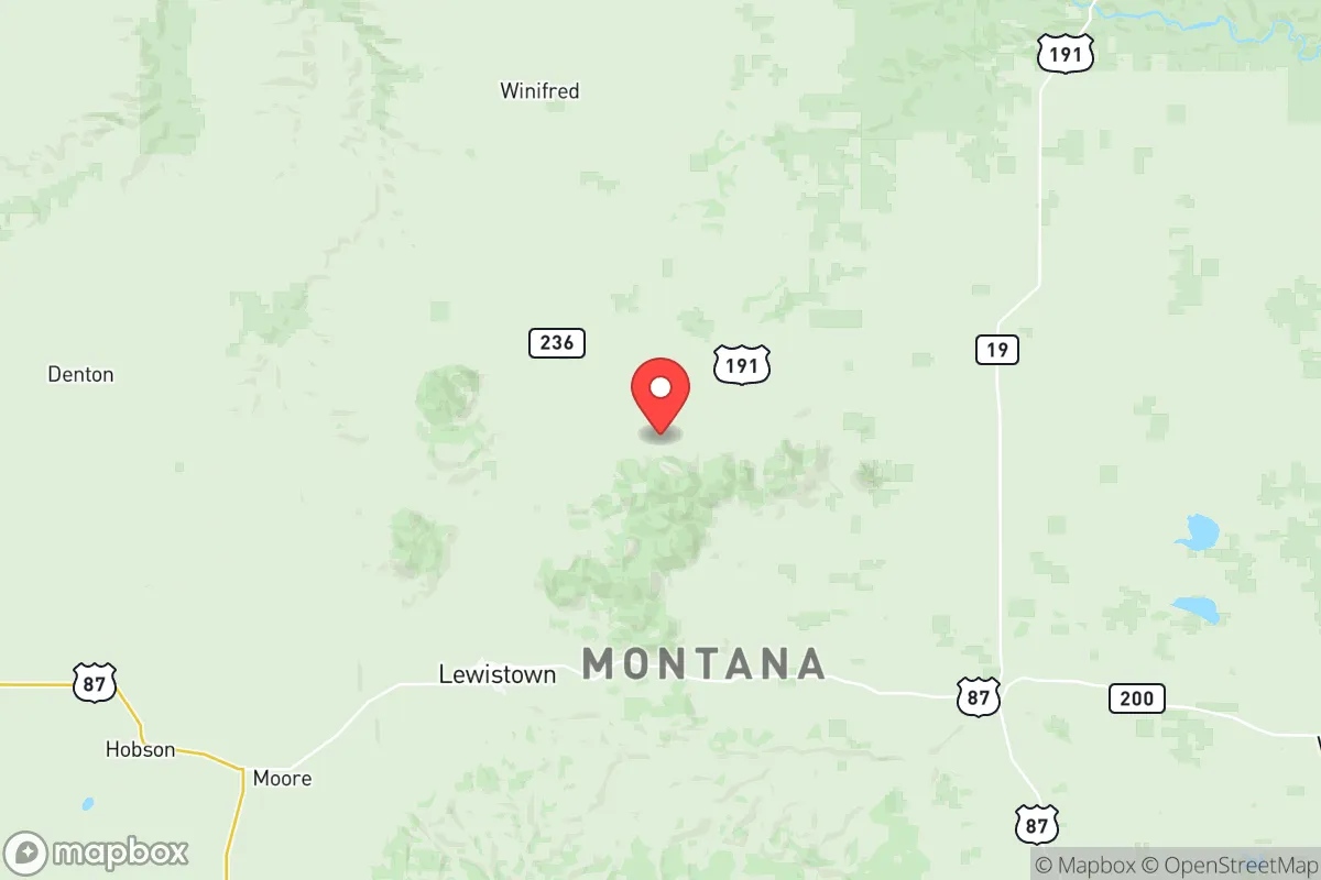
Fergus County’s location is its primary strategic asset. Sitting roughly 100 miles from the nearest Interstate highway (I-94) and over 200 miles from any city with a population exceeding 100,000 (Billings, Great Falls), the area benefits from what strategists call "strategic depth." The county encompasses the western edge of the Missouri River Breaks and the eastern slopes of the Little Belt Mountains, providing varied terrain that complicates any hypothetical ground movement while offering abundant natural water sources. The Judith River and the Big Spring Creek, which runs directly through Lewistown, provide reliable surface water—a critical advantage over much of the arid West. The area’s agricultural base is genuine: Fergus County is one of Montana’s top producers of wheat, barley, and cattle, with the Judith Basin providing some of the state’s most fertile dryland farming ground. For a relocator, this means the local food system is not a logistical chain dependent on trucking from California or Mexico—it is literally growing in the fields surrounding the county’s small towns, including Winifred, Grass Range, and Denton.
Risks, exposures, and proximity to fallout-relevant landmarks
While Fergus County is far from the obvious high-value targets of the West Coast, the Intermountain West, and the Great Plains, a sober assessment must acknowledge its proximity to certain military and industrial infrastructure. Malmstrom Air Force Base, home to the 341st Missile Wing and a significant portion of the U.S. ICBM force, lies roughly 90 miles northwest near Great Falls. This is a double-edged reality: the base itself is a potential primary target, but the prevailing westerly winds would carry fallout east-northeast, away from Fergus County, in most scenarios. The county’s position relative to the Bakken oil fields of eastern Montana and western North Dakota is also relevant—the refineries and rail terminals near Sidney and Williston are secondary targets, but again, prevailing winds and distance (over 200 miles) mitigate direct fallout risk. Within the county itself, there are no major refineries, nuclear power plants, or ports. The most significant local infrastructure is the Lewistown Municipal Airport and a handful of grain elevators and fertilizer storage facilities, none of which qualify as strategic targets. Natural risks are modest: the area lies in Seismic Zone 1 (very low earthquake risk), tornado activity is below the Great Plains average, and while wildfires occur in the surrounding national forest lands (Lewis and Clark National Forest), the agricultural valley floors are naturally fire-resistant. The primary natural hazard is winter weather—blizzards and extreme cold can isolate rural homes for days, which is a preparedness factor, not a catastrophic risk.
Practical resilience for a relocator: food, water, energy, and defensibility
For a family or individual serious about self-sufficiency, Fergus County offers a rare combination of assets. Water is the strongest card: the Big Spring Creek alone produces over 60 million gallons per day of cold, clean water, and the Judith River basin has extensive alluvial aquifers accessible by shallow wells. Most rural properties in the county have legal water rights or access to irrigation districts, a legal and practical advantage over many Western counties where water is contested. Food production is genuinely viable: the growing season is short (roughly 110-120 frost-free days) but reliable, and the county’s agricultural extension service at Montana State University’s Lewistown research station provides free, expert guidance on cold-climate gardening, grain storage, and livestock management. Local farmers’ markets in Lewistown operate from June through September, and there is a strong culture of barter and direct farm-to-consumer sales. Energy resilience is improving: while the grid is served by Northwestern Energy and is vulnerable to winter storms, the county has seen a steady increase in off-grid solar installations, and the local climate provides excellent wind resources for small-scale turbines. Wood heating is common and sustainable, with the Lewis and Clark National Forest offering firewood permits at low cost. Defensibility is inherent in the geography: the county’s low population density (roughly 2.5 people per square mile) means that any hypothetical security concern is more about isolation than confrontation. The terrain—open agricultural valleys with wooded coulees and mountain foothills—provides natural observation points and limited approach routes. The local culture is heavily armed, with a deep tradition of hunting and firearm ownership, and the Fergus County Sheriff’s Office maintains a professional, community-oriented presence with response times that are realistic for rural areas (20-40 minutes in most of the county).
The overall strategic picture for Fergus County is one of genuine, not theoretical, resilience. It is not a prepper fantasy—it is a working agricultural community where self-reliance is a daily reality, not a hobby. The trade-offs are real: winters are long and harsh, medical care is limited to the Central Montana Medical Center in Lewistown (a critical access hospital with basic surgical capability), and the nearest trauma center is in Billings, 2.5 hours away. Employment opportunities are concentrated in agriculture, education, healthcare, and county government, with limited options for remote workers who require high-speed internet outside of Lewistown itself. For the relocator who values distance from fallout-relevant targets, reliable water and food, a culture of competence, and a community that does not need to be taught how to handle a rifle or a snowplow, Fergus County offers a sober, grounded option that few other places in the continental United States can match. It is not a retreat from the world—it is a strategic position within it.

* Values derived from national, state, county, city and local statistics and may differ in a specific area. Last updated: 2026-10-25T23:19:56.000Z
Narrative content on this page is AI-generated and may contain mistakes. Verify any details that matter before acting on them.
ReloMaps may earn a commission from affiliate links at no extra cost to you.

