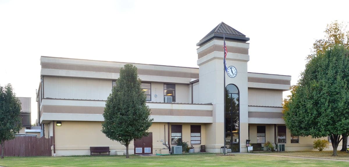
Photo: Wikipedia
Strategic Assessment of Taney County
Workable tactical position. Some exposure to population density or targets, but generally defensible in a crisis.
What does the Strategic Assessment tell us?
Our Strategic Assessment grades tactical survivability of an area. Major population centers, military targets, fallout zones, natural disasters, and border exposure all drive risk — lower exposure means a more defensible position in a crisis.
This is heavily inspired by Joel Skousen's Strategic Relocation book. Highly recommended you checkout the book ($)What does this tell us?
Our Strategic Assessment grades tactical survivability of an area. Major population centers, military targets, fallout zones, natural disasters, and border exposure all drive risk — lower exposure means a more defensible position in a crisis.
This is heavily inspired by Joel Skousen's Strategic Relocation book. Highly recommended you checkout the book ($)Strategic Pillars

Key Distances
Strategic Assessment Analysis
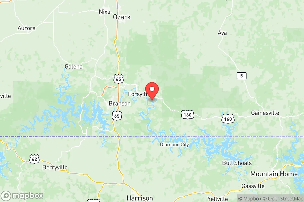
Taney County, Missouri, offers a compelling strategic position for those prioritizing resilience and self-sufficiency, balancing proximity to essential resources with a meaningful buffer from major metropolitan vulnerabilities. Nestled in the southwestern corner of the state, the county—anchored by the city of Branson and the county seat of Forsyth—sits at the edge of the Ozark Plateau, a region known for its rugged terrain, abundant freshwater, and relatively low population density. For a relocator thinking seriously about disaster readiness, Taney County’s location provides a rare combination: access to the economic and medical infrastructure of Springfield (about 40 miles north) and the recreational and logistical assets of Table Rock Lake, while remaining far enough from major industrial and military targets to reduce fallout exposure. This assessment examines the area’s geographic advantages, its exposure to natural and man-made risks, and the practical resilience factors that matter most for a self-sufficient household.
Geographic position and natural advantages for disaster preparedness
Taney County’s geography is its strongest asset for resilience. The county sits within the Ozark Plateau, a region characterized by karst topography—limestone bedrock with caves, springs, and sinkholes—which provides natural water filtration and potential shelter options. The area is dominated by the White River watershed, with Table Rock Lake and Lake Taneycomo offering massive, reliable freshwater reserves. For a relocator, this means surface water is plentiful and, with proper treatment, can sustain a household indefinitely. The terrain itself is hilly and forested, with elevations ranging from 800 to 1,500 feet, which provides natural defensibility and limits the spread of airborne contaminants compared to flat, open plains. The county’s position roughly 150 miles from the nearest major metropolitan area (St. Louis) and over 200 miles from the Kansas City metro means that a regional event—whether a grid failure, pandemic, or economic collapse—would likely see Taney County as a destination for evacuees rather than a primary impact zone. However, the county’s own population of about 57,000 (2020 census) is concentrated in Branson and Forsyth, leaving large swaths of rural land where a relocator could establish a more isolated homestead. The nearby Mark Twain National Forest and Bushwhacker Lake provide additional public land for foraging, hunting, and timber, though access is regulated.
Risks, exposures, and proximity to fallout-relevant landmarks
While Taney County avoids the worst of man-made risks, it is not immune. The most significant fallout-relevant landmark within a 100-mile radius is Fort Leonard Wood, a major U.S. Army training base located about 90 miles northeast in Pulaski County. This installation houses the U.S. Army Engineer School, Military Police School, and Chemical, Biological, Radiological, Nuclear, and Explosives (CBRNE) training facilities. In a conflict scenario, Fort Leonard Wood is a plausible target for a conventional or nuclear strike, and prevailing winds from the northeast could carry fallout into southern Missouri, including Taney County. However, the distance and the Ozarks’ hilly terrain would likely reduce particulate concentration compared to areas directly downwind. Closer to home, the Branson Airport and the Table Rock Dam (a hydroelectric facility) are potential secondary targets, though neither is a high-value strategic asset. Natural risks are more immediate: the county sits in Tornado Alley, with an average of 10-15 tornado warnings per year, and severe thunderstorms can bring flash flooding, particularly in low-lying areas near the White River and its tributaries. The karst geology also means groundwater contamination from surface spills or septic failures is a real concern. For a relocator, the primary man-made risk is not a direct strike but the secondary effects of a regional crisis—namely, an influx of refugees from Springfield or even St. Louis, which could strain local resources and infrastructure. The county’s single major highway, U.S. Route 65, runs north-south and is a likely evacuation route, meaning it could become a choke point during a crisis.
Practical resilience for a relocator: food, water, energy, and defensibility
For a household focused on self-sufficiency, Taney County offers strong fundamentals but requires deliberate planning. Water is the standout asset: Table Rock Lake and Lake Taneycomo provide year-round surface water, and the region’s high annual rainfall (about 45 inches) means rainwater catchment is viable for most of the year. However, the karst geology means well water quality varies significantly by location, and testing for nitrates and bacteria is essential before drilling. Food production is feasible but limited by the rocky, acidic soil common to the Ozarks. Raised beds, container gardening, and greenhouse cultivation are more practical than traditional row cropping. The county has a strong local food network—the Branson Farmers Market and several CSAs operate seasonally—but a relocator should plan for a 6-month growing season and supplement with stored grains and protein. Hunting and fishing are excellent: deer, turkey, and squirrel are abundant, and Table Rock Lake supports bass, crappie, and catfish. Energy resilience is mixed. The grid is served by Empire District Electric Company (now part of Liberty Utilities), which has a history of storm-related outages. Solar potential is moderate—the region averages about 200 sunny days per year—but the hilly terrain can create shading issues. Wood heating is a viable backup, with ample timber on private and public land, though air quality regulations in Branson may restrict outdoor burning. Defensibility is high in rural areas: the rugged terrain, limited road access (many county roads are gravel or unpaved), and low population density make it difficult for large groups to approach unnoticed. However, the county’s popularity as a tourist destination—Branson attracts over 8 million visitors annually—means that during a crisis, the area could see a surge of unprepared transients. A relocator should prioritize a property with a single, defensible access point, preferably off a county road rather than a state highway.
The overall strategic picture for Taney County is one of cautious optimism for a prepared relocator. Its geographic isolation, abundant water, and natural defensibility make it a strong candidate for those seeking a resilient base of operations, particularly compared to more exposed regions like the Missouri Bootheel or the I-70 corridor. The primary vulnerabilities—tornado risk, potential fallout from Fort Leonard Wood, and the seasonal tourist influx—are manageable with proper planning: a reinforced safe room, a fallout shelter with adequate filtration, and a buffer of stored supplies to weather the initial chaos of a regional evacuation. For a family or individual willing to invest in off-grid infrastructure and community integration, Taney County offers a realistic balance of security and access to essential services. The key is to act before the next crisis, not during it.

* Values derived from national, state, county, city and local statistics and may differ in a specific area. Last updated: 2026-10-23T19:10:32.000Z
Narrative content on this page is AI-generated and may contain mistakes. Verify any details that matter before acting on them.
ReloMaps may earn a commission from affiliate links at no extra cost to you.

