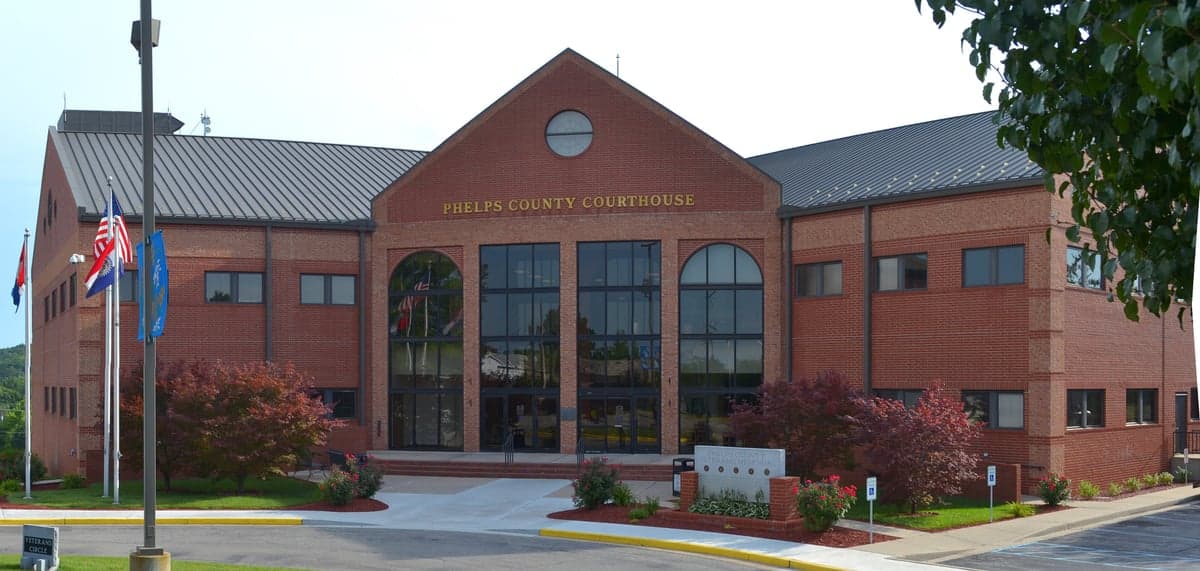
Photo: Wikipedia
Strategic Assessment of Phelps County
Strong survivability profile. Good buffer from population centers, with manageable environmental and tactical risks.
What does the Strategic Assessment tell us?
Our Strategic Assessment grades tactical survivability of an area. Major population centers, military targets, fallout zones, natural disasters, and border exposure all drive risk — lower exposure means a more defensible position in a crisis.
This is heavily inspired by Joel Skousen's Strategic Relocation book. Highly recommended you checkout the book ($)What does this tell us?
Our Strategic Assessment grades tactical survivability of an area. Major population centers, military targets, fallout zones, natural disasters, and border exposure all drive risk — lower exposure means a more defensible position in a crisis.
This is heavily inspired by Joel Skousen's Strategic Relocation book. Highly recommended you checkout the book ($)Strategic Pillars

Key Distances
Strategic Assessment Analysis
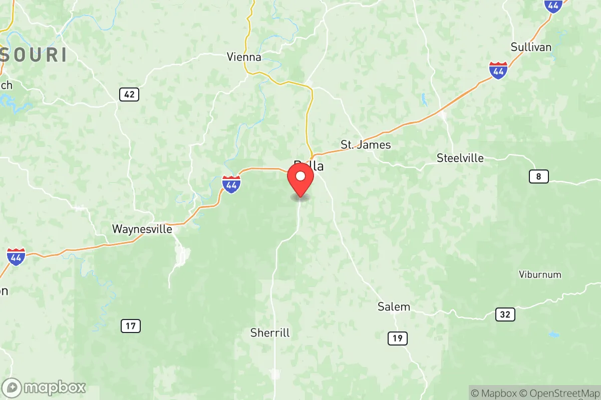
Phelps County, Missouri, anchored by the city of Rolla, offers a strategic blend of geographic isolation and practical self-sufficiency that appeals to relocation-minded individuals and families prioritizing resilience. Situated roughly 100 miles southwest of St. Louis and 90 miles northeast of Springfield, the county sits in the Ozark highlands, a region characterized by rugged terrain, abundant fresh water, and a low population density of about 45 people per square mile. This positioning provides a meaningful buffer from major metropolitan fallout zones while still granting reasonable access to urban supply chains and medical facilities in Rolla, which hosts a regional hospital and a Missouri University of Science and Technology campus. For a conservative-leaning audience focused on preparedness, Phelps County presents a defensible, resource-rich environment with fewer of the vulnerabilities found in coastal or corridor-heavy regions.
Geographic position and natural advantages for self-sufficiency
Phelps County's location in the Ozark Plateau delivers several hard advantages for long-term resilience. The area sits atop the Ozark Aquifer, one of the most productive freshwater sources in the Midwest, with numerous springs and clear-running streams like the Meramec River and Little Piney Creek providing surface water access. The topography—steep hills, forested ridges, and narrow valleys—naturally limits large-scale development and creates chokepoints that would slow any unwanted movement through the area. Over 60% of the county is forested, offering ample timber for construction, fuel, and foraging. The climate is temperate four-season, with average annual rainfall around 44 inches, supporting reliable agriculture without the drought risks of the Plains or the hurricane exposure of the Gulf Coast. For a relocator, this means a lower likelihood of crop failure and a longer growing season than many northern-tier preparedness destinations.
Risks, exposures, and proximity to fallout-relevant landmarks
While Phelps County avoids the worst of America's risk profile, it is not without exposures. The most significant man-made risk comes from its proximity to Fort Leonard Wood, a major U.S. Army training installation located just 15 miles east of Rolla in adjacent Pulaski County. This base houses the Maneuver Support Center of Excellence and trains over 80,000 soldiers annually, making it a potential target in a conflict scenario. Additionally, Interstate 44 runs through the northern edge of the county, a major east-west logistics corridor connecting St. Louis to Tulsa and beyond. In a national emergency, this highway could become a chokepoint or a vector for displaced populations. On the natural disaster front, the region sits in the New Madrid Seismic Zone, and while a major earthquake is low-probability, the Ozarks are not immune to tornadoes—Phelps County averages 3-5 tornado warnings per year, though direct hits are rare. Flooding along the Meramec and Gasconade Rivers is a periodic concern for low-lying properties, but most residential land in the county sits on elevated, well-drained terrain.
Practical resilience for a relocator: food, water, energy, and defensibility
For a family or individual serious about self-sufficiency, Phelps County checks most of the practical boxes. Water is abundant: private wells are common and typically yield clean groundwater at depths of 100-300 feet, and the county's many perennial streams offer redundancy. The soil in the river valleys is loamy and productive for gardening, while the forested hillsides support hunting for deer, turkey, and small game. Rolla hosts a Farmers Market and several local farms selling meat, eggs, and produce, but for full independence, a relocator should plan to establish their own food systems. Energy resilience is achievable: the area has good solar exposure (about 200 sunny days per year), and wood heating is practical given the forest cover. The county's low population density and limited through-roads—mainly U.S. Route 63 and I-44—make it relatively defensible compared to suburban or flatland areas. However, defensibility is not absolute: the county's 45,000 residents are spread across 674 square miles, meaning neighbors are few, and emergency response times in rural areas can exceed 20 minutes. A relocator should prioritize building community ties with like-minded locals, as isolation cuts both ways in a crisis.
The overall strategic picture for Phelps County is one of moderate-to-high resilience with manageable trade-offs. Its inland Ozark position, abundant water, and forest resources make it a strong candidate for a family seeking a prepared lifestyle away from coastal and metropolitan risks. The primary concerns—proximity to Fort Leonard Wood and the I-44 corridor—are real but localized; a relocator choosing property south of Rolla or near the Mark Twain National Forest boundary can further mitigate those exposures. For the conservative-leaning reader who values self-reliance, community, and a lower regulatory footprint, Phelps County offers a grounded, actionable option that doesn't require extreme isolation or sacrifice of modern necessities. It is not a bug-out fantasy; it is a livable, defensible, resource-secure county that rewards preparation and local engagement.

* Values derived from national, state, county, city and local statistics and may differ in a specific area. Last updated: 2026-06-20T19:26:05.000Z
Narrative content on this page is AI-generated and may contain mistakes. Verify any details that matter before acting on them.
ReloMaps may earn a commission from affiliate links at no extra cost to you.

