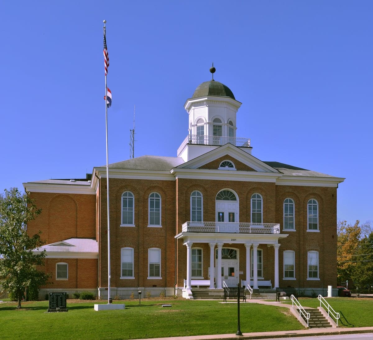
Photo: Wikipedia
Strategic Assessment of Lincoln County
Workable tactical position. Some exposure to population density or targets, but generally defensible in a crisis.
What does the Strategic Assessment tell us?
Our Strategic Assessment grades tactical survivability of an area. Major population centers, military targets, fallout zones, natural disasters, and border exposure all drive risk — lower exposure means a more defensible position in a crisis.
This is heavily inspired by Joel Skousen's Strategic Relocation book. Highly recommended you checkout the book ($)What does this tell us?
Our Strategic Assessment grades tactical survivability of an area. Major population centers, military targets, fallout zones, natural disasters, and border exposure all drive risk — lower exposure means a more defensible position in a crisis.
This is heavily inspired by Joel Skousen's Strategic Relocation book. Highly recommended you checkout the book ($)Strategic Pillars

Key Distances
Strategic Assessment Analysis
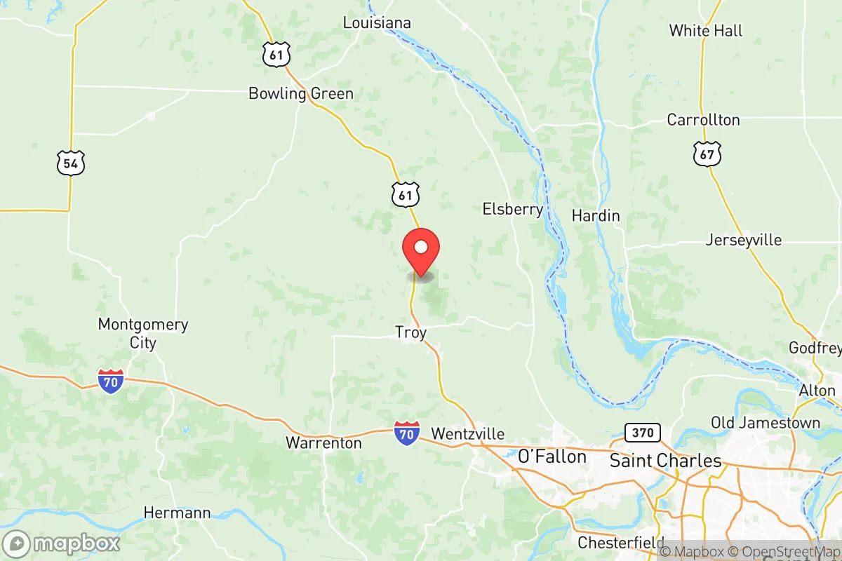
Lincoln County, Missouri, occupies a strategic position roughly 50 miles northwest of St. Louis, offering a blend of rural self-sufficiency and access to urban resources that appeals to relocation-minded individuals and families with a conservative, preparedness-oriented outlook. The county’s resilience profile is shaped by its location along the Mississippi River, its distance from major metropolitan centers, and its relative isolation from high-value man-made targets, though proximity to key infrastructure and natural hazards requires careful consideration. For a relocator focused on disaster readiness and long-term sustainability, Lincoln County presents a mixed but generally favorable picture, provided one understands the specific risks and advantages of the area.
Geographic position and natural advantages for self-sufficiency
Lincoln County’s geography is defined by its position on the western bank of the Mississippi River, with the river forming its eastern border. This provides direct access to a major waterway for potential transport and water supply, but also places the county within the floodplain of the Mississippi and its tributaries, including the Cuivre River and Big Creek. The terrain is predominantly rolling hills and fertile bottomlands, supporting a mix of row crops (corn, soybeans, wheat) and livestock operations. The county seat, Troy, sits roughly 15 miles west of the river, while smaller communities like Elsberry and Winfield lie closer to the water. The area’s agricultural base is a genuine advantage for food security: local farms and farmers’ markets in Troy and Moscow Mills provide fresh produce, meat, and dairy, and the region’s climate supports a long growing season (Zone 6a). The county’s relatively low population density—about 60 people per square mile—means more land per household, which is conducive to gardening, livestock, and rainwater catchment. The Mississippi River also offers a potential source of water for filtration, though its industrial and agricultural runoff requires robust treatment. For a relocator seeking a buffer from urban chaos, Lincoln County’s distance from St. Louis (about an hour’s drive) and its lack of major interstate highways (only US-61 and MO-79 run through) reduce the likelihood of evacuation gridlock or refugee flows during a regional crisis.
Risks, exposures, and proximity to fallout-relevant landmarks
While Lincoln County avoids the most obvious man-made threats, it is not without exposure. The most significant risk is flooding: the Mississippi River floodplain covers roughly 20% of the county, and major floods in 1993, 2008, and 2019 inundated parts of Elsberry, Winfield, and unincorporated areas near the river. Any property within the 100-year floodplain requires elevation or flood insurance. Beyond natural hazards, the county sits within 100 miles of several strategic targets. St. Louis, with its Lambert International Airport, major rail yards, and the Boeing defense plant in nearby Berkeley, is a plausible target for conventional or nuclear attack. The Callaway Nuclear Plant (about 40 miles southwest, near Fulton) is a potential radiological hazard, though its containment structures are hardened. More concerning for a fallout-conscious relocator is the proximity to Fort Leonard Wood (about 120 miles south), a major Army training base that could be a target in a conflict. Lincoln County itself has no military bases, refineries, or major industrial complexes, which is a net positive for survivability. However, the Mississippi River locks and dams (Lock and Dam 25 near Winfield) are critical infrastructure that could be targeted to disrupt river traffic, potentially causing secondary flooding or economic disruption. The county’s position downwind of St. Louis (prevailing winds are from the west-southwest) means fallout from a strike on the city would likely drift east, away from Lincoln County, but a strike on the Callaway plant or Fort Leonard Wood could deposit fallout across the region depending on wind direction. For a relocator, the key takeaway is that Lincoln County is not a zero-risk zone, but its risks are manageable with proper site selection—avoiding floodplains and choosing properties with good drainage and wind protection.
Practical resilience for a relocator: food, water, energy, and defensibility
For a family or individual serious about self-sufficiency, Lincoln County offers a workable foundation. Food security is strong: the county’s agricultural output means local sourcing is viable, and the presence of Moscow Mills Farmers Market and Troy’s weekly market provides fresh options even for those not yet growing their own. Soil quality varies—bottomlands are rich, but upland areas may require amendment for intensive gardening. Hunting and fishing are legal with licenses; deer, turkey, and small game are abundant, and the Mississippi and Cuivre rivers offer catfish and bass. Water security is more complex. Municipal water in Troy and Elsberry comes from groundwater wells, which are generally reliable but vulnerable to power outages. Private wells are common in rural areas, with depths of 100-300 feet, providing a more resilient source if equipped with a hand pump or solar-powered pump. The Mississippi River is a backup, but its water requires filtration and boiling due to agricultural runoff and industrial pollution upstream. Energy resilience is moderate: the grid is served by Ameren Missouri, which has a mixed record on outage restoration after storms. Solar potential is good (about 4.5 peak sun hours per day), and many rural properties have space for ground-mounted panels. Wood heating is practical given the county’s forest cover (about 30% wooded), but air quality regulations in Troy and Elsberry limit outdoor burning. Defensibility is a mixed bag. The county’s low population density and lack of choke points (only two major roads in and out) make it harder to secure a perimeter, but also reduce the likelihood of large-scale looting or refugee influx. Rural properties with good visibility, natural barriers (creeks, ridges), and distance from main roads offer the best security. The Lincoln County Sheriff’s Office has a visible presence in Troy and Moscow Mills, but response times in remote areas can exceed 20 minutes. For a relocator, the practical advice is to prioritize a property with a well, good southern exposure for solar, and at least 5-10 acres to buffer against neighbors and provide room for food production.
The overall strategic picture for Lincoln County is one of moderate resilience with clear trade-offs. Its distance from St. Louis and lack of high-value targets reduce the likelihood of direct attack or fallout, while its agricultural base and water access support long-term self-sufficiency. Flooding and proximity to the Callaway Nuclear Plant are the primary man-made and natural risks, but both can be mitigated through careful site selection—avoiding floodplains and choosing properties with good drainage and wind protection. For a conservative-leaning relocator who values independence, community (the county has a strong network of churches and volunteer fire departments), and a slower pace of life, Lincoln County offers a viable base for preparedness. It is not a remote bunker location, but it is a practical, defensible, and resource-rich area that balances access to urban amenities with the space and resources needed for a resilient lifestyle. The key is to go in with eyes open: understand the flood zones, test the well water, and build relationships with local farmers and neighbors before a crisis hits.

* Values derived from national, state, county, city and local statistics and may differ in a specific area. Last updated: 2026-11-15T07:14:52.000Z
Narrative content on this page is AI-generated and may contain mistakes. Verify any details that matter before acting on them.
ReloMaps may earn a commission from affiliate links at no extra cost to you.

