Photo: Wikipedia
Strategic Assessment of Johnson County
Workable tactical position. Some exposure to population density or targets, but generally defensible in a crisis.
What does the Strategic Assessment tell us?
Our Strategic Assessment grades tactical survivability of an area. Major population centers, military targets, fallout zones, natural disasters, and border exposure all drive risk — lower exposure means a more defensible position in a crisis.
This is heavily inspired by Joel Skousen's Strategic Relocation book. Highly recommended you checkout the book ($)What does this tell us?
Our Strategic Assessment grades tactical survivability of an area. Major population centers, military targets, fallout zones, natural disasters, and border exposure all drive risk — lower exposure means a more defensible position in a crisis.
This is heavily inspired by Joel Skousen's Strategic Relocation book. Highly recommended you checkout the book ($)Strategic Pillars

Key Distances
Strategic Assessment Analysis
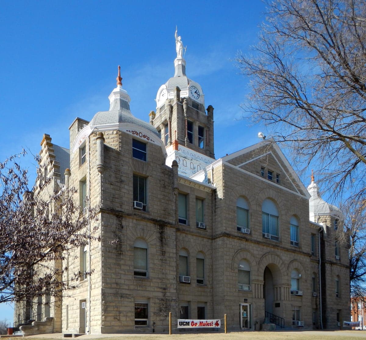
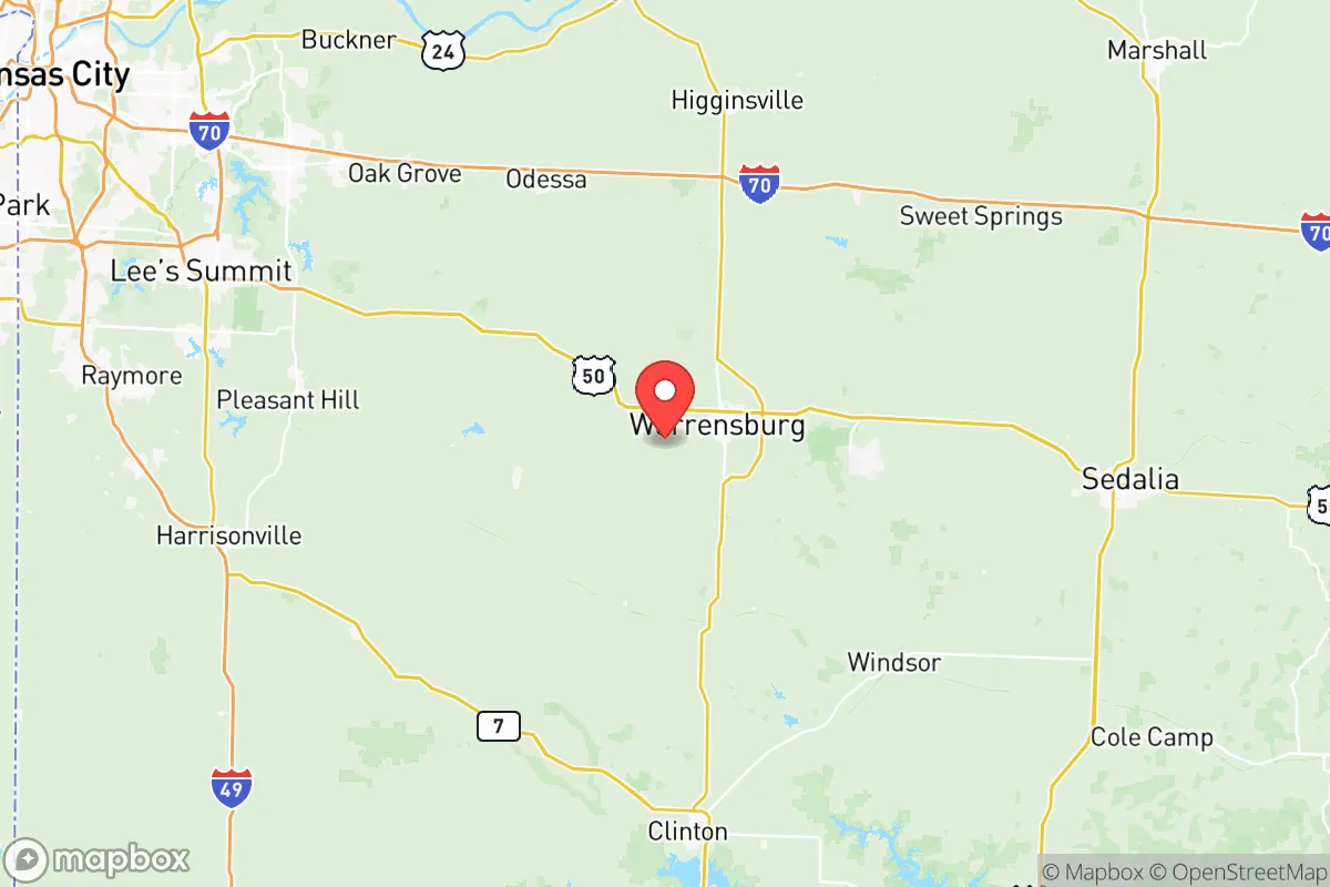
Johnson County, Missouri, offers a compelling strategic profile for relocators prioritizing resilience, self-sufficiency, and a buffer from major metropolitan vulnerabilities. Located roughly 60 miles southeast of Kansas City and 90 miles northeast of Joplin, the county sits in a sweet spot—close enough to access urban resources but far enough to avoid the immediate fallout risks, congestion, and infrastructure fragility of a major city. The county seat of Warrensburg, along with the smaller communities of Holden, Knob Noster, and Leeton, anchors a region where the land is affordable, the population density is low (roughly 55 people per square mile), and the local economy is grounded in agriculture, education, and light manufacturing. For a reader weighing disaster readiness and long-term stability, Johnson County presents a balanced mix of geographic insulation and practical livability.
Geographic position and natural advantages for long-term stability
Johnson County’s location in west-central Missouri places it within the Osage Plains, a region of rolling hills, fertile soil, and ample groundwater. The county is drained by the Blackwater River and its tributaries, providing reliable surface water sources that are less prone to the severe droughts seen further west. The terrain is not mountainous, but it offers enough topographic variation—especially in the wooded areas around Knob Noster State Park—to provide natural cover and defensible positions for a prepared homestead. The climate is temperate, with hot summers and cold winters, but it avoids the extremes of tornado alley’s core (Oklahoma and north Texas) and the hurricane risks of the Gulf Coast. Johnson County sits outside the 50-mile primary blast and fallout zone of any major military installation or nuclear power plant, a key advantage for those concerned with man-made disasters. The nearest major military base, Whiteman Air Force Base (home to the B-2 Spirit bomber), is located just 15 miles east of Knob Noster, but its strategic importance is balanced by the fact that it is a low-profile, high-security facility—not a high-density population target like Fort Hood or a refinery corridor.
Risks, exposures, and proximity to fallout-relevant landmarks
No location is without risk, and Johnson County has specific exposures that a strategic relocator must weigh. The most significant man-made risk is the proximity to Whiteman Air Force Base. While the base itself is not a primary target in a major conflict (given its remote location and hardened facilities), any large-scale conflict involving strategic bombers could make the surrounding area a secondary concern. Within a 30-mile radius of the base, the risk of ground contamination from a direct strike is low, but the potential for military-related traffic, checkpoints, or temporary evacuation orders is real. Additionally, Johnson County lies within the broader Kansas City metropolitan area’s economic and logistical shadow. A major disaster in Kansas City—whether natural (a large tornado) or man-made (a terrorist event or industrial accident)—could trigger a surge of evacuees heading southeast along US-50 and I-70, potentially overwhelming local resources. The county is also in a region with moderate tornado risk; the 2019 tornado that struck nearby Eldon (about 30 miles east) is a reminder that severe weather is a factor. However, the county’s low population density and lack of major industrial targets (no refineries, no chemical plants, no major ports) mean that the most likely disaster scenarios are weather-related, not fallout-related. The nearest major refinery is in Coffeyville, Kansas (about 150 miles southwest), and the nearest nuclear plant is the Callaway Plant in Fulton, Missouri (about 120 miles east)—both far enough to be irrelevant for immediate fallout concerns.
Practical resilience for a relocator: food, water, energy, and defensibility
For a relocator focused on self-sufficiency, Johnson County offers strong fundamentals. Agricultural land is abundant and affordable, with average farmland prices around $4,000–$6,000 per acre as of 2025, well below national averages. The county is a leading producer of soybeans, corn, and hay, and small-scale livestock operations (cattle, poultry) are common. Water access is reliable: the Blackwater River and numerous creeks provide surface water, and the Ozark Aquifer (a deep, high-quality groundwater source) underlies the region. Most rural properties have wells, and the county’s water districts are well-maintained. For energy, the grid is served by Evergy (formerly Kansas City Power & Light), which has a mixed portfolio of coal, natural gas, and renewables. Solar potential is moderate (about 4.5 peak sun hours per day), but the region’s frequent cloud cover in winter makes battery backup and a backup generator a wise investment. Wood heating is viable given the county’s 30% forest cover, and propane is widely available for off-grid cooking and heating. Defensibility is a mixed picture: the open farmland offers long sightlines but limited cover, while the wooded areas around Knob Noster and the Blackwater River valley provide natural concealment. The county’s low crime rate (violent crime is roughly 30% below the national average) means that day-to-day security is less of a concern than in urban areas, but a prepared relocator should still consider a rural property with a good well, a garden plot, and a defensible perimeter. Local emergency services are volunteer-based in many towns, so a personal first-aid kit, a ham radio license, and a stored supply of prescription medications are practical steps.
The overall strategic picture for Johnson County is one of moderate resilience with manageable risks. It is not a remote bunker location—it is a working agricultural county with a small-town feel, good infrastructure, and a population that is generally self-reliant and community-oriented. The proximity to Whiteman Air Force Base is a double-edged sword: it provides economic stability (the base employs over 4,000 people) but introduces a low-probability, high-consequence risk. For a relocator who wants to be within a few hours of Kansas City’s hospitals and supply chains but far enough to avoid the worst of a major urban crisis, Johnson County is a solid choice. The key is to choose a property that is not directly downhill from the base, has its own water source, and is positioned to take advantage of the county’s agricultural strengths. For the serious prepper or the family seeking a quieter, more resilient life, Johnson County offers a realistic middle ground—not a fantasy of total isolation, but a workable, defensible, and resource-rich environment.

* Values derived from national, state, county, city and local statistics and may differ in a specific area. Last updated: 2026-06-29T07:31:34.000Z
Narrative content on this page is AI-generated and may contain mistakes. Verify any details that matter before acting on them.
ReloMaps may earn a commission from affiliate links at no extra cost to you.

