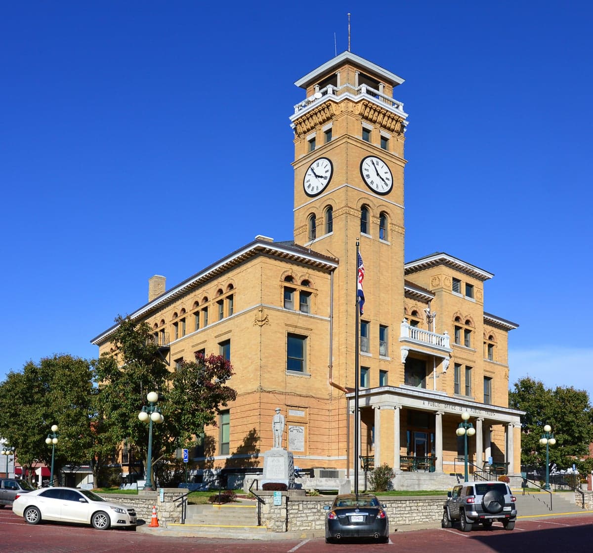
Photo: Wikipedia
Strategic Assessment of Cass County
Workable tactical position. Some exposure to population density or targets, but generally defensible in a crisis.
What does the Strategic Assessment tell us?
Our Strategic Assessment grades tactical survivability of an area. Major population centers, military targets, fallout zones, natural disasters, and border exposure all drive risk — lower exposure means a more defensible position in a crisis.
This is heavily inspired by Joel Skousen's Strategic Relocation book. Highly recommended you checkout the book ($)What does this tell us?
Our Strategic Assessment grades tactical survivability of an area. Major population centers, military targets, fallout zones, natural disasters, and border exposure all drive risk — lower exposure means a more defensible position in a crisis.
This is heavily inspired by Joel Skousen's Strategic Relocation book. Highly recommended you checkout the book ($)Strategic Pillars

Key Distances
Strategic Assessment Analysis
Cass County, Missouri, offers a compelling mix of Midwestern stability and strategic positioning for those prioritizing resilience and self-sufficiency. Located just south of the Kansas City metro, the county provides a buffer from dense urban vulnerabilities while maintaining access to critical infrastructure and supply lines. Its agricultural base, relatively low population density, and distance from major coastal or industrial fallout targets make it a location worth serious consideration for families and individuals focused on long-term preparedness and disaster readiness.
Geographic position and natural advantages for long-term stability
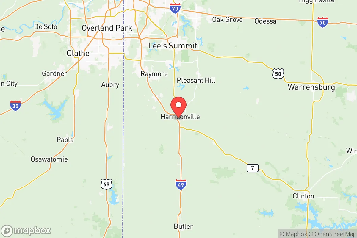
Cass County sits in the rolling plains of western Missouri, a region known for its fertile soil, moderate climate, and reliable rainfall. The county seat, Harrisonville, lies roughly 40 miles south of downtown Kansas City, placing residents far enough from the urban core to avoid the worst of a metropolitan crisis, yet close enough to access medical centers, supply chains, and employment hubs when conditions are stable. Other key communities include Belton, Raymore, Peculiar, and Garden City, each offering varying degrees of rural character and local governance. The area's topography is gently rolling, with no floodplain dominance outside of the South Grand River corridor, meaning most of the county is well-drained and suitable for agriculture or private development. The climate supports a growing season of roughly 180 days, which is favorable for food production, and the region is not prone to hurricanes, earthquakes, or wildfires at the scale seen in the West or Gulf Coast. Water availability is a strong point: the county sits atop the Ozark Plateau aquifer system, and numerous creeks and rivers, including the South Grand and Marais des Cygnes River, provide surface water options for those with proper filtration and rights.
Risks, exposures, and proximity to fallout-relevant landmarks
While Cass County avoids the highest-risk zones for nuclear fallout from a major strike, it is not without exposure. The primary concern is its proximity to Whiteman Air Force Base, located roughly 50 miles east in Johnson County, Missouri. Whiteman is home to the B-2 Spirit stealth bomber and is a high-priority target in any major conflict scenario. Depending on wind patterns, fallout from a strike on Whiteman could affect eastern portions of Cass County, particularly around Garden City and Creighton. Additionally, the county lies within 100 miles of the Kansas City metropolitan area, which hosts major transportation hubs, rail yards, and industrial facilities that could be secondary targets or generate cascading economic disruptions. On the positive side, there are no major oil refineries, nuclear power plants, or large-scale chemical facilities within Cass County itself. The nearest refinery is in Coffeyville, Kansas, over 100 miles southwest, and the Wolf Creek Generating Station (nuclear) is near Burlington, Kansas, roughly 90 miles southwest. Natural disaster risks are moderate: tornadoes are a genuine threat, as the county sits in the heart of Tornado Alley. The 2003 Pleasant Hill tornado and the 2019 Harrisonville tornado serve as local reminders that severe weather preparedness is non-negotiable. Flooding is localized and manageable, primarily affecting low-lying areas near the South Grand River. Overall, the risk profile is moderate but manageable with proper planning, especially compared to coastal or refinery-heavy regions.
Practical resilience for a relocator: food, water, energy, and defensibility
For those serious about self-sufficiency, Cass County offers a strong foundation. The county is one of Missouri's leading agricultural producers, with extensive corn, soybean, and hay fields, as well as cattle and poultry operations. This means local food sourcing is viable, and farmers' markets in Harrisonville and Belton operate regularly. Soil quality is excellent for private gardens, and many rural properties already have wells or access to groundwater. Water rights are generally straightforward for private use, though new well permits require county approval. Energy resilience is mixed: the grid is served by Evergy, which has a moderate reliability record, but rural areas are more prone to outage during storms. Solar potential is adequate, with roughly 200 sunny days per year, and many residents supplement with propane or diesel generators. Natural gas is widely available in towns but less so in outlying areas. Defensibility is a key advantage: the county's layout features a mix of open farmland and wooded creek bottoms, offering both visibility and cover. Rural properties with long driveways, perimeter fencing, and good sightlines are common and affordable. The county's law enforcement presence is modest — the Cass County Sheriff's Office covers a large area with limited deputies — which means community watch and personal security measures are more important than in dense urban jurisdictions. Gun ownership is common, and Missouri has permissive firearm laws, including constitutional carry. For those looking to build a resilient homestead, Cass County provides a realistic balance of access, resources, and relative safety.
The overall strategic picture for Cass County is one of cautious optimism. It is not a remote bunker location, nor is it a high-risk urban zone. It sits in a Goldilocks zone: close enough to Kansas City for work, healthcare, and supply runs, but far enough to offer genuine rural living and a degree of separation from major threats. The presence of Whiteman Air Force Base is the single largest strategic risk, but for most scenarios short of full-scale nuclear war, the county's agricultural capacity, water resources, and community structure make it a strong candidate for relocation. For the conservative-leaning family or individual who values preparedness, local governance, and land ownership, Cass County deserves a spot on the short list.

* Values derived from national, state, county, city and local statistics and may differ in a specific area. Last updated: 2026-07-30T20:50:18.000Z
Narrative content on this page is AI-generated and may contain mistakes. Verify any details that matter before acting on them.
ReloMaps may earn a commission from affiliate links at no extra cost to you.

