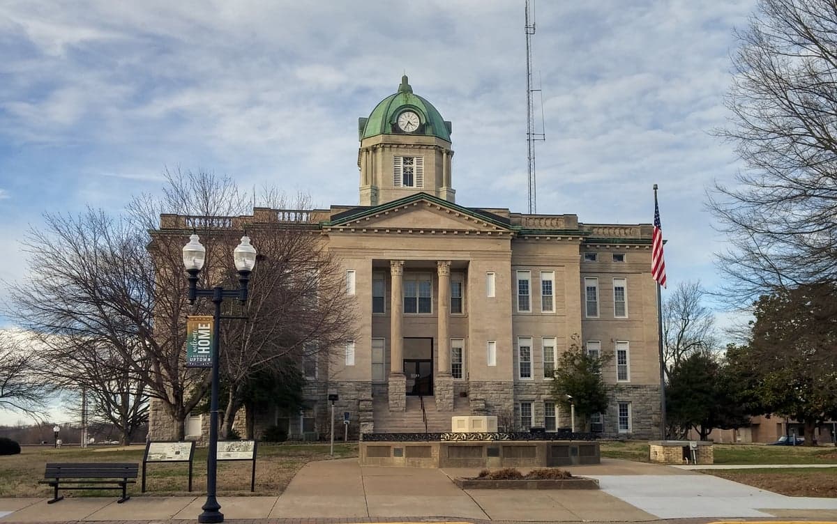
Photo: Wikipedia
Strategic Assessment of Cape Girardeau County
Workable tactical position. Some exposure to population density or targets, but generally defensible in a crisis.
What does the Strategic Assessment tell us?
Our Strategic Assessment grades tactical survivability of an area. Major population centers, military targets, fallout zones, natural disasters, and border exposure all drive risk — lower exposure means a more defensible position in a crisis.
This is heavily inspired by Joel Skousen's Strategic Relocation book. Highly recommended you checkout the book ($)What does this tell us?
Our Strategic Assessment grades tactical survivability of an area. Major population centers, military targets, fallout zones, natural disasters, and border exposure all drive risk — lower exposure means a more defensible position in a crisis.
This is heavily inspired by Joel Skousen's Strategic Relocation book. Highly recommended you checkout the book ($)Strategic Pillars

Key Distances
Strategic Assessment Analysis
Cape Girardeau County offers a compelling mix of strategic depth and practical resilience for those prioritizing disaster readiness and self-sufficiency. Anchored by the city of Cape Girardeau and stretching to the Mississippi River, the county benefits from a position that is far enough from major metropolitan targets to avoid primary fallout zones, yet close enough to critical infrastructure and supply chains. Its location along the Mississippi River, combined with a robust local economy and a conservative, community-oriented culture, makes it a serious contender for relocators who value preparedness without sacrificing access to modern amenities.
Geographic position and natural advantages for long-term security
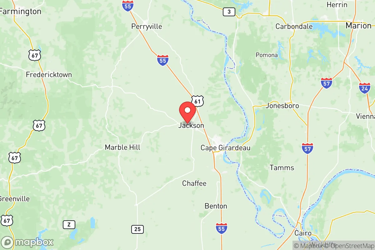
Cape Girardeau County sits in a unique geographic pocket in southeastern Missouri, bordered by the Mississippi River to the east and the rolling hills of the Ozark foothills to the west. This positioning provides several natural advantages. The Mississippi River serves as a reliable water source and a potential transportation corridor for supplies, while the surrounding bluffs and forested areas offer natural cover and defensible terrain. The county is roughly 100 miles south of St. Louis and 150 miles north of Memphis, placing it outside the immediate blast and fallout zones of those major population centers. The local topography—characterized by limestone bluffs, creek valleys, and mixed hardwood forests—creates natural barriers that can slow the spread of wildfires or provide concealment. The area also sits in a relatively low-risk zone for tornadoes compared to the central Plains, though severe weather is still a factor. The presence of the Mississippi River and the Trail of Tears State Park (just north of Cape Girardeau) provides both recreational resources and potential emergency water access.
Risks, exposures, and proximity to fallout-relevant landmarks
While Cape Girardeau County is not a primary target, it is not immune to risks. The most significant man-made exposure comes from the Scott City area, which hosts a major Union Pacific rail yard and a Bunge grain elevator—both potential targets for sabotage or industrial accidents. The county is also within 50 miles of the Perryville area, which has a large ammunition plant (Lake City Army Ammunition Plant) that could be a secondary target in a conflict scenario. The Mississippi River itself poses a flood risk, particularly in low-lying areas like East Cape Girardeau and parts of Jackson, though the city of Cape Girardeau has extensive flood walls. Natural disaster risks include occasional ice storms, flash flooding from heavy rains, and the rare but real possibility of a New Madrid Seismic Zone earthquake—the county sits within the zone's moderate risk area. A major quake could disrupt river transport and damage infrastructure, though the local bedrock provides some stability. The county's distance from major military bases like Fort Leonard Wood (about 150 miles west) and Scott Air Force Base (about 90 miles north) reduces its attractiveness as a secondary target, but the rail and river infrastructure still warrant attention.
Practical resilience for a relocator: food, water, energy, and defensibility
For a relocator focused on self-sufficiency, Cape Girardeau County offers strong fundamentals. Food security is a major asset: the county is part of Missouri's agricultural heartland, with extensive farmland producing corn, soybeans, and livestock. Local farmers' markets in Cape Girardeau and Jackson operate year-round, and the SEMO (Southeast Missouri) region is known for its produce, including melons, tomatoes, and sweet corn. The Mississippi River provides a reliable water source, though well water is common in rural areas and generally of good quality. The county's energy infrastructure is robust: the Rush Island Energy Center (a coal-fired plant) is located just south in Jefferson County, and the Prairie State Energy Campus (a coal plant) is about 60 miles east in Illinois. Natural gas pipelines run through the region, and solar adoption is growing, particularly in rural areas. For defensibility, the county's mix of open farmland and wooded hills offers both visibility and cover. The Mississippi River bluffs provide natural chokepoints, and the county's network of state highways (including Route 74 and Route 25) offers multiple egress routes. The local culture is heavily oriented toward hunting, fishing, and outdoor skills, with a strong tradition of community mutual aid. The Cape Girardeau County Sheriff's Office and local police departments maintain good response times, but in a prolonged crisis, the rural areas would rely heavily on neighbor networks.
The overall strategic picture for Cape Girardeau County is one of balanced resilience. It avoids the high-risk exposure of coastal or major metropolitan areas while retaining access to critical resources like water, food, and energy. The county's conservative political leanings and strong community ties align well with a preparedness mindset, and its location along the Mississippi River provides both a lifeline and a potential vulnerability. For a relocator seeking a place that is not a primary target, has defensible terrain, and offers a realistic path to self-sufficiency, Cape Girardeau County represents a solid, grounded option—one that requires preparation but does not demand extreme isolation. The key is to choose a location away from the river floodplain and the rail corridors, ideally in the western or northern parts of the county, where the hills and farmland provide the best balance of security and sustainability.

* Values derived from national, state, county, city and local statistics and may differ in a specific area. Last updated: 2026-06-15T10:44:05.000Z
Narrative content on this page is AI-generated and may contain mistakes. Verify any details that matter before acting on them.
ReloMaps may earn a commission from affiliate links at no extra cost to you.

