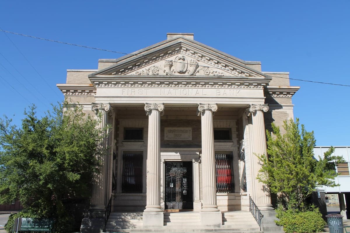
Photo: Wikipedia
Strategic Assessment of Washington County
Workable tactical position. Some exposure to population density or targets, but generally defensible in a crisis.
What does the Strategic Assessment tell us?
Our Strategic Assessment grades tactical survivability of an area. Major population centers, military targets, fallout zones, natural disasters, and border exposure all drive risk — lower exposure means a more defensible position in a crisis.
This is heavily inspired by Joel Skousen's Strategic Relocation book. Highly recommended you checkout the book ($)What does this tell us?
Our Strategic Assessment grades tactical survivability of an area. Major population centers, military targets, fallout zones, natural disasters, and border exposure all drive risk — lower exposure means a more defensible position in a crisis.
This is heavily inspired by Joel Skousen's Strategic Relocation book. Highly recommended you checkout the book ($)Strategic Pillars

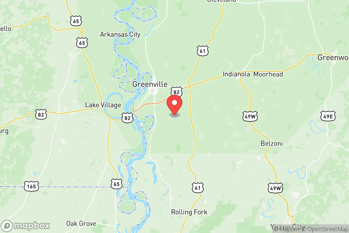
Key Distances
Strategic Assessment Analysis
Washington County, Mississippi, offers a strategic relocation option for those prioritizing resilience and self-sufficiency, balancing the quiet stability of the Mississippi Delta with proximity to critical infrastructure. The county seat, Greenville, anchors a region that has weathered economic shifts and natural challenges, emerging as a place where land is affordable, community ties are strong, and the pace of life allows for genuine preparedness. For a single individual or family thinking seriously about disaster readiness, this area presents a mix of genuine geographic advantages and real-world risks that demand clear-eyed assessment.
Geographic position and natural advantages for self-sufficiency
Washington County sits along the Mississippi River in the heart of the Delta, a flat, fertile floodplain that has supported agriculture for centuries. The county's position offers several inherent resilience benefits. The land is extremely flat and open, which means long sightlines and minimal terrain that could conceal threats or complicate evacuation. The soil is among the richest in the country, making small-scale farming, gardening, and livestock operations highly viable. The growing season is long, typically from March through October, allowing for multiple crop cycles. Water is abundant: the Mississippi River forms the western border, and the county is crisscrossed by bayous, oxbow lakes, and the Deep South's high water table. For a relocator, this means access to surface water for irrigation and, with proper treatment, drinking water is far easier than in arid regions. The climate is humid subtropical, with hot summers and mild winters, reducing heating fuel needs and allowing year-round food production in protected structures. Greenville itself is the commercial hub, with a population around 28,000, while smaller communities like Leland, Metcalfe, and Arcola offer more rural, low-density living. The county's location is roughly 90 miles north of the Louisiana state line and 120 miles south of Memphis, Tennessee, placing it within a day's drive of major markets but far enough from dense urban centers to avoid their immediate collapse risks.
Risks, exposures, and proximity to fallout-relevant landmarks
No resilience assessment is honest without confronting the area's vulnerabilities. Washington County's primary natural risk is flooding from the Mississippi River. The Delta is a floodplain by design, and while the levee system is maintained by the U.S. Army Corps of Engineers, catastrophic failures are possible during extreme weather events. The 1927 and 2011 floods demonstrated the region's susceptibility. Residents in unincorporated areas and along the river should have flood insurance and an evacuation plan for rising water. Tornadoes are a genuine threat; the county lies in the heart of Dixie Alley, and severe weather outbreaks can produce violent, fast-moving tornadoes with little warning. A safe room or storm shelter is a practical investment. Regarding man-made risks, the area is not near any major nuclear power plants, large military bases, or high-value strategic targets that would be primary fallout destinations. The closest significant military installation is the Mississippi Army National Guard's Camp Shelby, roughly 150 miles southeast near Hattiesburg. The nearest major petrochemical complex is the Baton Rouge-New Orleans refinery corridor, about 150 miles south. This distance is a double-edged sword: it reduces direct fallout risk from a strike on those targets, but prevailing winds from the south could carry fallout northward into the Delta in a worst-case scenario. The county's own industrial base is modest, centered on agriculture (cotton, soybeans, rice, catfish) and light manufacturing, with no large-scale chemical or nuclear facilities. The Greenville port on the Mississippi River handles bulk commodities but is not a high-value strategic target. For a relocator, the risk profile is dominated by natural hazards rather than man-made ones, which is generally favorable for those who can prepare for weather events.
Practical resilience for a relocator: food, water, energy, and defensibility
For someone serious about self-sufficiency, Washington County offers strong fundamentals. Food production is the area's standout advantage. The Delta's agricultural heritage means local knowledge, equipment, and supplies for farming are readily available. Farmers' cooperatives, feed stores, and seed suppliers are common in Greenville and Leland. The growing season supports corn, beans, squash, tomatoes, peppers, and leafy greens, plus fruit trees like figs, persimmons, and pecans. Livestock—chickens, goats, pigs, and cattle—are raised throughout the county. Hunting and fishing are deeply embedded in the culture; deer, wild hogs, and waterfowl are abundant, and the Mississippi River and Lake Ferguson provide year-round fishing for catfish, crappie, and bass. Water access is excellent: the high water table means shallow wells (often 30-60 feet) can provide reliable household water, and rainwater collection is straightforward given the 50+ inches of annual rainfall. For energy, the county is served by Entergy Mississippi, with a mix of natural gas, coal, and nuclear power from the Grand Gulf Nuclear Station (about 80 miles south). Grid reliability is average for the rural South, with outages during storms. Solar potential is moderate; the region gets about 4.5 peak sun hours per day, enough for a well-designed off-grid system with battery storage. Wood for heating is available from local forests, though the Delta is less wooded than the hillier parts of the state. Defensibility is a mixed picture. The flat, open terrain offers excellent visibility but limited natural cover. Rural properties with perimeter fencing, clear sightlines, and a defensible perimeter are achievable. The county's population density is low (about 22 people per square mile), and many areas are sparsely populated, reducing the risk of social collapse and looting compared to urban centers. The local culture is self-reliant and community-oriented, with strong church networks and a tradition of neighbors helping neighbors. Gun ownership is common, and law enforcement presence is limited in rural areas, meaning residents are expected to handle their own security to a degree.
The overall strategic picture for Washington County is one of genuine resilience tempered by real natural hazards. For a relocator prioritizing food and water security, low population density, and distance from high-value targets, the Delta offers a compelling option. The land is affordable—acreage can be found for $1,000-$3,000 per acre—and the climate supports year-round food production. The trade-offs are the flood and tornado risks, which require proactive mitigation, and the relative isolation from major medical and supply chains. The county is not a bug-out location for a weekend; it is a place to build a life with deep roots, where preparedness is a way of life rather than a hobby. For those willing to invest in a storm shelter, a well, and a garden, Washington County provides a solid foundation for long-term self-sufficiency in a region that has historically weathered both natural and economic storms.

* Values derived from national, state, county, city and local statistics and may differ in a specific area. Last updated: 2026-07-02T02:32:50.000Z
Narrative content on this page is AI-generated and may contain mistakes. Verify any details that matter before acting on them.
ReloMaps may earn a commission from affiliate links at no extra cost to you.

