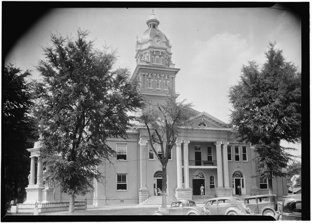
Photo: Wikipedia
Strategic Assessment of Lowndes County
Workable tactical position. Some exposure to population density or targets, but generally defensible in a crisis.
What does the Strategic Assessment tell us?
Our Strategic Assessment grades tactical survivability of an area. Major population centers, military targets, fallout zones, natural disasters, and border exposure all drive risk — lower exposure means a more defensible position in a crisis.
This is heavily inspired by Joel Skousen's Strategic Relocation book. Highly recommended you checkout the book ($)What does this tell us?
Our Strategic Assessment grades tactical survivability of an area. Major population centers, military targets, fallout zones, natural disasters, and border exposure all drive risk — lower exposure means a more defensible position in a crisis.
This is heavily inspired by Joel Skousen's Strategic Relocation book. Highly recommended you checkout the book ($)Strategic Pillars

Key Distances
Strategic Assessment Analysis
Lowndes County, Mississippi, rooted around the historic city of Columbus and the Tenn-Tom Waterway, presents a surprisingly strong case for the strategic relocator—someone weighing both self-sufficiency and broad-spectrum disaster readiness. Its position at the intersection of major transportation corridors and within a state that sits outside the highest-risk zones for both hurricanes and seismic activity offers a baseline resilience that few Deep South counties can match. While it is not a remote mountain redoubt, Lowndes County provides a defensible, resource-rich environment with the added benefit of functional infrastructure and a community that still remembers how to work with its hands.
Geographic position and natural advantages for long-term stability
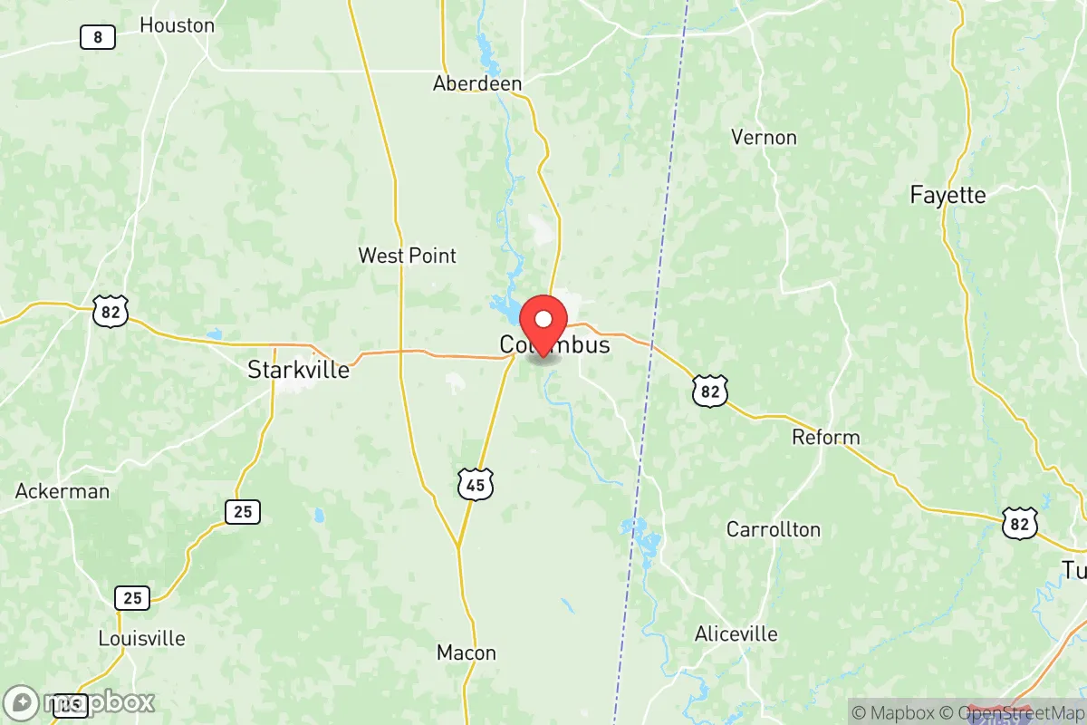
Lowndes County occupies a strategic southern corner of Mississippi, bordered by Alabama to the east and the Tennessee-Tombigbee Waterway cutting through its western edge. Columbus, the county seat, sits roughly 30 miles west of the Alabama-Georgia line and 80 miles north of the Gulf Coast—close enough to leverage coastal commerce but far enough to sidestep the worst storm surge and hurricane-force winds. The Tenn-Tom Waterway is a critical piece of national infrastructure, linking the Tennessee River to the Gulf of Mexico; for a relocator, this means reliable barge-based transportation of fuel, grain, and manufactured goods that can bypass vulnerable rail and truck networks. The landscape is rolling hills and mixed pine-hardwood forest, with the Tombigbee River providing a perennial water source and the surrounding Black Prairie region offering fertile soil for small-scale agriculture. Elevation across the county averages 200-300 feet, with enough topographic variety to permit effective rainwater catchment and gravity-fed water systems without the floodplain risks of the Delta. The area is also notably free of the sinkhole issues common to limestone-heavy regions further north, and the clay-heavy subsoil provides excellent passive thermal mass for earth-sheltered construction.
Risk exposure and proximity to fallout-relevant landmarks
No strategic assessment is complete without a sober look at threats, and Lowndes County has a mixed profile. The most significant man-made risk factor is Columbus Air Force Base (CAFB), located just north of the city. CAFB is a pilot training base for the T-6 Texan II and T-1 Jayhawk, not a nuclear-capable bomber or missile facility—which actually reduces its value as a first-strike target. However, it remains a military installation with associated communications and radar infrastructure that could draw secondary attention in a broader conflict. More concerning is the county's position relative to Tennessee Valley Authority (TVA) transmission corridors that run through the region, with the Browns Ferry Nuclear Plant in Alabama sitting roughly 40 miles east-northeast. While Browns Ferry is a commercial power plant (three boiling water reactors), a major incident there would place Lowndes County within the emergency planning zone for plume exposure. On the natural disaster front, the county experiences the standard Deep South severe weather—tornadoes, thunderstorms, and occasional winter ice—but its inland position spares it from direct hurricane impacts. The tornado risk is real but not exceptional for the region; the strongest EF-4 and EF-5 storms tend to track further west through Mississippi's Jackson corridor. The area's largely rural nature means a lower density of industrial chemical storage than you'd find in coastal refinery zones like Baton Rouge or Houston, though the Tenn-Tom Waterway does see barge traffic carrying petroleum products and agricultural chemicals.
Practical resilience for a relocator—food, water, energy, and defensibility
For someone serious about self-sufficiency, Lowndes County offers a practical foundation. Water is abundant: the Tombigbee River and its tributaries, along with the Columbus Lake impoundment, provide surface sources, while the Eutaw-McShan aquifer beneath much of the county yields reliable groundwater at moderate depths (typically 100-300 feet for domestic wells). The growing season stretches from late March to early November, allowing for two crop cycles of staples like corn, beans, squash, and leafy greens. Soil quality varies from the rich black clay of the prairie to sandy loam in the river bottoms; both can be productive with proper amendment. The region has a strong hunting culture, with white-tailed deer, wild turkey, and feral hogs present in sufficient numbers to supplement protein stores. Energy resilience is mixed: the county is served by TVA power (via 4-County Electric Power Association), which means a relatively stable grid with multiple generation sources, but the distribution network can be fragile in ice storms and wind events. Solar access is good—roughly 215 sunny days per year with 4.5-5 peak sun hours—and battery storage is becoming practical as costs drop. Defensibility is the weakest point for a suburban home in Columbus proper; the geography is open enough that a determined group could approach from multiple directions. However, the rural areas east of the Tombigbee toward the Alabama line offer better choke points: the river bridges can be monitored, and the network of county roads allows for multiple egress routes without funneling through Columbus. The Mississippi Highway 45 and US 82 corridors provide access to supplies in Starkville (25 miles west) and Tuscaloosa (60 miles east), but both routes could become congested during a regional evacuation. The nearby John C. Stennis Lock and Dam at the county's southern edge is worth noting: it is a critical piece of waterway infrastructure that could become a point of friction in a prolonged disruption, but for a relocator it simply means boat-based access to the wider Gulf Intracoastal system.
The overall strategic picture for Lowndes County is one of moderate-to-strong resilience for a relocator willing to choose rural property over a suburban lot. The combination of a perennial river system, arable land, a temperate climate, and moderate population density (roughly 230 people per square mile in the rural areas, compared to over 1,000 in Columbus proper) creates conditions where a prepared household can achieve genuine self-sufficiency without the logistical nightmare of a remote mountain location. The presence of Columbus Air Force Base and the Browns Ferry nuclear plant introduces non-trivial but manageable risk, while the county's distance from major metropolitan targets like Atlanta (200 miles east) and Memphis (150 miles north) reduces the likelihood of being caught in a cascading urban collapse. For the family or individual who prioritizes a lower profile, a four-season garden, and access to water without needing to drill a mile-deep well, Lowndes County deserves serious consideration—not as a doomsday bunker, but as a place where one can live a competent, grounded life while being prepared for the shocks that the 21st century is likely to deliver.

* Values derived from national, state, county, city and local statistics and may differ in a specific area. Last updated: 2026-06-30T04:39:33.000Z
Narrative content on this page is AI-generated and may contain mistakes. Verify any details that matter before acting on them.
ReloMaps may earn a commission from affiliate links at no extra cost to you.

