Photo: Wikipedia
Demographics of Lowndes County
Affluence Level in Lowndes County
A below-average socioeconomic profile. Incomes, home values, and educational attainment trail the U.S., with higher poverty and unemployment.
People of Lowndes County
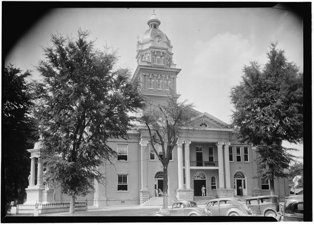
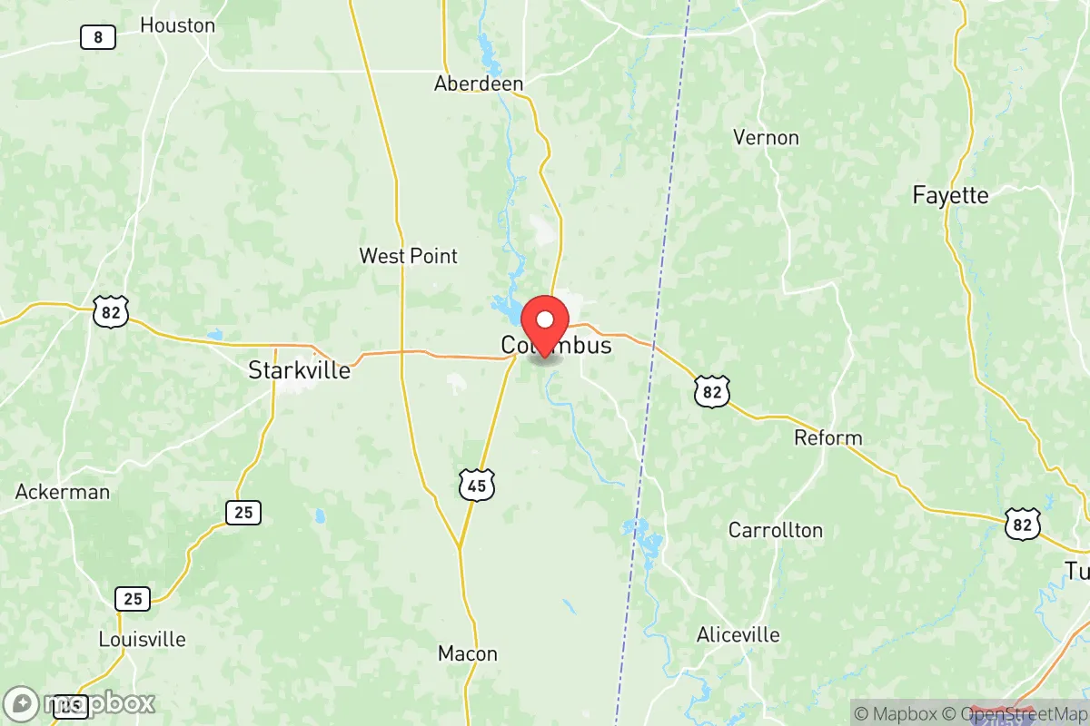
Today, the 58,187 residents of Lowndes County, Mississippi form a nearly evenly split biracial community — 49.8% White and 43.8% Black — with a strikingly small foreign-born population of just 1.1%. This is a deeply rooted, majority-native-born population concentrated in the county seat of Columbus, with smaller pockets in Caledonia, Crawford, and Steens. The county’s identity is shaped by its history as a Black Belt agricultural hub, a Civil War manufacturing center, and a slow-growth region where population has remained remarkably stable for decades, with very little new immigration or domestic influx.
Settlement & growth (pre-1960)
Before American settlement, the area that became Lowndes County was controlled by the Choctaw Nation, whose villages and hunting grounds covered the Tombigbee River basin. The Choctaw were forcibly removed through the Treaty of Dancing Rabbit Creek in 1830, opening the land to white settlement. Lowndes County was formally established in 1830, named for U.S. Representative William Lowndes of South Carolina, and its first wave of settlers were Anglo-American planters from Virginia, the Carolinas, and Georgia, drawn by the rich alluvial soils of the Black Belt. These planters brought enslaved African people with them, and by 1860, enslaved people made up over 60% of the county’s population — the foundation of the cotton plantation economy. The county seat of Columbus was laid out in 1821 and grew as a river port on the Tombigbee, shipping cotton south to Mobile.
During the Civil War, Columbus became a major Confederate manufacturing and hospital center, earning the nickname “the Brighton of the South.” The post-Reconstruction period saw the emergence of a large freed Black population concentrated in rural farming communities like Bent Oak and Mayhew, as well as in Columbus’s “Nashville Bottom” and “Baptist Bottom” neighborhoods. The county’s economy shifted from cotton to light manufacturing in the early 20th century, with the arrival of textile mills and a paper mill at Steens that drew both White and Black workers from the surrounding countryside. The Great Migration (roughly 1910–1970) saw a significant outflow of Black residents to Northern industrial cities like Chicago and Detroit, reducing the county’s Black population share from a majority to near parity. By 1960, the county’s population had settled at roughly 41,000, with a White majority for the first time since the 1830s.
Modern era (post-1965)
The 1965 Hart-Cellar Act had almost no effect on Lowndes County. With a foreign-born share of just 1.1% today — far below the national average of 13.7% — immigration has not reshaped local demographics. Instead, the post-1965 story is one of domestic stability and gradual suburbanization. The county’s population grew modestly from 41,000 in 1960 to 59,000 in 1980, then plateaued. The Black population share rebounded from a low of roughly 35% in 1970 to 43.8% today, driven by a combination of White out-migration to suburban counties and a slightly higher Black birth rate. The small Hispanic population (2.2%) and the even smaller East/Southeast Asian community (0.6%) and Indian subcontinent community (0.4%) are almost entirely concentrated in Columbus, tied to the local Weisner-Benning air base (Columbus Air Force Base), which has brought in small numbers of military-affiliated families and civilian contractors since the 1960s. The base is also the county’s largest single employer, anchoring the local economy alongside Severstal (now Steel Dynamics) in Steens — a modern steel mill that opened in 2003 and employs over 800 workers.
Suburbanization has been muted compared to faster-growing parts of Mississippi. The incorporated town of Caledonia (population roughly 1,100) has seen some new construction by families seeking larger lots and lower taxes than Columbus proper, but the county lacks any true exurban boom. The small community of Crawford (population roughly 600) near the Noxubee County line has remained predominantly Black and rural, with little new development. Meanwhile, Columbus’s historic Downtown and Northside neighborhoods have seen some reinvestment, but the overall character remains that of a stable, slow-growth Southern micropolitan area.
The future
Lowndes County’s population is projected to decline slightly over the next 20 years, due to an aging demographic (median age 36) and little net in-migration. The county will likely become slightly more diverse at the margins, with the Hispanic share rising from 2.2% toward 5% as workers are drawn to the steel mill and regional distribution centers along the Highway 82 corridor. East/Southeast Asian and Indian communities will probably remain tiny, tied to the air base and the Columbus Light and Water industrial park. The defining trend, however, is racial neighborhood stability: Columbus’s historic Black neighborhoods — such as the 28th Avenue corridor and East Columbus — are likely to persist, while White households continue to cluster in the city’s western and northern edges, in North Columbus and the Riverhill area. The county’s cultural identity will remain that of a traditional, deeply rooted Black Belt community where religion (predominantly Baptist and Methodist), high school football, and family ties outweigh the demographic churn seen in larger metros.
For someone moving in now, Lowndes County is a place where the population is stable and the human story is written not by new arrivals but by families who have been here for generations. The low foreign-born share means the county lacks the ethnic enclaves and cultural variety of larger cities, but it also means a sense of continuity and community that is increasingly rare. The bottom line: this is a region where the past is still very much present, and the future will be a slow evolution — more diverse at the edges, but fundamentally shaped by the long arc of plantation, industrial, and military history.

* Values derived from national, state, county, city and local statistics and may differ in a specific area. Last updated: 2026-06-30T04:39:33.000Z
Narrative content on this page is AI-generated and may contain mistakes. Verify any details that matter before acting on them.
ReloMaps may earn a commission from affiliate links at no extra cost to you.

