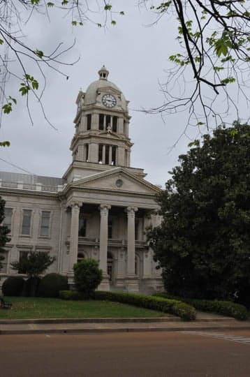
Photo: Wikipedia
Strategic Assessment of Leflore County
Workable tactical position. Some exposure to population density or targets, but generally defensible in a crisis.
What does the Strategic Assessment tell us?
Our Strategic Assessment grades tactical survivability of an area. Major population centers, military targets, fallout zones, natural disasters, and border exposure all drive risk — lower exposure means a more defensible position in a crisis.
This is heavily inspired by Joel Skousen's Strategic Relocation book. Highly recommended you checkout the book ($)What does this tell us?
Our Strategic Assessment grades tactical survivability of an area. Major population centers, military targets, fallout zones, natural disasters, and border exposure all drive risk — lower exposure means a more defensible position in a crisis.
This is heavily inspired by Joel Skousen's Strategic Relocation book. Highly recommended you checkout the book ($)Strategic Pillars

Key Distances
Strategic Assessment Analysis
Leflore County, Mississippi, offers a strategic blend of deep-rooted agricultural resilience and relative geographic isolation that appeals to relocation-minded individuals and families prioritizing self-sufficiency and disaster preparedness. Situated in the Mississippi Delta, the county's primary economic and logistical anchor is the city of Greenwood, which provides a modest but functional hub for supplies, healthcare, and regional employment. For a reader thinking seriously about long-term stability and readiness, Leflore County presents a mixed picture: strong local food production and water access are counterbalanced by exposure to natural flood risks and proximity to certain man-made vulnerabilities that warrant careful consideration.
Geographic position and natural advantages for long-term stability
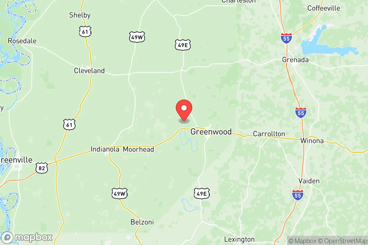
Leflore County sits in the heart of the Yazoo-Mississippi Delta, a region defined by its flat, fertile alluvial soils and extensive water resources. The county is bordered by the Yazoo River to the south and the Tallahatchie River to the north, with numerous smaller bayous and drainage canals crisscrossing the landscape. This abundance of surface water is a genuine asset for off-grid water sourcing, though treatment is necessary. The land itself is among the most productive agricultural ground in the United States, meaning local food production—particularly row crops like soybeans, rice, and corn—is a built-in feature of the regional economy. For a relocator, this translates to easier access to bulk food supplies and a culture that understands farming and land stewardship. Greenwood, the county seat, is roughly 90 miles north of Jackson and 130 miles south of Memphis, placing it far enough from major metropolitan centers to avoid the worst of urban collapse scenarios, yet close enough for supply runs or medical evacuation. The county's low population density—around 28 people per square mile—further reduces competition for resources in a crisis, a factor that distinguishes it from more crowded parts of the South.
Risks, exposures, and proximity to fallout-relevant landmarks
No strategic assessment is complete without an honest accounting of risks, and Leflore County has several that a preparedness-minded relocator must weigh. The most immediate natural threat is flooding. The county sits in the floodplain of the Yazoo and Tallahatchie Rivers, and heavy rain events—common in spring and summer—can produce widespread inundation. The 2019 Yazoo Backwater Flood, for example, submerged thousands of acres and affected communities like Itta Bena and Schlater for months. Any property purchase should be carefully vetted against FEMA flood maps, and elevated building sites or levee-protected areas are strongly preferred. On the man-made risk side, Leflore County is not near a major military base or refinery corridor, which is actually a positive in this context. However, the county is within 150 miles of the Entergy nuclear plant at Grand Gulf (Port Gibson, MS) and roughly 200 miles from the Tennessee Valley Authority's Browns Ferry plant in Alabama. While these distances provide a substantial buffer against direct fallout, a major incident could still affect regional supply chains and migration patterns. More immediately, the county's own industrial footprint is small: a few catfish processing plants, a steel fabrication facility, and a lumber mill near Greenwood. None are high-value targets, but a chemical spill from agricultural storage or a train derailment along the Grenada Railroad line—which runs through the county—is a credible localized hazard. The absence of large population centers or critical infrastructure makes Leflore County a low-priority target in a national security scenario, which is a meaningful advantage.
Practical resilience for a relocator: food, water, energy, and defensibility
For someone serious about self-sufficiency, Leflore County's practical resilience metrics are generally favorable, with some important caveats. Food security is the county's strongest suit. The Delta's agricultural output means that locally grown rice, soybeans, and corn are abundant, and catfish farming is a major industry. Farmers' markets and direct-from-farm purchasing are viable in and around Greenwood, and the region's hunting culture provides access to wild game like deer and waterfowl. Water access is excellent on paper—the rivers and bayous offer year-round surface water—but groundwater quality varies. Many rural homes rely on private wells, and testing for agricultural runoff (nitrates, pesticides) is essential. The Mississippi Delta's aquifer is generally reliable, but shallow wells in low-lying areas may be more vulnerable to contamination during floods. Energy resilience is a mixed picture. The county is served by Entergy Mississippi, and power outages from storms are common—especially during tornado season. Solar potential is moderate; the region receives about 5.0 peak sun hours per day, enough for a well-designed off-grid system, but tree cover in wooded areas can limit rooftop options. Propane and backup generators are widely used by rural residents, and wood heating is feasible given the surrounding timberland. Defensibility is a function of low population density and limited road access. The county's road network is sparse, with U.S. Route 82 and Mississippi Highway 7 as the primary arteries. Chokepoints exist at the few bridges crossing the Yazoo and Tallahatchie Rivers, which could be both a defensive asset and a liability if evacuation is needed. The flat, open terrain offers limited natural cover, but the agricultural landscape provides good lines of sight. For a family or small group, a well-chosen property with a reliable well, solar array, and garden plot on elevated ground near Greenwood or Money could be a highly defensible long-term position.
The overall strategic picture for Leflore County is one of tempered opportunity. Its agricultural abundance, low population density, and distance from major urban centers and high-value targets make it a credible choice for a relocator focused on food security and geographic buffer. The natural flood risk is real and demands careful site selection, but it is a known and manageable hazard—unlike the unpredictable fallout exposure of living near a major base or refinery corridor. For a single individual or family willing to invest in elevation, water testing, and backup power, Leflore County offers a resilient foundation that balances rural self-sufficiency with enough regional infrastructure—Greenwood's hospital, grocery stores, and hardware outlets—to avoid complete isolation. It is not a prepper's paradise, but it is a sober, workable option for those who value land, water, and distance over convenience and connectivity.

* Values derived from national, state, county, city and local statistics and may differ in a specific area. Last updated: 2026-06-15T19:31:49.000Z
Narrative content on this page is AI-generated and may contain mistakes. Verify any details that matter before acting on them.
ReloMaps may earn a commission from affiliate links at no extra cost to you.

